Trail Overview
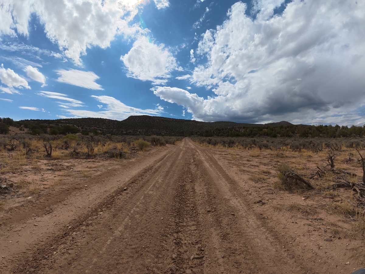
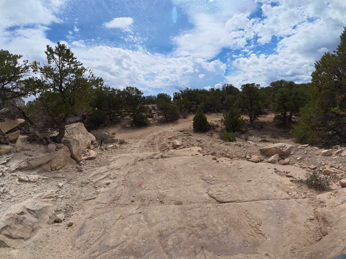
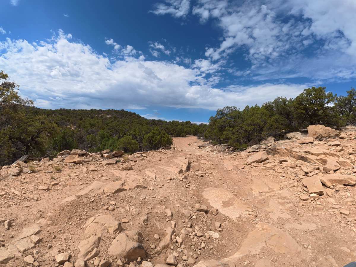
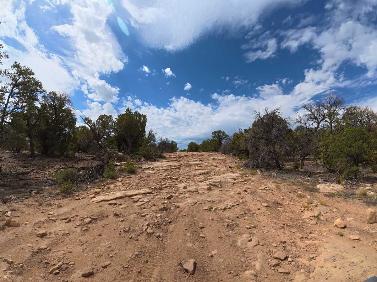
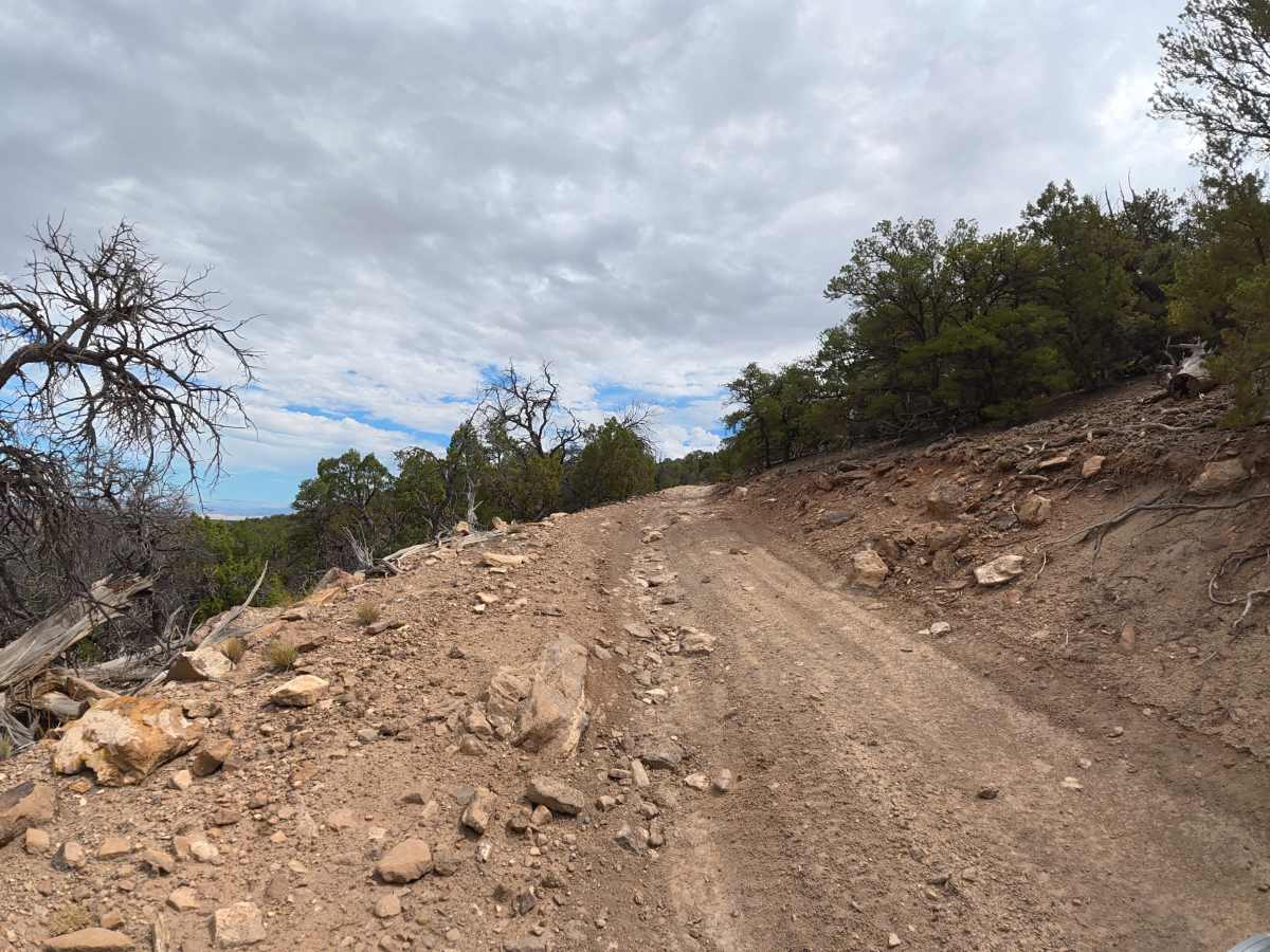
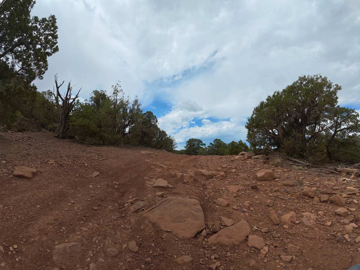
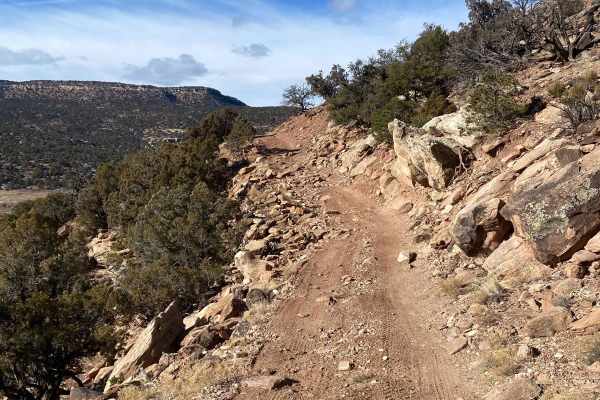
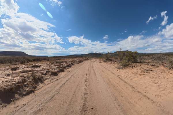
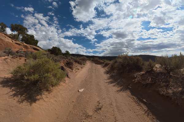
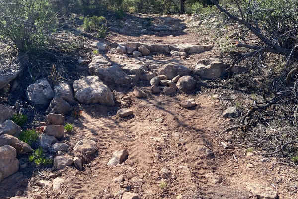
This scenic route begins at the end of Cactus Park Road and leads to the Upper Big Dominguez trailhead. The trail is mostly fine dirt and wide enough for vehicles to pass, but wet conditions can make it extremely difficult. Around 1.5 miles, ruts reach 10–14 inches deep, followed by a steep, rocky climb with rocks up to 14 inches in diameter and up to 10 degrees off-camber terrain. After the climb, a long rock garden includes numerous rocks and ledges up to 10–12 inches tall. At 1.3 miles, there is a restroom and parking for approximately 20 vehicles. Around 3.2 miles, a cliffside viewpoint provides level parking for up to 20 vehicles and expansive views of the surrounding area, making it an excellent place to stop for lunch or a break.
Difficulty
This trail has 10–14-inch ruts, a steep rocky climb, off-camber terrain, and an extended rock garden with 10–12-inch ledges. 4WD and at least 16 inches of clearance are recommended for the more technical sections.
History
Gibbler Mountain exposes a remarkable sequence of Jurassic rock layers, including the Kayenta, Entrada, Summerville, and basal Morrison formations, preserving evidence of changing environments roughly 145–200 million years ago. The area is also known for dinosaur and pterosaur tracksites, including theropod footprints documented since the 1970s and additional tracks discovered around Gibbler Mountain in the 1990s and 2011.