Trail Overview
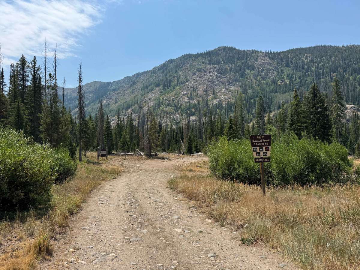
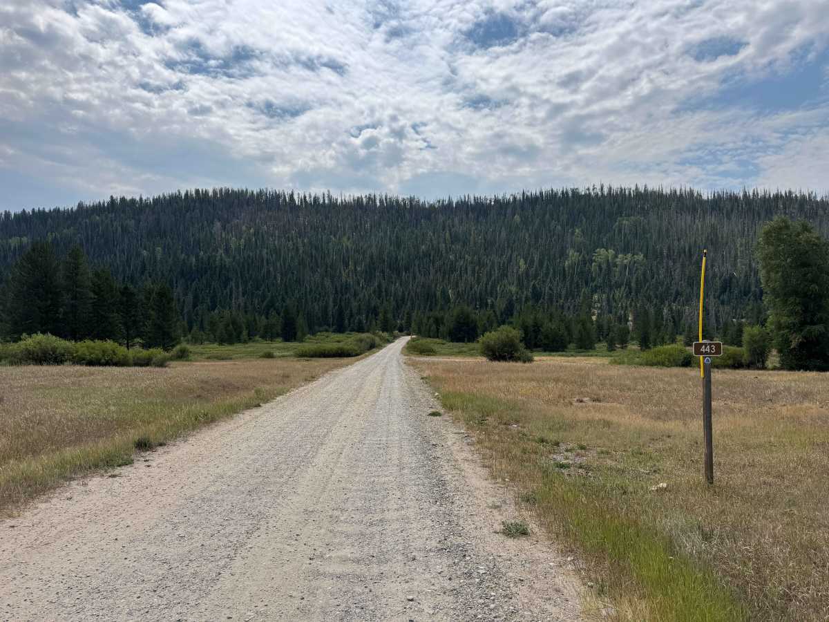
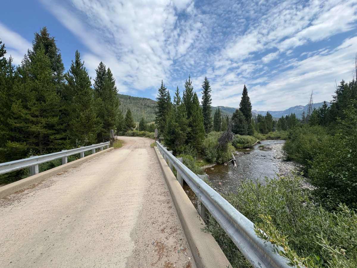
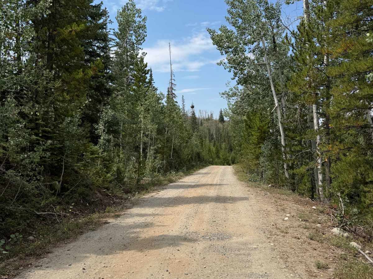
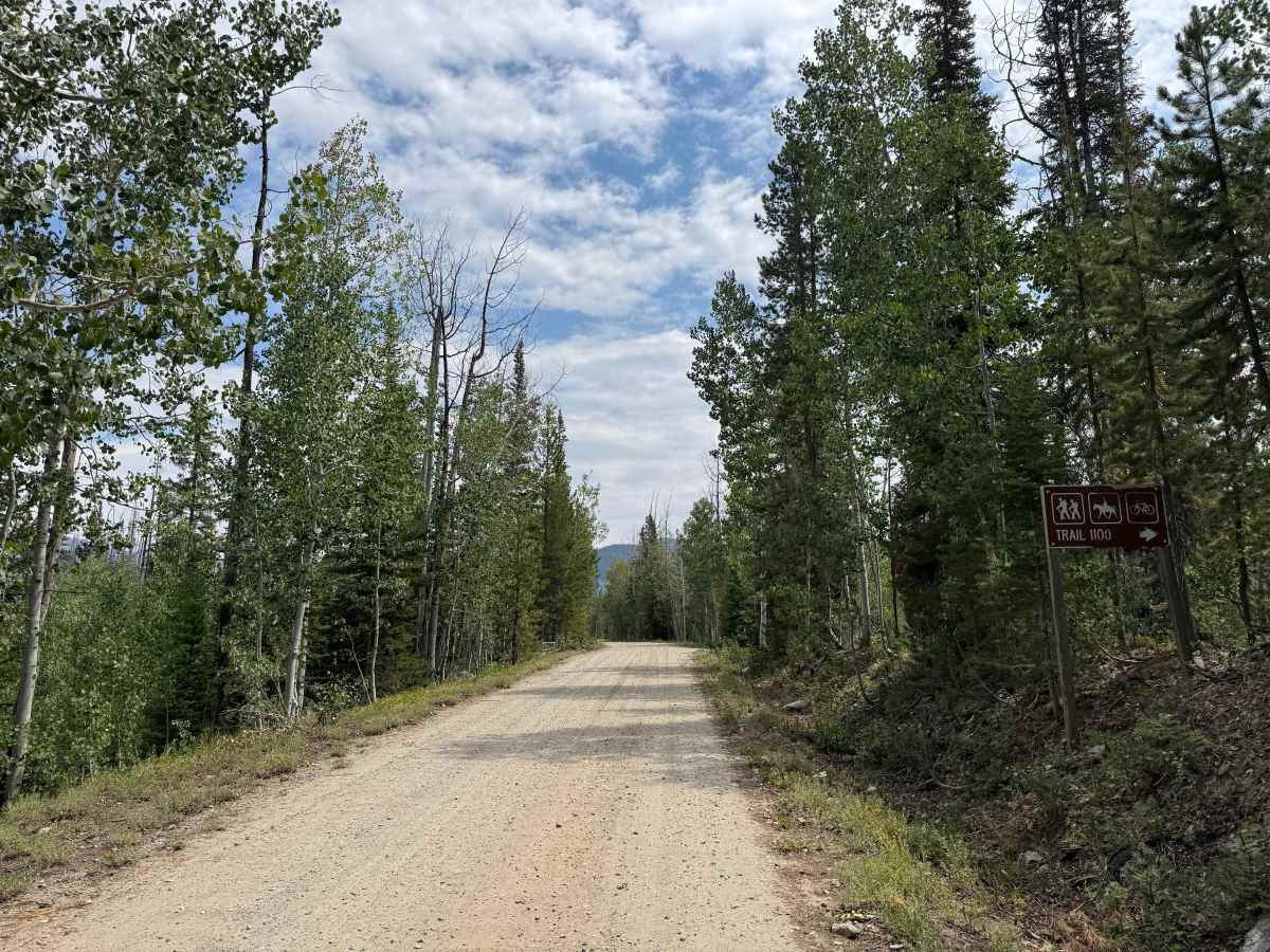
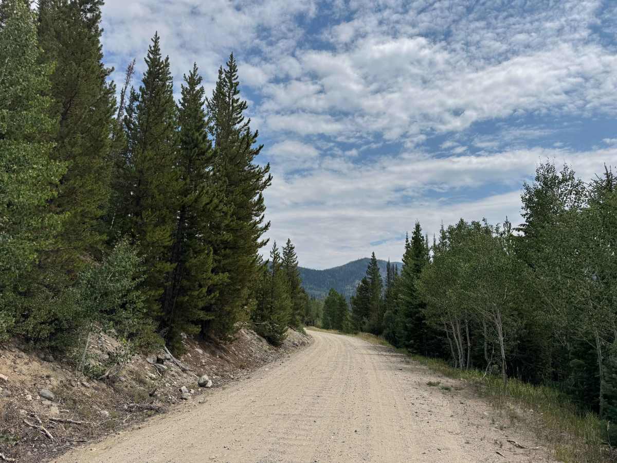
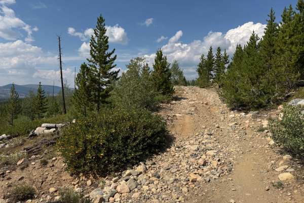
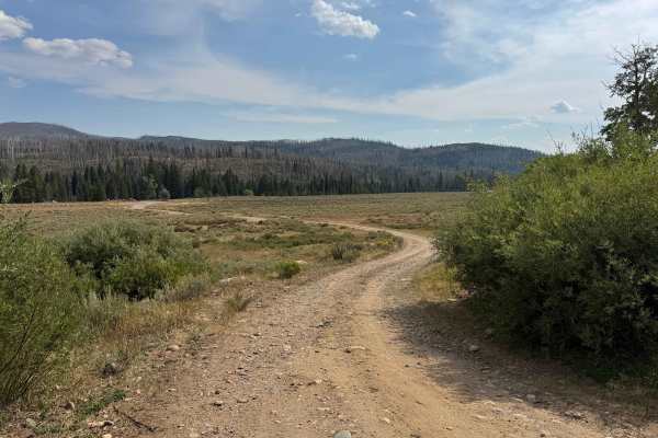
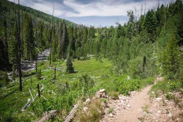
This beautiful National Forest route winds through a scenic mix of towering pine forests and open mountain meadows, providing access to three non-motorized trailheads along the way and at the end of the route. The first two-thirds are generally smooth and easily traveled by most vehicles, making for a relaxing drive through some of North Routt’s most picturesque scenery. The area is also an excellent place to watch for deer, elk, and other wildlife, particularly during the early morning and evening hours. As you approach the Three Island Trailhead, the character of the road changes considerably, becoming narrower and more technical with larger rocks requiring increased attention to tire placement. Past this point, you will need a high-clearance vehicle. Several attractive dispersed campsites can be found along the route, with additional camping and ample parking available near the final trailhead.
Difficulty
This is an easy route suitable for nearly any vehicle through the first section, with the difficulty increasing significantly after reaching the Three Island Trailhead. Beyond this point, the road becomes narrower and more technical, with several large, embedded boulders requiring careful tire placement and precise line selection. A high-clearance vehicle is strongly recommended to safely navigate some of the larger obstacles and reach the end of the route. Even in dry conditions, drivers should approach these sections cautiously and be prepared for substantial changes in terrain and vehicle clearance requirements.
History
Seedhouse Road, now also known as Routt County Road 64 and Forest Road 400 farther into the forest, has a history closely tied to the early development of northern Routt County. The name comes from a U.S. Forest Service seed-collection project established in 1912 to gather seeds and pine cones from the surrounding forests; although the project proved too costly, the site later served as a Forest Service summer camp during the 1930s and 1940s. The road follows the Elk River valley north of Clark and eventually enters the forests leading toward the Mount Zirkel Wilderness, providing access to numerous historic and popular mountain trailheads.