Trail Overview
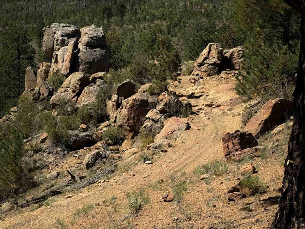
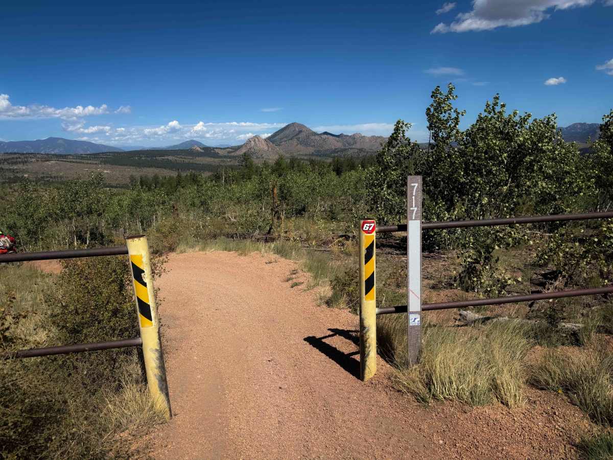
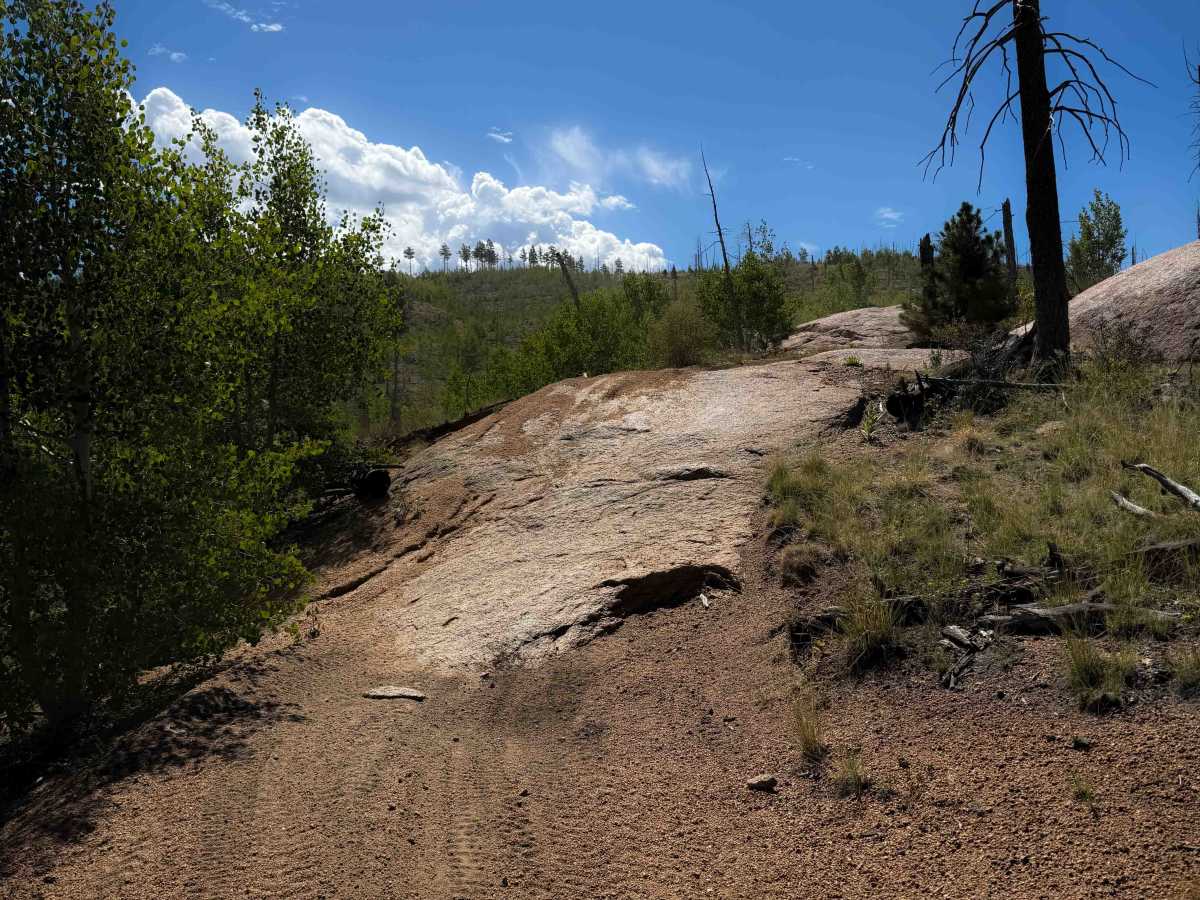
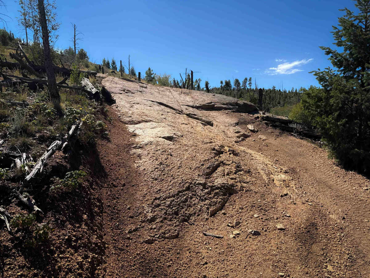
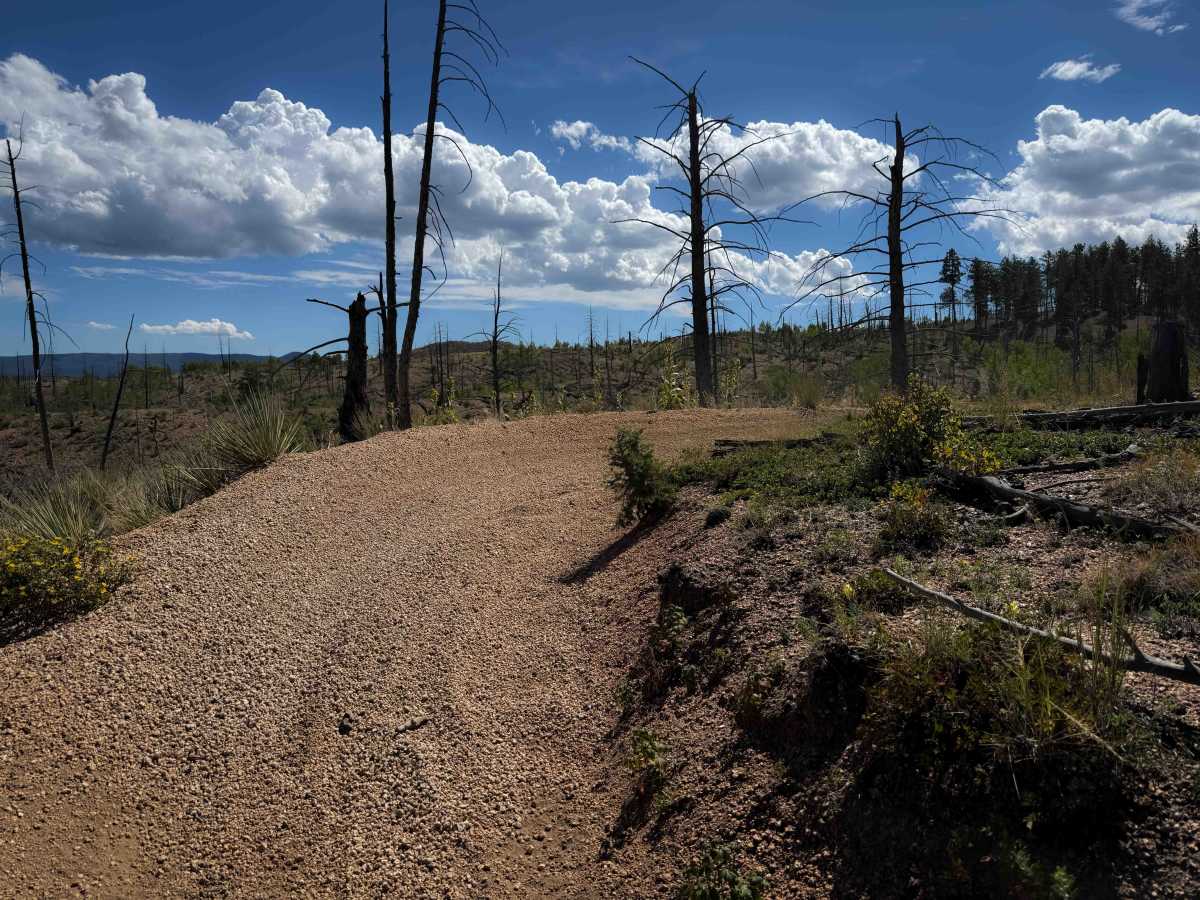
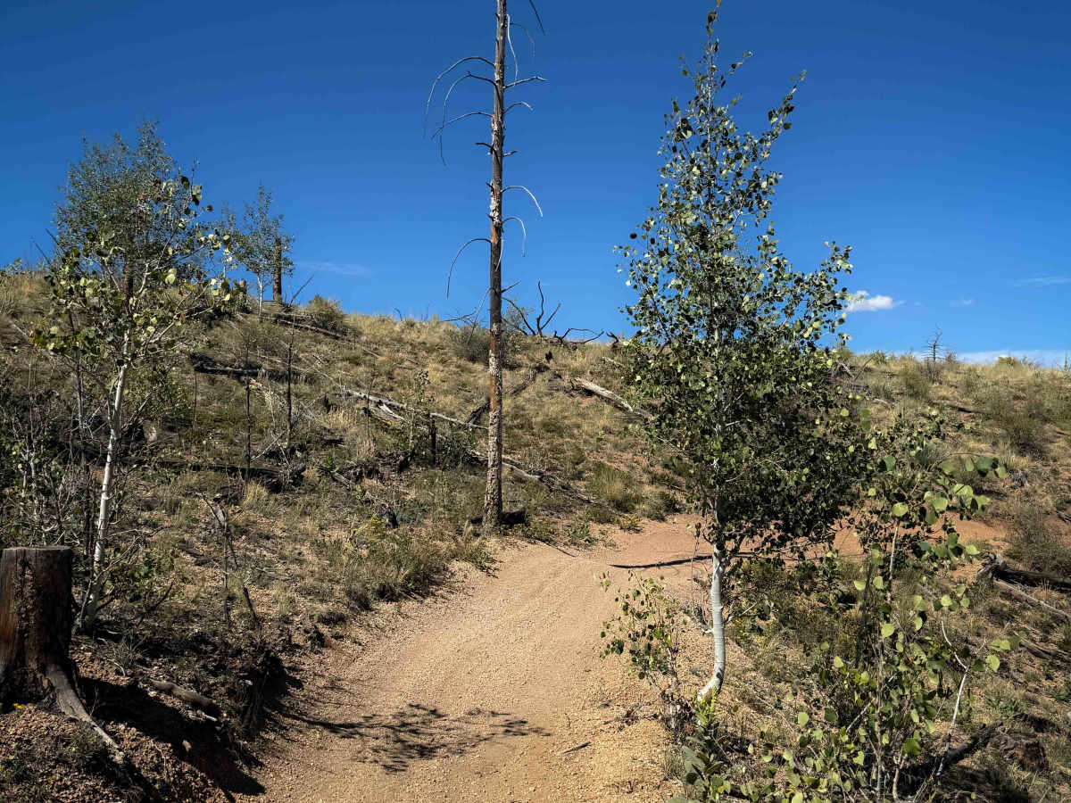
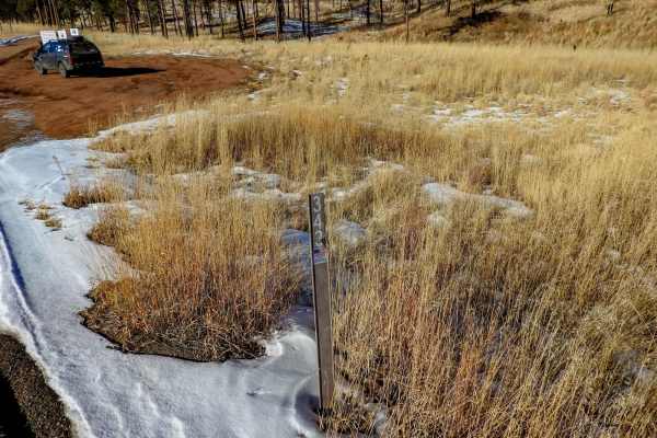
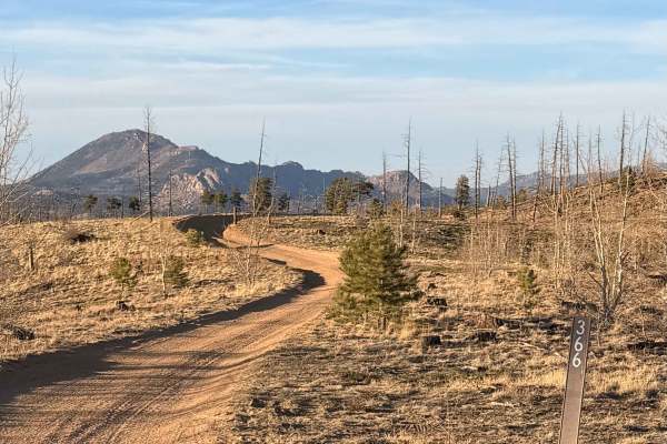
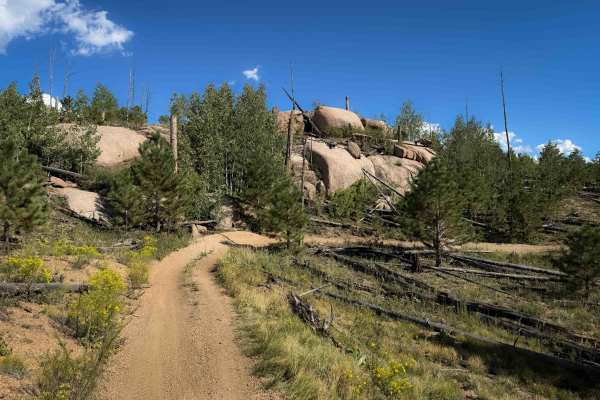
The northwest segment of 717 is a 10-mile-long section of easy ATV trail that connects the Phantom Spur Trail to County Road 33. There is a small dirt parking area at the north entrance to the trail that is a small pull-off. The trail is a wide two-track with lots of whoops and shallow ruts, and is mostly pea gravel that can be slippery. It gradually snakes along the rolling hillsides, through an open forest with wide views of the mountains. The trail is extremely curvy, with lots of blind corners. This is a popular riding area, as it’s not too far from either Denver or Colorado Springs, and it will have lots of riders on busy summer weekends. Expect two-way traffic and other users around all corners. The trail rides past giant granite rock outcroppings and scenic boulders. There are a few spots where the trail has layers of embedded slab rock or gets narrow between big boulders, but mostly it’s just smooth dirt and gravel with no obstacles.
Difficulty
This is an easy ATV trail because it is mostly smooth and gradual with no major obstacles. There are a few slab rock sections, but they are ramped and easy to ride over. The terrain and difficulty level are consistent throughout the entire 10-mile-long route.