Trail Overview
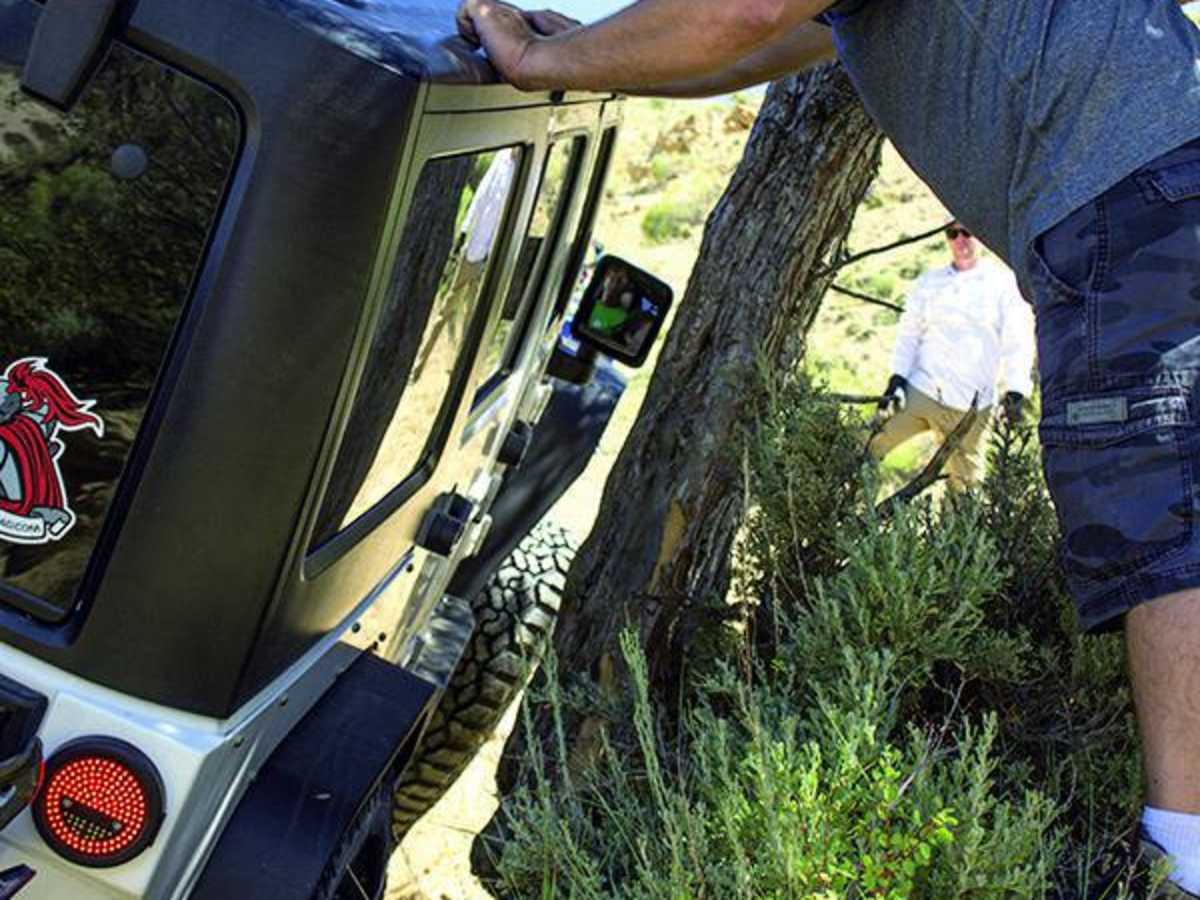
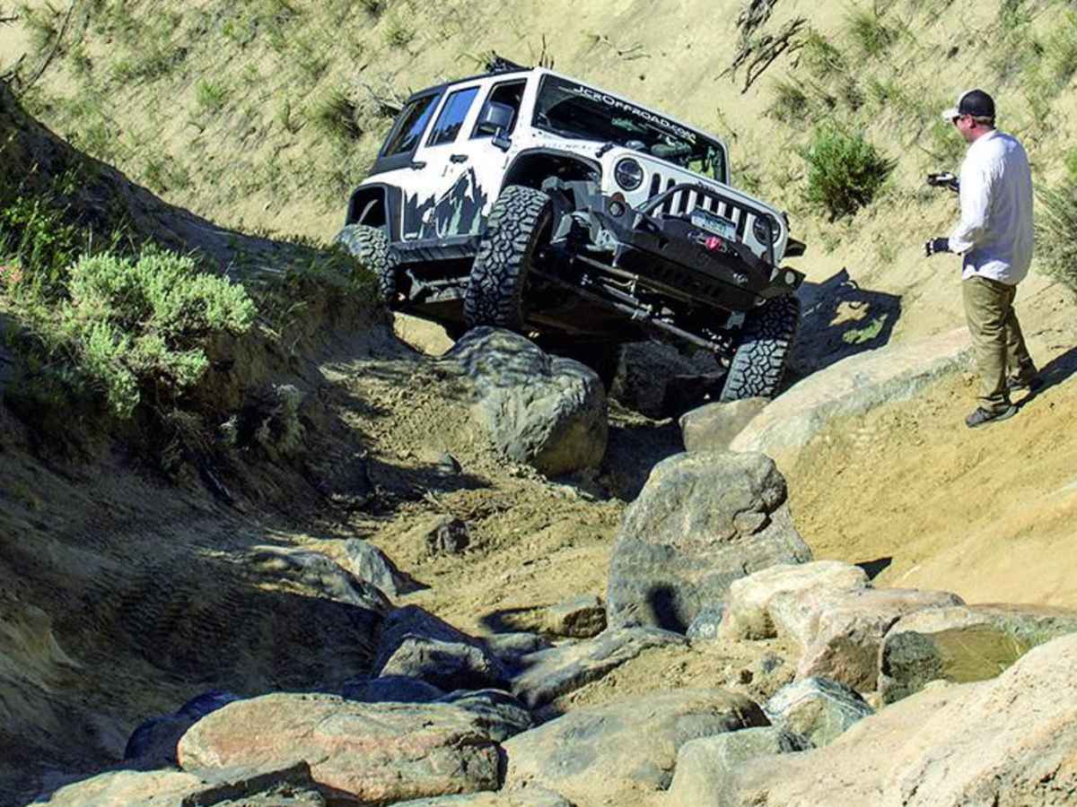
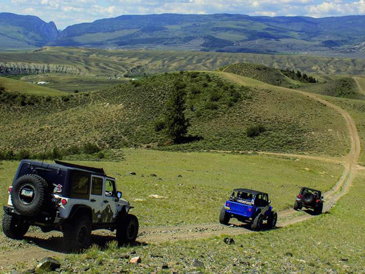
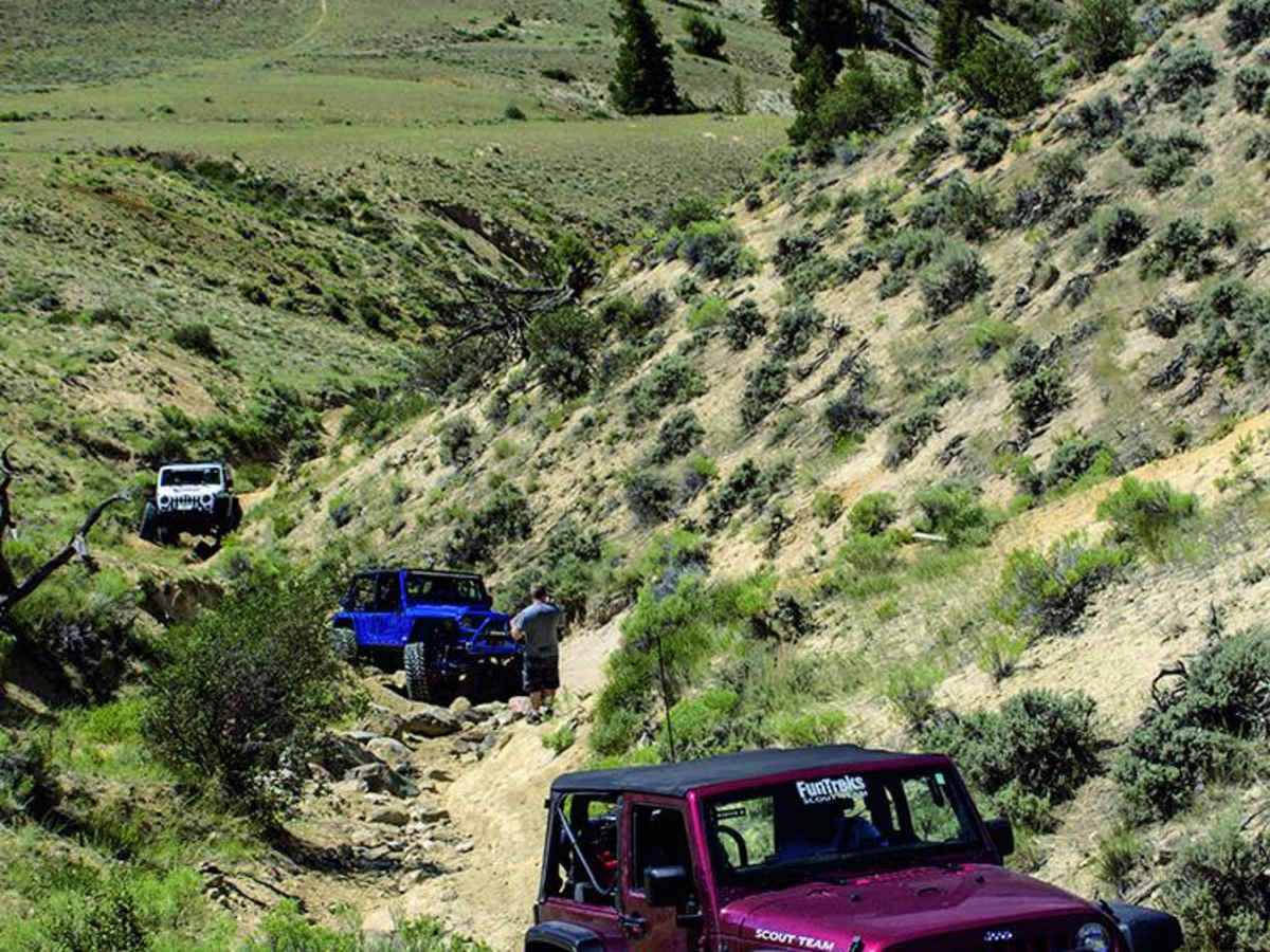
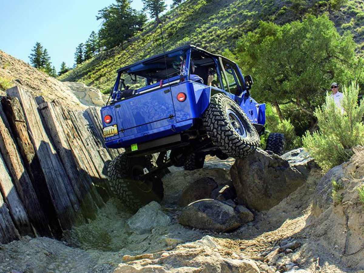
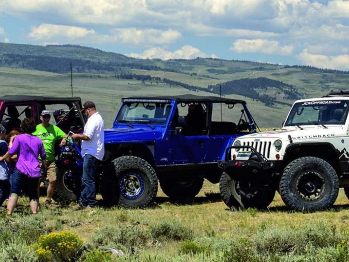
Sidewinder is a challenging, one-way rock crawling route near Kremmling, Colorado, designed specifically for highly capable four-wheel-drive vehicles seeking a technical obstacle course. Beginning at the bottom of a tight ravine with no room to turn around, this 1.7-mile trail climbs from 7,383 feet to 7,918 feet, accumulating approximately 551 feet of elevation gain. The trail features a series of demanding boulder obstacles that constantly shift, requiring a short wheelbase, minimum 35-inch tires, front and rear lockers, a winch, heavy-duty skid plates, and a spill kit. Because of the technical difficulty and tight squeezes, attempting this route alone is highly discouraged, and a spotter is recommended to navigate the steep climbs and rock gardens.
Originally built in 2005 by the local Metal Mashers club with Bureau of Land Management approval, the trail's boulders were placed by volunteers, with some donated by local landscaping companies. It is located within the larger Wolford Mountain Travel Area and is subject to seasonal closures from December 15 to April 15, as well as temporary closures when conditions are too wet. Access requires a registered OHV permit regardless of vehicle license plates, and the trail should only be attempted in dry conditions. To reach the trailhead, travel east from Highways 9 and 40 in Kremmling for one mile, turn left on County Road 22 across from McElroy Airfield, continue for one mile before turning left onto County Road 224, and follow it for 1.3 miles to the brown trail marker on the right.
Difficulty
Difficult. Attempt only when dry. Obstacles constantly change. We recommend a short wheelbase, minimum 35-inch tires, lockers, winch, skid plates and a spill kit. Do not go alone.
History
The trail was built in 2005 by the local Metal Mashers club with official approval from the Bureau of Land Management (BLM). Volunteers hand-placed all the boulder obstacles, some of which were donated by local landscaping companies. Sidewinder is situated within the larger Wolford Mountain Travel Area.
Access Description
The trail is subject to seasonal closures from December 15 to April 15, and is closed during excessively wet conditions to ensure safety and prevent resource damage. A valid OHV permit is required for all vehicles, including those with highway license plates. Attempting the trail is highly discouraged when wet, and it should not be traveled alone.