Southern Wolford Hills Connector

Total Miles0.6
Technical Rating
2Easy
Best TimeSpring, Summer, Fall, Winter
Trail TypeFull-Width Road
Accessible By
Open Trail Map

Trail Overview

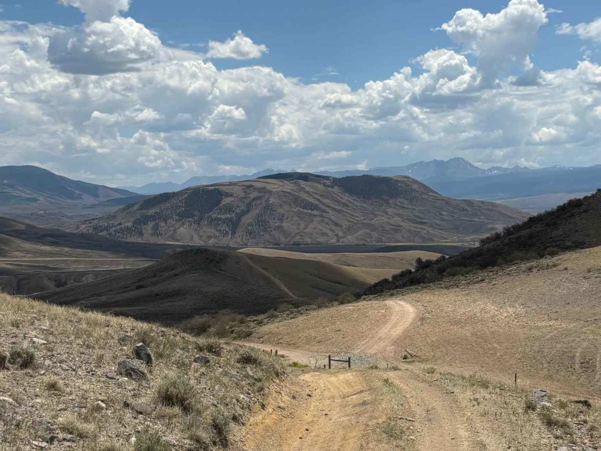
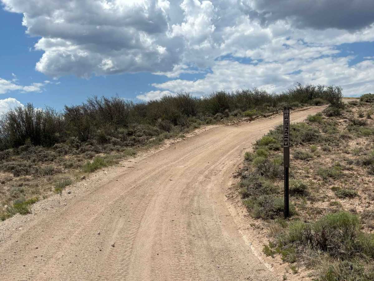
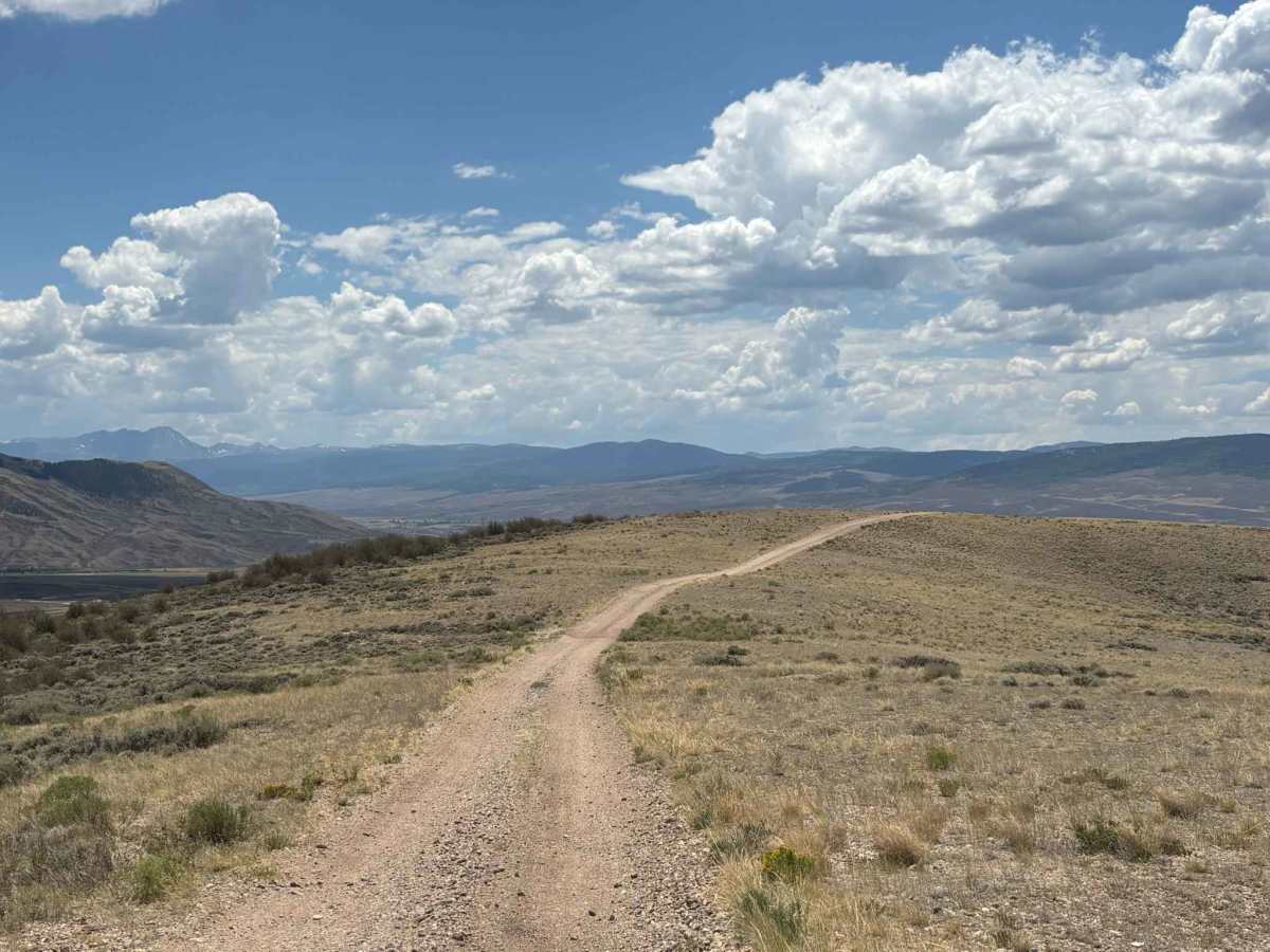
This route connects several sections of trail in the southern portion of the Wolford Hills, making it a useful link within the area's trail network. Along the way, it offers incredible views of the rolling hills and the surrounding mountain peaks. The road is slightly rough in places but remains approachable for most high-clearance off-road vehicles.

Photos of Southern Wolford Hills Connector

Difficulty

Slightly rocky at points

Technical Rating

2

Southern Wolford Hills Connector Trail can be accessed by the following ride types:

  • Single Track
  • 50 Inch
  • 60 Inch
  • High Clearance
  • Full Width

Southern Wolford Hills Connector Map

The onX Offroad Difference

onX Offroad combines trail photos, descriptions, difficulty ratings, width restrictions, seasonality, and more in a user-friendly interface. Available on all devices, with offline access and full compatibility with CarPlay and Android Auto. Discover what you're missing today!

Open Trail Map