Red Buck Mine

Total Miles1.4
Technical Rating
3Easy
Best TimeSummer
Trail TypeFull-Width Road
Accessible By
Open Trail Map

Trail Overview

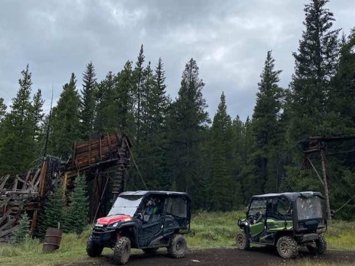
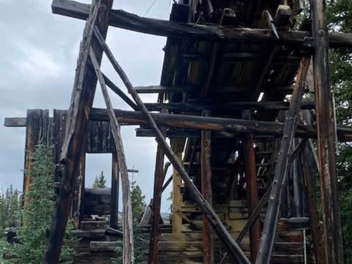
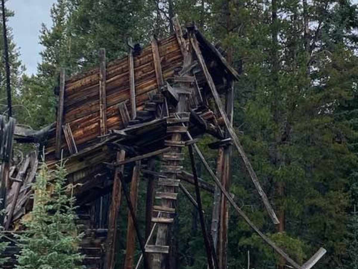
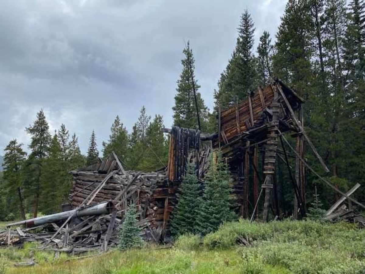
Red Buck Mine is a short, scenic off-road trail in Gunnison National Forest leading to well-preserved 19th-century mining ruins. The 1.4-mile dirt route climbs 512 feet to a maximum elevation of 10,458 feet. It winds up to the historic Columbine Mining Complex, featuring remnants of old cabins, mining machinery, ore car rails, and a dilapidated stamping mill. The trail begins just north of Tin Cup on Cumberland Pass Road, passing the historic townsite of Abbeyville, marked by a single remaining cabin in a meadow. While narrow and potentially slick when wet, the route is highly accessible for most stock 4WD and high-clearance vehicles.

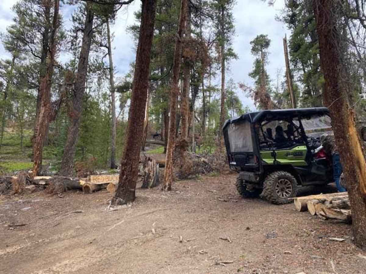
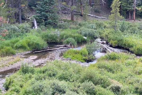
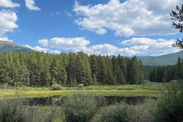
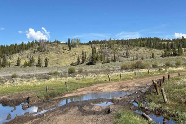
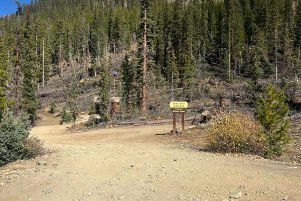
Photos of Red Buck Mine

Difficulty

The trail can be slick when wet. It is narrow but there are places to pass.

History

This trail passes through what was once the historic town of Abbeyville. When Abbeyville's mining boom declined, most of its structures were dismantled and repurposed to build the neighboring town of Tin Cup. Today, only a single historic cabin remains standing in the meadow on the eastern edge of the route as a testament to the area's late 19th-century pioneer history.

Technical Rating

3

Status Reports

Add Status Report
Katie Peacock
Jul 03, 2025
2022 Jeep Wrangler
Open
Dusty
Really cool place to check out!

Red Buck Mine Trail can be accessed by the following ride types:

  • Single Track
  • 50 Inch
  • 60 Inch
  • High Clearance
  • Full Width

Red Buck Mine Map

The onX Offroad Difference

onX Offroad combines trail photos, descriptions, difficulty ratings, width restrictions, seasonality, and more in a user-friendly interface. Available on all devices, with offline access and full compatibility with CarPlay and Android Auto. Discover what you're missing today!

Open Trail Map