Rainbow Lake Road

Total Miles13.5
Technical Rating
1Easy
Best TimeSpring, Fall, Summer
Trail TypeFull-Width Road
Accessible By
Open Trail Map

Trail Overview

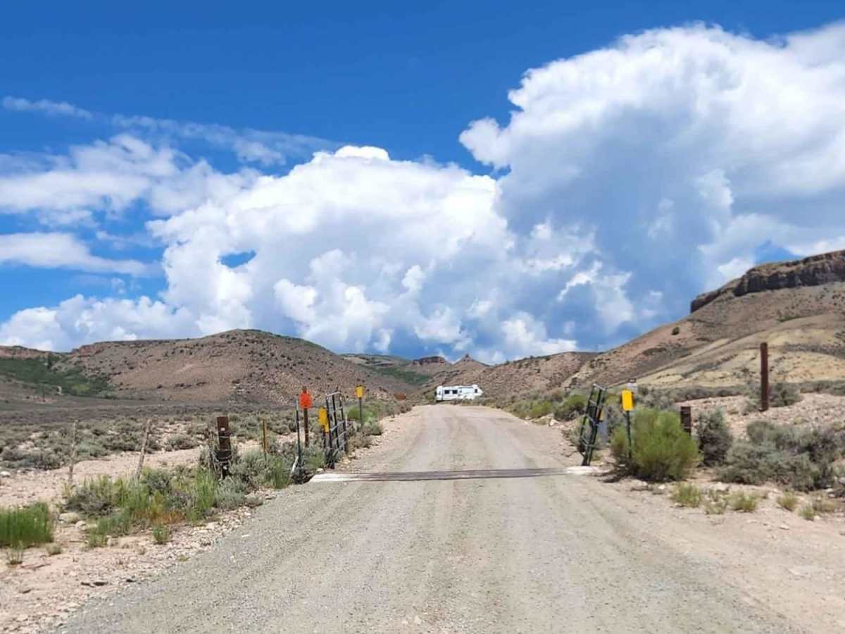
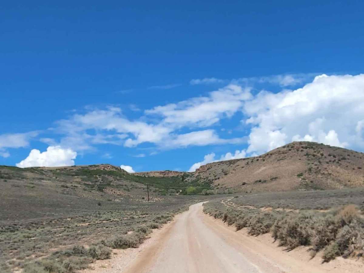
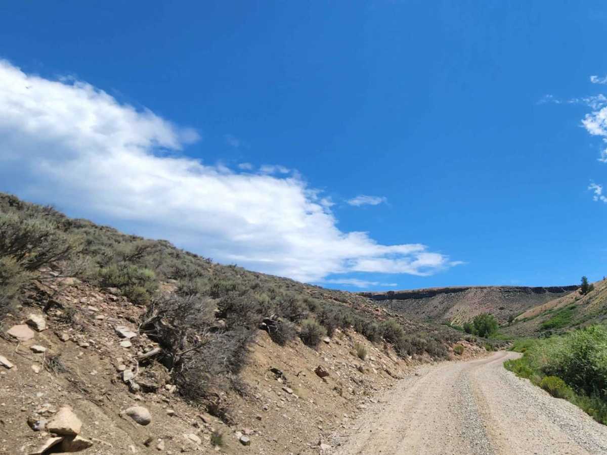
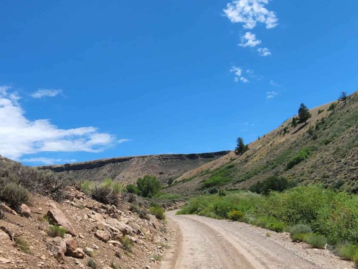
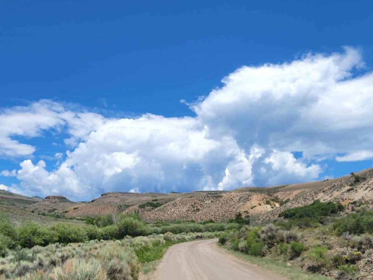
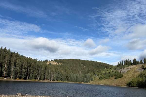
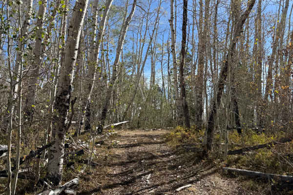
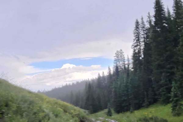
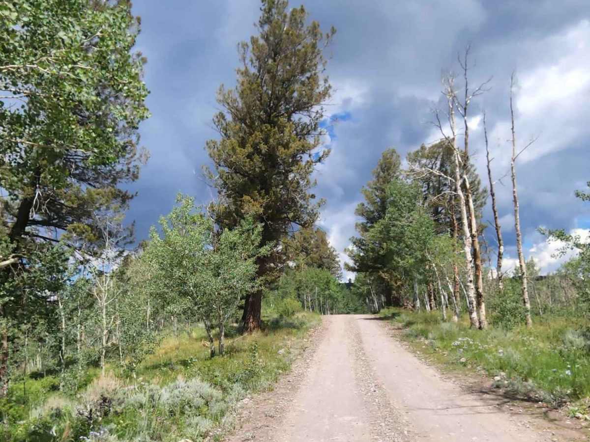
Rainbow Lake Road is a scenic, 13.5-mile dirt road through the Gunnison National Forest, stretching between US Highway 50 near Blue Mesa Reservoir and high-alpine country. The route climbs from 7,542 feet to 11,059 feet, winding through dense aspen groves and offering sweeping mountain vistas. Rated as an easy, two-vehicle-wide route, it is suitable for high-clearance two-wheel-drive vehicles in dry conditions, but wet weather makes the dirt surface muddy and requires four-wheel drive. The corridor serves as an active logging area, so drivers must yield to large logging trucks. It provides access to alpine lakes, trailheads, and dispersed camping. High-altitude snowpacks typically close the road from late autumn through late spring, making summer and early autumn the best times to visit.

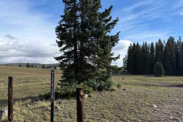
Photos of Rainbow Lake Road

Difficulty

This trail is muddy when wet.

Technical Rating

1

Rainbow Lake Road Trail can be accessed by the following ride types:

  • Single Track
  • 50 Inch
  • 60 Inch
  • High Clearance
  • Full Width

Access Description

Rainbow Lake Road is managed by the U.S. Forest Service within the Gunnison National Forest. There are no fees or permits required to drive the road, but dispersed campers should follow Leave No Trace principles and local campfire restrictions. Be prepared for active logging operations along the corridor, yielding to large logging trucks.

Rainbow Lake Road Map

The onX Offroad Difference

onX Offroad combines trail photos, descriptions, difficulty ratings, width restrictions, seasonality, and more in a user-friendly interface. Available on all devices, with offline access and full compatibility with CarPlay and Android Auto. Discover what you're missing today!

Open Trail Map