Trail Overview
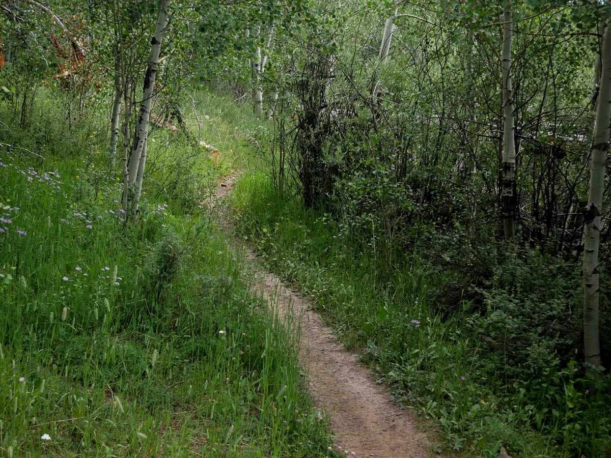
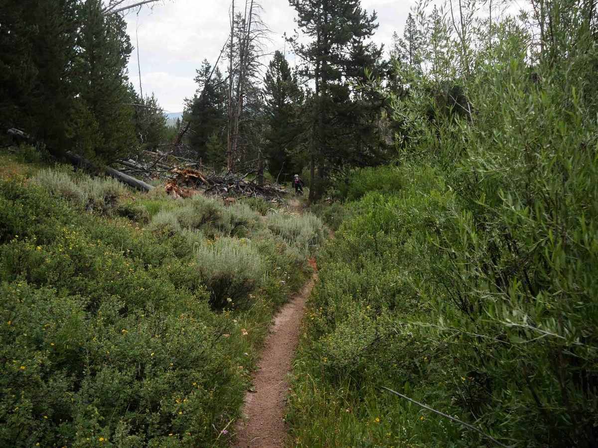
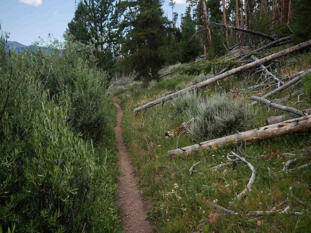
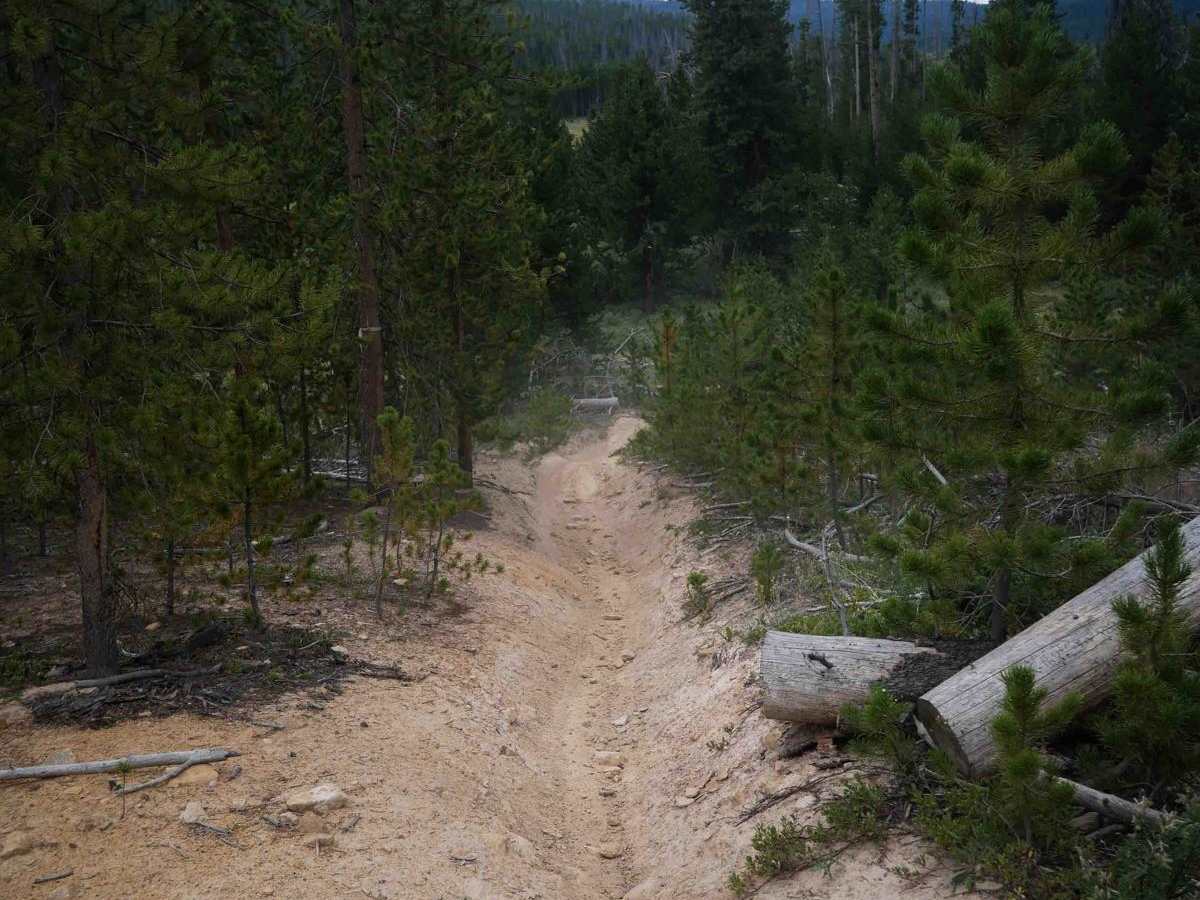
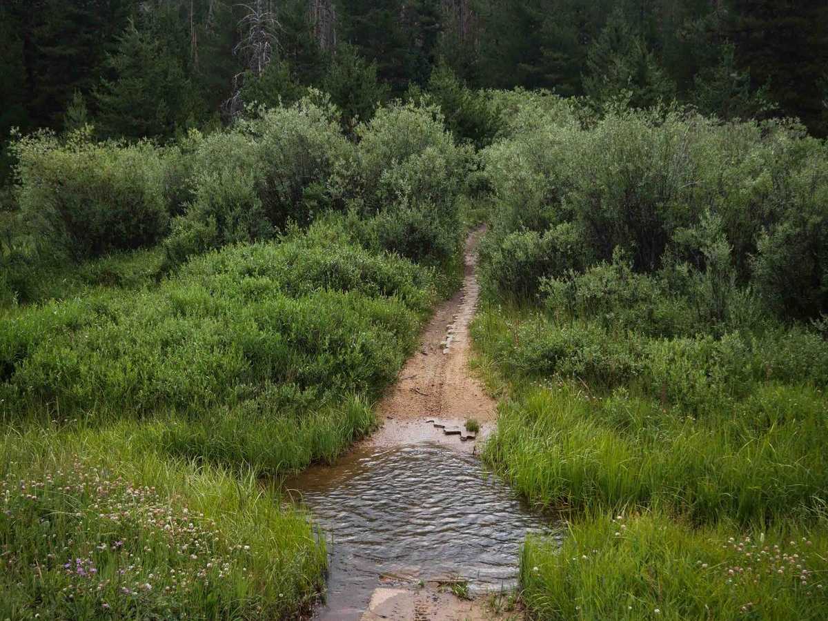
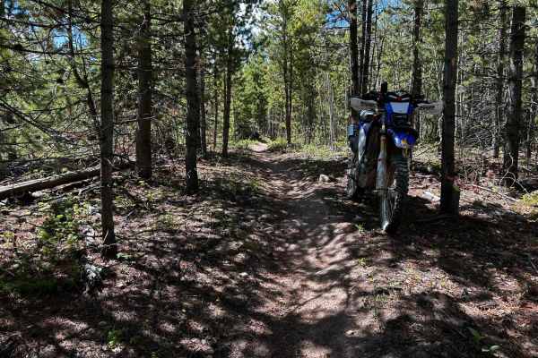
Radial Mountain Trail is a 7.4-mile-long dirt bike trail that offers a mostly smooth and easy ride through meadows and forested terrain in the Routt National Forest. The trail begins near the Snyder Creek Trailhead, starting as a narrow, fast single track with small roots, brake bumps, and gentle curves as it winds through open areas along the edge of the pine trees. After crossing a road, the trail continues into more scenic meadows, with some mild shelfy segments along hillsides, though no technical obstacles. Around the 2.5-mile mark, the route transitions into a wide, flat grassy road corridor, though still designated for dirt bikes only, making for a very straightforward ride with long straightaways and gradual curves. A brief return to single track occurs at the north end just before the intersection with the Illinois Ditch ATV trail. The entire trail is well-suited for newer or younger riders looking for a mellow introduction to single track.
Difficulty
This is an easy trail due to its smooth surface, gradual grade, and lack of technical obstacles. The road section is extremely easy, and the single track is slightly harder because it is narrow and curvy.