Missionary Ridge Road

Total Miles24.5
Technical Rating
3Easy
Best TimeSummer
Trail TypeFull-Width Road
Accessible By
Open Trail Map

Trail Overview

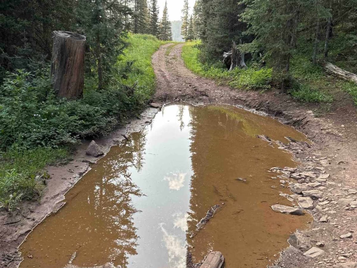
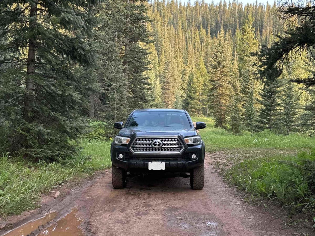
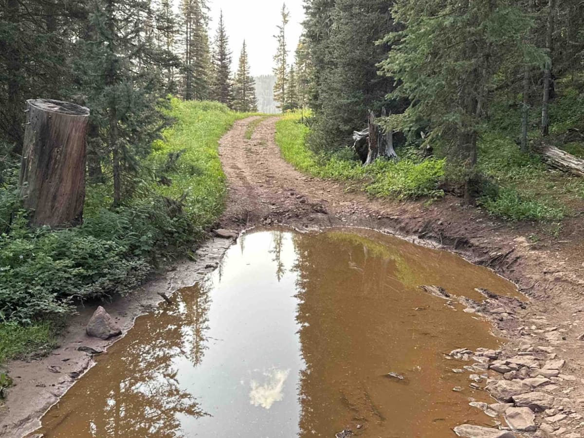
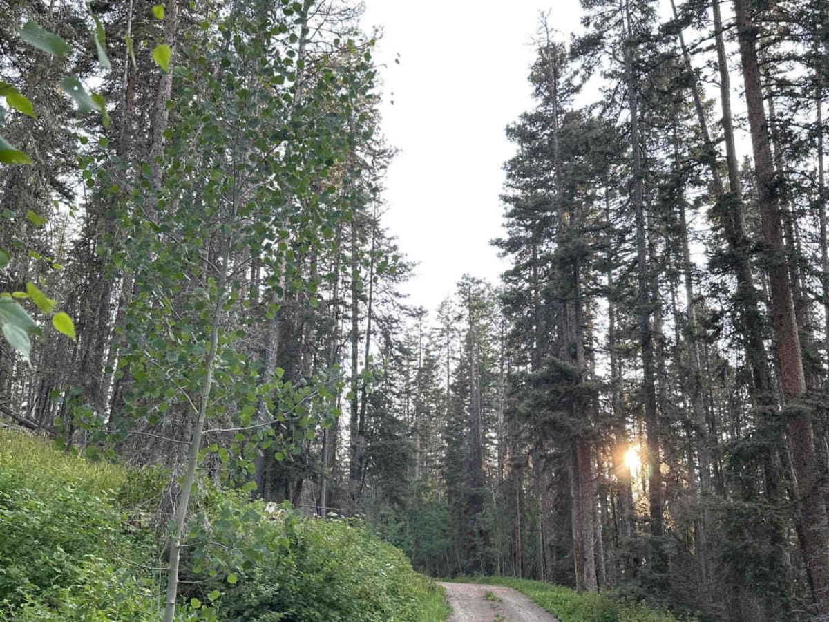
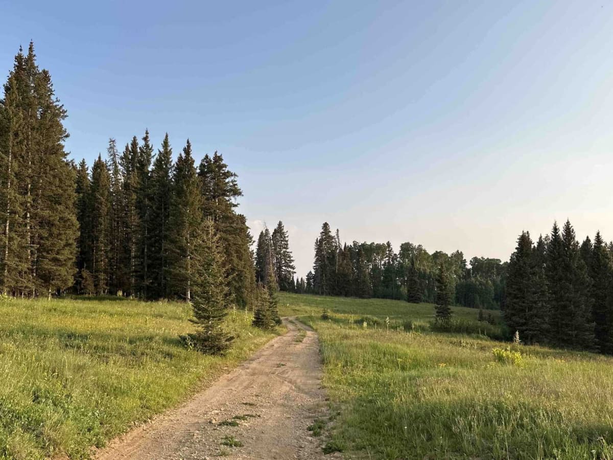
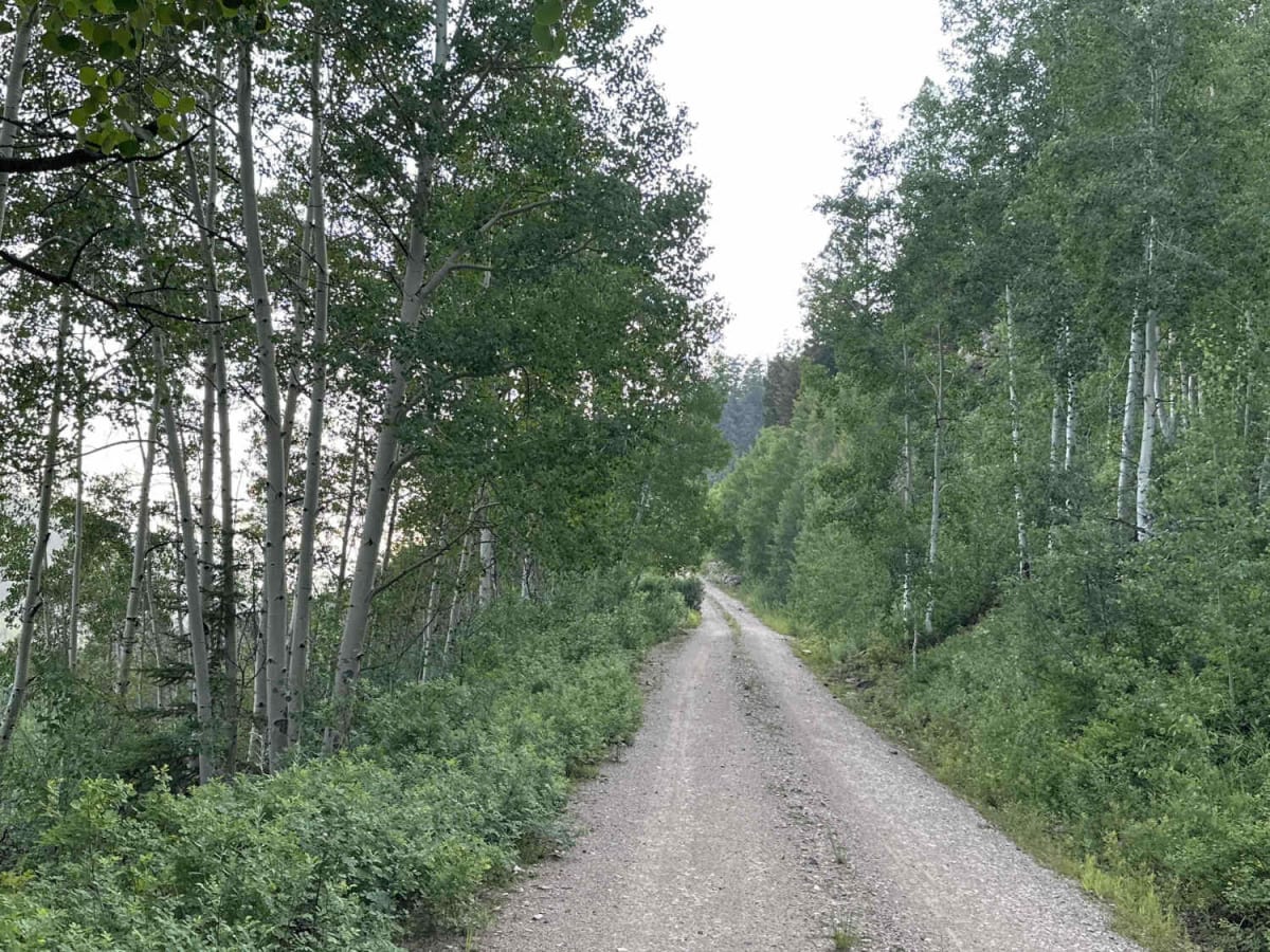
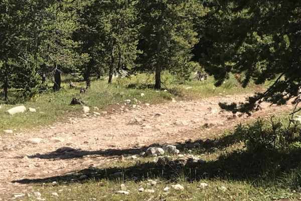
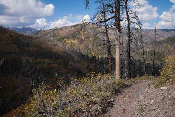
Missionary Ridge Road is a scenic, high-elevation out-and-back trail offering stunning views of the mountains above Durango, Colorado. Spanning approximately 24.5 miles, this route climbs from an elevation of about 7,227 feet up to a peak of 11,032 feet, offering over 4,700 feet of cumulative elevation gain. Numerous dispersed camping sites line the lower sections of the trail, providing easy access for those wishing to spend the night under the stars. As the trail ascends, it winds through lush alpine meadows filled with vibrant wildflowers and abundant wildlife, including deer, elk, and the occasional moose. While the first half of the trail is a straightforward drive suitable for most high-clearance vehicles when dry, the terrain becomes progressively tighter and more rugged, eventually narrowing to just two deep ruts near the end. If recent rains have swept through the area, the final couple of miles can present challenging standing water and deep mud pits, pushing the technical rating to a 3 and requiring four-wheel drive. At just over 10,000 feet, travelers will encounter a scenic dispersed campground nestled in an alpine meadow. This trail also serves as a vital gateway to other backcountry routes, offering access to fishing at Henderson Lake and connections to the Burnt Timber Trail for an extended loop.

Photos of Missionary Ridge Road

Difficulty

This trail would be a 2 but for some of the mudholes in the last mile or so of the trail.

Technical Rating

3

Status Reports

Add Status Report
Tracie U
Jun 02, 2026
Open
Normal
Open to mile 24. Lots of downed trees that have been cut - narrow passage thru tree cuts that take a bit of maneuvering. Road has more potholes the closer you get to the top. Airing down helped a lot.
Cees van Baaren
May 01, 2026
2015 Toyota Tacoma
Temporarily Closed
Closed GateSeasonal Closure
2nd gate is still closed
yoshi Lansing
Apr 21, 2026
Temporarily Closed
Gate close
yoshi Lansing
Feb 10, 2026
Temporarily Closed
Closed Gate
Beginning of trail gate is closed
Benjamin Carrier
Dec 05, 2025
2010 Subaru Outback
Temporarily Closed
Seasonal ClosureClosed Gate
Gate is closed at the gravel pit right past Wallace lake, closed until spring for snow.
Joseba Izaguirre
Nov 22, 2025
2005 Toyota Tundra
Obstructed
Downed Tree
A tree at mile 15 has fallin across the road tried to move it got a little bit but will need a winch to get it off the road
Esther and Tom Newcomb
Sep 23, 2025
Open
Normal
Trail was wide in areas with a few pull offs. Bicyclist use this trail (be on the lookout). We entered from Rt 250 near Elkhorn Canyon. Easy trail. Be careful in the beginning, lots of private homes. Stay on the trail.
Aaron Bengard
Jul 24, 2025
Open
NormalWashboard
Great ride! First 3/4 of train is easy with a lot of washboard and potholes.. last 1/4 is a little tougher with some obstacles (medium drop offs into mud holes, larger rocks to avoid) but overall fun drive. But past the gravel pit you will want a higher clearance 4x4.
Ryan W
Jun 22, 2025
2022 Toyota Tacoma
Open
Jeremy Bassett
May 26, 2025
Temporarily Closed
Closed Gate
Benjamin Carrier
May 05, 2025
2010 Subaru Outback
Open
NormalMuddy/Wet
Lower gate is open and drivable up to the gravel pit then it’s gated. Again the road is in great condition they just graded it and re road based it. Took the side shoot up to Wallace lake and it was muddy!
Benjamin Carrier
Apr 20, 2025
2010 Subaru Outback
Temporarily Closed
Seasonal Closure
Lower lower gate is still closed
Marcus Crawford
Apr 12, 2025
Temporarily Closed
Closed Gate
Gate is closed
Benjamin Carrier
Dec 05, 2024
2010 Subaru Outback
Open
Muddy/WetSnow/Ice
Drove up to the second gate, it’s closed right above the gravel pit for the winter.

Missionary Ridge Road Trail can be accessed by the following ride types:

  • Single Track
  • 50 Inch
  • 60 Inch
  • High Clearance
  • Full Width

Missionary Ridge Road Map

The onX Offroad Difference

onX Offroad combines trail photos, descriptions, difficulty ratings, width restrictions, seasonality, and more in a user-friendly interface. Available on all devices, with offline access and full compatibility with CarPlay and Android Auto. Discover what you're missing today!

Open Trail Map