Matt Stephens
Oct 19, 2025
Open
Normal
Perfect day and the trail was great.
Colin Whitford
Sep 26, 2025
2019 Toyota Tacoma
Open
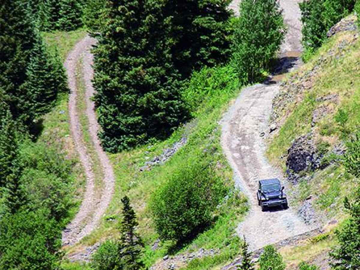
Ran this engineer pass to Ouray in a stock Tacoma TRD OR. Doable wouldn’t do it again going to Ouray. Obstacles seems better starting in Ouray. Great trail overall and definitely tested driving limits
Larry Lengner
Aug 30, 2025
Open
Normal
For a motorcycle very easy trail going up from 550. Loose rocks and some places to make sure you don’t miss shift or stall but nothing too bad. I actually think the road around engineer Amimas forks is harder than this because of the loose rocks. I enjoyed some of the
Emmett Burns
Aug 13, 2025
Open
Rough/Deteriorated
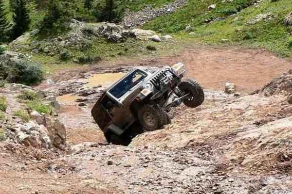
Definitely rated too low. Many large crawls in the second half, some climbs close to 4 or 5 feet tall. Plenty of off camper maneuvers. We did this in a stock 2020 Wrangler. I can be done but it’s an adventure!
Doug Zelinka
Jul 26, 2025
2024 Jeep Wrangler
Open
Muddy/WetRough/Deteriorated
Light traffic returning from reverse Poughkeepsie Gulch to Ouray.
Ziggy Max
Jul 21, 2025
2023 Ford Bronco
Open
Jackson Bradley
Jul 21, 2025
Open
Normal
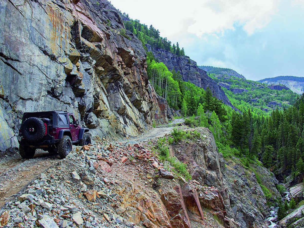
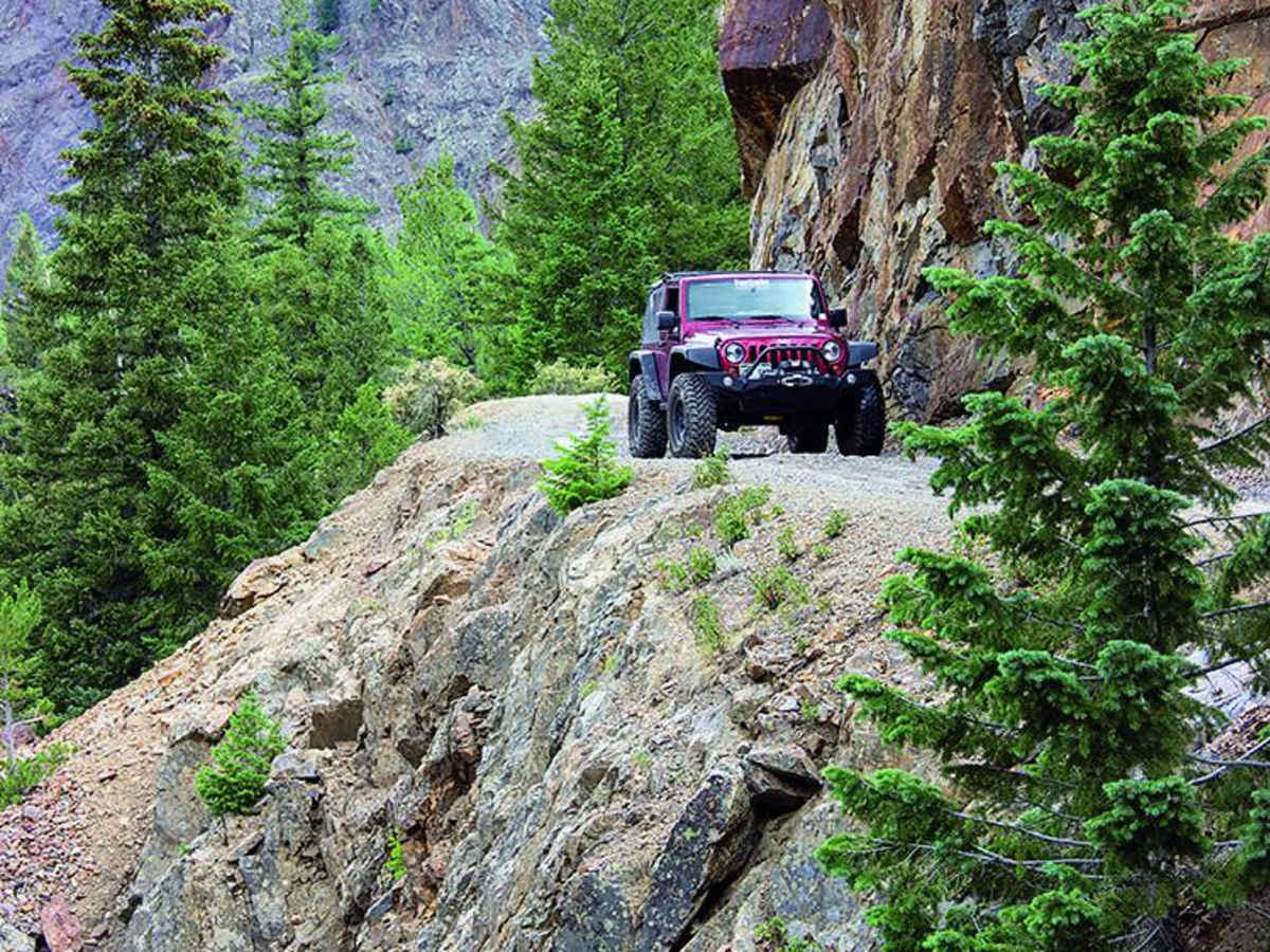
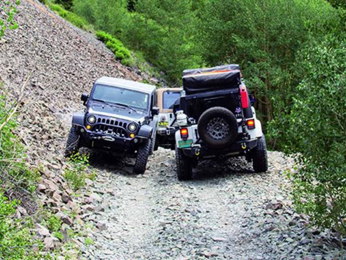
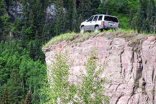
Completed in a rental Rubicon on 33s. I believe this trail is rated lower than it should be. Ground clearance is imperative on several obstacles, to the point where without a spotter and nearly perfect lines you’re going to be testing your skids. Get ready for hairpin rock ledges that you enter already off camber. Unless you are experienced, don’t do this trail if there’s been any rain. We got a quick shower and it amplified the difficulty considerably, as you have very little margin for error in some sections (you don’t want your back end sliding, as the trees or rock faces will greet you). Overall, super fun trail. That said, it’s MUCH more challenging than the other standard parts of the alpine loop. Don’t assume you can coast on from Engineer Pass into Ouray (or vice verse) without locking in for bit. Not a trail to be underestimated, but tons of fun!
Nate Clark
Jul 19, 2025
Open
Misleading rating- the top half is WAY harder than a 5. Super off-camber in shelf road/switchback conditions, numerous challenging obstacles. I ran it top to bottom in a 4Runner with 33’s and a 3” lift and hit my skid plate at three different points. We ran this after engineer pass believing it was a slight step up- it was a huge step up and quite nerve wracking. Very few points to pass safely if you encounter other vehicles. Below Poughkeepsie Gulch the trail gets much easier, it is primarily a shelf road that isn’t steep and has more pull offs to allow for passing. There were two challenging obstacles in the bottom portion of the trail.
gage p
Jul 15, 2025
Open
Rough/Deteriorated
Extremely rocky and very off camber. Did it in a stock 23 ford ranger tremor but wouldn’t do it again. Had I not had a spotter I wouldn’t have made it. Wouldn’t do it with out a minimum of 33 tires and full skids. Not sure how I didn’t break something
Derrick Hochgesang
Jun 30, 2025
Open
DustyMuddy/WetNormal
We started at 7:20am, followed one other person up and another caught up about 2/3rds of the way to the top. Maybe 5 passed us as we were going up. Coming back down, passed maybe 10-15 on our way back down as they were going up. Great weather, just a little rain shower as we reached the bottom.
Jason Gamble
Jun 25, 2025
2020 RAM 3500
Open
Did this in a crew cab long box ram 3500 with 37's. Very doable but the difficulty rating is misleading if they consider the last dollar road a 4 and mineral creek is a 5.
Austin Reid
Jun 20, 2025
Open
NormalDustyMuddy/Wet
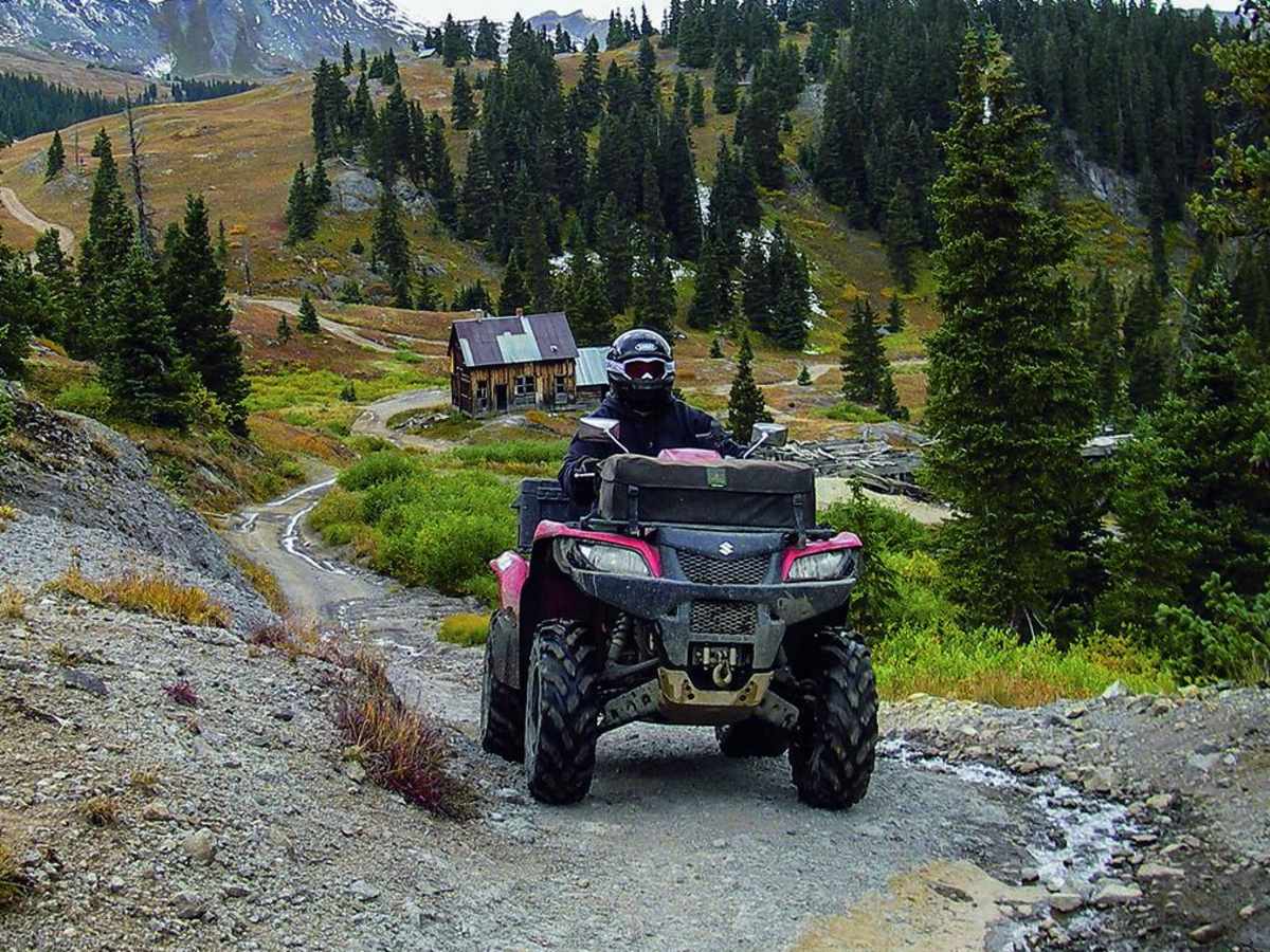
Trail condition was great with some fun technical spots. It was a little busy with bikes and utv’s but overall manageable. We came from silverton>cinnamon pass>lake city>engineer pass>mineral creek>ouray. Short wheel base makes it pretty fun. Saw a few trucks struggle with some tight turns.
WakeUpandWander WakeUpandWander
Jun 02, 2025
2004 Jeep Wrangler
Open
Muddy/Wet
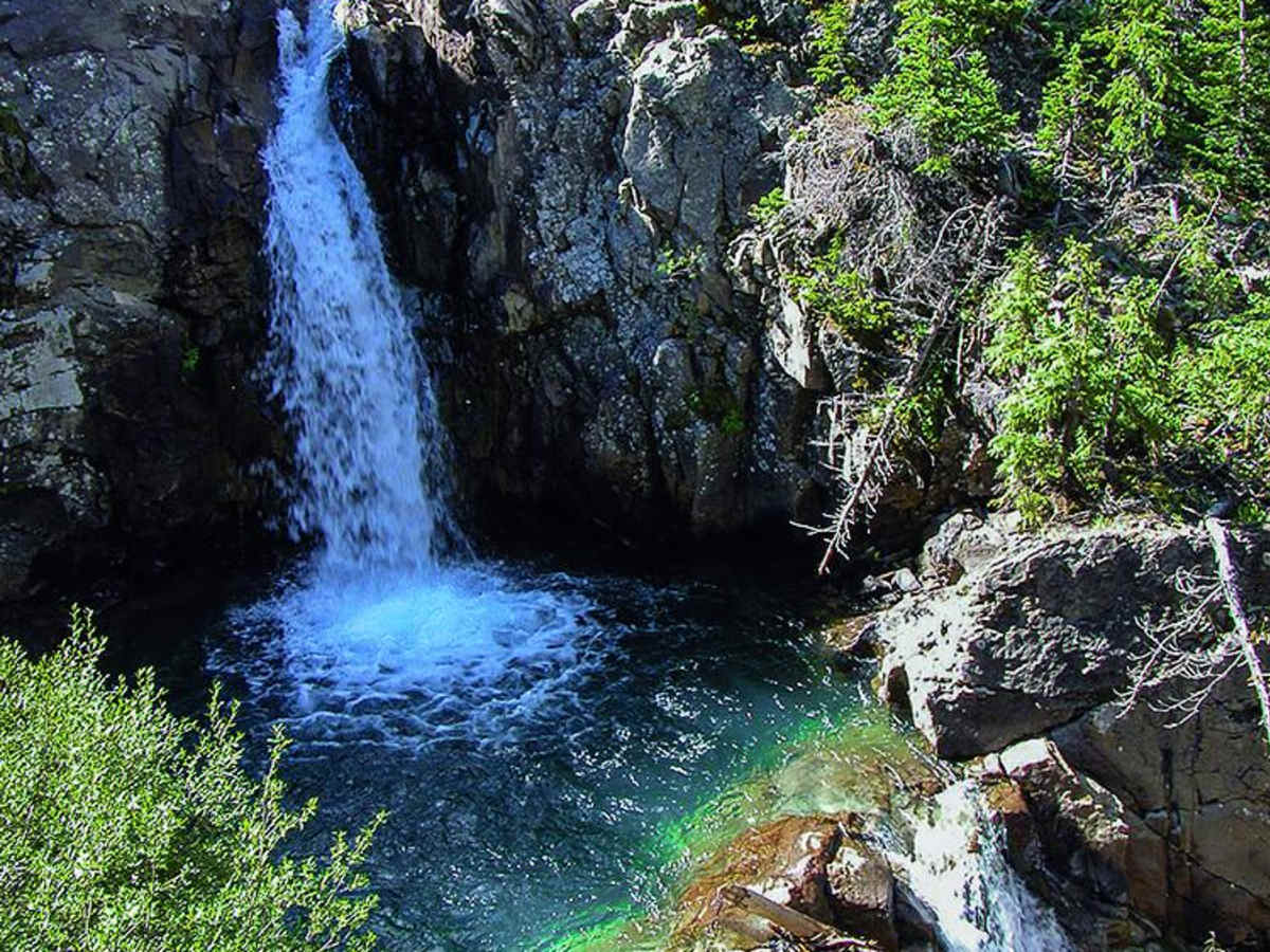
One of the best trails in the area. It’s got a little bit of everything. Fun wheeling, amazing views!
ANDY THERKILDSEN
May 31, 2025
Open
NormalMuddy/WetSnow/Ice
Great trip today there is a few technical sections. Ground clearance is a must. This is not for a beginner.. snow at high altitude, lots of running water, narrow sections
Joseph Farmer
Apr 10, 2025
2023 Subaru Outback
Temporarily Closed
Seasonal Closure
Thick snow and ice