Trail Overview
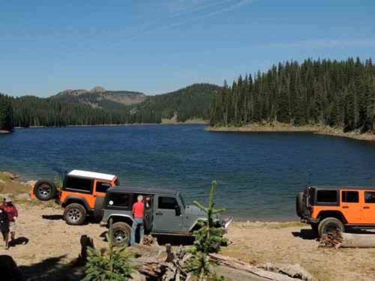
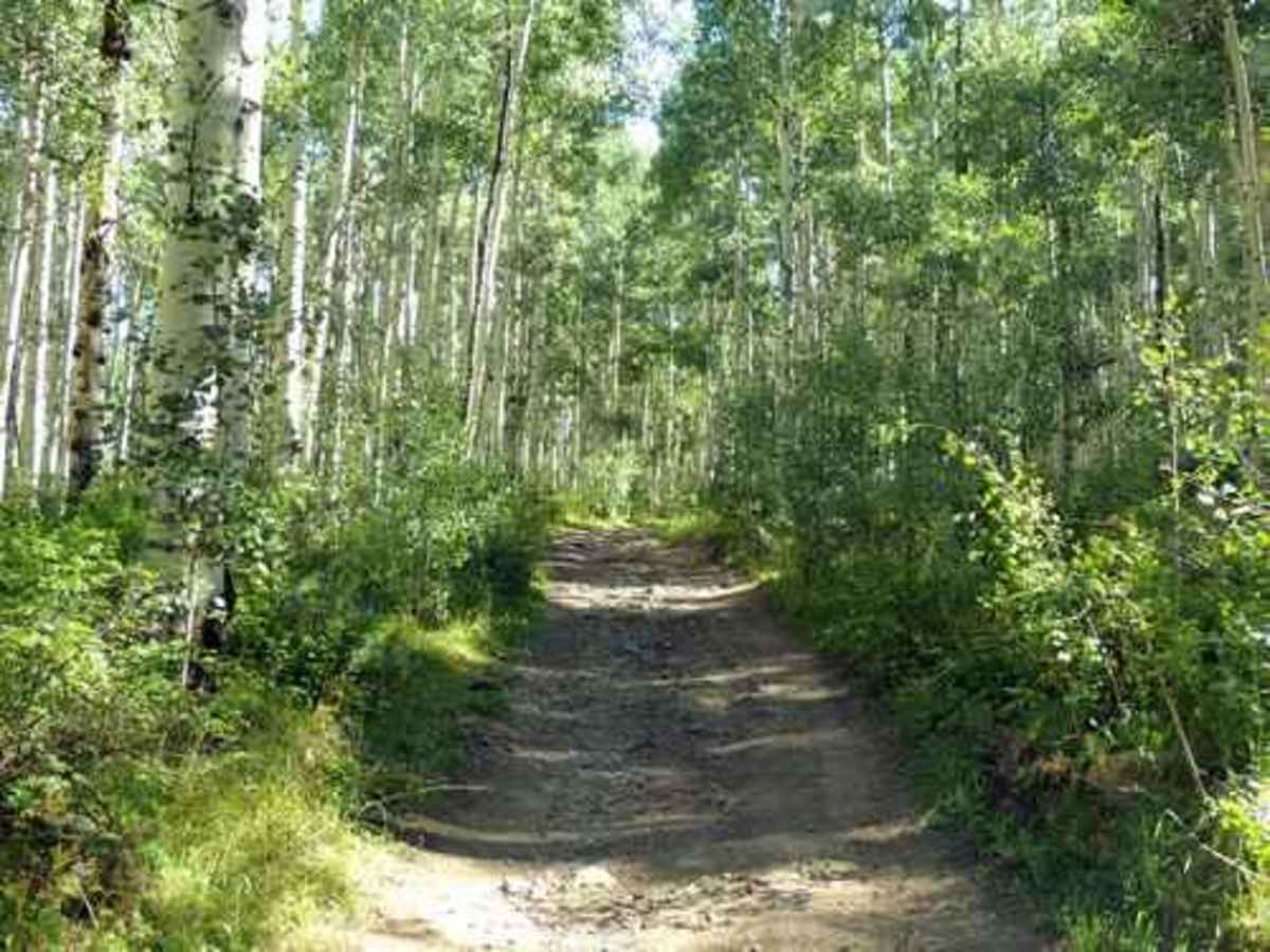
Leon Lake is an exceptional point-to-point journey for moderately experienced offroaders seeking stunning high-alpine lake views and scenic aspen groves in Western Colorado. Extending approximately 30 miles from Highway 65 on the south near Cedaredge to Road 330 on the north near Vega Reservoir, this trail climbs from 6,970 feet to a peak elevation of 10,483 feet on the Grand Mesa. It features a technical rating of 4, presenting a rocky and bumpy route that requires high-clearance, four-wheel-drive vehicles or SxSs to navigate successfully. While there are no large or highly technical obstacles, the center portion is particularly rough, and several potential mud holes along the way can become highly challenging during wet periods.
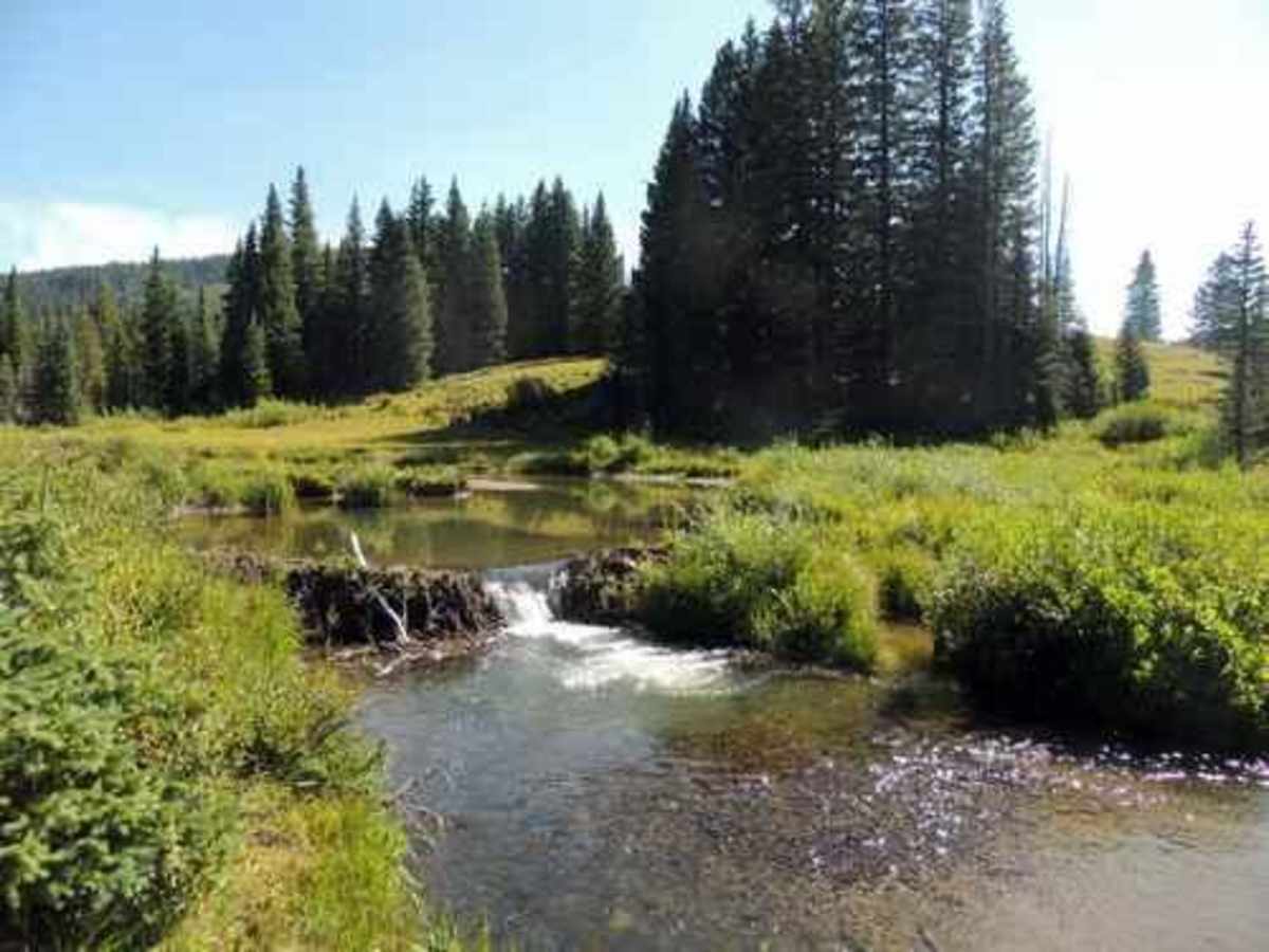
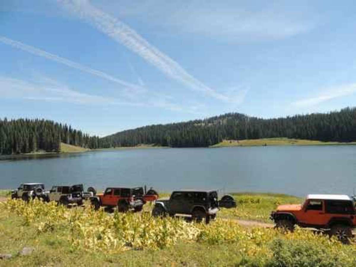
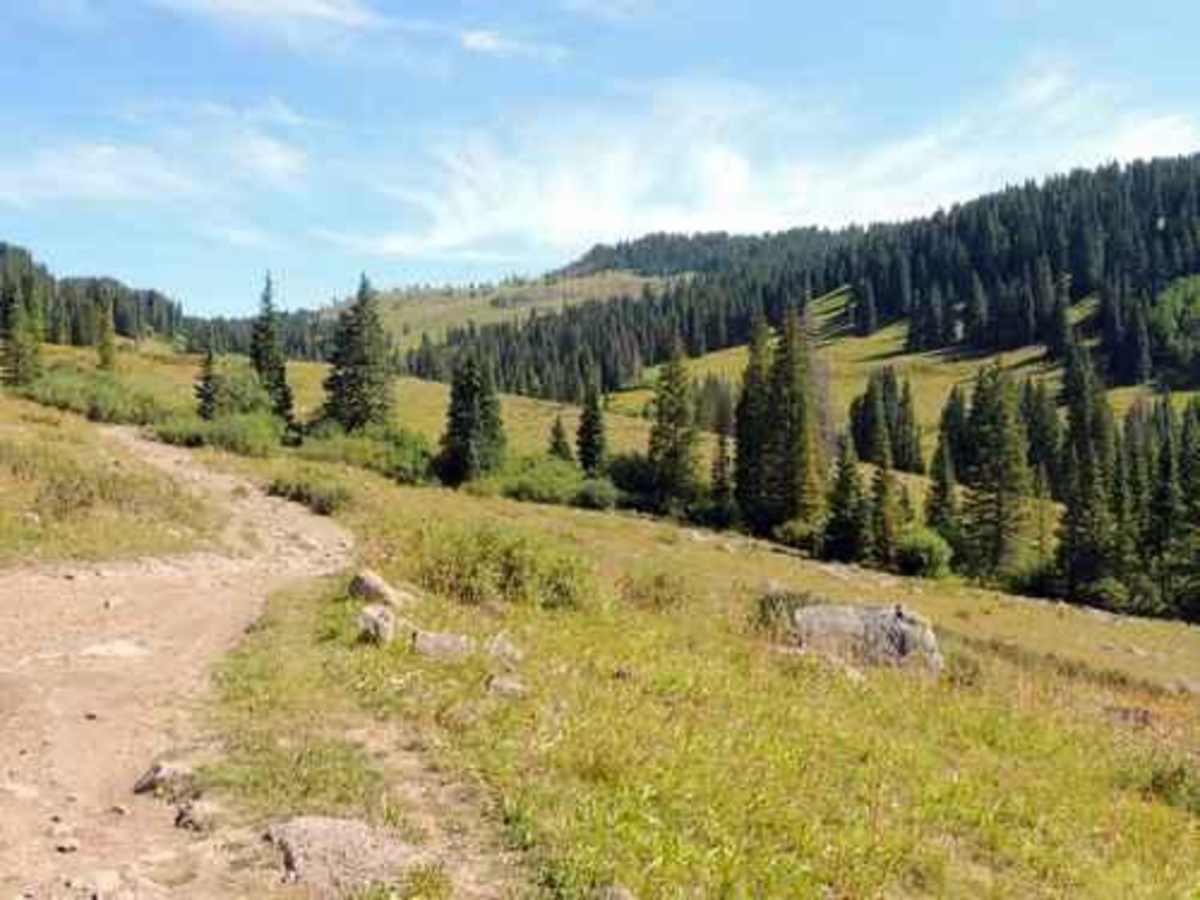
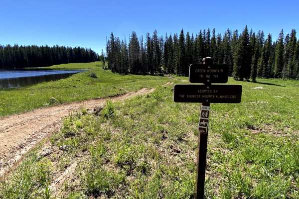
The route winds through gorgeous scenery, highlighted by massive stands of aspen on both the northern and southern sections and open alpine parks in the center. Travelers will pass notable waypoints such as Marcott Creek, where beaver dams are visible, and Colby Horse Park Reservoir, located just north of the iconic Leon Lake itself. The trail typically takes five to six hours to complete, factoring in time for airing down tires, navigating the uneven terrain, and stopping to appreciate the scenery. It is highly recommended to tackle this route in late summer, such as August, when the ground is dry, as wet conditions can quickly turn the dirt sections into problematic mud hazards.

 Offroad