Leadville Southeast

Total Miles 27.9
Technical Rating
4 Moderate
Best Time Summer, Fall
Trail Type Full-Width Road
Accessible By
Open Trail Map

Trail Overview

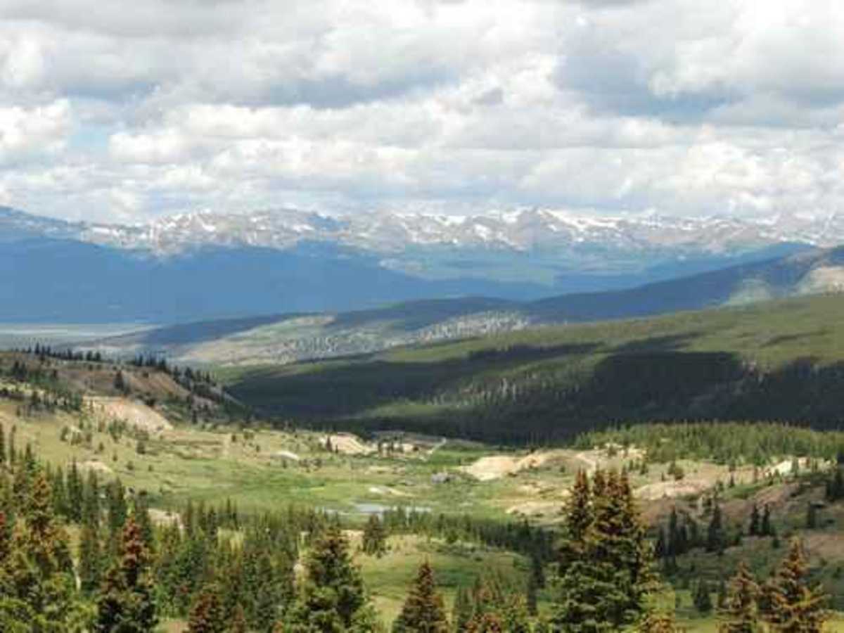
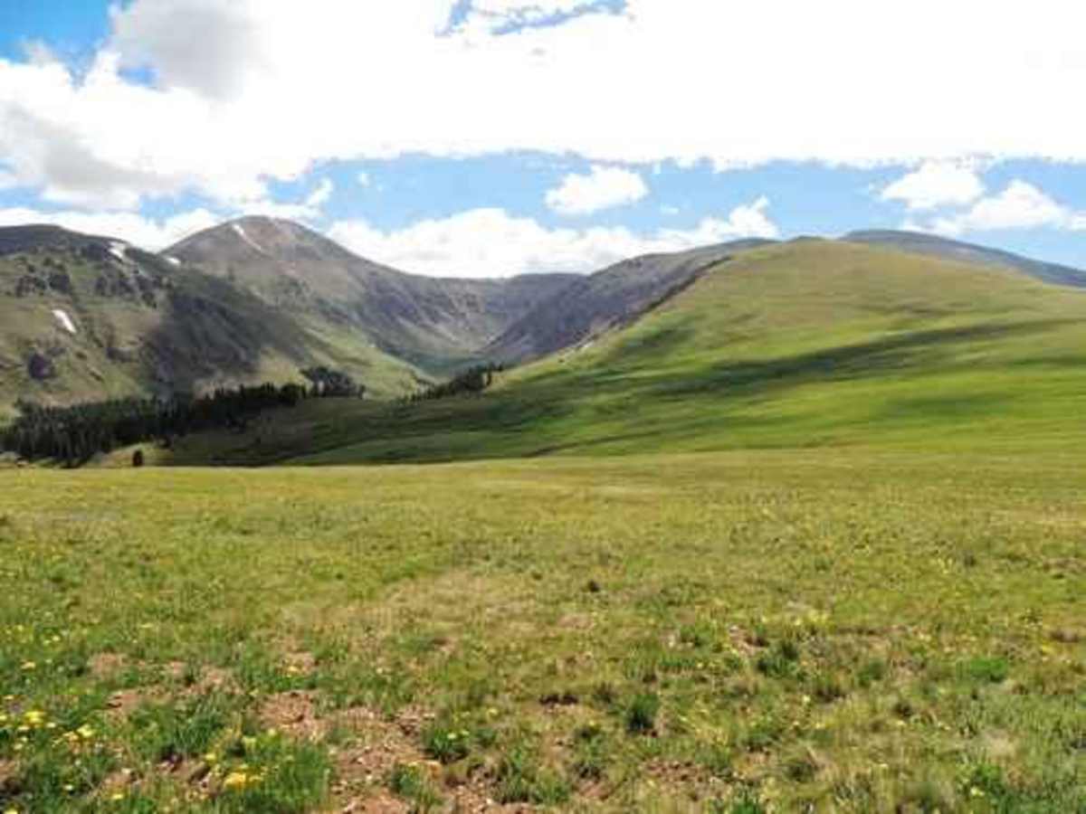
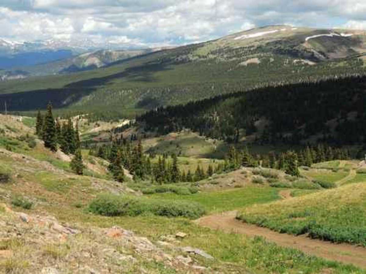
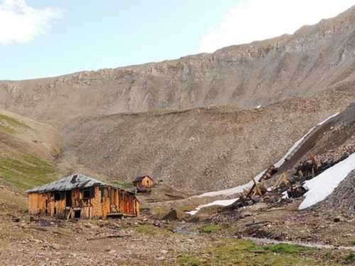
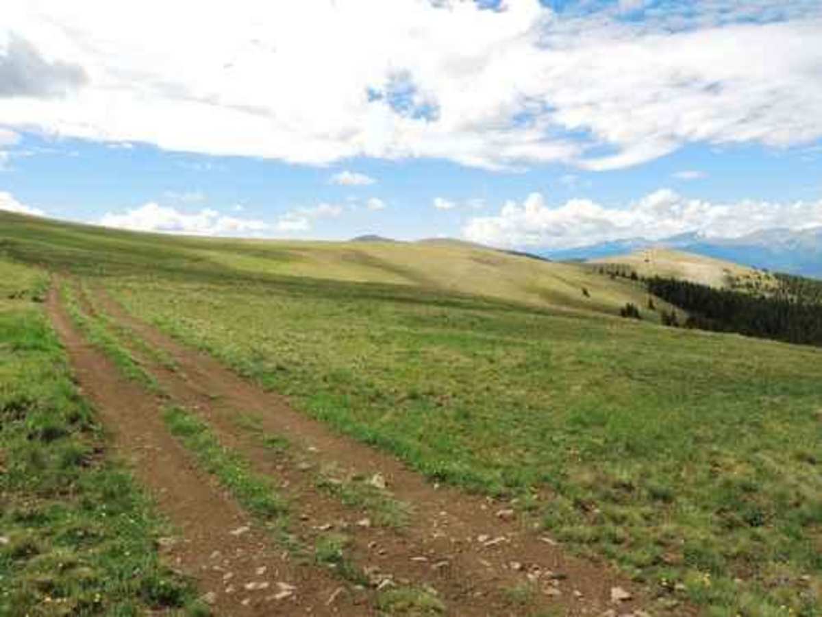
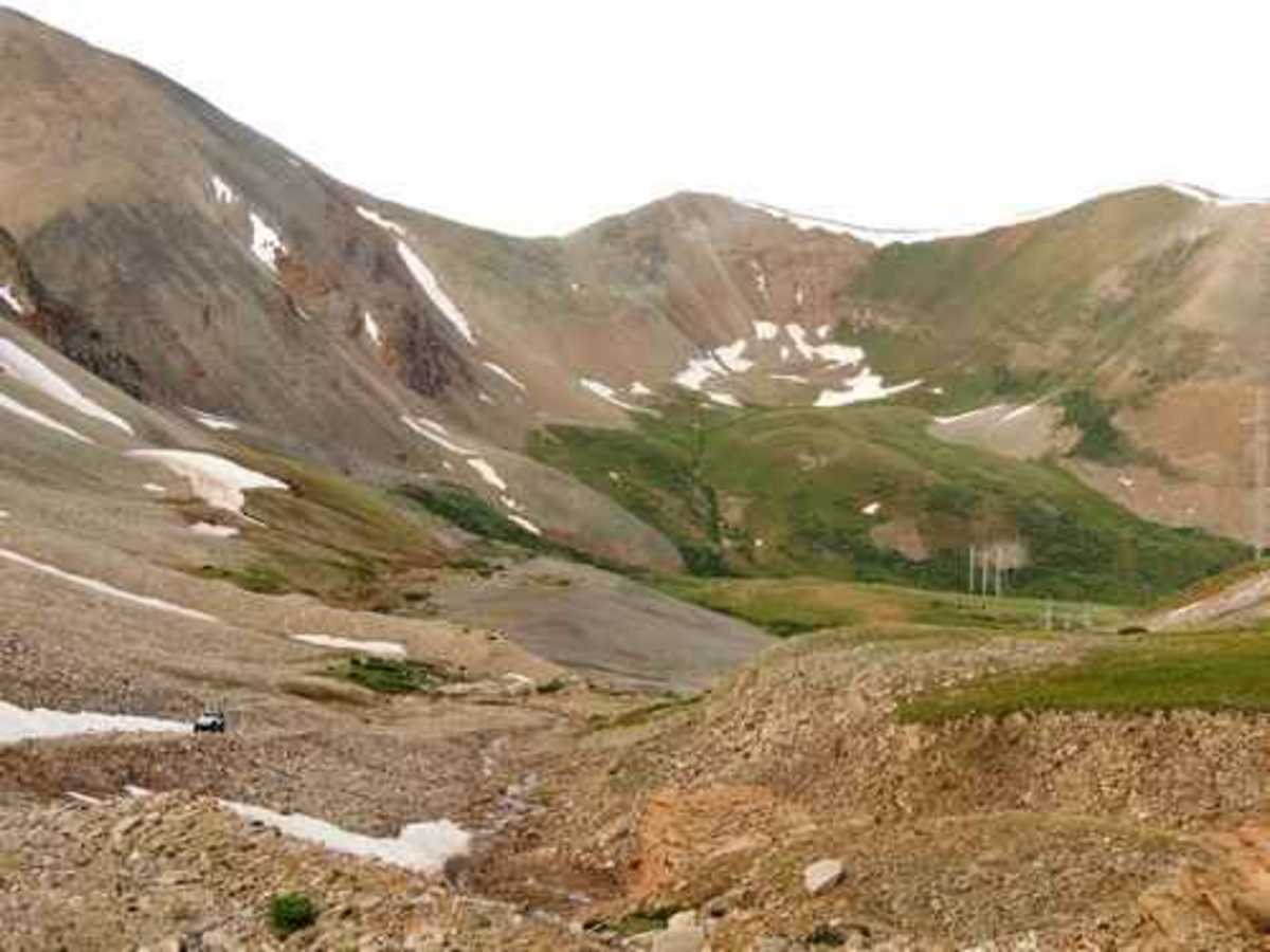
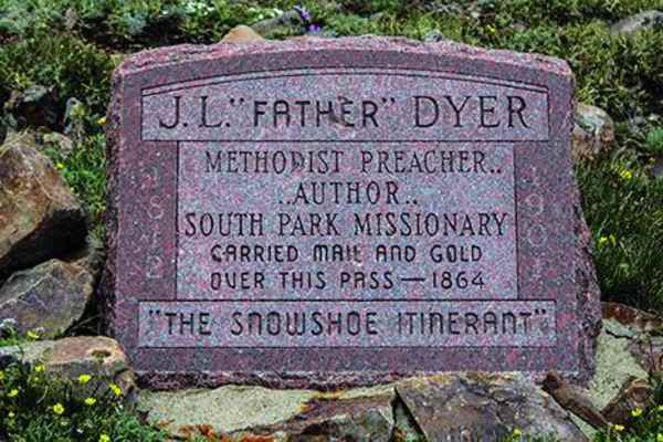
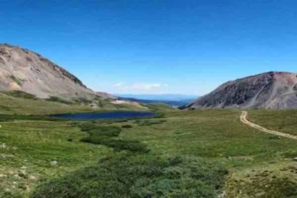
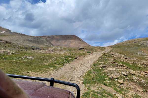
This is a fantastic day of Jeeping southeast of Leadville! You will visit part of the historic mining area above Leadville, view numerous old mine buildings, experience two areas of high alpine Jeeping and pass by Empire Reservoir. Start on the Mosquito Pass Road above Leadville. This Jeep trail will take you by a portion of the mines and buildings in the South Evans Gulch mining area. There are many more areas to explore at another time. Look over the area then head up Alps Gulch to the saddle between Ball Mountain and East Ball Mountain. Leave the saddle and pass by a bunch of mines on your way to Iowa Gulch. There will be a short stretch of paved road. This leads back to Leadville and could be used to divide this run into two trips if desired. Iowa Gulch looks like a long in-and-out road on the map but don't let that worry you. All but the last half mile is a (rough) passenger car road and does not take much time. Iowa Amphitheater is a beautiful spot with a road leading up to the Continental Chief Mine. The main building has walls covered with newspapers. One had a 1979 date, so that tells the age of the mine. There is quite a bit of equipment left behind. We found the chute (?) to be unusual. Go back to the paved road and follow the track to Empire Reservoir. This is a beautiful lake with Empire Amphitheater in the background. Pass through the gate and into a high alpine meadow. You are now up on Empire Hill. Enjoy the view before you drop down to the valley below.

Photos of Leadville Southeast

Difficulty

Ledges and steep loose climbs

Technical Rating

4

Status Reports

Add Status Report
William Bennett
Apr 20, 2026
Open
I took the first turn off towards the east, which is marked as an unimproved road on the app. This trail connects to the loop and I will warn you it is extremely off-camber above the tree line and steep. I did manage to get to the actual loop itself but when I tried to continue North I ran into a fairly deep section of snow. I turned around and made it back to the tree line on the loop road itself. I continued past where I joined the loop and upon reaching the tree line the trail was practically indiscernible, and due to its off camber nature of this route I was not about to attempt 1-2’ snow plowing. So while the main route itself is possibly open (I didn’t have time to check) the loop was impassable). That unimproved road is a solid 4-5 rating especially as muddy and off camber as it was. But if you’re an adrenaline junky but can wheel somewhat cautiously I’d highly recommend it.
Ronald booth
Feb 20, 2026
Open
Corey Griffiths
Aug 30, 2025
Open
Some rutted muddy spots that had me sliding a bit off my preferred line, but most of the trail was in good shape. Agreed with the 4 rating
Caleb Workman
Aug 13, 2025
Open
Sketchy in a stock f150 if you go further than the loop. I went further but wouldn’t recommend it there’s some pretty big rocks to get over
Ryan Hubbard
Aug 07, 2025
Open
Very enjoyable trail. Could be done by most stock vehicles with 4x4 (low range would be nice for some of the steep grades). The mines along the entire trail, especially the north side made this trail unique. Didn’t do the loop, just went direct to mosquito pass. If you like trails with mines this is for you.
Suzy Neu
May 31, 2025
Open
Entered from Weston Pass entrance south of Leadville. Continued on CR1a then CR1b. Made it just short of where 1b intersects Leadville Southeast, could not pass thru deep snow patch. Probably could have gone around but would have to put all four wheels off trail on downhill side. Called it a day, turned around back to 6 to Leadville.
JT L
May 20, 2025
Open
Kristian Brown
Sep 06, 2024
Open
The out and back section of this trail that goes up past the Continental Chief Mine can get a little tricky due to the huge loose rocks shifting around. Other than that, trail seems to be in pretty good shape
Michael Hines
Jul 18, 2024
Open
Trail is open. The chain is on the gate but there is no lock on it. Took the trail over to the mining district and back to Leadville. No locked gates.
Justin Morgan
Jul 14, 2024
Open
County road clearly marked, but gate is chained and locked.
Michael Hines
Jun 26, 2024
Open
Branson Tefertiller
Jun 17, 2024
Open
Snow obstructed approx 7.5 miles into trail from the south entrance

Leadville Southeast Trail can be accessed by the following ride types:

  • Single Track
  • 50 Inch
  • 60 Inch
  • High Clearance
  • Full Width

Leadville Southeast Map

The onX Offroad Difference

onX Offroad combines trail photos, descriptions, difficulty ratings, width restrictions, seasonality, and more in a user-friendly interface. Available on all devices, with offline access and full compatibility with CarPlay and Android Auto. Discover what you're missing today!

Open Trail Map