Trail Overview
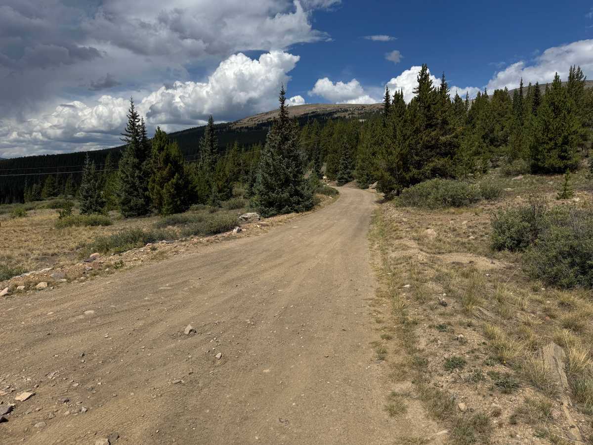
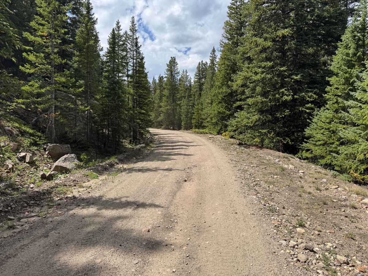
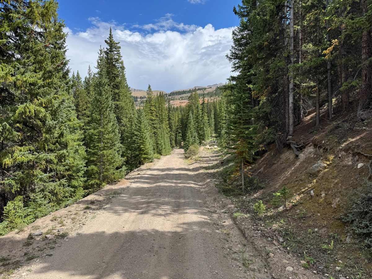
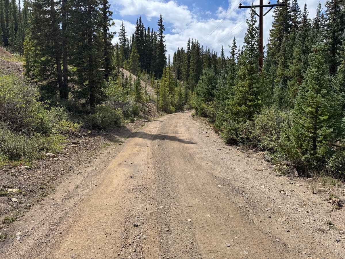
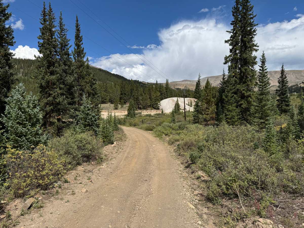
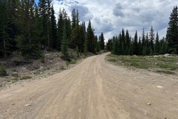
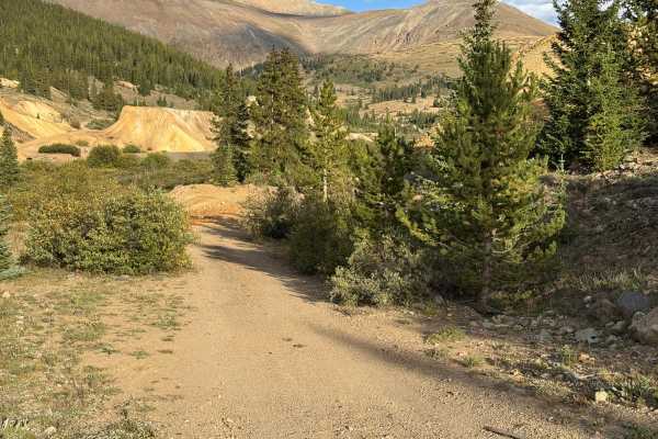
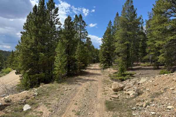
This route travels along the historic Stumptown townsite and through the surrounding Leadville Mining District, where numerous tailings piles, old mine workings, and remnants of historic structures can be seen along the way. The road is primarily a maintained gravel and dirt surface with relatively smooth stretches and scattered loose rock. Much of the route winds through dense stands of spruce, fir, and pine, with lower shrubs and grasses lining the road, while occasional openings provide views across the surrounding mountains and historic mining landscape. Large tailings piles are visible throughout the area and provide a reminder of the extensive mining that once occurred here.
Difficulty
This is primarily a maintained gravel and dirt road with a mostly smooth surface and scattered loose rock. Some sections become narrower and slightly rougher, with shallow dips, whoops, uneven surfaces, and mild off-camber areas, but there are no significant technical obstacles visible along the route.
History
Leadville's surrounding mountains are heavily connected to Colorado's mining history. Mining booms beginning in the 1860s transformed the area, with gold, silver, lead, zinc, molybdenum, and other minerals driving development over different periods. Many roads and routes throughout the mountains originated as access to mines, claims, settlements, and other industrial sites. Remnants of this history can still be found throughout the area, including mine workings, foundations, structures, and old transportation corridors. Leadville was also once home to the Unsinkable Molly Brown, who lived in the city during its mining boom and met and married J.J. Brown there. Doc Holliday also called Leadville home during the 1880s, spending time in the city's saloons and gambling halls during one of its most colorful periods. Leadville itself is recognized as a National Historic Landmark District.