La Plata Canyon/CR 124

Total Miles9.4
Technical Rating
3Easy
Best TimeSummer
Trail TypeFull-Width Road
Accessible By
Open Trail Map

Trail Overview

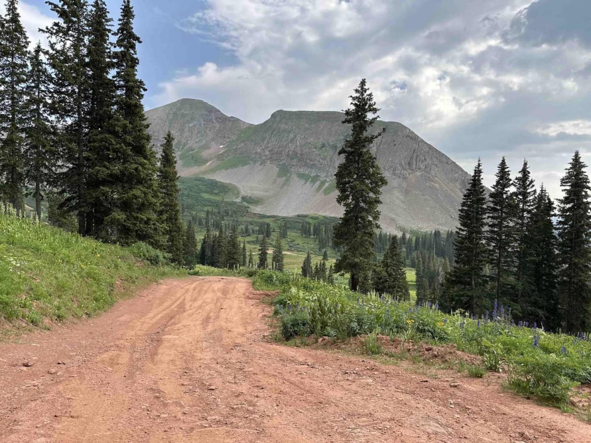
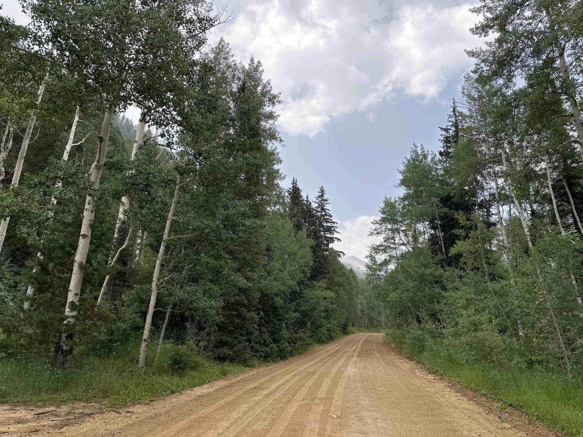
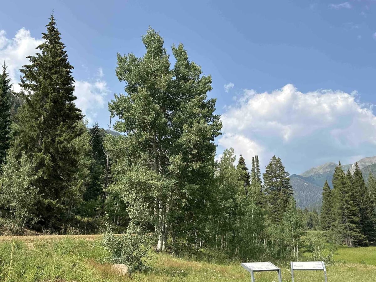
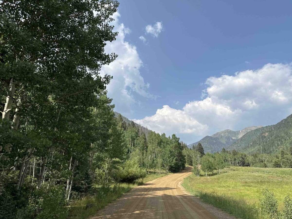
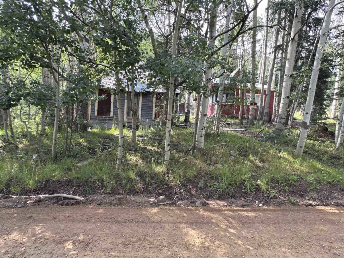
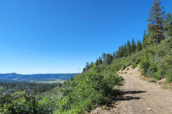
Most of this trail is fairly well-maintained dirt and gravel that winds along the La Plata river, though towards the end the Pa Plata headwaters run across the trail for a final ascent above timberline with some fairly steep grades and exposed rock. The trail increases almost 3,000 feet in elevation, ending at the Sliderock and Highline portions of the Colorado trail trailhead near the summit of Kennebec Pass. For most of the trail two-wheel drive is sufficient, but the "4 x 4 Recommended" sign just before the last two miles towards the pass is sage advice. Cell phone reception disappears quickly, but the popularity of the trail prevents any true isolation and the folks encountered along the way are friendly and courteous. The start of the trail is a leisurely mosey alongside the La Plata River where multiple formal and dispersed camping areas with pit toilets are tucked amongst the ponderosa pine and scrub oak. What remains of the old mining town of La Plata City can be seen on both sides of the trail before the climb continues up through abandoned mining and lumber operations. As the trail climbs the side of the canyon, forest and dispersed camping sites turn into intermittent pine forests and meadows displaying profusions of wildflowers while marmots peek out from behind rocks along the side of the road. The last mile or so of the trail is fairly open and above timberline, with breathtaking views of the jagged Colorado Rockies. The rugged beauty and multiple formal and dispersed camping areas at the bottom of the canyon attract a good number of people during the summer months; however, there are generally campsites available. Multiple OHV trails branch off of La Plata Canyon/CR 124. Many campground sites are pull-through and leave space for campers, and toy hauler parking can be found especially at the La Plata City interpretation site. Temperature drops from the bottom of the canyon to the top make dressing in layers advisable, and rain or short-lived thunderstorms are a very real possibility most afternoons that the trail is open to non-snowmobile traffic.

Photos of La Plata Canyon/CR 124

Difficulty

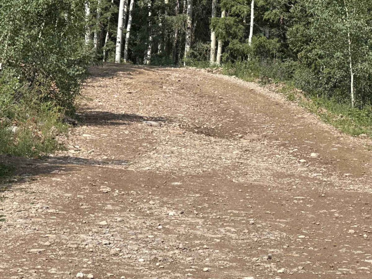
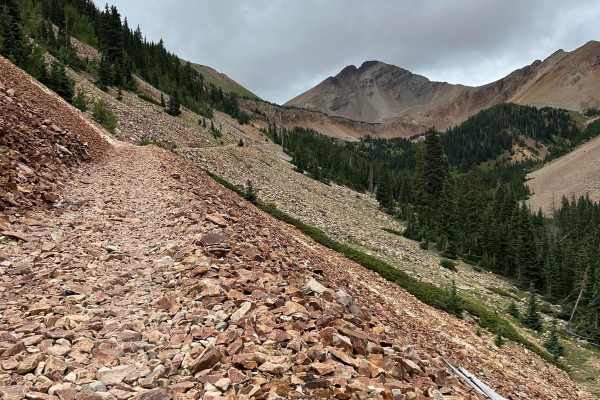
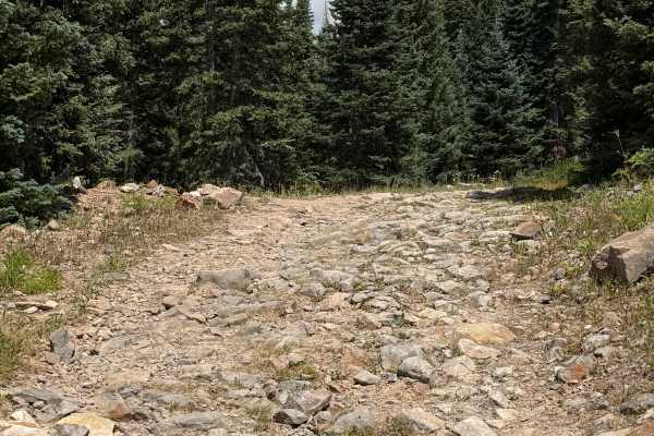
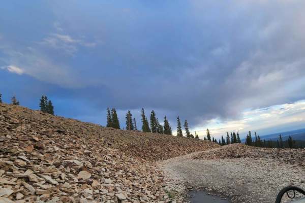
Most of this trail is an easy 1 to 2; however, the last two miles of the trail include some craggy exposed rock and loose rock over short, steep grades.

History

"La Plata" means "The silver" in Spanish, and the remains of the mining town of La Plata City can be seen heading up the canyon. A little higher up the road, look for the tall, lone river-rock chimney that once belonged to the Barbierre Hotel and which is all that remains of the mining town of Parrott City. The trail once connected mining camps and towns along the La Plata River all the way up to the Cumberland Mill the ruins of which can still be seen a thousand yards or so before the parking area at the top of the trail.

Technical Rating

3

Status Reports

Add Status Report
Matt Byczek
Jul 11, 2026
2024 Jeep Wrangler
Open
Easy the first part, the last 2 miles much more difficult. High clearance suggested. Probably a 4/10.
Aobaldo Ramirez
Jul 03, 2026
2020 Jeep Gladiator
Open
NormalDusty
Clear drive. Great views!!
Lacey Fitzgerald
Jun 25, 2026
Open
Normal
Open and clear all the way to the summit.
colonel mustard
May 25, 2026
2026 Toyota Land Cruiser
Obstructed
Open ask the way until 2/3 mile from the top where there was deep snow and no tracks that had gone through yet.
Ford Cook
May 21, 2026
Obstructed
Deep Snow
You can get almost to the top but where the stream runs across the trail and the trail makes a sharp turn there is snow from there.
Jeff Conley
May 16, 2026
Obstructed
Deep Snow
The gate is open but if you drive beyond where Subarus turn around you run into impassable snow drift. The road is not open to the top.
Benjamin Carrier
Apr 12, 2026
2010 Subaru Outback
Open
NormalDusty
Gate is open and road is regraded and in good condition, didn’t go past where it gets rough though, not enough time.
Benjamin Carrier
Jan 01, 2026
2010 Subaru Outback
Temporarily Closed
Benjamin Carrier
Dec 15, 2025
2010 Subaru Outback
Temporarily Closed
Gate is closed for the season until the spring
Benjamin Carrier
Dec 04, 2025
Open
Snow/Ice
Gate is still open and road is drivable
Kelly Doolen
Nov 02, 2025
Open
Normal
Cliff Bell
Sep 29, 2025
Open
Muddy/Wet
Micheal Mendoza
Jul 26, 2025
2020 Jeep Wrangler
Open
Normal
Its a nice, easy drive. I'm a cautious off-roader that tries to avoid breaking my daily driver, so drove slower than others and pulled over so they could pass. Took me about 3 hours round-trip. I used low range 4x4 to avoid stress on the transmission and suspension, but it wasn't absolutely necessary. I'm in a stock Wrangler JLU. Everyone I met on the route was friendly. You're never alone. Lots of camping along the route. But bears scare me, so no thanks. :) I live in Vegas. We don't have bears. At least not the four-legged kind...
Justin Miller
Jul 04, 2025
2024 Ford F-Series
Open
Normal
Wildflowers and Marmots. Stunning drive to the tippy top.
Mike Taylor
Jun 28, 2025
Permanently Closed
this is what we saw when we got up there. Disappointed.

La Plata Canyon/CR 124 Trail can be accessed by the following ride types:

  • Single Track
  • 50 Inch
  • 60 Inch
  • High Clearance
  • Full Width

La Plata Canyon/CR 124 Map

The onX Offroad Difference

onX Offroad combines trail photos, descriptions, difficulty ratings, width restrictions, seasonality, and more in a user-friendly interface. Available on all devices, with offline access and full compatibility with CarPlay and Android Auto. Discover what you're missing today!

Open Trail Map