Trail Overview
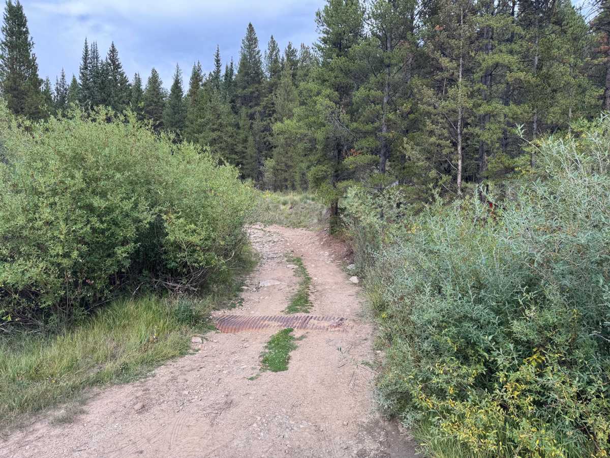
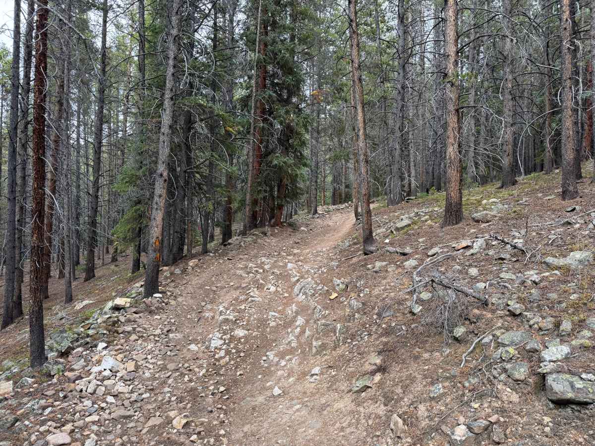
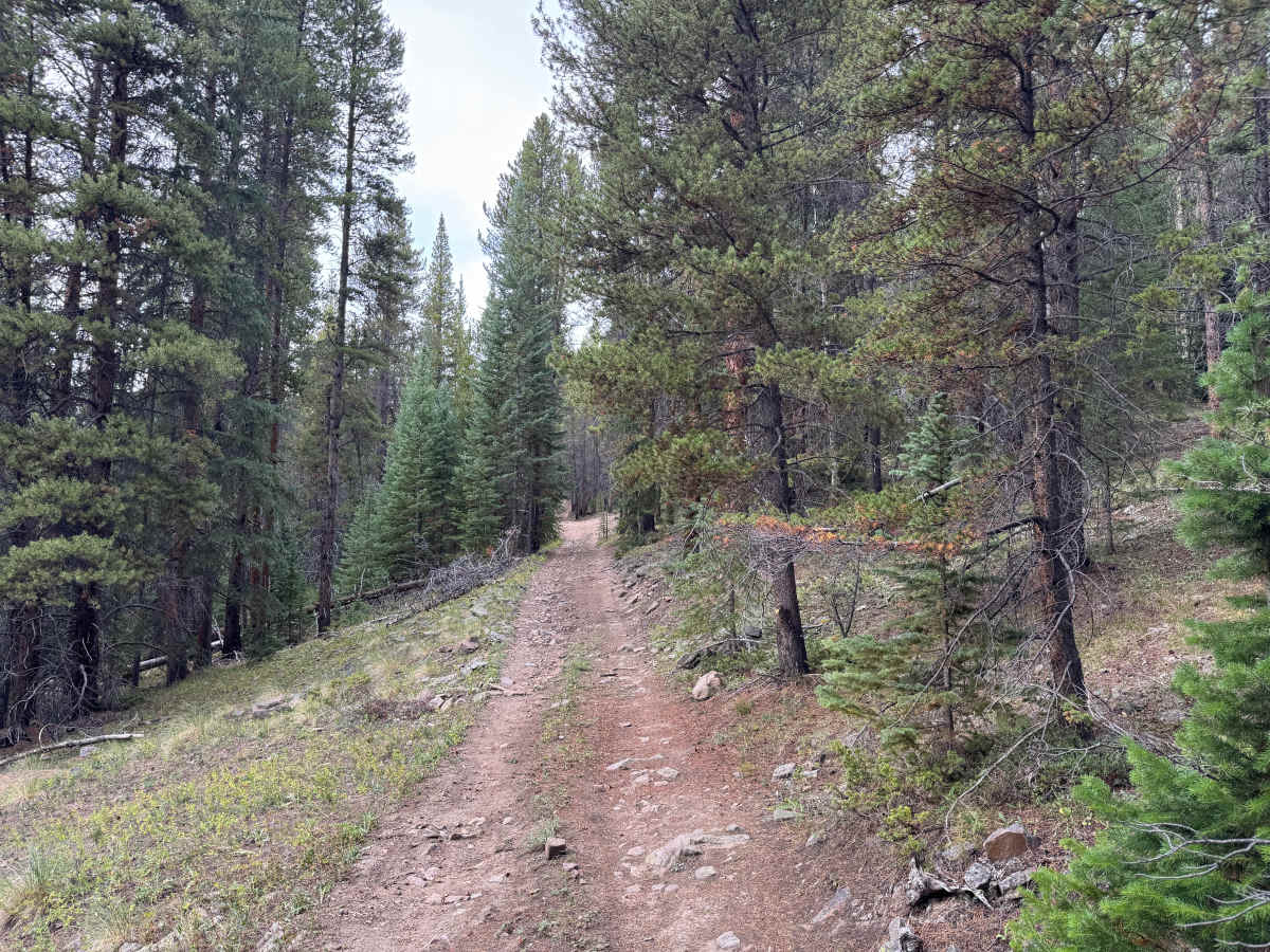
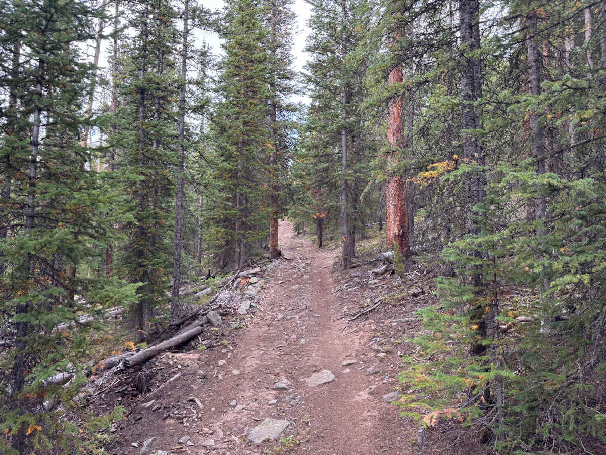
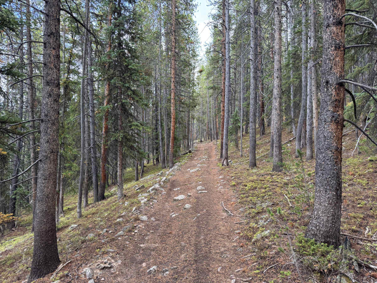
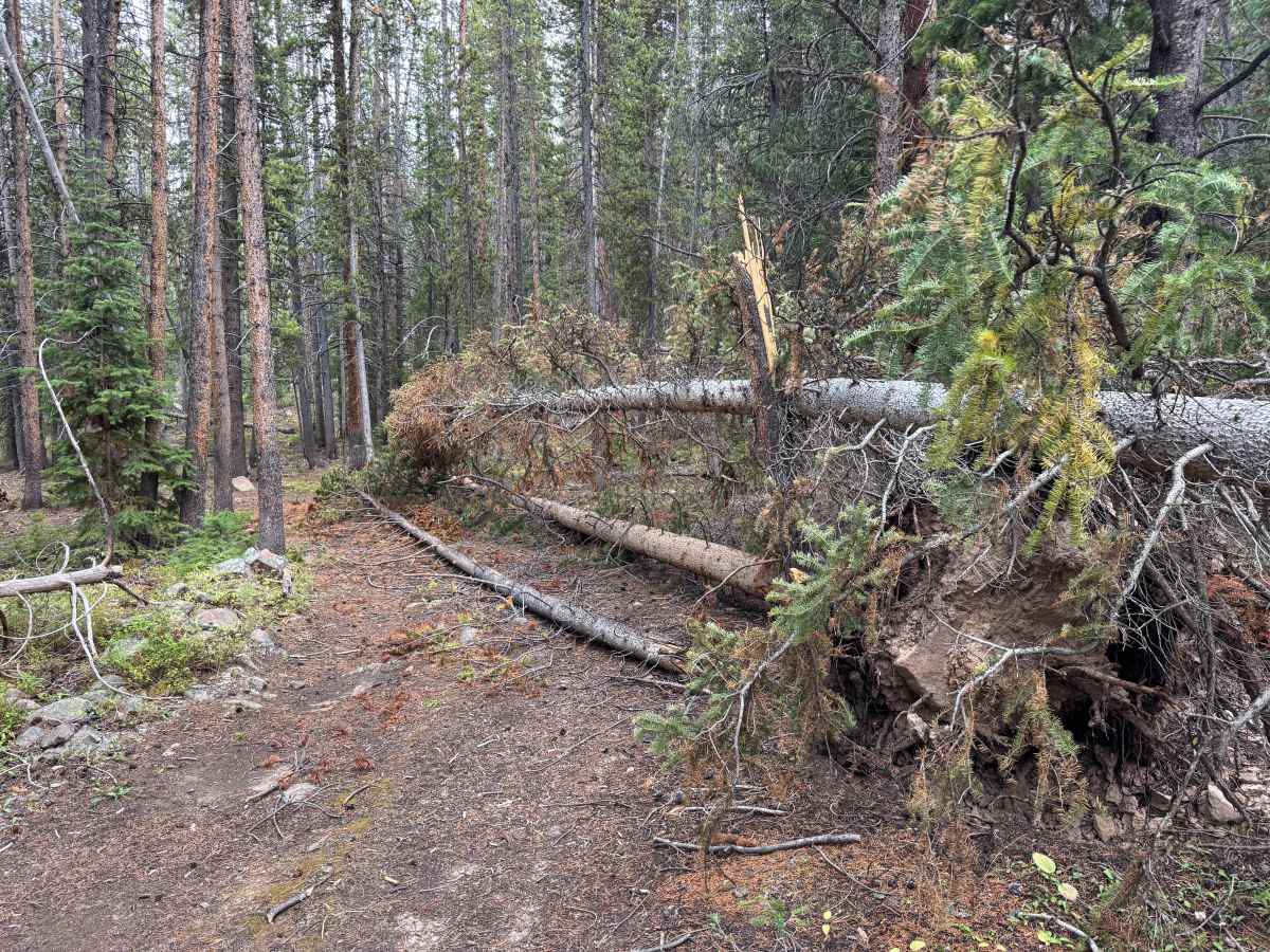
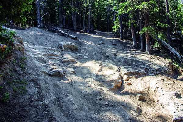
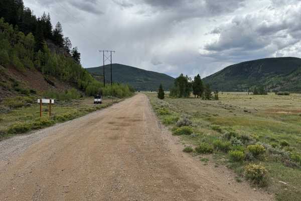
Jones Gulch Way Road is a short forest route that descends approximately 1.7 miles from around 10,659 feet to 9,825 feet, losing roughly 853 feet of elevation. The route travels almost entirely through dense timber on a narrow dirt and rocky two-track. Much of the trail consists of packed dirt mixed with scattered loose and embedded rock, with several rougher sections where exposed rock crosses the trail and requires careful tire placement. Grades are generally manageable but become steeper in places as the route descends. Vegetation and trees keep portions of the trail narrow, with limited room for vehicles to pass. Fallen trees may also occasionally create obstacles or completely block the route, as shown during this trip. Overall, the route provides a secluded forest drive with increasingly rocky terrain in several sections.
Difficulty
The route is primarily packed dirt with scattered loose and embedded rocks. Several sections become rougher with exposed rock, mild ruts, and moderate grades that may require careful tire placement. Narrow sections through the trees and changing weather conditions can increase the difficulty.
History
This area has a diverse history tied to mining, railroads, early transportation routes, and military training. Red Cliff developed during Colorado's mining era, while railroads and mountain roads were constructed through the surrounding valleys and passes to connect mining communities. Camp Hale was established during World War II as the training center for the U.S. Army's 10th Mountain Division, whose soldiers trained in the area's rugged winter mountain terrain before fighting in Europe. Remnants of mining, railroad, transportation, and military history can still be found throughout the surrounding mountains and valleys.