Johnson Basin Road

Total Miles2.5
Technical Rating
2Easy
Best TimeSpring, Summer, Fall
Trail TypeFull-Width Road
Accessible By
Open Trail Map

Trail Overview

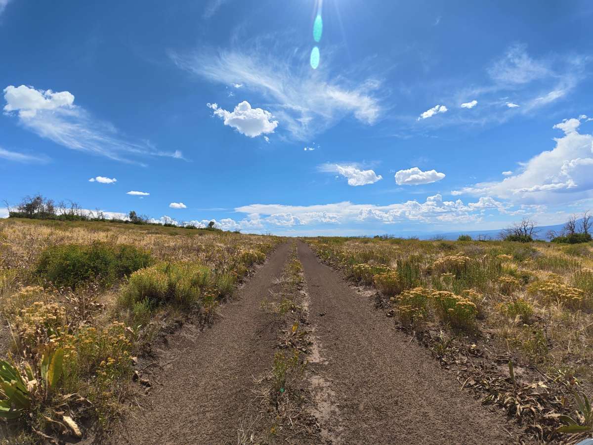
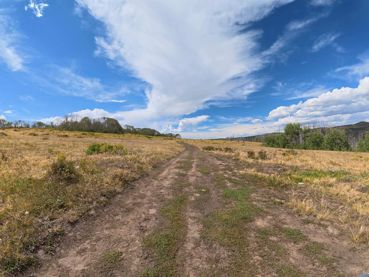
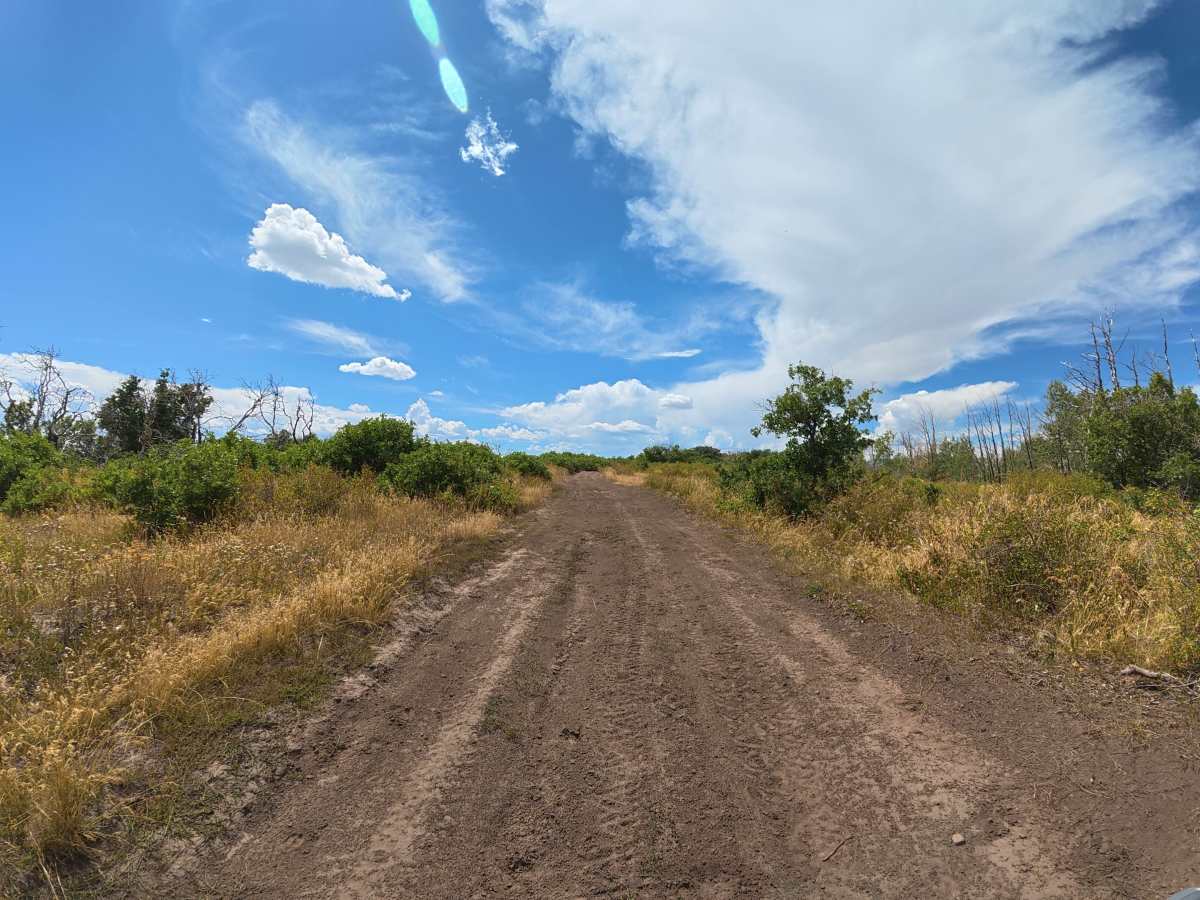
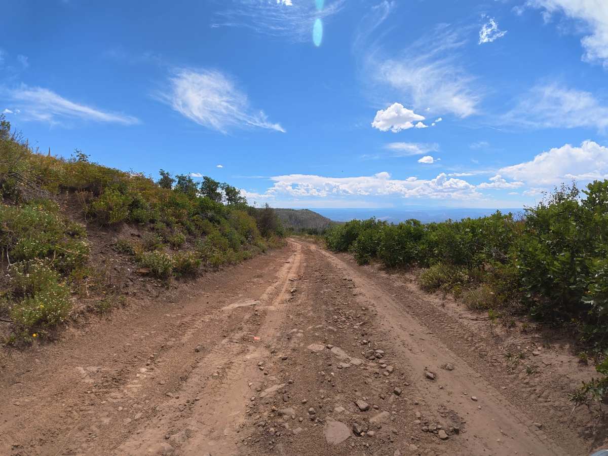
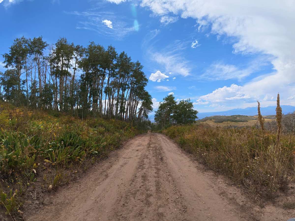
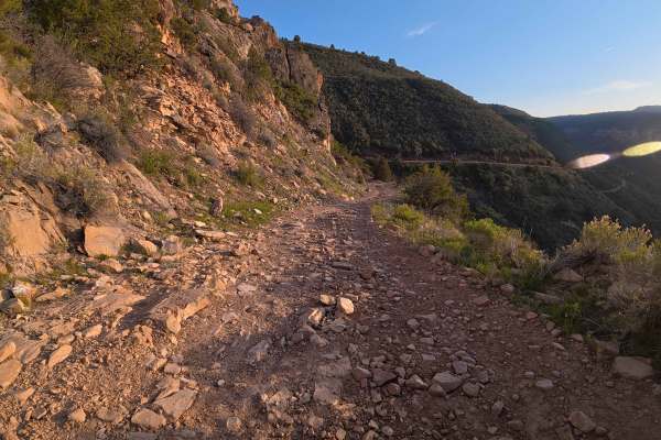
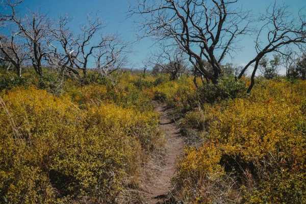
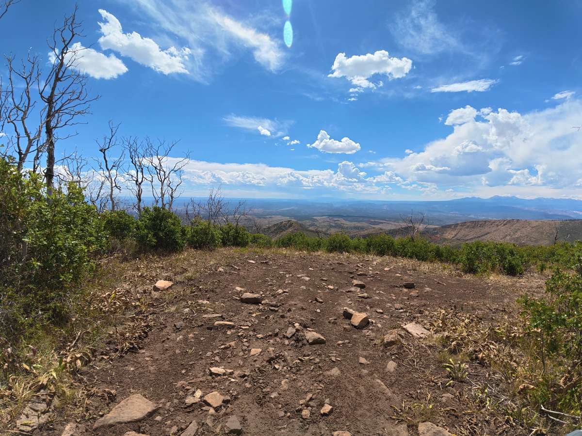
This scenic trail descends into the valley through open mountain terrain with expansive views of surrounding 14,000-foot peaks. The narrow route consists mostly of dirt and rocks with 5–6-inch ruts and limited room for vehicles to pass. At 2.5 miles, a campsite on the left can accommodate up to two vehicles and offers excellent valley views. An incredible campsite at the end provides 360-degree views of the surrounding mountains and valley. The ground is uneven, but rocks are available to help level your vehicle.

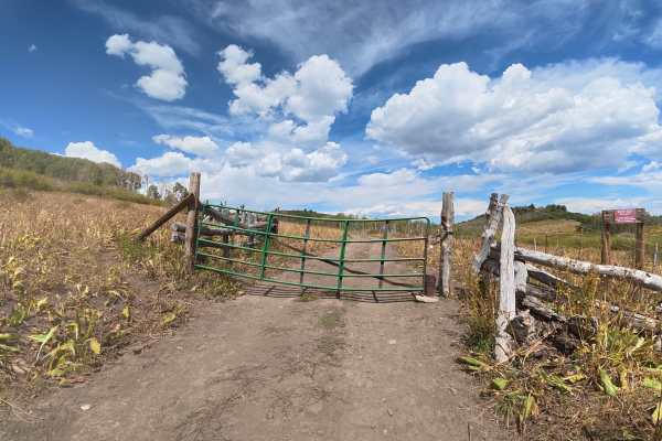
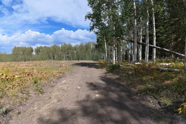
Photos of Johnson Basin Road

Difficulty

This trail is rated Level 2 because it is relatively easy with moderate ruts and rocky terrain, while the narrow route requires some caution when encountering other vehicles.

History

The Uncompahgre National Forest was established in 1905 and has a long history tied to mining, logging, ranching, and early settlement in Colorado’s San Juan Mountains. The region was especially shaped by the late-1800s mining boom, with historic towns, mines, and roads still found throughout the forest today.

Technical Rating

2

Johnson Basin Road Trail can be accessed by the following ride types:

  • Single Track
  • 50 Inch
  • 60 Inch
  • High Clearance
  • Full Width

Johnson Basin Road Map

The onX Offroad Difference

onX Offroad combines trail photos, descriptions, difficulty ratings, width restrictions, seasonality, and more in a user-friendly interface. Available on all devices, with offline access and full compatibility with CarPlay and Android Auto. Discover what you're missing today!

Open Trail Map