Trail Overview
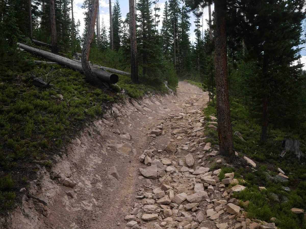
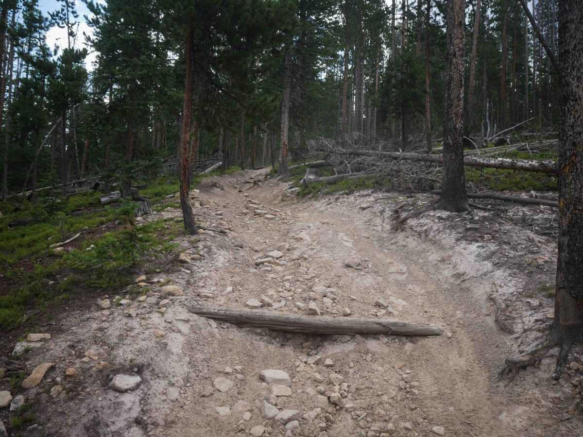
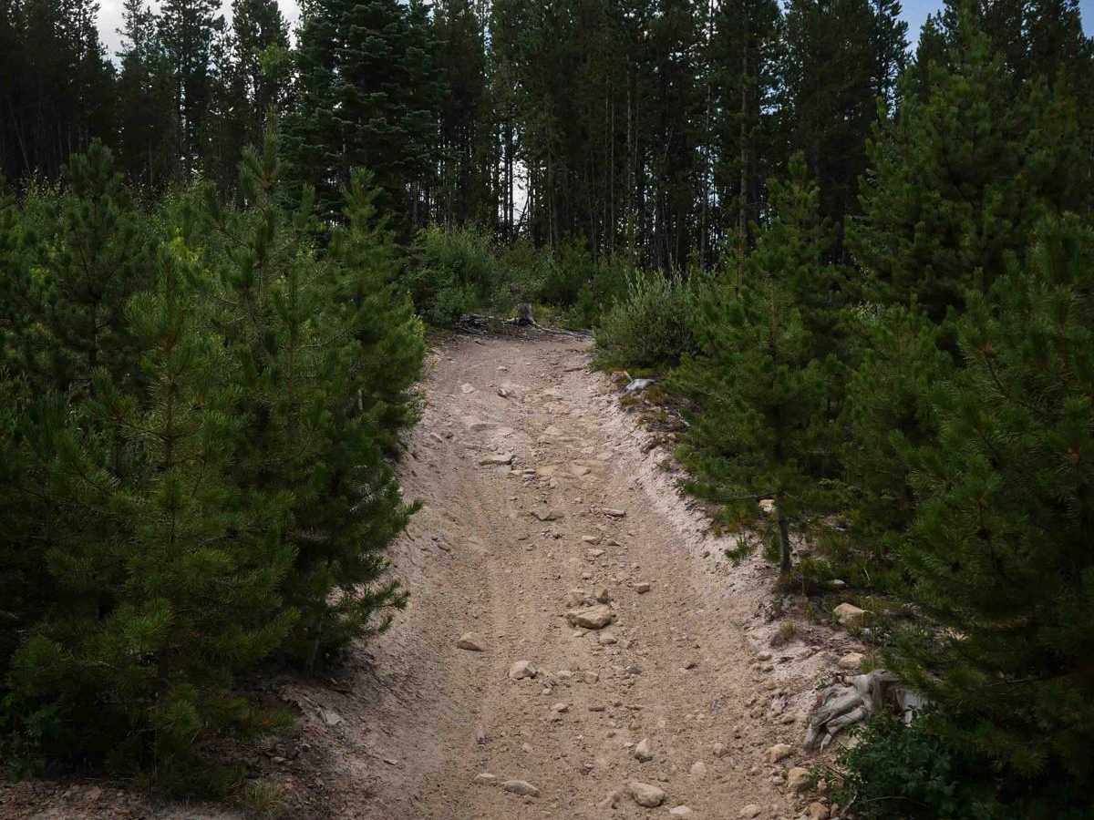
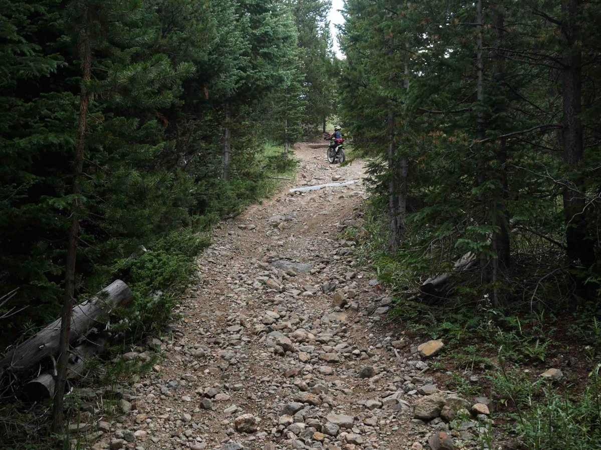
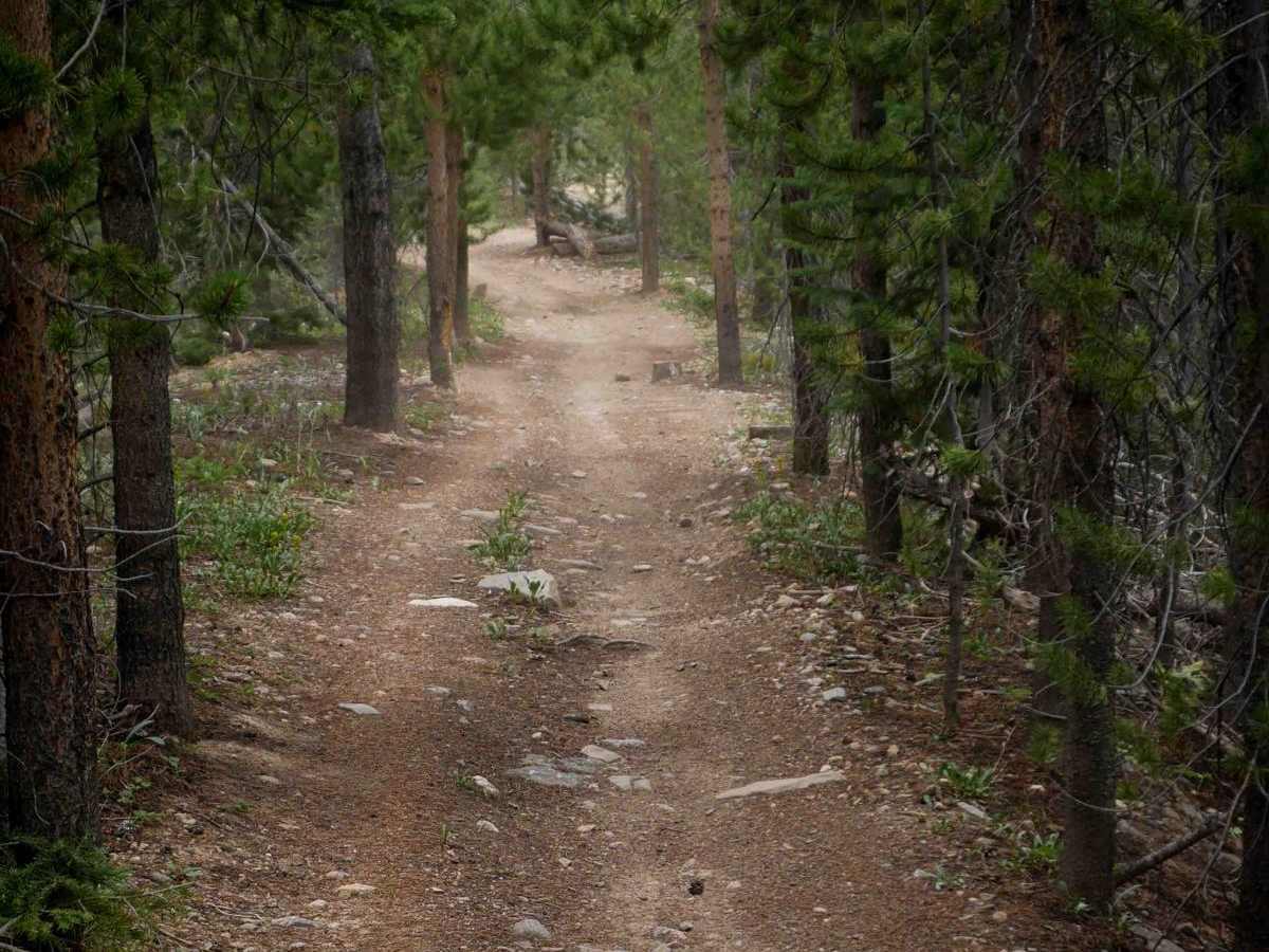
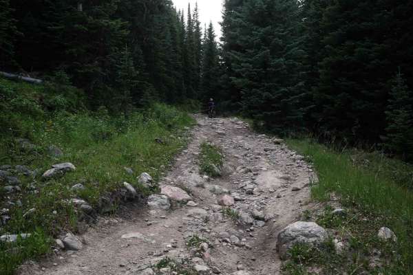
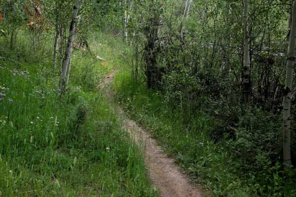
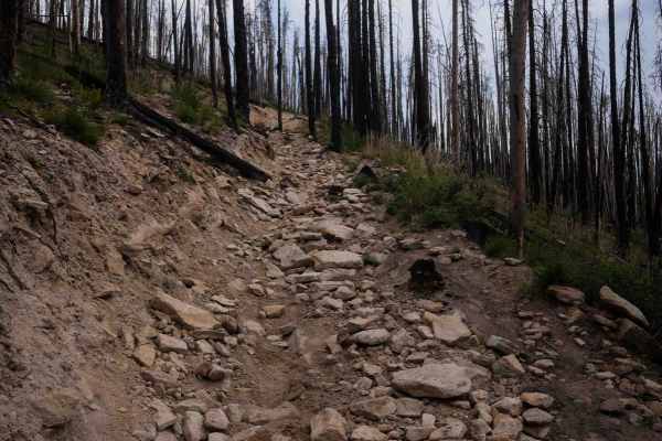
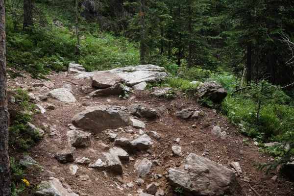
Illinois Ditch Trail is a 4.4-mile moderately difficult ATV trail that begins at its north end as a short segment of two-track from its intersection with Radial Mountain Trail. It quickly transitions onto a fast, straight road section for about 2.5 miles, which is mostly easy with shallow ruts and shelfy sections overlooking the mountainsides. After this, the trail turns left onto a much rockier two-track at a signed intersection, where the terrain becomes more technical with big loose rock, embedded cobble, and steeper curving climbs. Root bands and embedded rocks fill the path, especially in tight turns near the top of the climb. The trail then levels out and goes through a narrow ridge line corridor tightly lined by pine trees, kind of like a tunnel. This ridge is flat and straight, with one more loose, rocky climb, then flattens out again before it ends at a junction with the Illinois Pass ATV Trail.
Difficulty
This is an intermediate trail due to the loose rock, steep climbs, and tight, technical turns. While portions are smoother and more gradual, the steep rocky sections elevate the difficulty. The road portion is very easy.