High Roller

Total Miles5.6
Technical Rating
3Easy
Best TimeSpring, Summer, Fall
Trail TypeFull-Width Road
Accessible By
Open Trail Map

Trail Overview

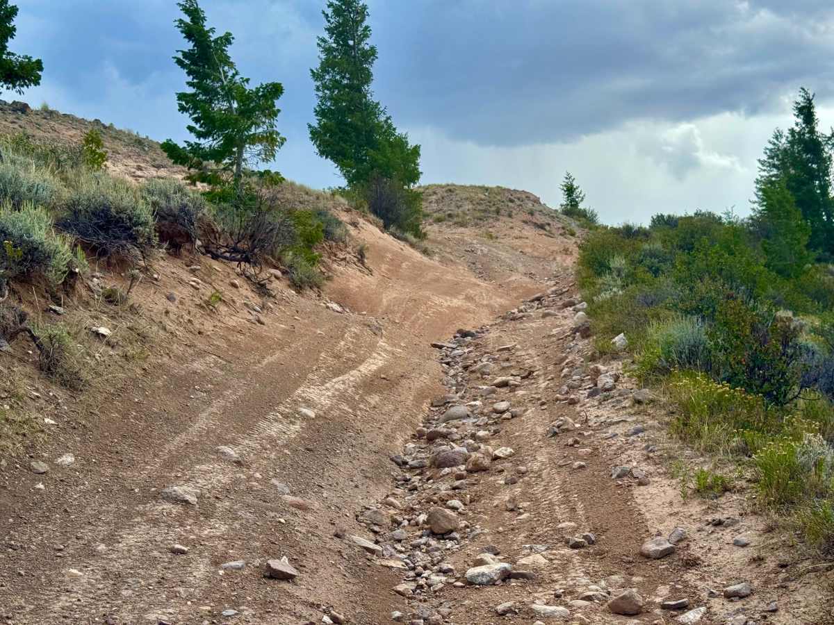
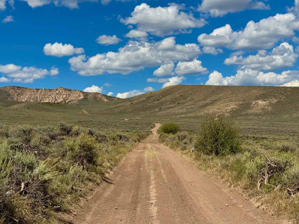
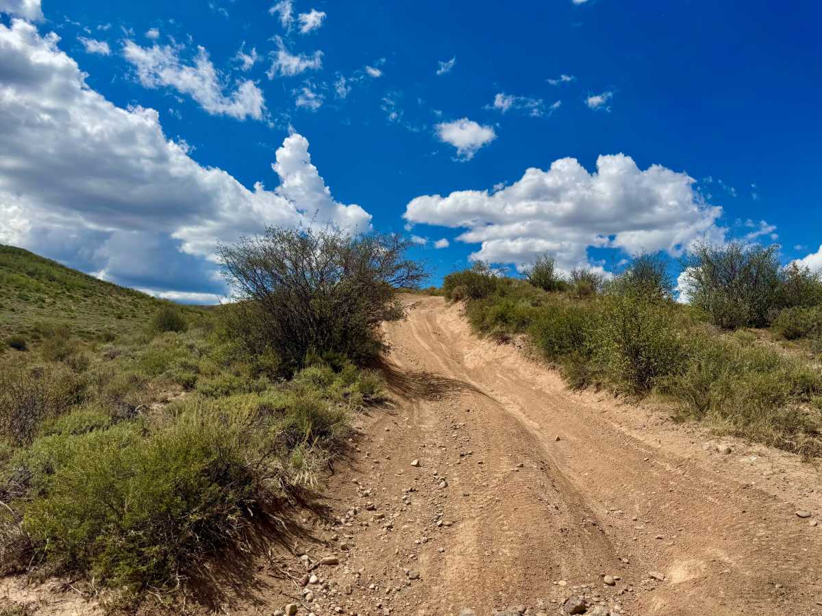
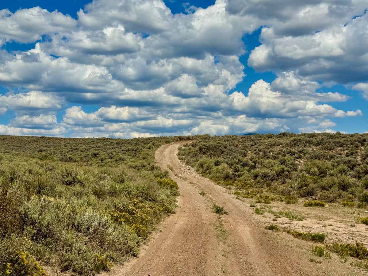
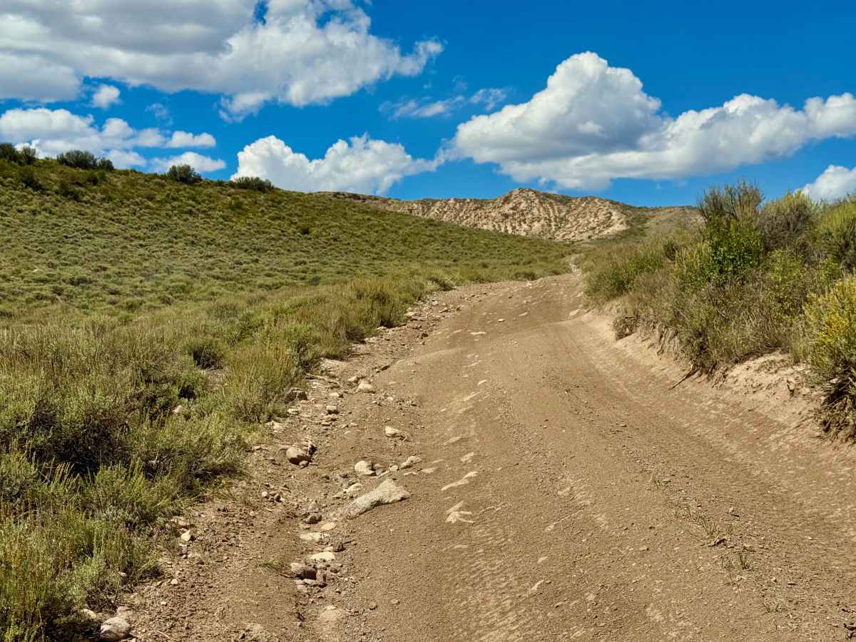
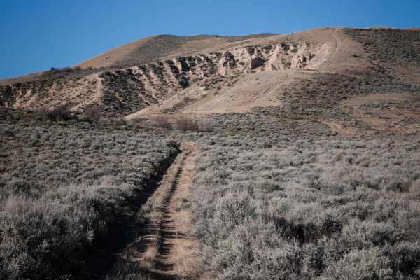
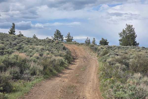
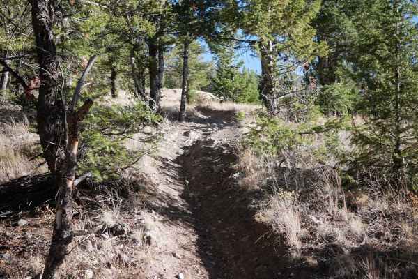
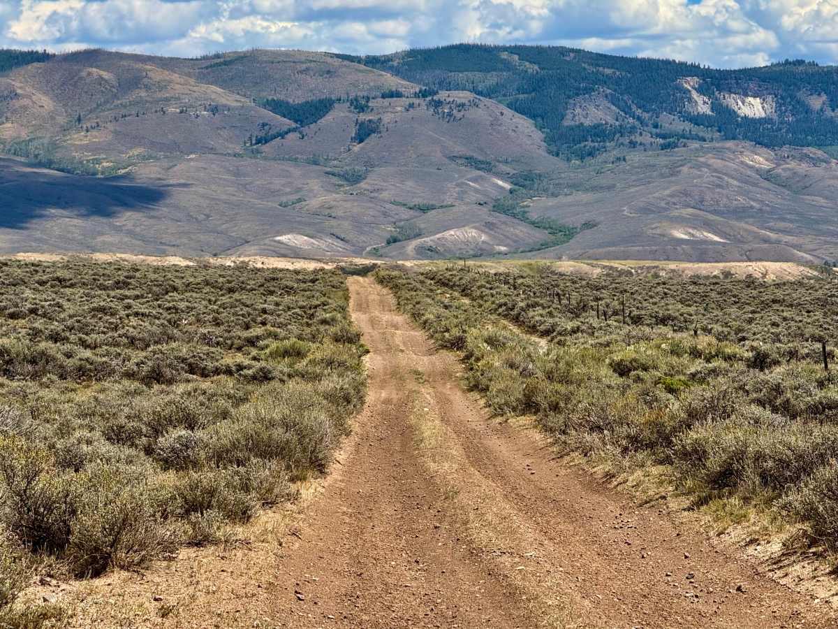
With elevations exceeding 8,300 feet and plenty of whoops, this trail lives up to its name. This fun, UTV-friendly route takes approximately 25 minutes in a performance side-by-side at a cruising pace, while larger overlanding vehicles should allow 2–4 hours. The trail ends at a road where UTVs must turn around or take one of several connecting side trails back to County Road 25. Street-legal vehicles can continue onto the dirt road. The southern end features approximately half a mile of fun, rolling whoops. Near the middle, a technical descent when traveling south to north becomes a challenging climb in the opposite direction, with loose rocks, protruding rocks, and erosion ruts. Traffic was nonexistent during a midweek visit in August, making for a quiet and enjoyable ride.

Photos of High Roller

Difficulty

This trail features off-camber sections, loose and protruding rocks, and erosion ruts. One hill climb combines all these obstacles, requiring careful tire placement and traction management.

Technical Rating

3

High Roller Trail can be accessed by the following ride types:

  • Single Track
  • 50 Inch
  • 60 Inch
  • High Clearance
  • Full Width

High Roller Map

The onX Offroad Difference

onX Offroad combines trail photos, descriptions, difficulty ratings, width restrictions, seasonality, and more in a user-friendly interface. Available on all devices, with offline access and full compatibility with CarPlay and Android Auto. Discover what you're missing today!

Open Trail Map