Hay Gulch Access

Total Miles1.6
Technical Rating
2Easy
Best TimeSpring, Summer, Fall, Winter
Trail TypeFull-Width Road
Accessible By
Open Trail Map

Trail Overview

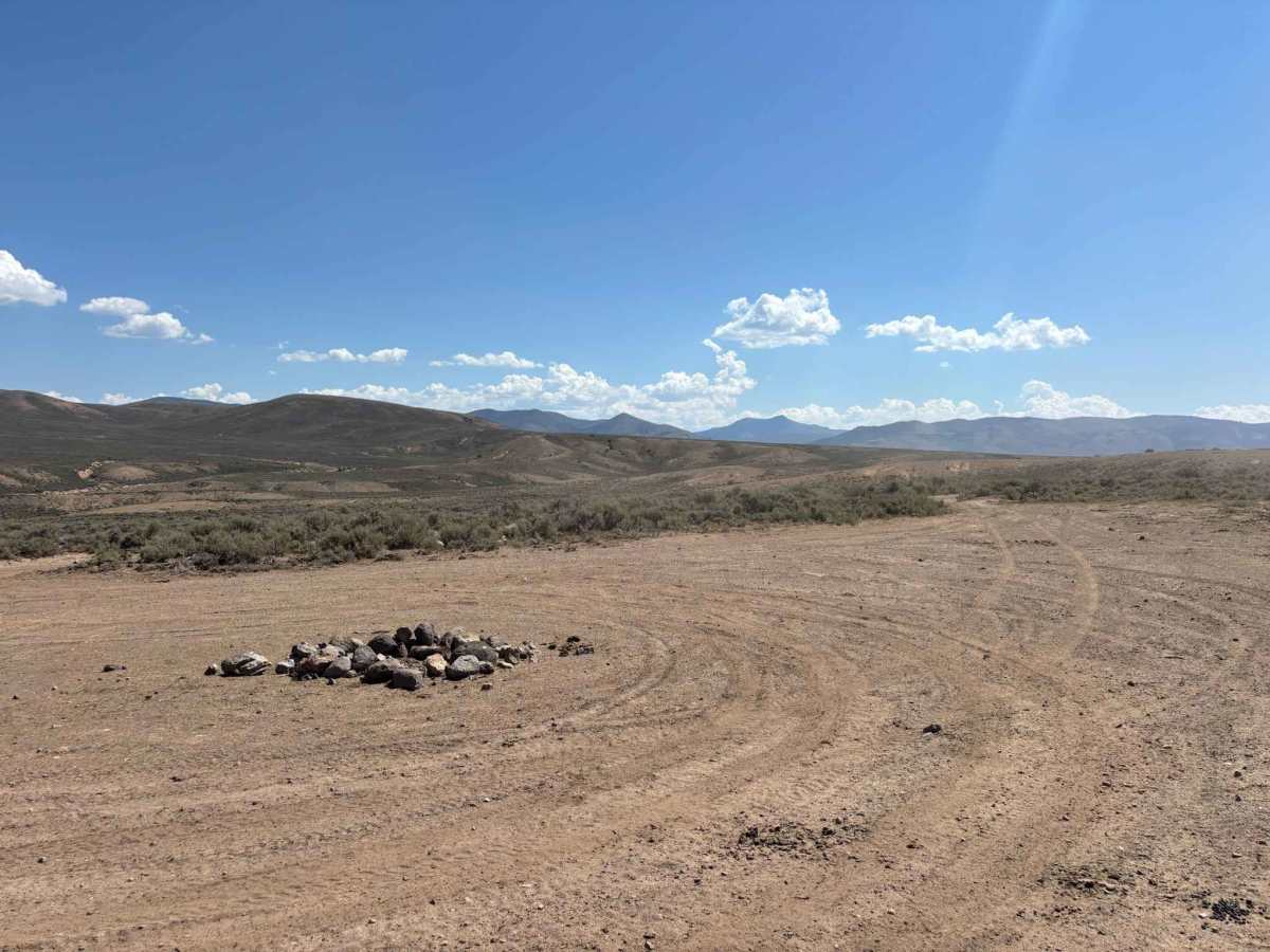
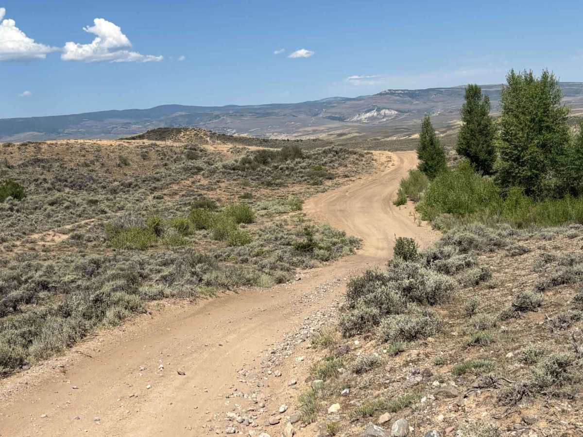
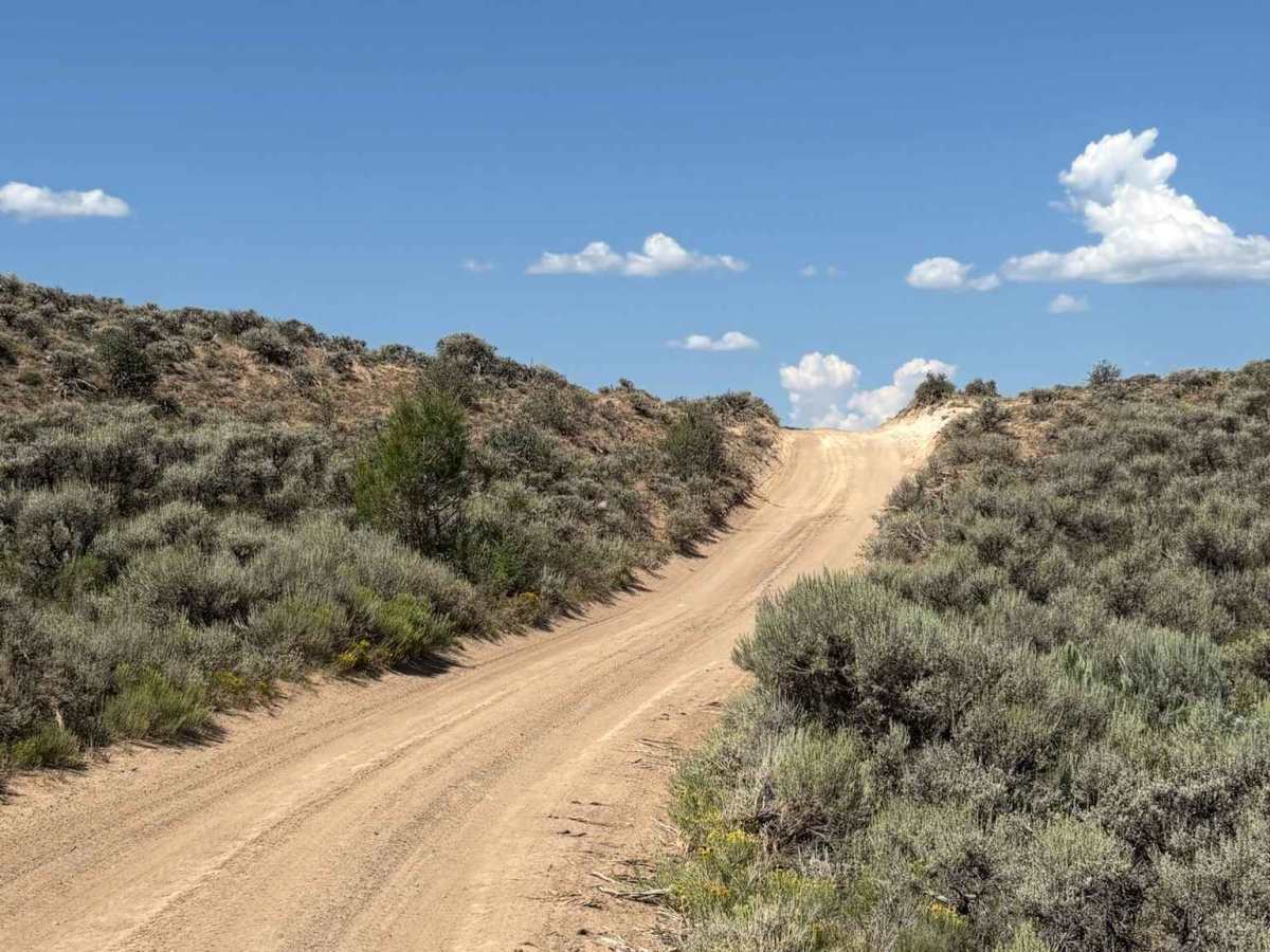
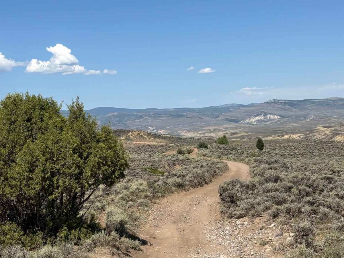
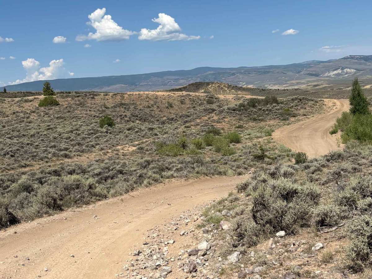
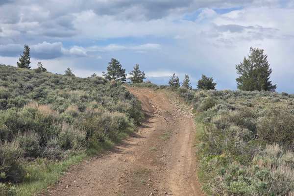
This route descends from County Road 25 to the Hay Gulch access point, providing a convenient way to explore the area west of Wolford Mountain Reservoir. Numerous excellent dispersed campsites are scattered along the route, many offering beautiful views of the surrounding rolling hills and distant mountain peaks. It's an excellent option for both accessing the trail system and establishing a scenic base camp.

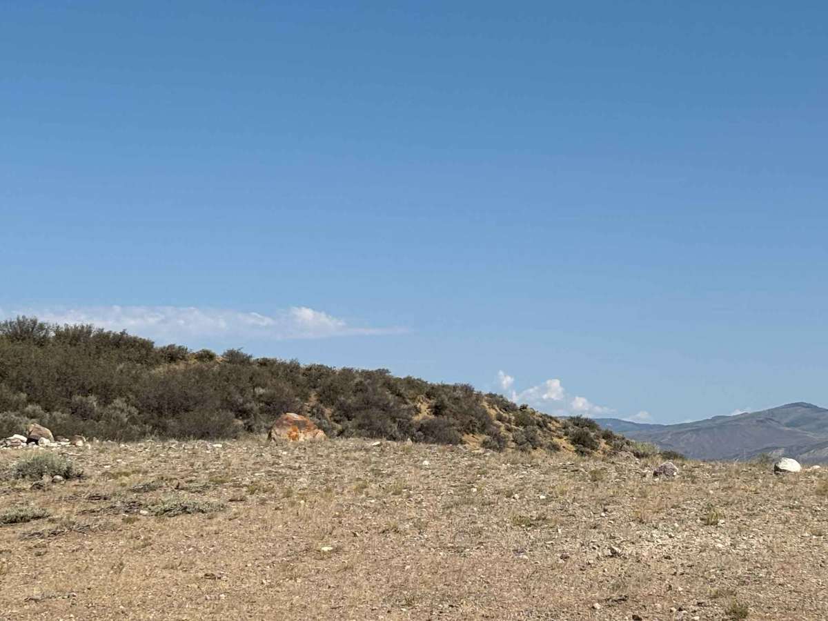
Photos of Hay Gulch Access

Difficulty

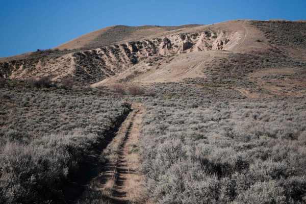
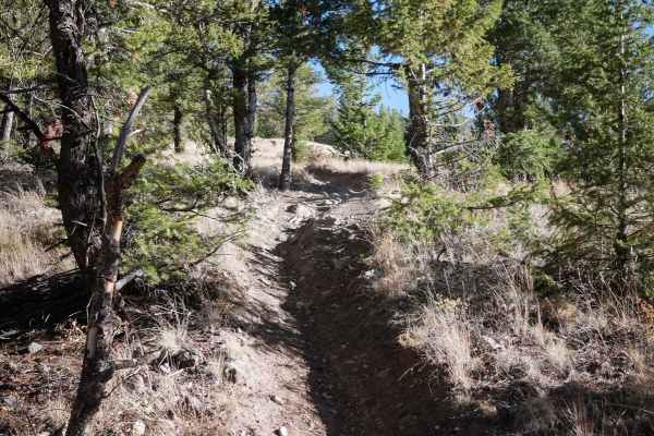
Moderate rutting at points

Technical Rating

2

Hay Gulch Access Trail can be accessed by the following ride types:

  • Single Track
  • 50 Inch
  • 60 Inch
  • High Clearance
  • Full Width

Hay Gulch Access Map

The onX Offroad Difference

onX Offroad combines trail photos, descriptions, difficulty ratings, width restrictions, seasonality, and more in a user-friendly interface. Available on all devices, with offline access and full compatibility with CarPlay and Android Auto. Discover what you're missing today!

Open Trail Map