Trail Overview
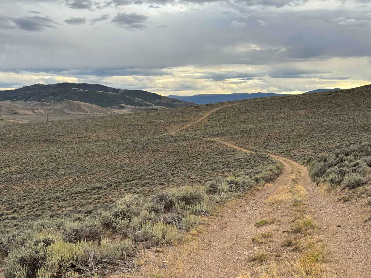
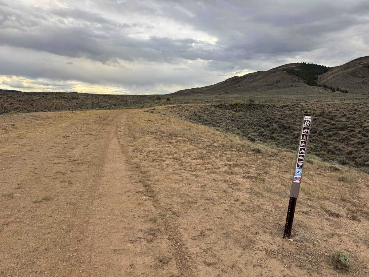
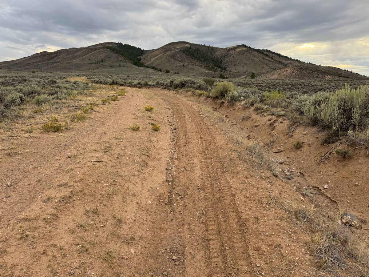
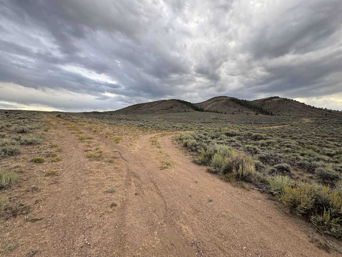
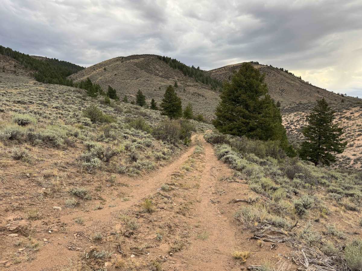
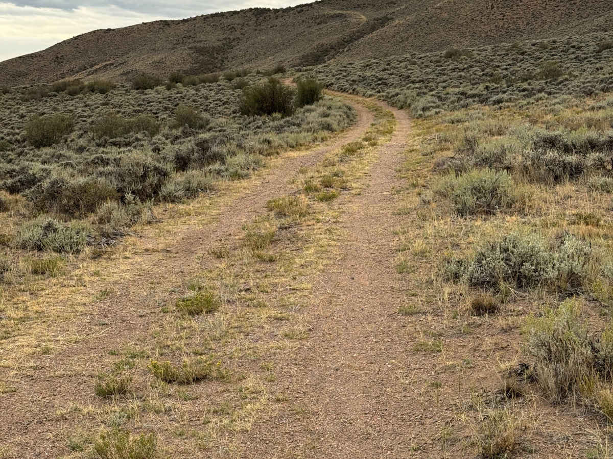
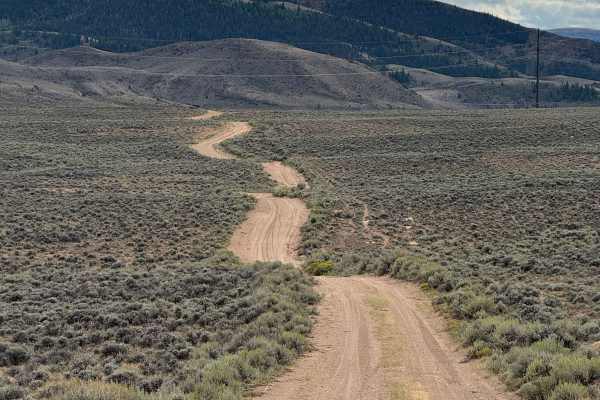
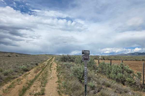
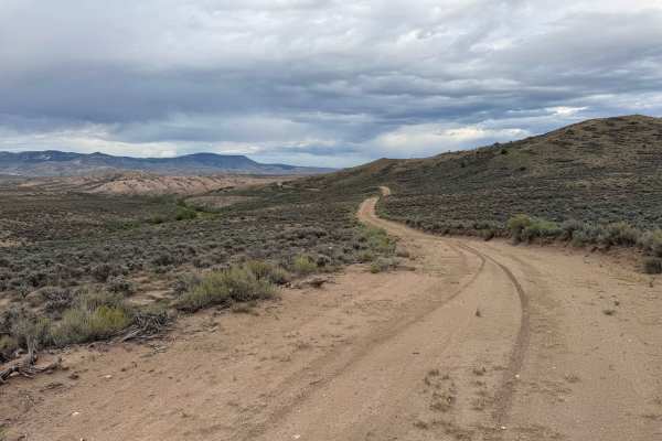
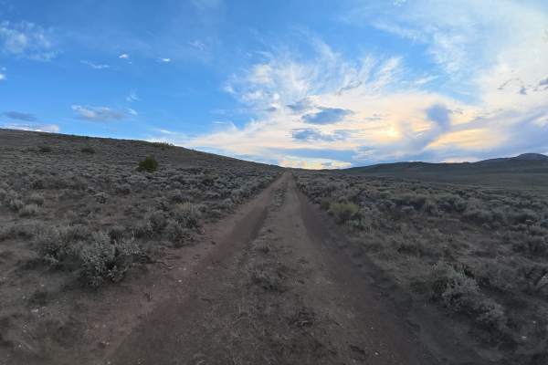
This is a relatively short and scenic backcountry road that follows the base of the mountain, winding gently along the natural contours of the terrain. The route travels through open sagebrush country and offers several short spur roads along the way, providing access to different viewpoints and a few dispersed campsites. Most of these spurs are fairly short and quickly come to an end, making the main route easy to follow. As you continue, the road eventually opens up to an incredible overlook with expansive views across the valley below. From this viewpoint, the route makes a significant descent down a steep section approximately 100 yards long. At the bottom, the road makes a sharp right-hand turn and ends at private property, marking the end of the motorized route.
Difficulty
This is an easy route under dry conditions, with only a few minor ruts and one moderately steep section along the way. The terrain is generally straightforward and should present few challenges for most appropriately equipped vehicles. In good weather, 4WD may not even be necessary.
History
Junction Butte, just southeast of Kremmling, has long been a prominent landmark in the Middle Park landscape, sitting near the junction of the Colorado and Blue Rivers. Early USGS survey records from 1913–1915 identified its summit as an important triangulation station, marking the area during the early era of mapping and surveying in Colorado. The surrounding land later became closely associated with ranching, wildlife habitat, and the development of Kremmling. Local history also records an early attempt to mine copper in Junction Butte, although the mine shaft reportedly collapsed, ending the effort. Today, the butte remains a distinctive landmark surrounded by ranchland and protected wildlife habitat.