Trail Overview
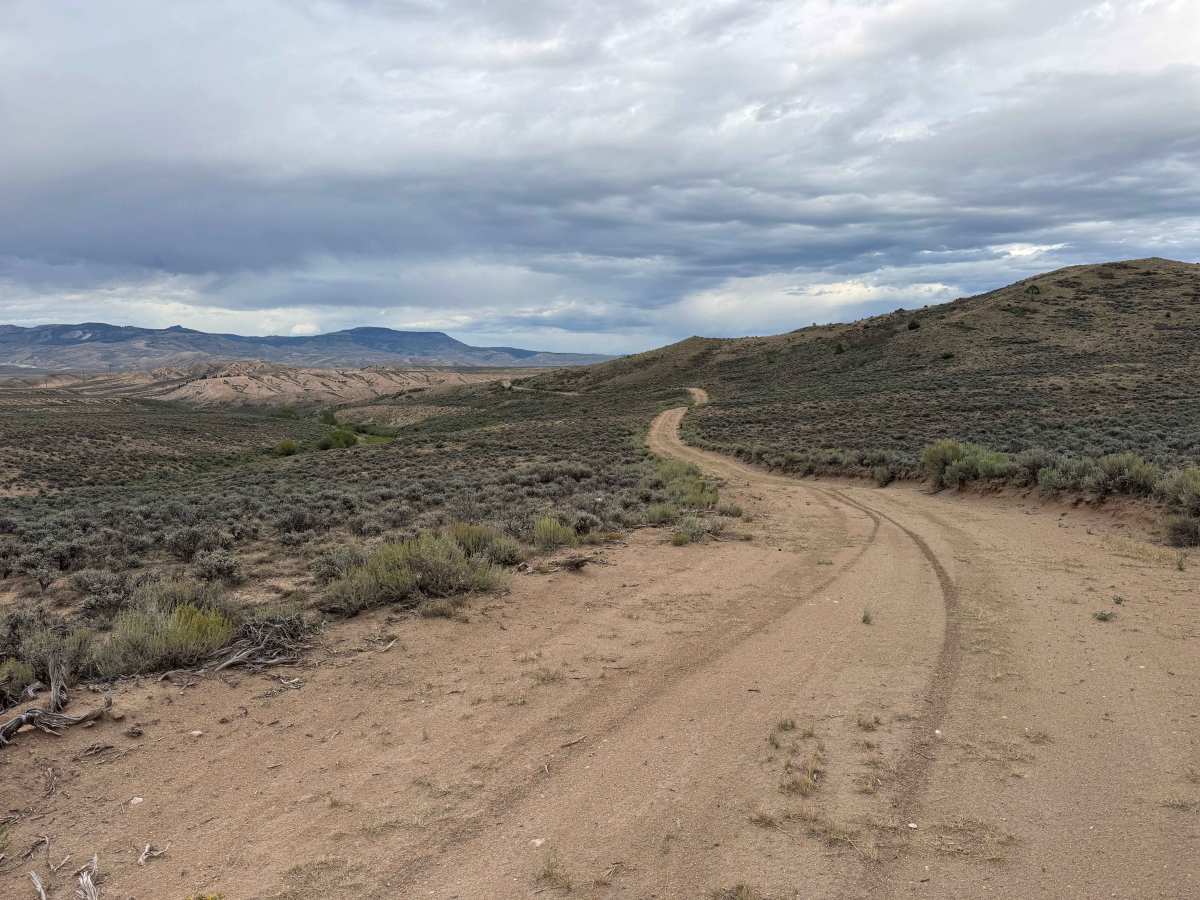
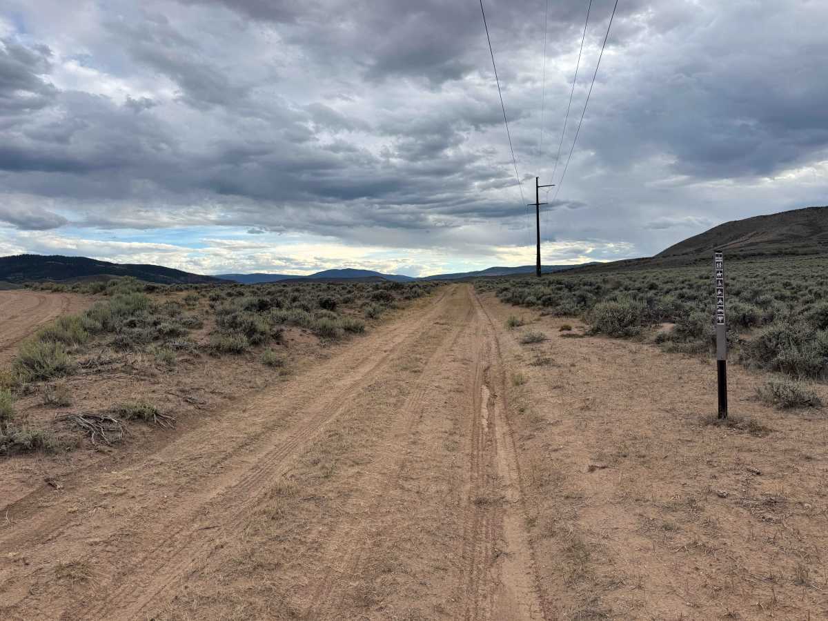
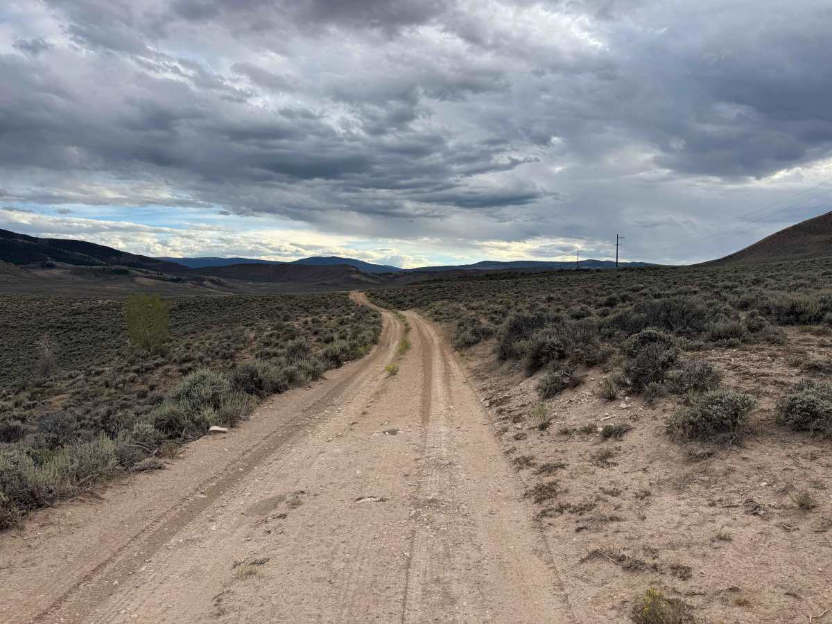
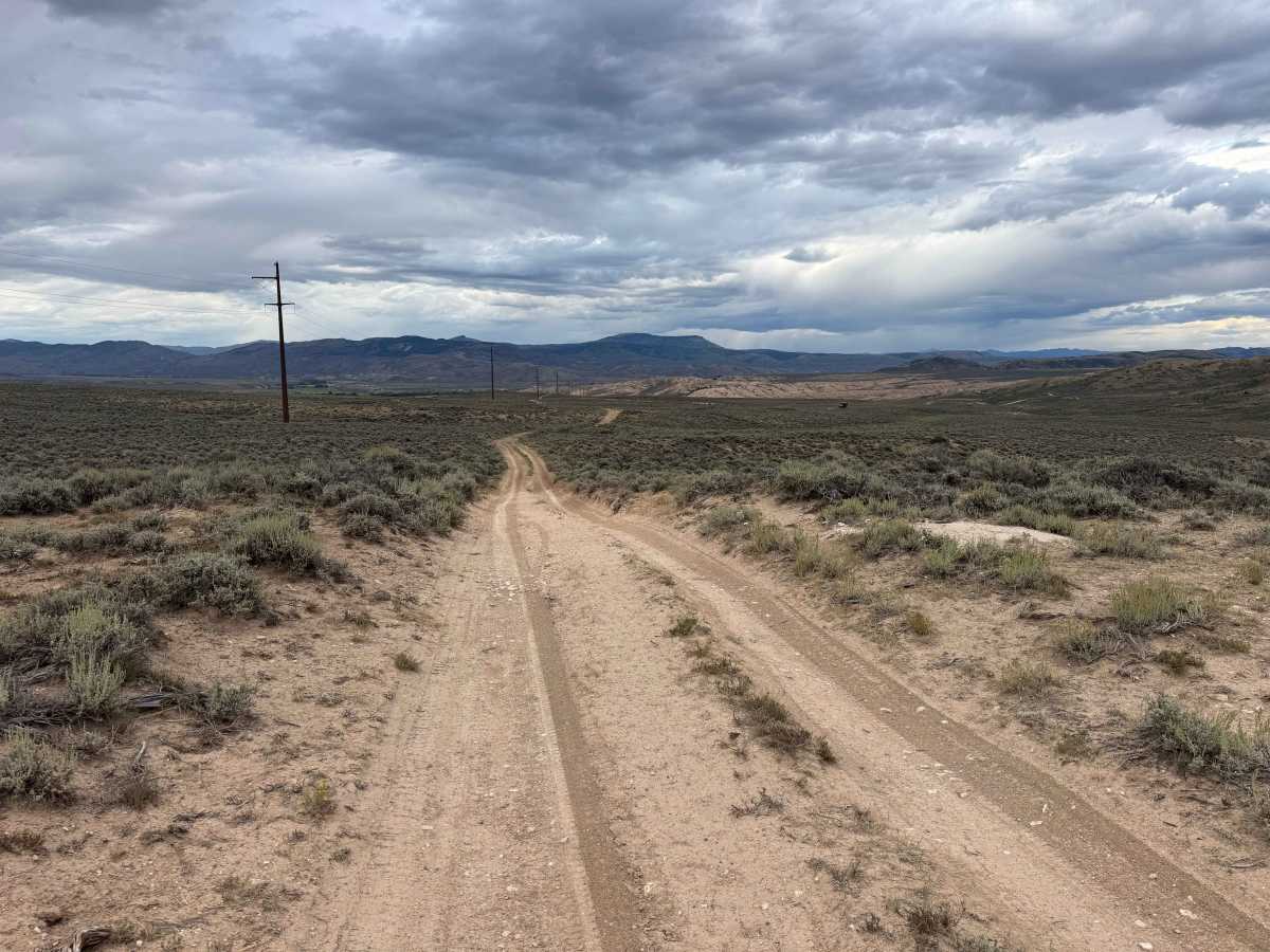
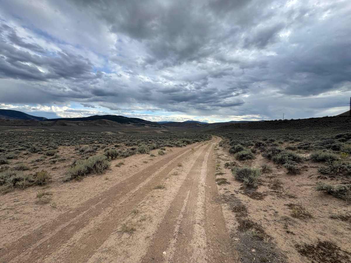
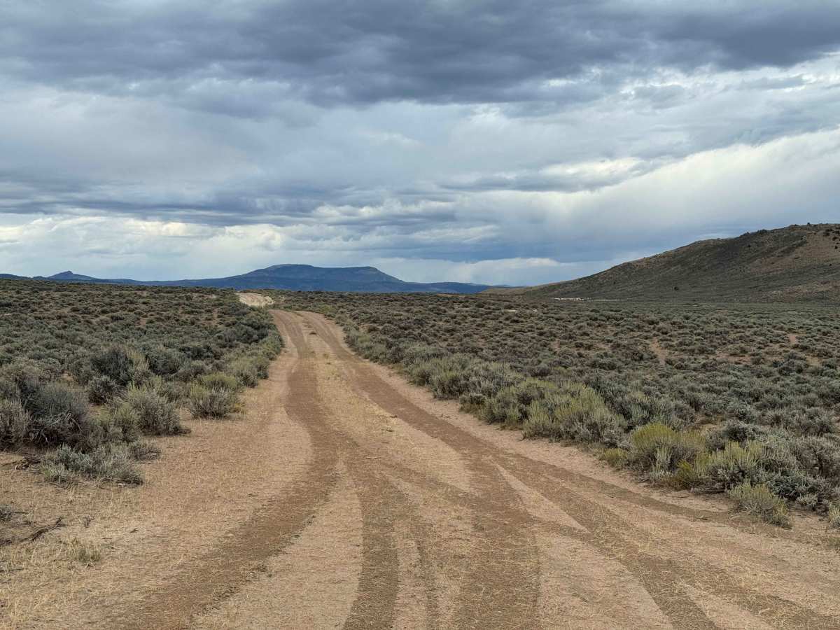
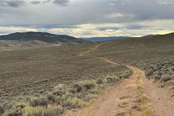
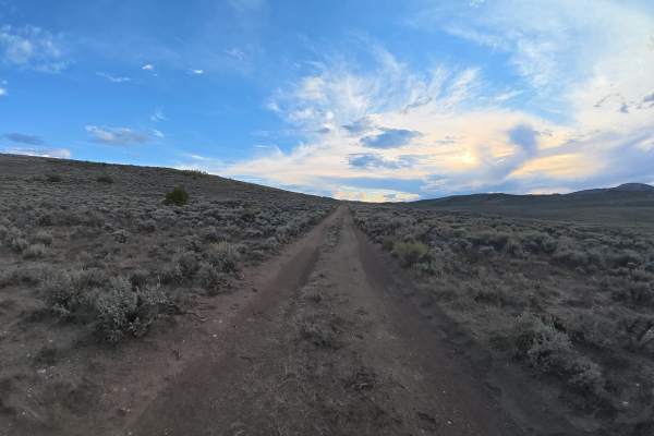
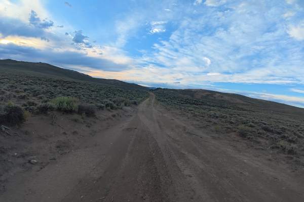
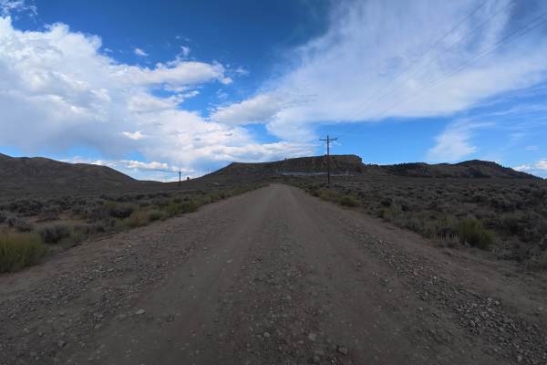
This route crosses a section of BLM land between two private-property gates, providing access through a scenic valley with expansive views in every direction. Along the way, there are several dispersed campsites and a handful of short spur roads that offer opportunities to explore the surrounding terrain. While the area is beautiful and conveniently located near Kremmling and the Colorado River, the overall motorized exploration is relatively limited. Many of the routes that once connected this BLM valley to surrounding areas are now blocked by private property, preventing access to other sections of the network. Despite its limited size, the area offers a peaceful setting, excellent scenery, and a worthwhile opportunity for a short backcountry drive or dispersed camping trip.
Difficulty
This is an easy route that should be manageable for most appropriately equipped vehicles in dry conditions. There are a few ruts along the way and several short, mild climbs, but nothing particularly challenging. Under dry conditions, 4WD will likely not be necessary, although having it available can provide additional traction if conditions change.