Trail Overview
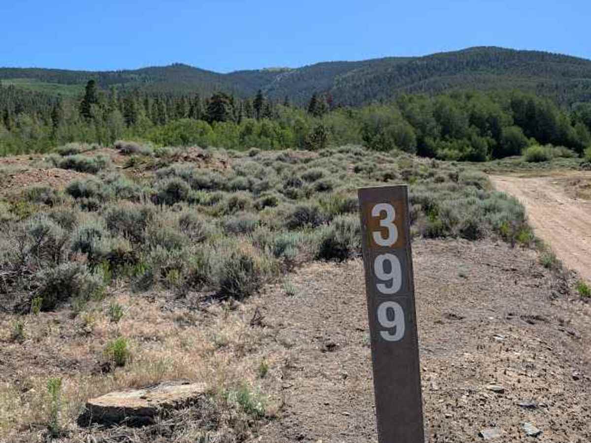
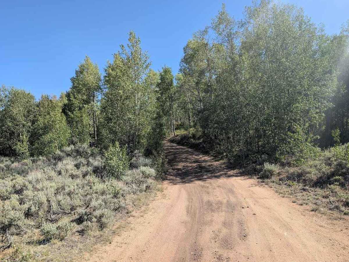
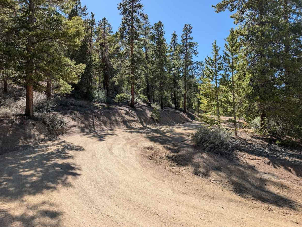
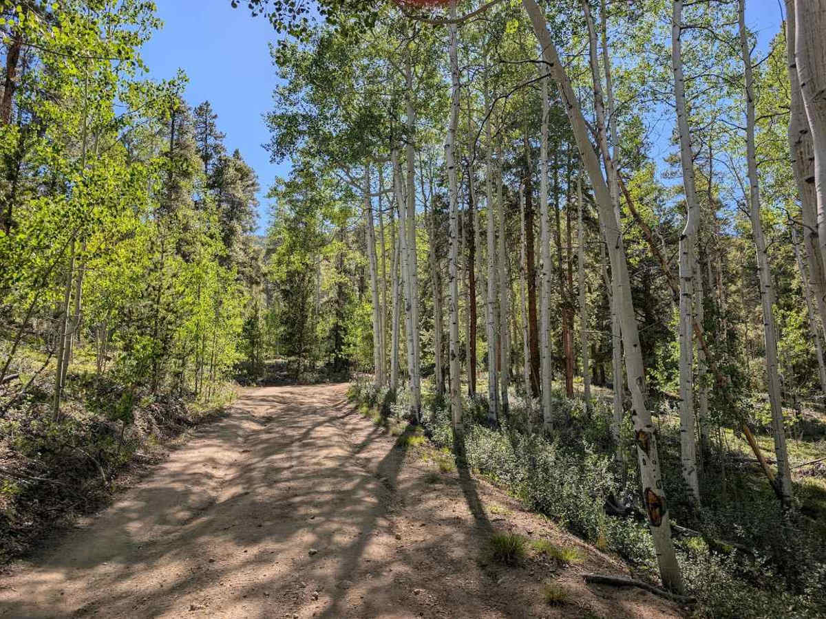
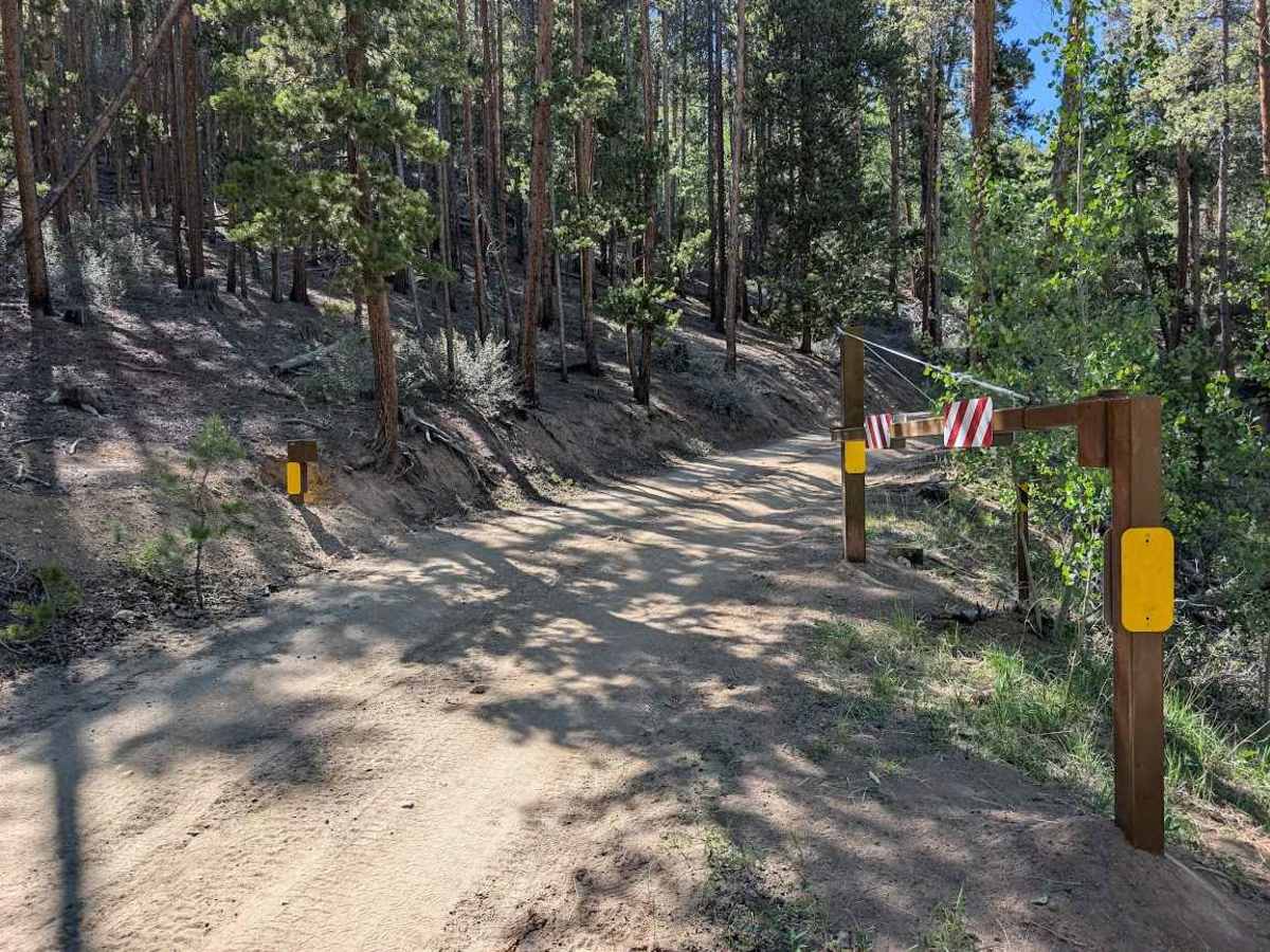
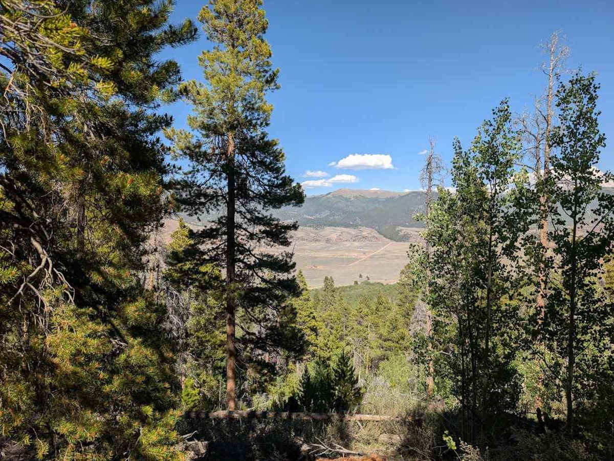
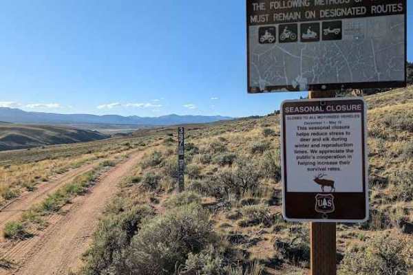
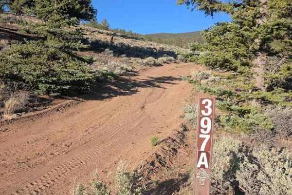
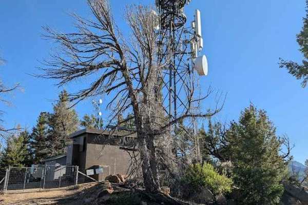
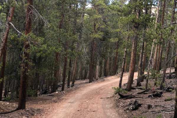
Flume Gulch Road (FS 399) begins where FS 398 turns into Lost Canyon Road. There are multiple camping options at the beginning within BLM land, as well as a few more spots further up the trail once you get into the National Forest. The trail is a moderately-maintained road, accessible in a high-clearance vehicle with some ruts and dips that could prove more challenging after heavy rains. Further into the trail, you'll see the damage from the 2024 Interlaken Fire, with much of the landscape making it appear as though it was a much more recent event. Take in views of Twin Lakes through the trees as well as mountain vistas as you top out over 10,400 feet. Toward the end, the trail makes a sharp right near and quickly comes to a dead-end next to a small pond. No signage currently exists to mark the end of the sanctioned trail, so pay attention to the MVUM data. Please note portions of this trail may be closed seasonally.