Engineer Pass

Total Miles20.4
Technical Rating
4Moderate
Best TimeSummer, Fall
Trail TypeFull-Width Road
Accessible By
Open Trail Map

Trail Overview

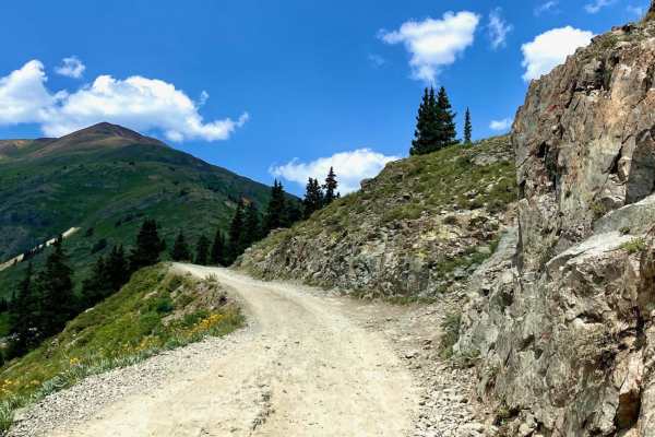
Engineer Pass is a legendary high-altitude offroad route for intermediate drivers seeking breathtaking San Juan Mountain vistas and deep historical roots along Colorado's famous Alpine Loop. Connecting Lake City with the high country near Silverton and Ouray, this iconic trail offers a classic Rocky Mountain backcountry experience. The eastern side of the pass descends gently alongside Henson Creek, providing a relatively easy drive with numerous opportunities for dispersed camping, fishing, and scenic staging. As the trail climbs westward, the terrain transitions into a more challenging, rocky route that demands careful wheel placement and steady nerves. Navigating the steep, narrow, and rocky switchbacks on the western shelf requires high-clearance 4WD vehicles with low-range gearing, as well as SxSs and high-clearance OHVs. This section can become highly intimidating for novice drivers and is particularly hazardous during wet weather or when early-season snowpack remains on the track. Along the route, historic remnants like the Ute-Ulay Mine and the ghost town of Henson offer rich glimpses into the region's late 1870s mining boom. The pass is typically accessible from late spring through early autumn, depending entirely on winter snow accumulation and annual clearing efforts.

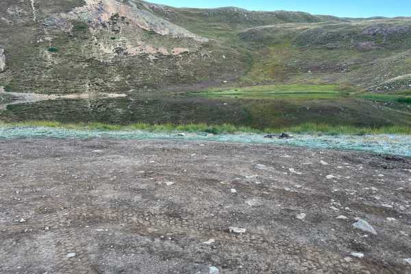
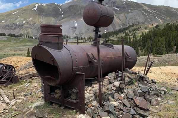
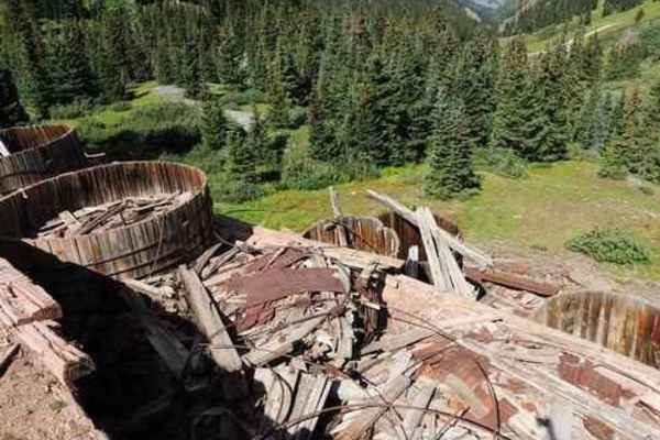
Photos of Engineer Pass

Difficulty

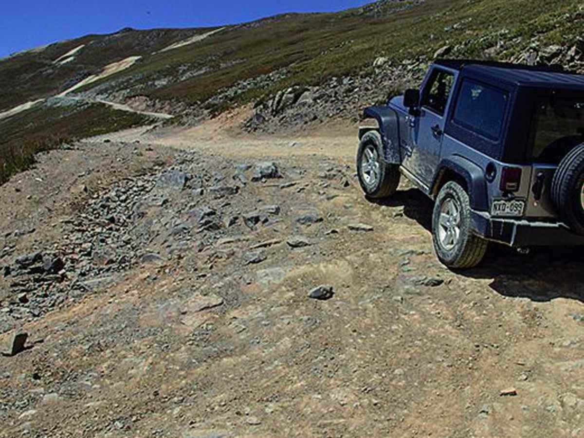
Moderate. The majority of the drive, coming down the east side of the pass, is easy. However, the west side, between Wpts. 01 and 02, is very steep, narrow and rocky in spots. Caution should be used at all times especially in wet weather. Novice backcountry drivers may be intimidated. Don't drive if snow covered. You'll want 4-wheel drive with low range gearing and high ground clearance. No seasonal closures except by weather.

History

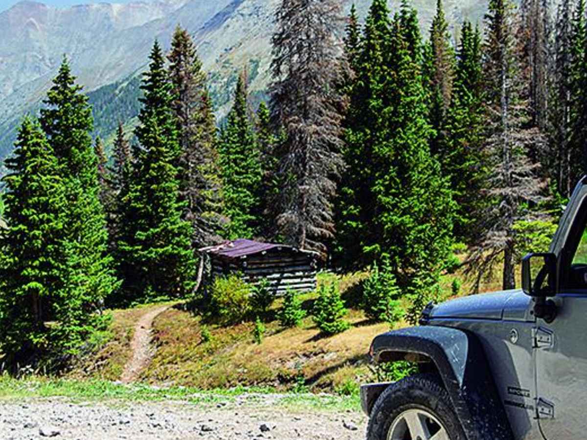
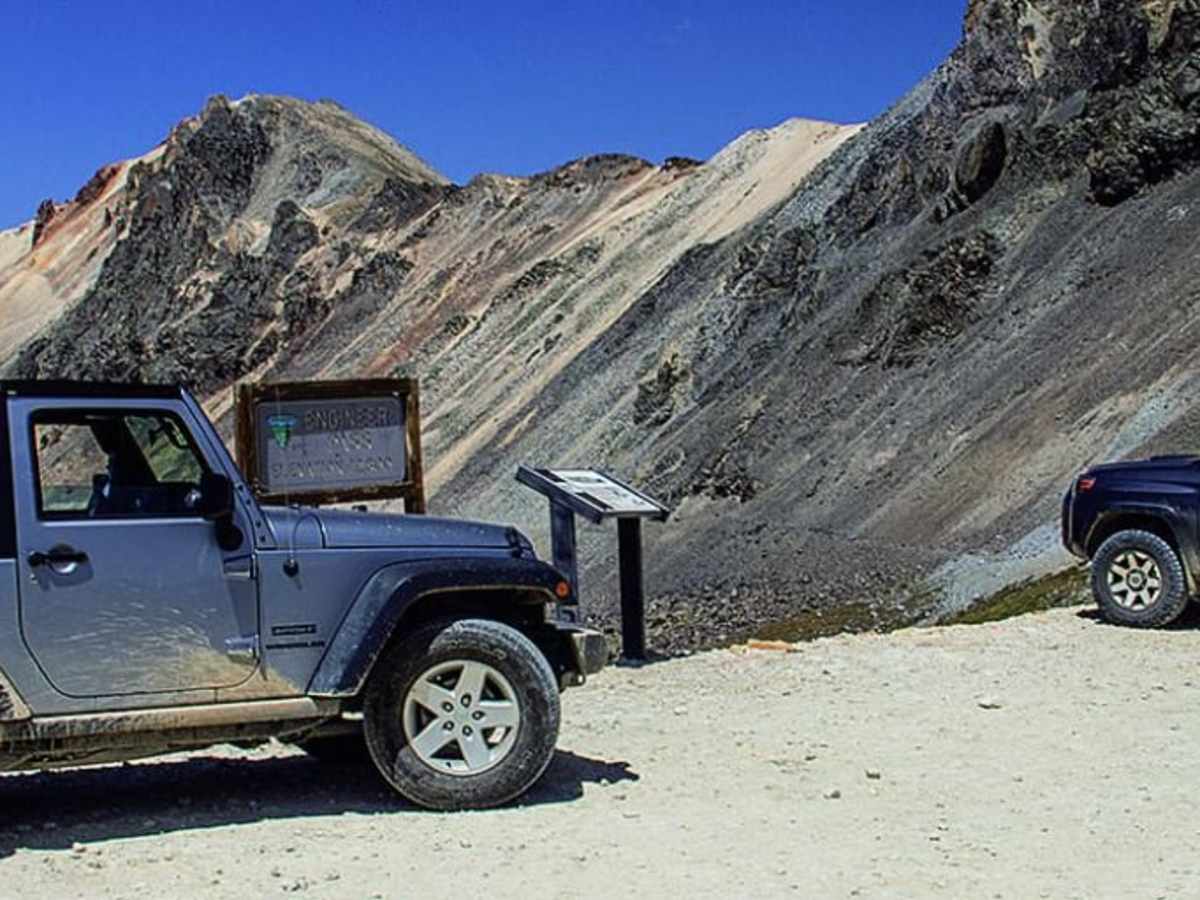
Constructed as a toll road by Otto Mears in the late 1870s, the route served as a vital stagecoach and freight line during the regional mining boom. Notable historical sites along the way include the ghost town of Henson and the Ute-Ulay Mine, which was discovered in 1871 and spurred the rapid growth of Lake City. Information kiosks are situated along the trail to detail key historical milestones.

Technical Rating

4

Status Reports

Add Status Report
Richard Kyle
Jul 21, 2026
2020 Ram 1500
Open
Normal
Made it from Animas Fork to Lake City. Skid plate hit once. Was stopped by some friendly folks saying there was a tricky part somewhere that gave a pickup truck issues recently. We did not have any issues. Stock Ram with off road group on 33” and factory rear locker. Just took our time, crawled and soaked in the view. Had a blast.
Chris
Jul 19, 2026
2024 Jeep Gladiator
Open
Normal
Fine crews working along the eastern portion of the trail.
Chris Hanshew
Jul 16, 2026
2013 Toyota FJ Cruiser
Open
Muddy/Wet
Greg guili
Jul 15, 2026
Open
Normal
Great trail. Left Animas Fork at 7:00 and made it all the way over before seeing anyone.
Noot Noot
Jul 11, 2026
Open
Normal
Took a stock 4Runner and Tacoma Sport on the entire loop. The west portion of Engineers pass was steep but manageable with some spotting. Would air down tires as well as 4 Low for the more difficult portions.
Edward Howard
Jul 06, 2026
2023 Jeep Gladiator Rubicon 3” lift 38” tires
Open
NormalDusty
Hans Kanns
Jun 11, 2026
2025 Toyota Tacoma
Open
Rough/Deteriorated
Awesome trail, rough at times, especially in the switchbacks down from Engineer pass towards Cinnamon pass. The path from Engineer pass to Oruay is currently closed for repairs during weekdays, easy way out is through Silverton.
Torry
Jun 10, 2026
2021 Bronco Widetrack
Open
DustyRough/Deteriorated
We started the trail in Lake City going west to the peak. The beginning of the trail was great. Lots of pull offs for a break or lunch and primitive camp sites. Beautiful views and the trail follows close to the creek. It turned super rocky at the Capital City ruins. We deflated down to 25 there for a better ride. After you reach the peak its very rocky and rutted on the way down to Denver Lake. Much more technical driving. There was still snow but the trail was completely clear.
Alex Knight
May 23, 2026
Open
NormalMuddy/WetSnow/Ice
Pretty deep snow at the top but is passable
Andrew Ferro
May 05, 2026
Obstructed
Deep Snow
Still snow on top of engineer pass at the very top from the east/lake city side. Last .5 mile is obstructed.
Henry fair
Mar 19, 2026
2023 Toyota 4Runner
Temporarily Closed
Seasonal Closure
Jacob wessels
Oct 27, 2025
Temporarily Closed
Closed Gate
So after getting stuck I found out the trail is closed on the Lake City side but not mineral creek/ouray side
Adam Mertz
Oct 16, 2025
Obstructed
Deep Snow
Going east to west you can make it to Engineer Pass. It is a bit muddy and snowy. However there is an uphill climb just past the pass through several inches of snow which got even deeper. Someone had made an attempt before me and backed down. I ended up going just as far as they did before having to back down the whole hill. Would not recommend. Just stop at the pass.
Ami and Aaron Crouch
Oct 07, 2025
2021 Jeep Wrangler
Open
Normal
We went Ouray side to Lake City. First time doing the trail, and I’m glad we went that direction. It was much rougher at the beginning than I expected, but we had fun, and the views were spectacular! We couldn’t have asked for more perfect weather, and there was very little traffic.
Alex Gelb
Sep 21, 2025
Open
Normal
Went up from the silverton side and down to lake city on 9/21 . Pretty much dry , couple of puddles but that’s it . Pretty easy trail with a couple of tougher obstacles higher up … 5th gen 4Runner with a 3” lift and 33s did fine . Lake city side is easy and the aspens are on fire right now !

Engineer Pass Trail can be accessed by the following ride types:

  • Single Track
  • 50 Inch
  • 60 Inch
  • High Clearance
  • Full Width

Access Description

The trail is seasonally closed by winter snowpack and is generally open from late spring or early summer through autumn. High ground clearance, four-wheel drive, and low-range gearing are required to safely negotiate the steep, rocky western shelf. Drivers should monitor local weather conditions, as wet or snowy weather makes the route highly hazardous.

Engineer Pass Map

The onX Offroad Difference

onX Offroad combines trail photos, descriptions, difficulty ratings, width restrictions, seasonality, and more in a user-friendly interface. Available on all devices, with offline access and full compatibility with CarPlay and Android Auto. Discover what you're missing today!

Open Trail Map