Trail Overview
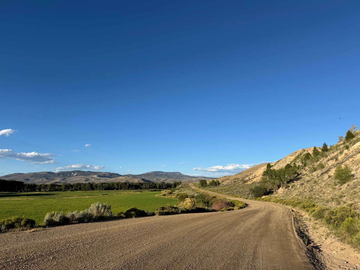
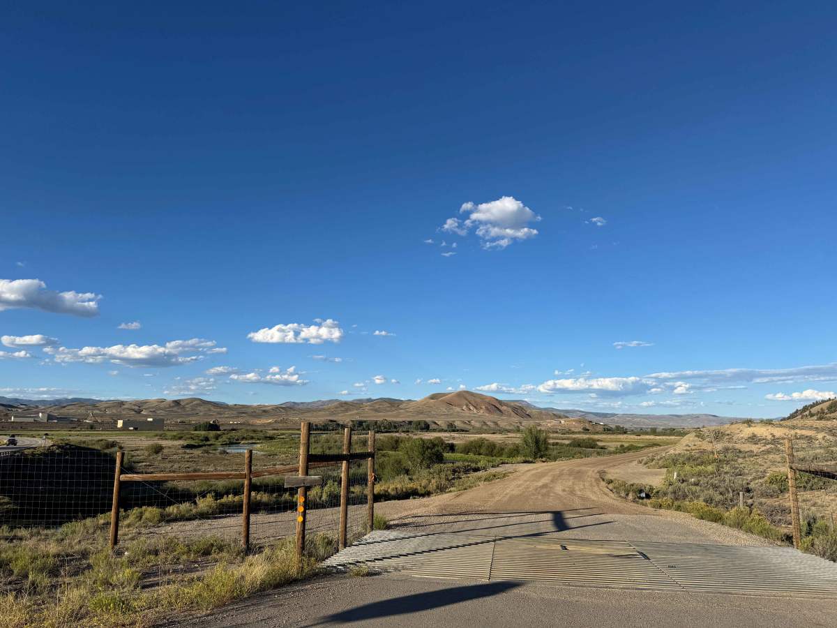
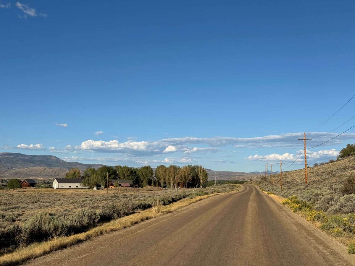
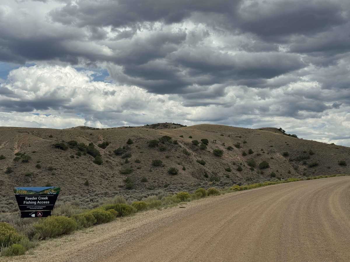
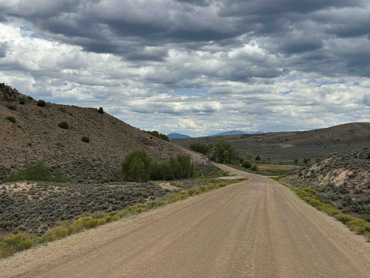
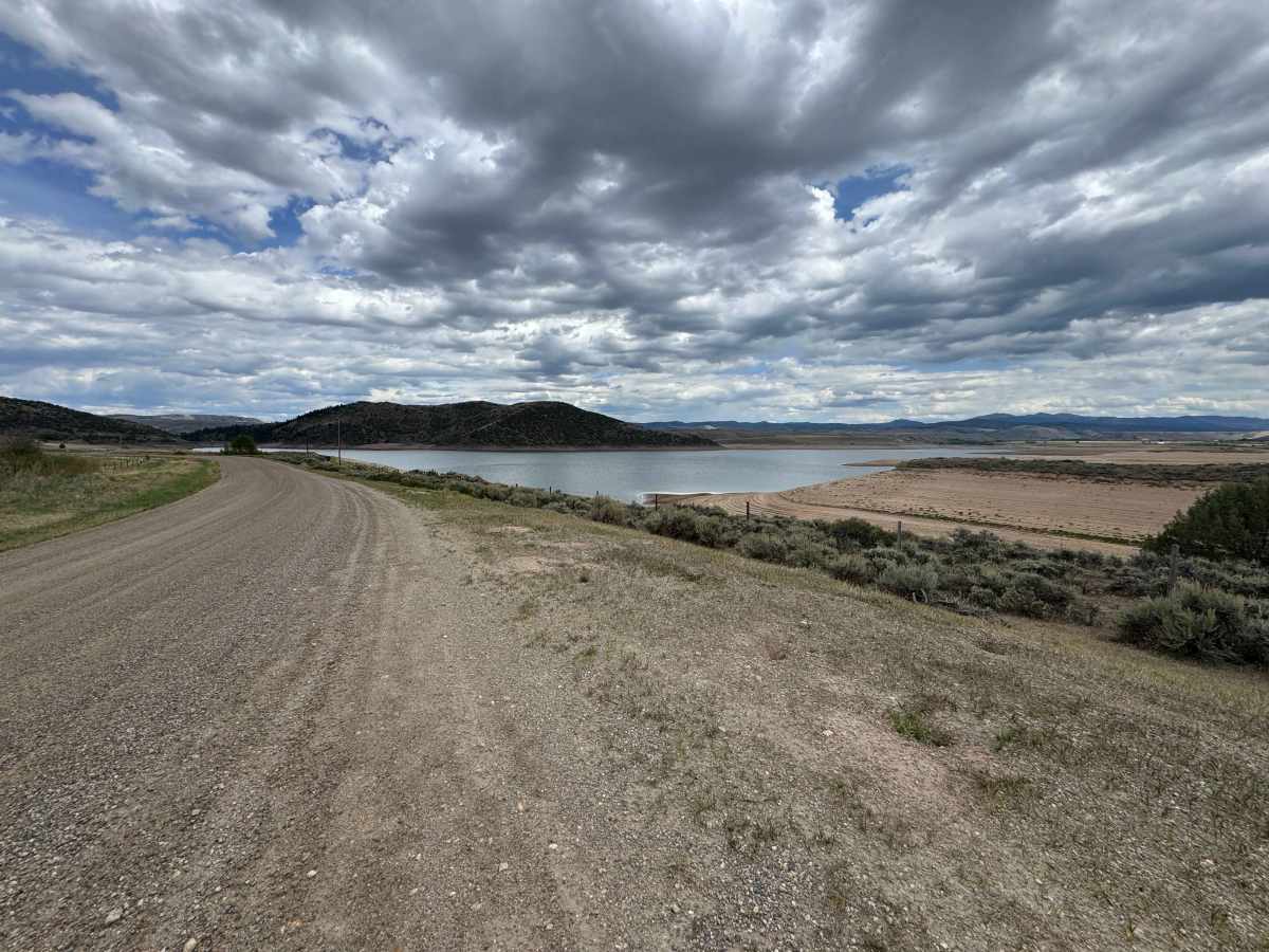
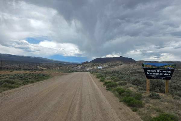
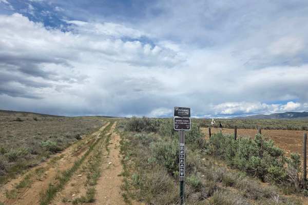
This route begins at Highway 9 and follows a well-maintained gravel road through beautiful ranch and river country along the Colorado River. The road is generally smooth and easy to travel, with occasional glimpses of the river as it winds through the surrounding landscape. About a mile into the route, a right turn provides access to BLM-managed public lands and a network of trails and dispersed campsites in the Junction Butte area, offering an excellent opportunity to explore beyond the main route. Continuing east, the road gradually approaches Williams Fork Reservoir, winding around several of the reservoir’s long fingers and inlets. At the time of mapping, water levels were exceptionally low due to ongoing water shortages, but when the reservoir is full, this section should provide an even more scenic drive. The route continues along the reservoir before eventually ending at Highway 3.
Difficulty
This is a well-maintained gravel road that should be easy to navigate in virtually any street-legal vehicle capable of traveling on gravel surfaces. The route is straightforward, with no significant obstacles or technical sections under normal conditions. Keep in mind that only street-legal vehicles are permitted on this road, so be sure your vehicle meets all applicable requirements before traveling this route.
History
Williams Fork Reservoir, located about 12 miles southeast of Kremmling, has played an important role in Colorado’s water and power history for nearly a century. The original Williams Fork Dam was completed in 1938 as part of Denver’s effort to collect and store water from the Western Slope for use in the Denver metropolitan area. The dam was substantially enlarged between 1956 and 1959, creating a reservoir capable of storing nearly 97,000 acre-feet of water, and a hydroelectric power plant was added. Today, the reservoir remains an important part of Denver Water’s system while also providing fishing, boating, camping, and other recreation in the scenic Williams Fork Valley.