Trail Overview
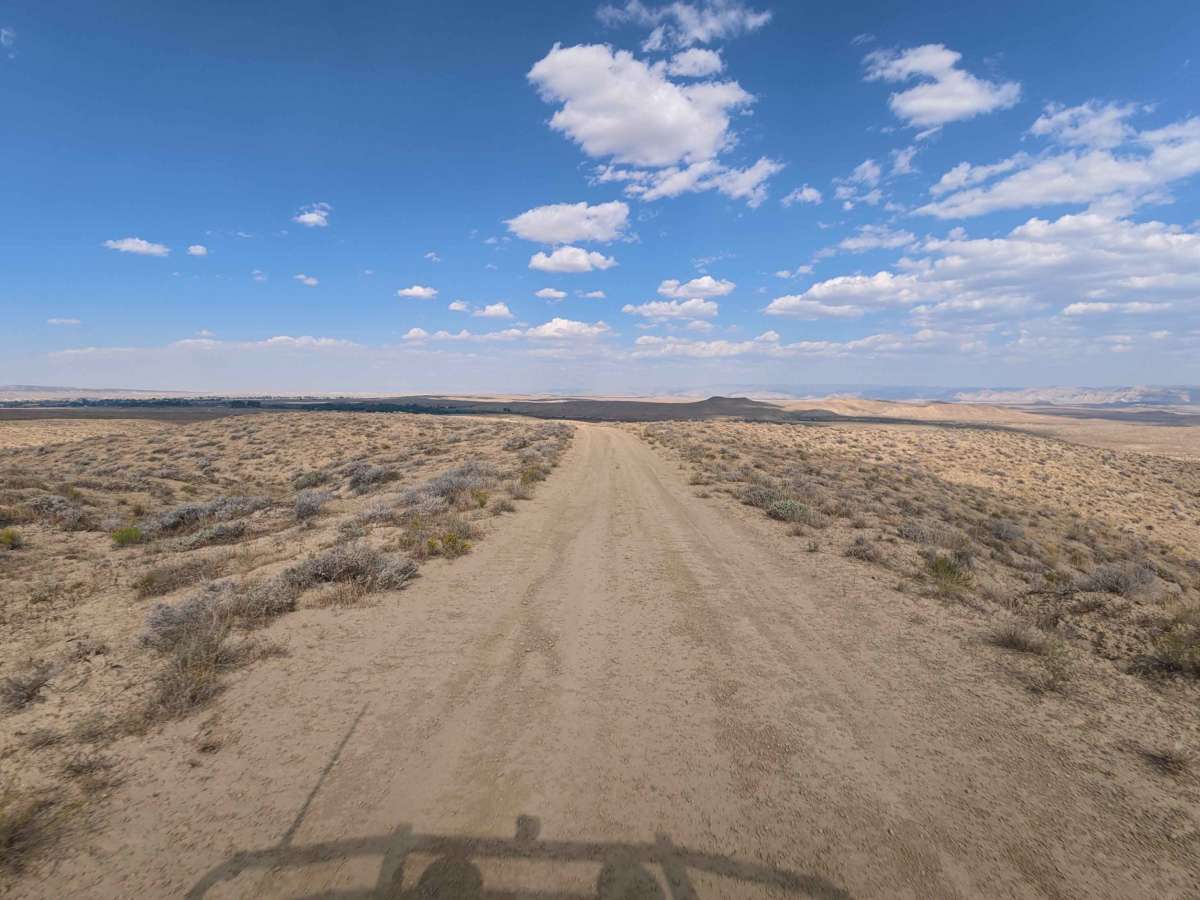
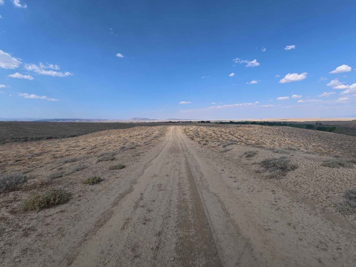
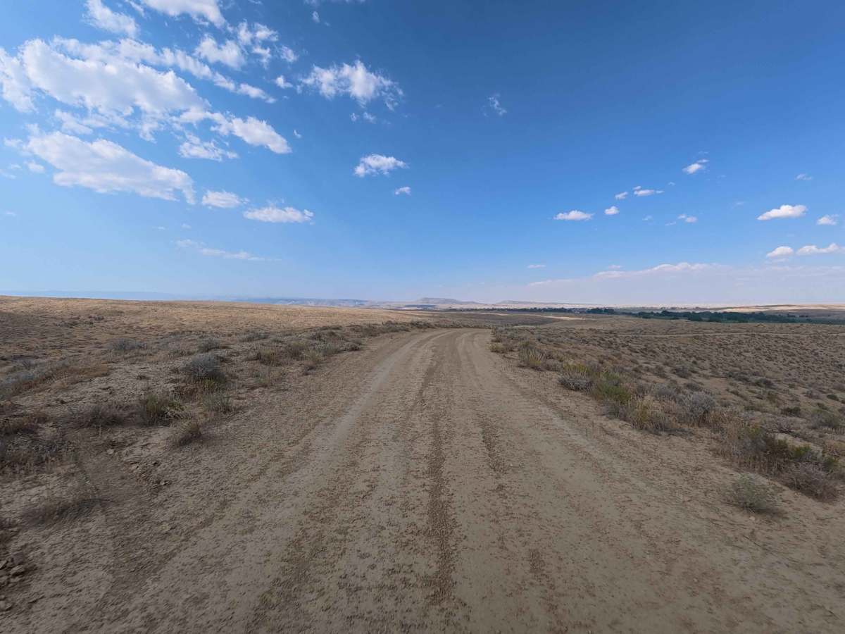
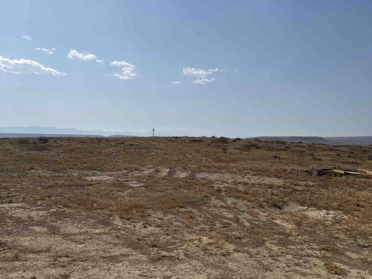
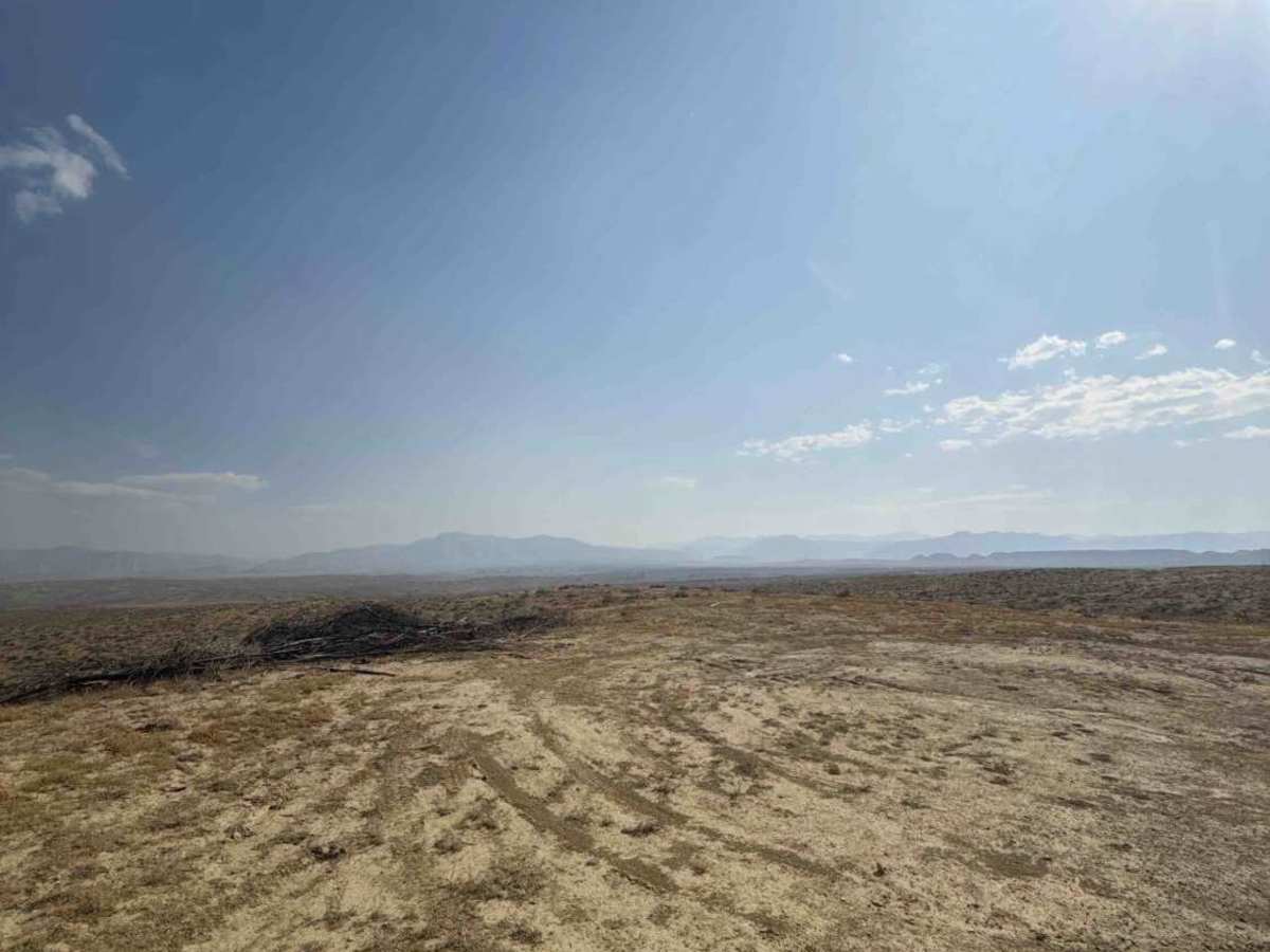
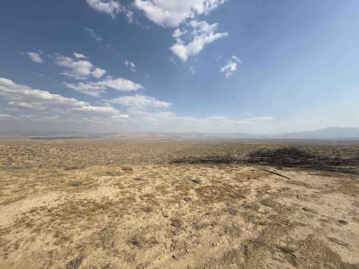
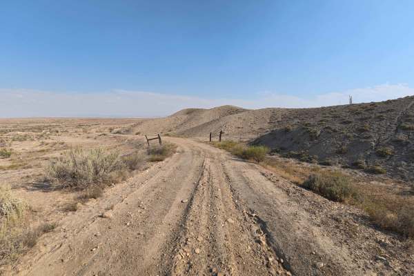
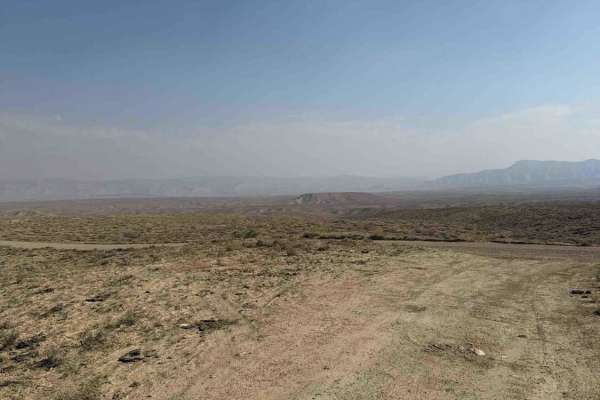
Set across an expansive high-desert landscape surrounded by open sagebrush flats and sweeping skyline vistas in the North Desert area managed by the Bureau of Land Management (BLM), County Road T delivers a scenic and accessible desert drive. Accessed directly off Highway 139 through an initial entrance gate, this 1.9-mile out-and-back spur provides quick entry into the local public land network. Recreators primarily travel this path to establish convenient primitive campsites, take in wide-open views, or reach intersecting non-motorized and motorcycle single-track trails. The driving surface consists of soft dirt and loose sand with shallow 3- to 6-inch wheel ruts, earning a gentle Grade 2 difficulty rating. Moving past the entry gate, the pathway remains smooth and well-kept, passing inviting roadside camping turnouts at 0.1 miles, 0.3 miles, and 0.8 miles. Drivers should stay observant along open stretches where single-track dirt bike routes cross the main right-of-way. The route concludes at 1.9 miles at a cattle guard and locked private property gate where vehicle access ends.
Difficulty
Earning an accessible grade 2 difficulty rating, this 1.9-mile desert spur features a forgiving surface composed of soft dirt, sand, and mild 3- to 6-inch wheel ruts. Technical obstacles, steep hill climbs, and high-clearance rock features are completely absent under dry weather conditions. Drivers should open and close the entrance gate when passing through, maintain steady throttle through soft sandy patches, keep tires centered along established tracks, and yield properly at intersecting motorcycle single-track crossings.