Trail Overview
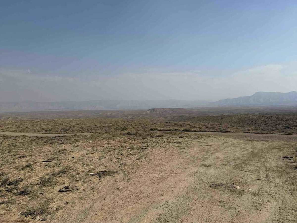
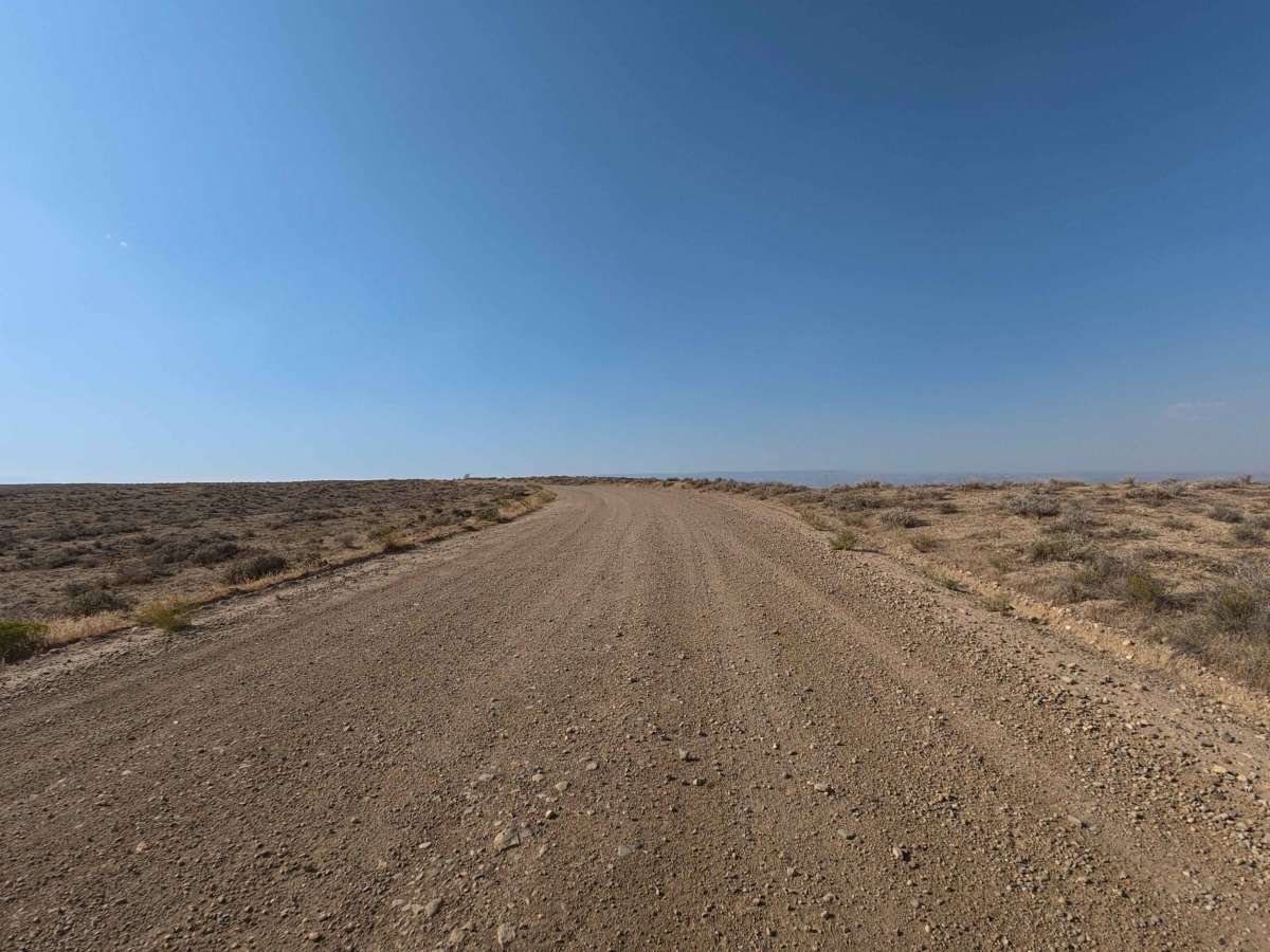
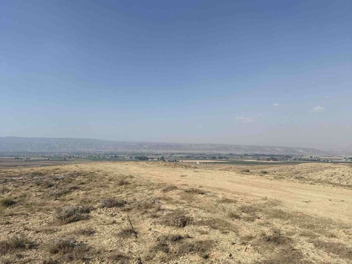
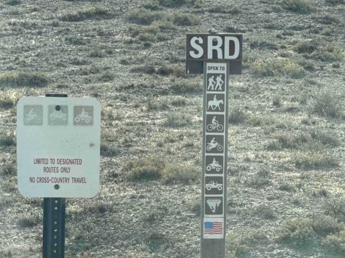
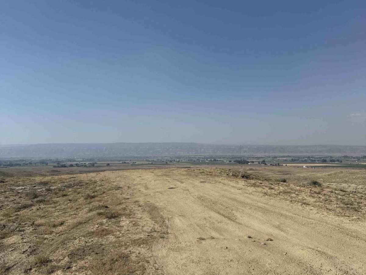
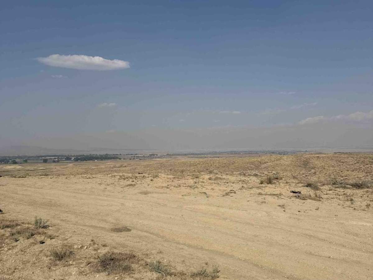
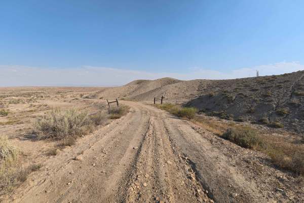
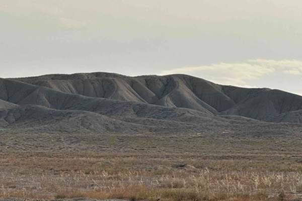
Set across an expansive, sun-drenched high-desert plain managed by the Bureau of Land Management (BLM), S Road (BLM 150) serves as a vital backcountry corridor. Accessed directly off Highway 139 upon crossing a cattle guard, this 2.3-mile county-maintained thoroughfare acts as a primary connector road linking multiple regional trail networks. Public land visitors frequently utilize this smooth, accessible route to locate spacious primitive campsites, stage vehicles for the adjacent BLM 157 system across the highway, or haul camping setups deeper into the desert. The driving surface consists of a wide, well-graded dirt and gravel road with minimal surface ruts, earning a gentle grade 2 difficulty rating. Moving past the initial cattle guard, the road maintains a broad, level right-of-way that comfortably accommodates large setups. Roadside dispersed camping turnouts appear regularly at 0.3 miles, 0.5 miles, and 0.8 miles. At 1.3 miles, a designated parking area provides convenient access to an intersecting non-motorized and motorcycle single-track trail, before S Road continues onward to connect with surrounding public land tracks.
Difficulty
Earning an accessible grade 2 difficulty rating, this two-lane county gravel road features a wide, well-maintained surface free of technical obstacles or high-clearance hazards. Ruts remain minimal at 2 to 3 inches deep, providing a predictable and stable surface across the entire 2.3-mile distance. Drivers should maintain a comfortable cruising speed, watch for loose surface gravel along wide turns, and yield properly when approaching cattle guards or intersecting trailheads.