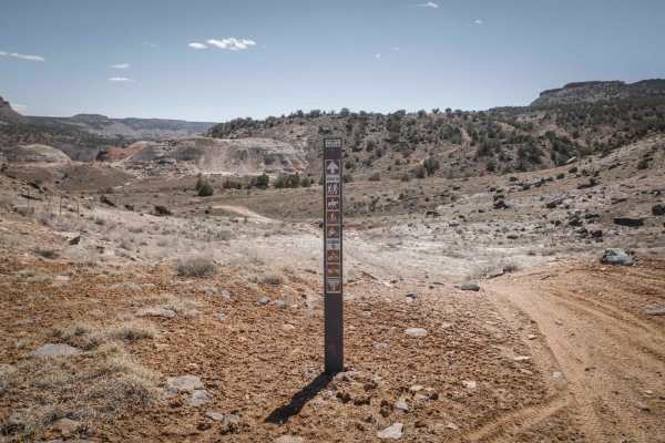
Trail Overview
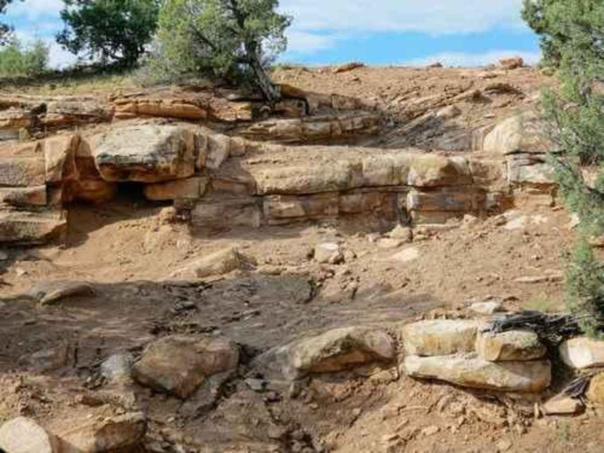
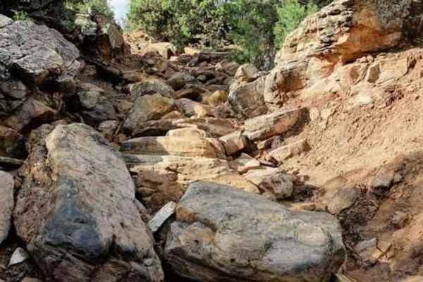
Calamity is a short, extreme rock crawling trail near Montrose, Colorado, built for highly modified four-wheel-drive vehicles and built SxSs seeking an intense technical challenge. Spanning just over one mile, this demanding route climbs from 5,892 feet to 6,105 feet through a narrow canyon filled with massive boulders, steep ledges, and tight off-camber squeezes. Rated an 8 out of 10, the trail features two optional side loops that significantly increase the difficulty, though both can be bypassed. The first optional loop forces drivers up a series of steep rock ledges into a tight drainage before looping back into the main canyon, while the second loop exits to the right over a rugged boulder field leading to consecutive uphill ledges.
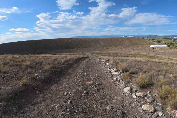
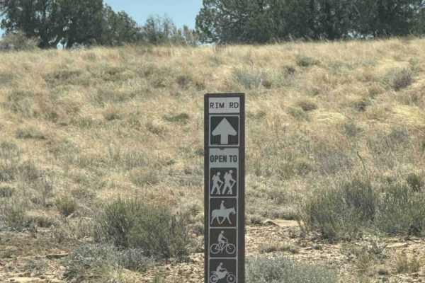
Regardless of whether the optional loops are taken, the exit of Calamity is mandatory and presents the trail's ultimate test with numerous large boulders blocking the approach. Drivers must choose between three highly technical lines to exit: a steep, loose climb on the right, a challenging undercut ledge in the middle, or a massive boulder obstacle on the left. Four-wheel-drive is absolutely mandatory, and vehicles should be equipped with front and rear lockers, high clearance, and a minimum of 35-inch tires to avoid body damage. Once at the top, the trail intersects with Power Line Road, where turning left provides an easy return route to Rim Road.
Access Description
The trail is managed by the Bureau of Land Management (BLM) Uncompahgre Field Office within the Gunnison Gorge National Conservation Area. Due to the extreme technical rating of 8, this trail requires highly modified vehicles with high clearance, front and rear lockers, and robust recovery gear. There are no fees to access this area, but visitors must stay on designated routes.