Trail Overview
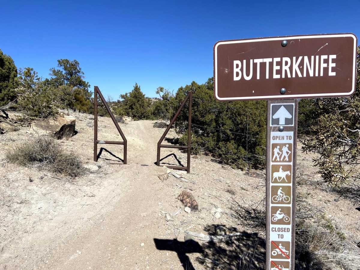
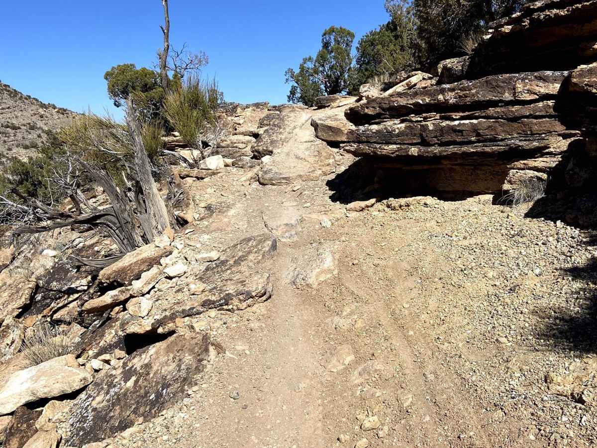
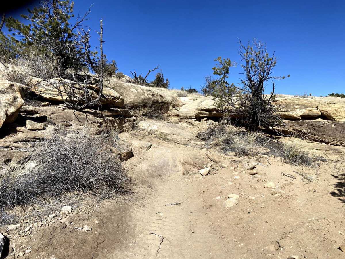
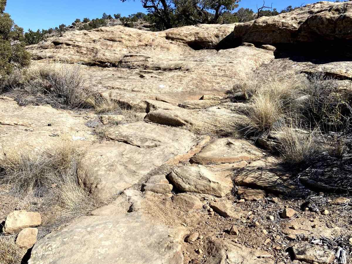
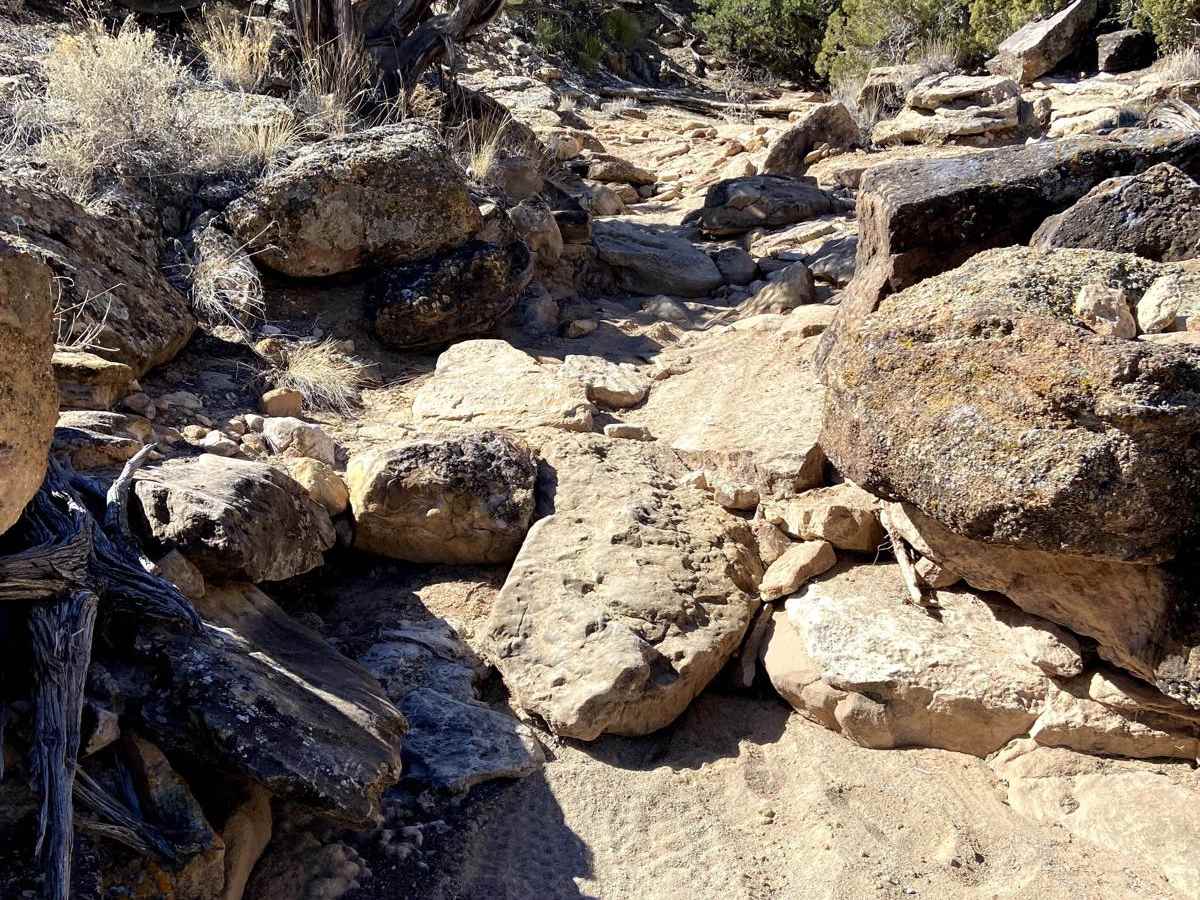
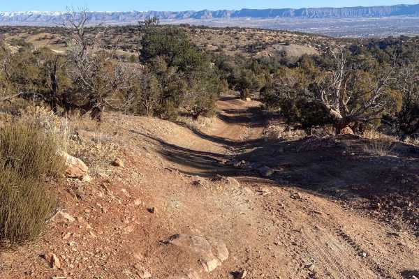
Butterknife is a highly technical, physically demanding singletrack trail designed for experienced dirt bike riders seeking the ultimate challenge within the Bangs Canyon and Third Flats trail networks. Spanning approximately 6.1 miles with a net elevation loss of about 577 feet when traveled from west to east, this trail offers relentless obstacles with minimal opportunities to rest. The first third of the route features deep sand and large, tire-grabbing chunky rocks that require precise peg placement and constant throttle control. As riders progress into the middle section, they will encounter steep grades and slickrock sandstone domes that demand excellent traction management and technical climbing skills.
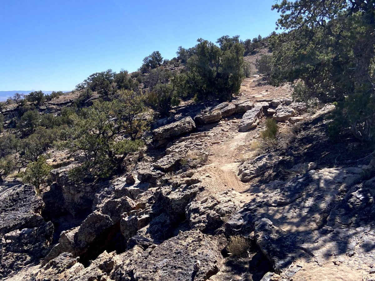
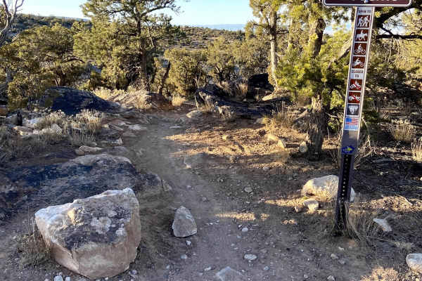
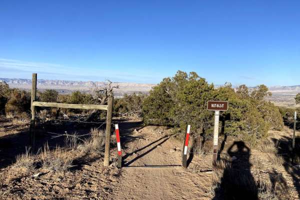
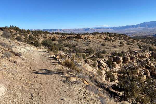
The final segment of the trail offers a slightly faster, flowing pace but introduces significant shelf exposure as it wraps around canyon edges before terminating at Third Flats Road near the Gunnison River. Due to its technical rating of 7, this trail is best suited for experienced motorcyclists on agile dirt bikes; larger vehicles like four-wheel-drive trucks or SxSs are not suitable for this tight, singletrack route. Riders can access the trailhead from either the Third Flats Trailhead or the Bangs Canyon Trailhead, though starting via Third Flats Road and warming up on Twist-N-Shout or Second Thoughts provides a more logical loop. The area is highly seasonal, best ridden in spring and fall when temperatures are moderate, as summer heat on the exposed slickrock can be punishing.