Trail Overview
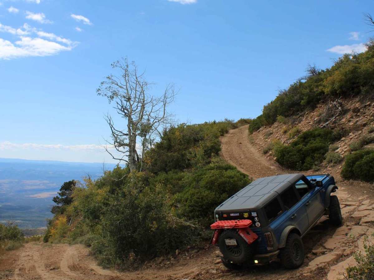
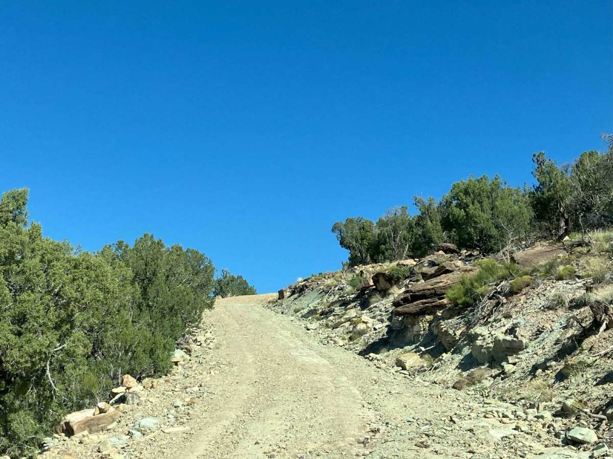
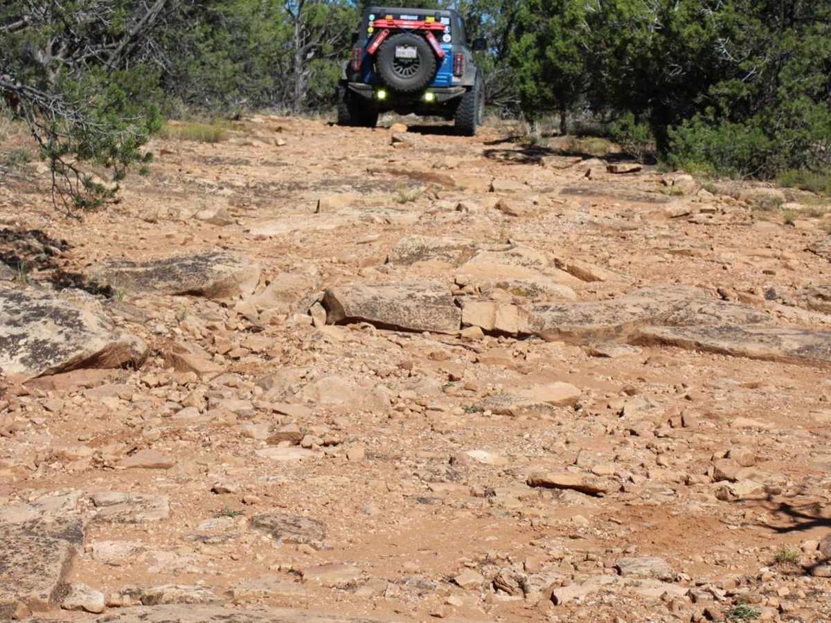
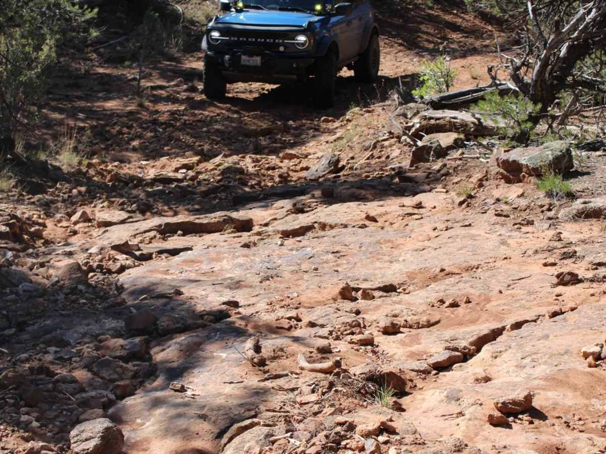
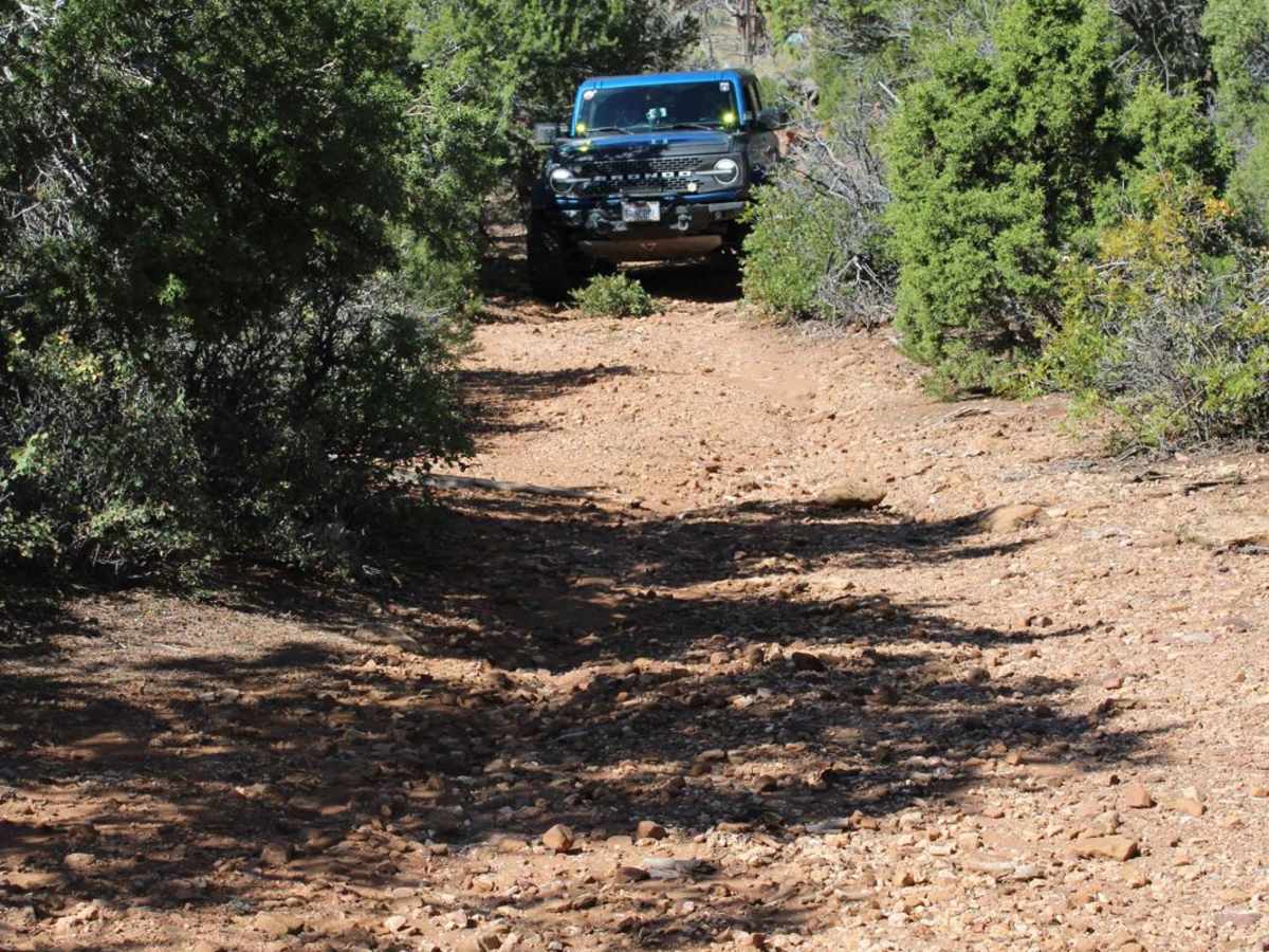
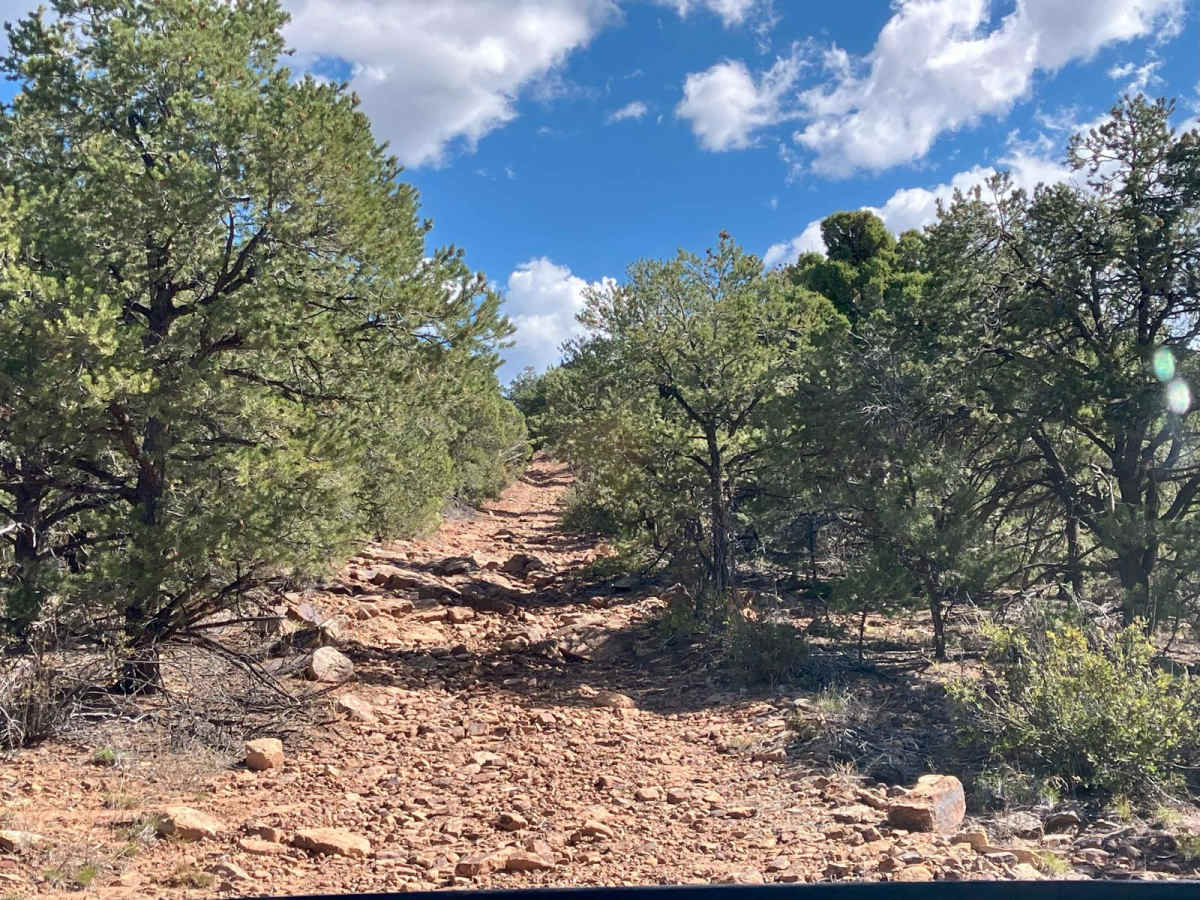
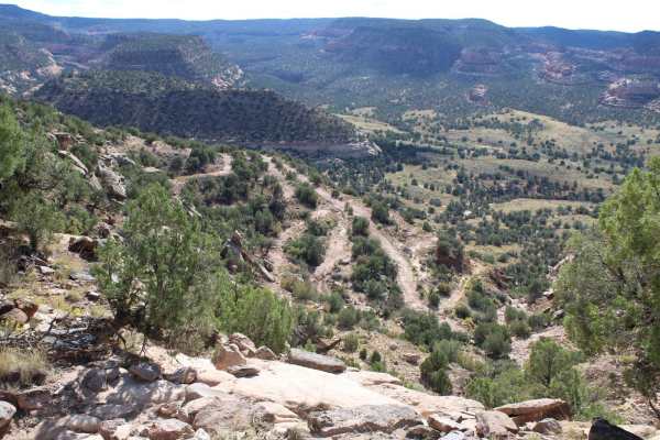
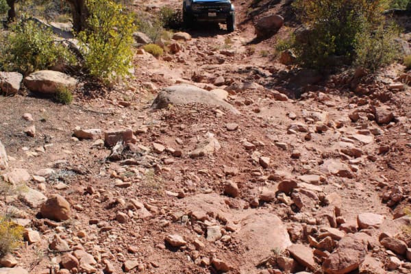
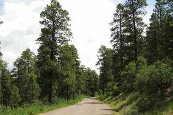
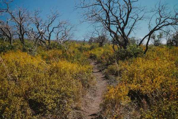
This trail is part of an optional loop route off of the Rimrocker that will bypass the town of Nucla, Colorado. It is a more rugged and challenging alternative across the Uncompahgre plateau that will provide amazing high-elevation views of the area. However, it is steep, narrow, and minimally maintained in sections. The trail area is closed seasonally from December through mid-April, and possibly later depending on the snowpack. If attempting this trail while traveling east on the Rimrocker trail, it will begin west of Nucla as a graded dirt road that soon transitions to a more deteriorated road through a canyon wash area. It then becomes a two-track path for the majority of the trail and will pass often through areas with trees and tight brush. Be aware that vehicles any wider than 72 inches will incur branch pinstriping down both sides along the way through the brush sections due to minimal maintenance and use of the trail. As you climb, there are several sharp switchbacks and areas with larger rocks strewn across the trail that will need to be navigated. Depending on the season and weather, there may be a substantial number of mud holes and several short creeks to cross as well. This section of the optional route ends at Divide Road, which will join up with the main Rimrocker trail again east of Nucla. High clearance and 4WD are recommended. If coming from the east on the Rimrocker trail, follow the Divide Road trail up to the turn-off for West Campbell Road (668) to start this section of the alternate route. Be aware that if you bypass Nucla, this is the nearest town to obtain fuel, so you may need to circle back on the main Rimrocker trail once completing this loop if you need to refill your vehicle. Note: Colorado law requires all unlicensed motor vehicles, including those registered in other states, to display a current Colorado OHV registration or permit. Vehicles with a license plate are required to have an OHV permit if traveling on designated motorized trails. OHV registration and permits can be purchased directly from hunting and fishing license vendors, online through the Colorado State Parks website, from some OHV dealerships, and from some National Forest offices.
Difficulty
This trail has a variety of obstacles including rocky stretches, short steep climbs on deteriorated surfaces, creek and wash crossings, and tight passages through different types of vegetation. Depending on trail and weather conditions, the driving surface may also be slick and muddy, making 4WD a necessity to navigate large portions of this route.
History
This trail is listed on the official Rimrocker trail map, which can be accessed at rimrockertrail.org.