Bureau of Land Management Route 2760

Total Miles2.4
Technical Rating
1Easy
Best TimeSummer, Fall
Trail TypeFull-Width Road
Accessible By
Open Trail Map

Trail Overview

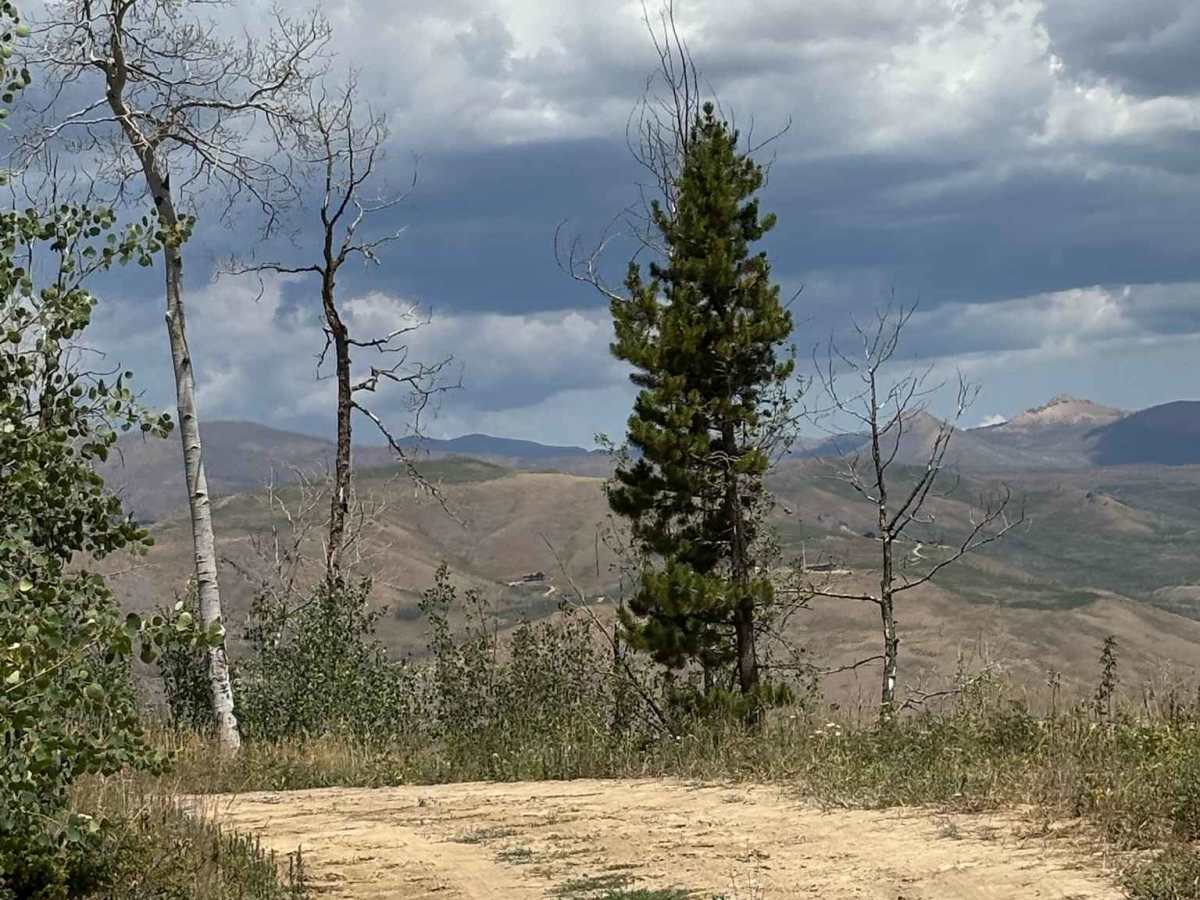
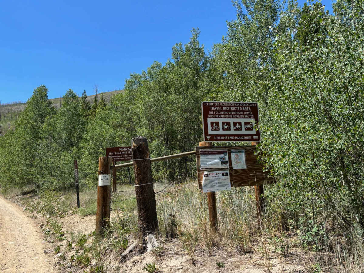
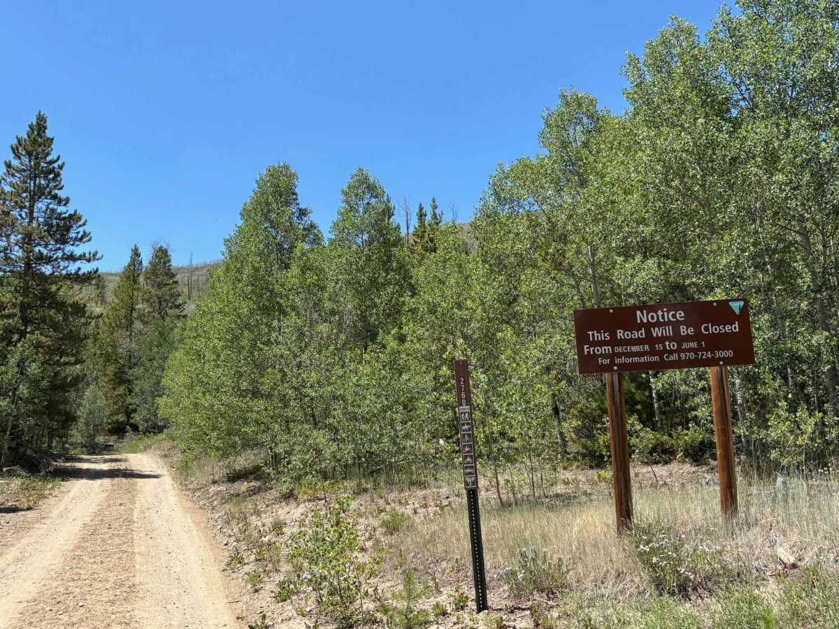
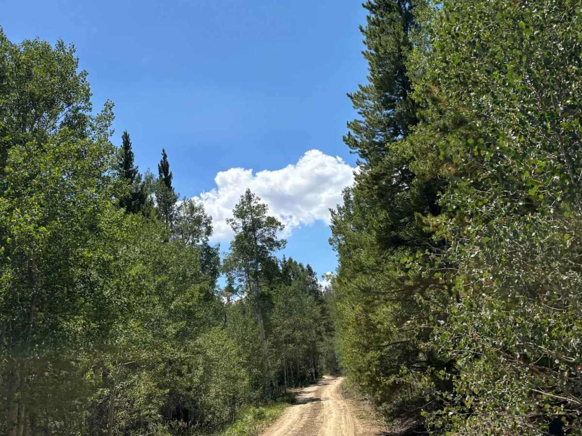
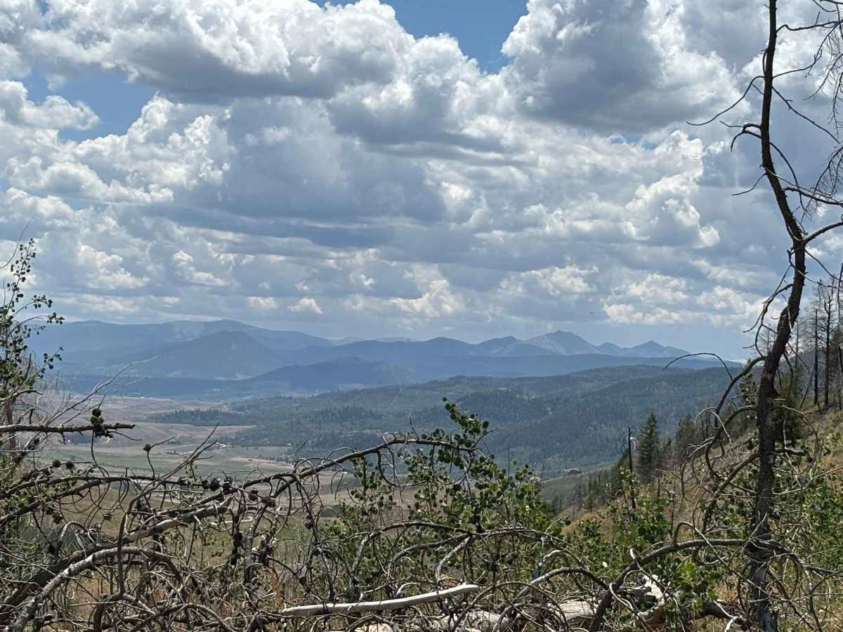
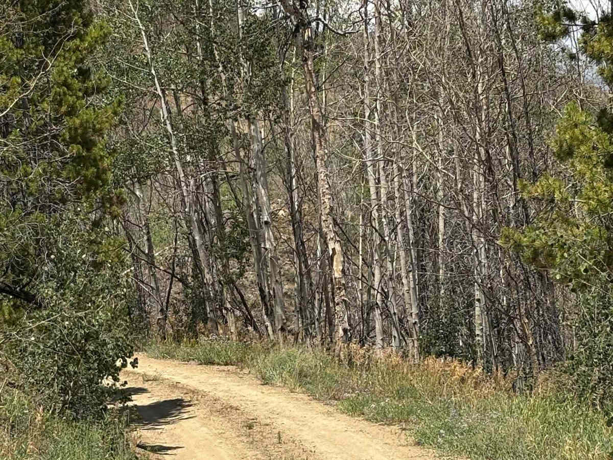
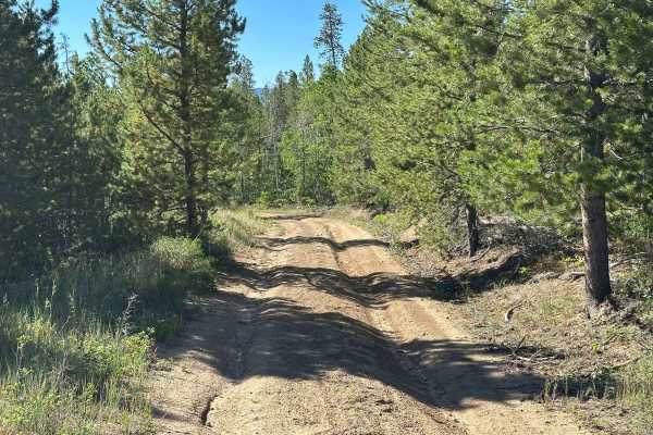
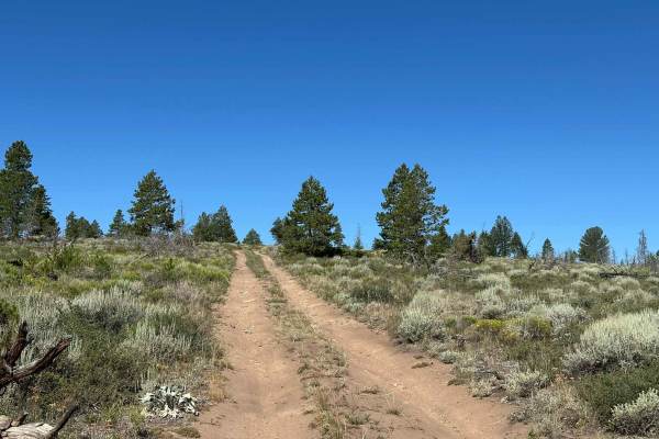
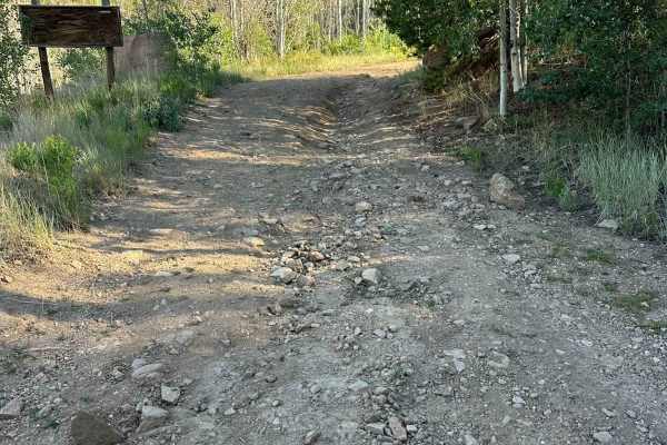
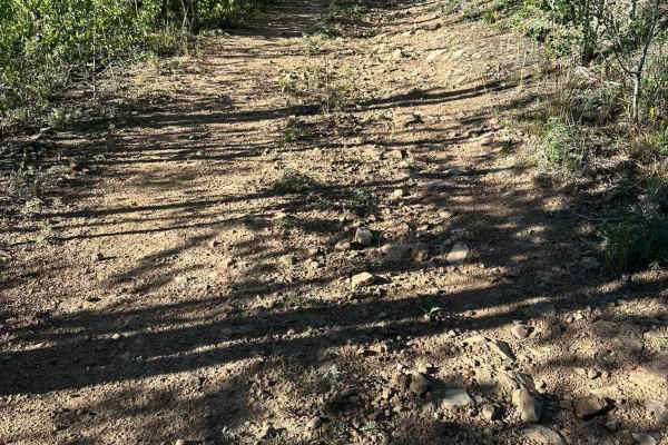
This route climbs onto the ridgeline above Highway 125, providing access to numerous beautiful, secluded dispersed campsites along with sweeping views of the ranches, meadows, and valleys below. While the road itself is relatively straightforward with no obstacles, several sections are steep and can become slick or difficult to navigate during wet or snowy conditions, so use extra caution in poor weather. Note that this trail is closed from December 15th to June 1st.

Photos of Bureau of Land Management Route 2760

Difficulty

Road can be steep at points

Technical Rating

1

Bureau of Land Management Route 2760 Trail can be accessed by the following ride types:

  • Single Track
  • 50 Inch
  • 60 Inch
  • High Clearance
  • Full Width

Bureau of Land Management Route 2760 Map

The onX Offroad Difference

onX Offroad combines trail photos, descriptions, difficulty ratings, width restrictions, seasonality, and more in a user-friendly interface. Available on all devices, with offline access and full compatibility with CarPlay and Android Auto. Discover what you're missing today!

Open Trail Map