Buffalo Peaks Road - 431

Total Miles3
Technical Rating
1Easy
Best TimeSpring, Summer, Fall, Winter
Trail TypeFull-Width Road
Accessible By
Open Trail Map

Trail Overview

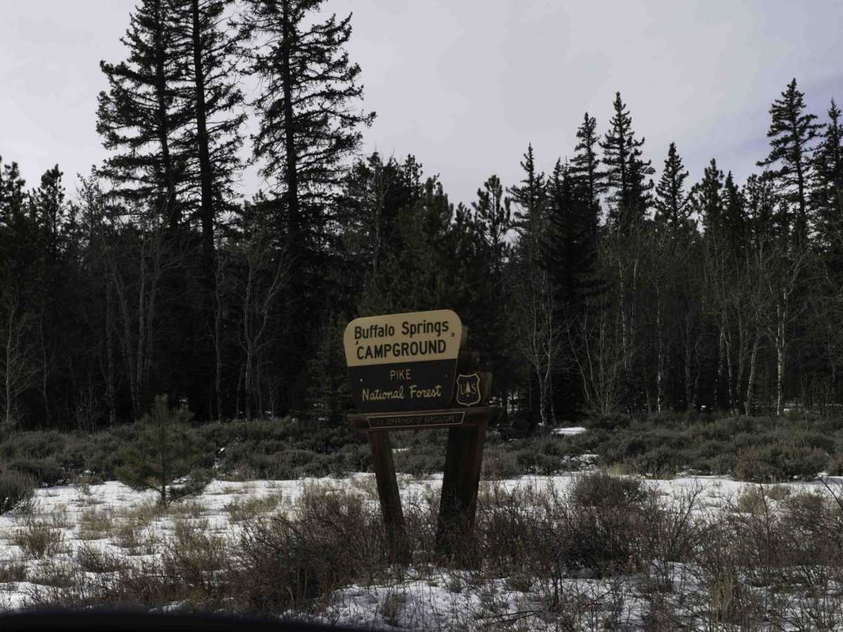
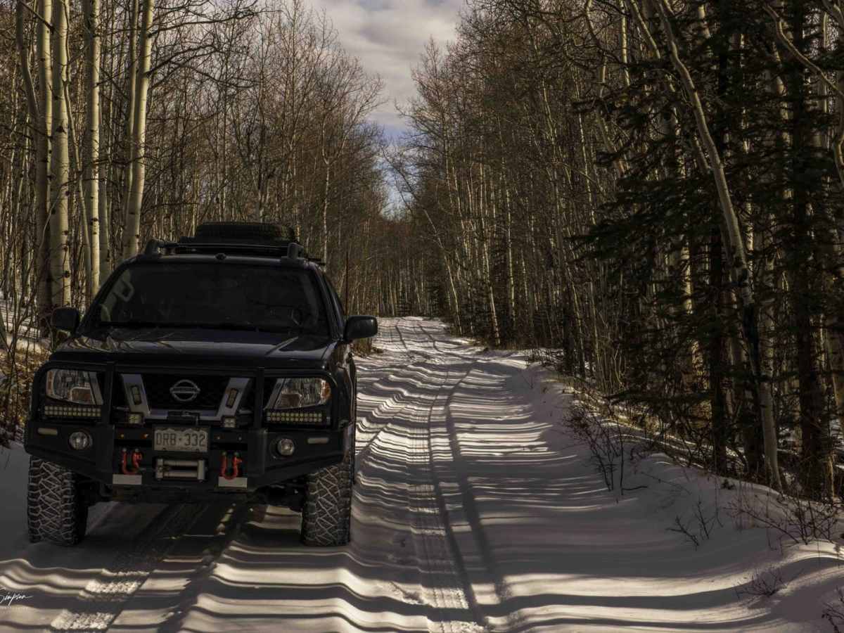
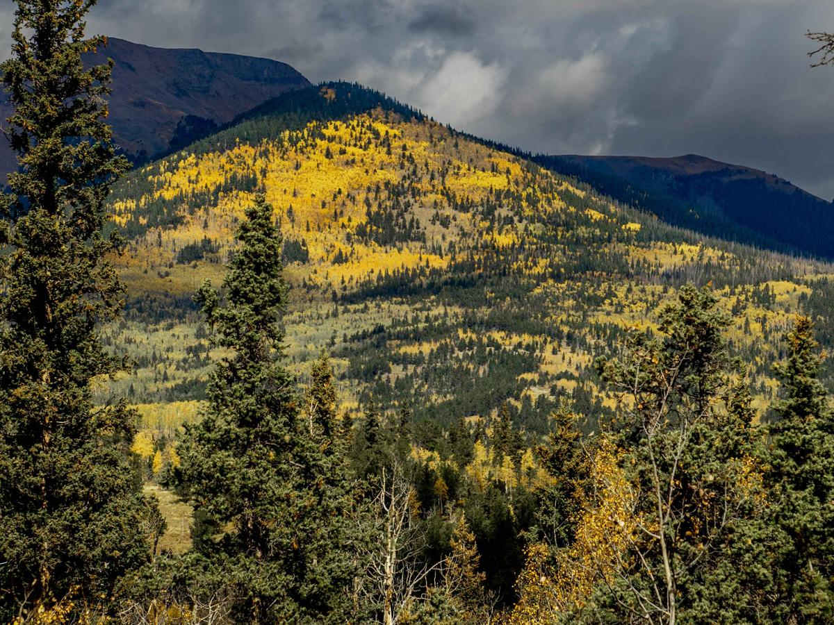
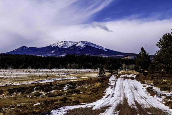
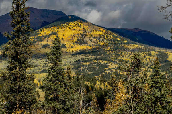
Buffalo Peaks Road - 431 is an easy, scenic dirt route perfect for all vehicle types, offering a gentle drive through open meadows, vibrant aspen groves, and a historic burn scar area. Running for nearly three miles, this trail starts right off US Highway 285, climbing from 9,125 feet up to 9,577 feet with minimal technical difficulty, making it highly accessible for stock SUVs, overland rigs, and off-highway vehicles (OHVs). The path provides a peaceful journey through diverse high-country landscapes, starting with expansive grasslands before transitioning into dense stands of aspens that showcase brilliant colors during the autumn months. The route passes through a section of the forest affected by the 2017 Weston Pass Wildfire, where travelers should exercise caution during high winds due to the risk of falling trees. As a critical wintering area for local wildlife, the trail offers excellent opportunities to spot elk and deer during the colder months, though it is subject to a seasonal closure for wildlife habitat protection from January 1 through June 1. Ground conditions are typically straightforward, however there is no winter maintenance provided along this route.

Photos of Buffalo Peaks Road - 431

Difficulty

The road can get muddy in places after rain, and there is no winter maintenance.

History

A portion of this route passes through a section of the forest impacted by the 2017 Weston Pass Wildfire, offering a firsthand look at forest regeneration and recovery in the years following the burn.

Technical Rating

1

Status Reports

Add Status Report
Mark Chase
May 25, 2025
Temporarily Closed
Steven Barclay
Oct 01, 2024
Open
DustyNormal
Sara B
Jun 23, 2024
2024 Kawasaki KLX140R L
Open
Normal
Sara B
May 28, 2024
Temporarily Closed
Trail Restoration
There was a gate which closed the road literally right after the turn off to the campground. There was no signage prohibiting hikers/bikers (bikers of any kind), both of which would be easily able to go around the gate. There was no way to open the gate (closed with a lock) and forest service truck was nearby (unoccupied and no one around). They had been clearly doing a lot of road maintenance though. I decided to go around since there were no signs explaining anything or prohibiting anybody. Traveled about 2 miles up the road and ran into a dude on his tractor, grading the road. Turned around and decided to explore the little offshoot from 431 (road 432) and WOW what a gorgeous road! There are lots of branches and options from this road - potentially hours of exploring gorgeous trails on the dirtbike!! Stunning scenery. Would've loved to stay and play longer.
Doug Simpson
Oct 08, 2023
Open
Normal

Buffalo Peaks Road - 431 Trail can be accessed by the following ride types:

  • Single Track
  • 50 Inch
  • 60 Inch
  • High Clearance
  • Full Width

Access Description

The route is subject to a seasonal closure from January 1 to June 1 to protect critical wintering habitat for elk and deer. There is no winter maintenance on this road, and travelers should be prepared for muddy conditions after rain.

Buffalo Peaks Road - 431 Map

The onX Offroad Difference

onX Offroad combines trail photos, descriptions, difficulty ratings, width restrictions, seasonality, and more in a user-friendly interface. Available on all devices, with offline access and full compatibility with CarPlay and Android Auto. Discover what you're missing today!

Open Trail Map