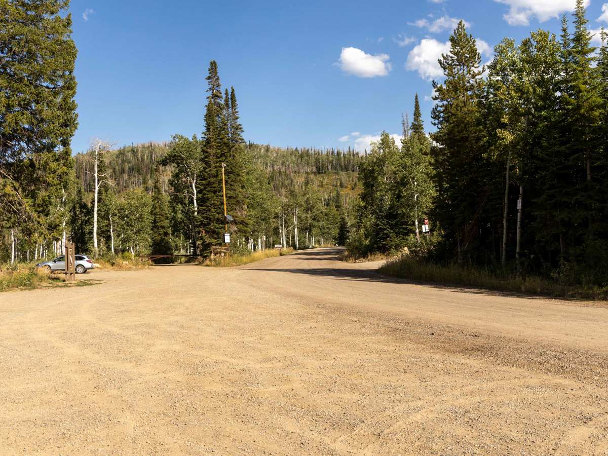
Trail Overview
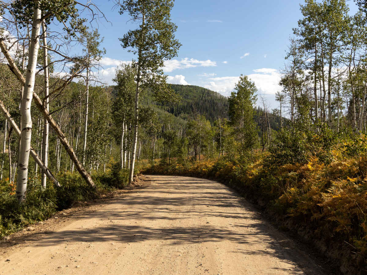
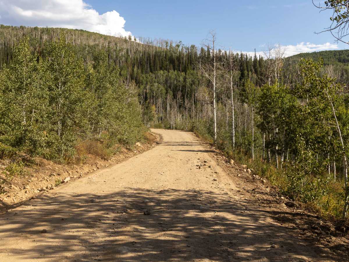
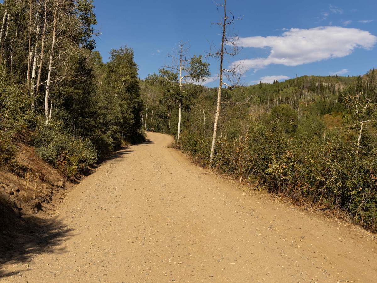
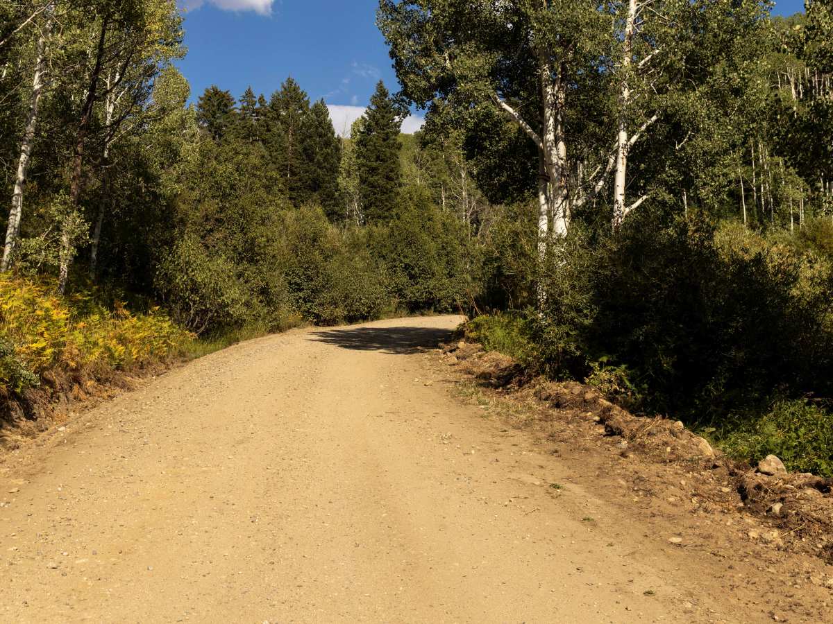
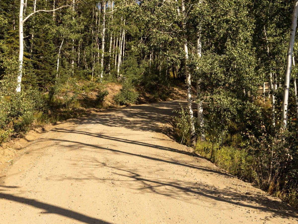
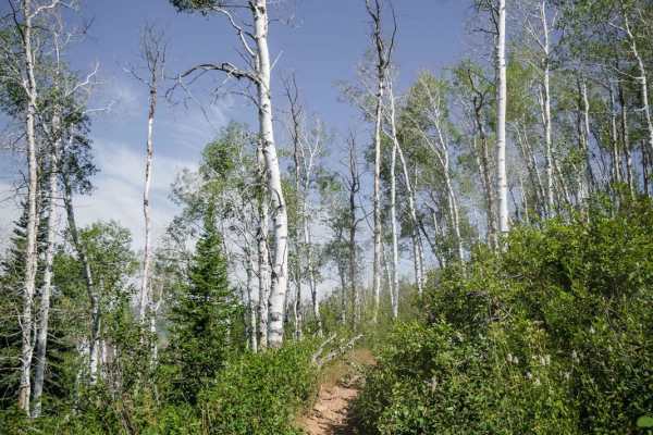
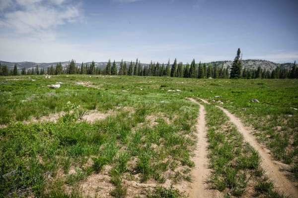
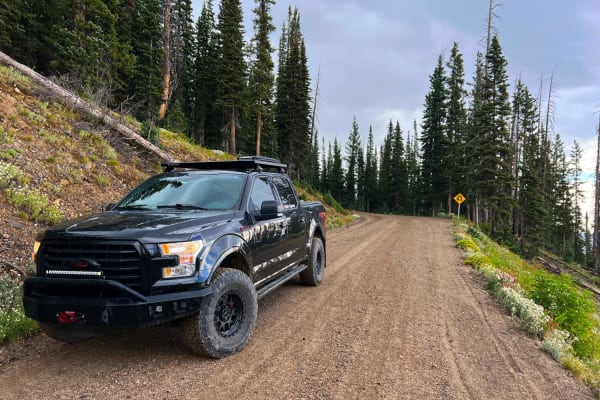
Buffalo Pass begins just outside of Steamboat Springs, climbing steadily into the mountains. The first 7 miles are wide, graded, and easy, making for a smooth drive with minimal challenges. As you gain elevation, the road shifts in character over the last 3 miles, becoming bumpy with rocky stretches and sections of erosion that require slower speeds and more careful driving. Campsites are speckled along the route, and there is a developed campground at the top, making this a popular area for both dispersed and designated camping. The pass is approachable for most high-clearance vehicles. Along the way, you’ll also find several hiking trailheads leading deeper into the Routt National Forest.
Difficulty
Most of this trail is mellow and graded. Near the top, the trail gets bumpier, with more noticeable erosion mixed in. There are no major obstacles along this trail, though some of the erosion might become exacerbated after a moisture event.
History
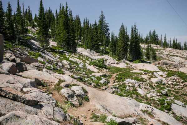
Buffalo Pass has long been a travel corridor between Steamboat Springs and North Park. Its name comes from the herds of bison that once roamed the Yampa Valley before the late 1800s. In the early 20th century, the pass served as a key route for ranchers and hunters before modern highways were constructed. The Civilian Conservation Corps (CCC) worked on portions of the road during the 1930s, helping to improve access into the high country. Today, Buffalo Pass is a summer-only route, typically opening in late June after snowmelt, and it remains one of the most popular gateways for recreation in the region thanks to its high-alpine lakes, wildflower meadows, and network of backcountry trails.