Trail Overview
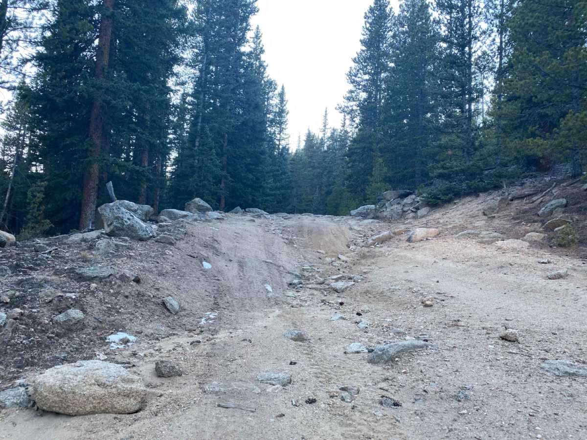
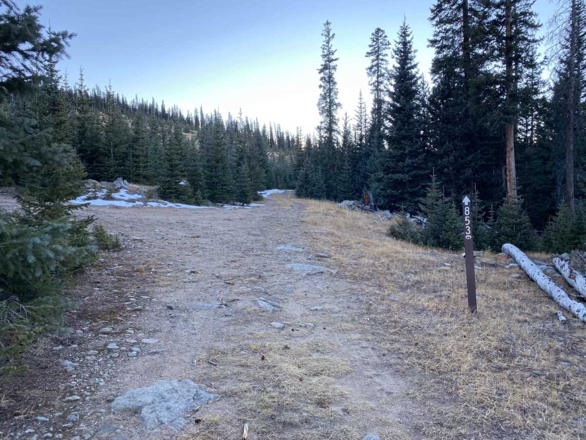
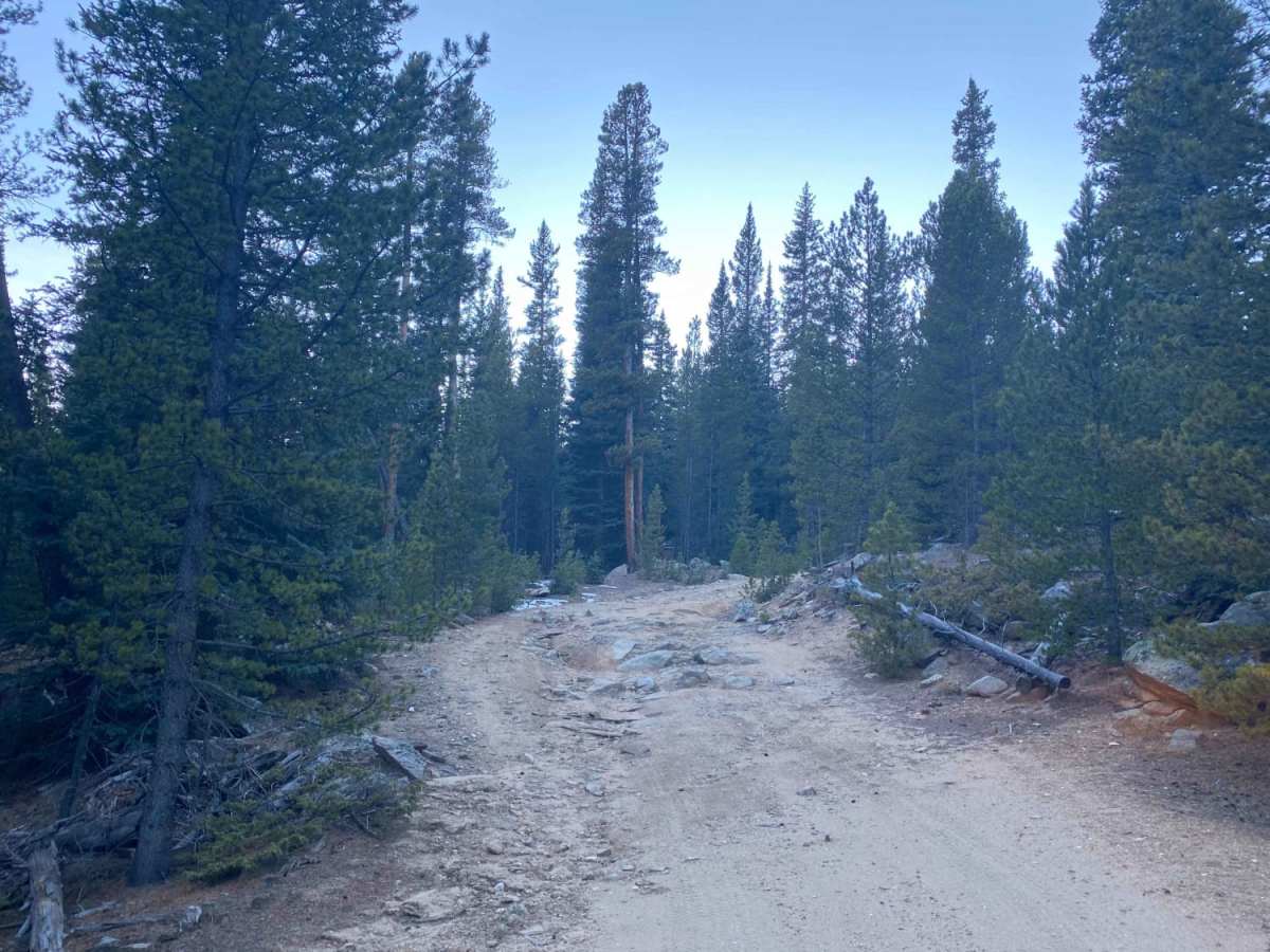
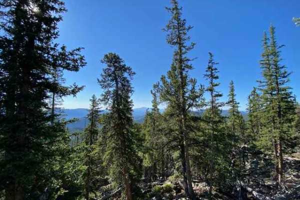
Bonis Creek Trail 853 is an engaging and moderately challenging route in Pike National Forest, offering four-wheel-drive enthusiasts scenic mountain terrain and a solid test of line selection. Branching south off Lost Park Road (County Road 56) in Park County, Colorado, this 2.5-mile trail winds through a high-altitude conifer forest near Topaz Mountain and the Tarryall Mountains. The track climbs from an elevation of approximately 10,055 feet at the northern trailhead to 10,883 feet at the southern end, climbing over 800 feet. It features a technical rating of 4, presenting drivers with a series of narrow passages, deep ruts, and rock obstacles measuring between 12 and 18 inches. High-clearance four-wheel-drive vehicles and SxSs will find the terrain highly manageable, while stock 4x4 vehicles will require a skilled and patient driver to successfully navigate the rougher sections without scraping.
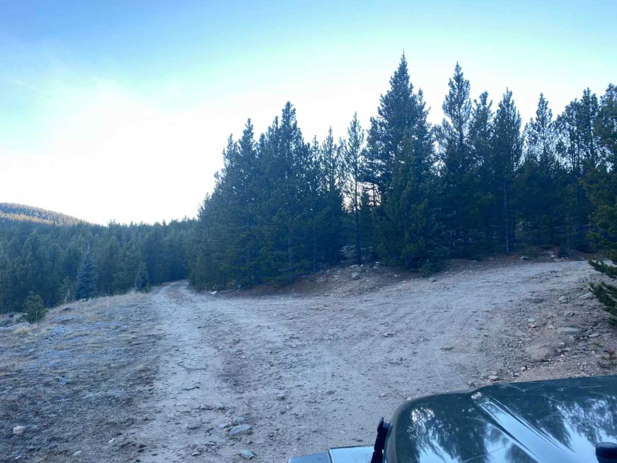
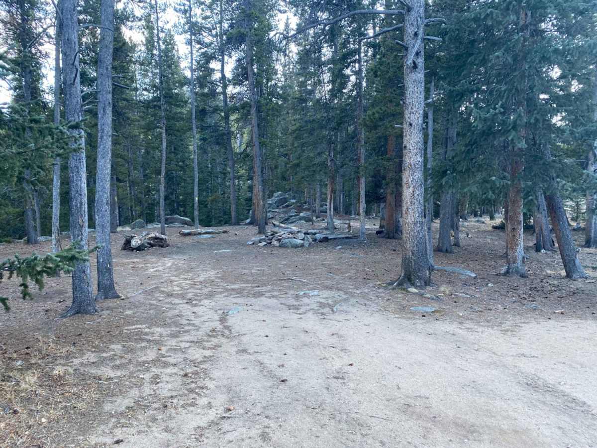
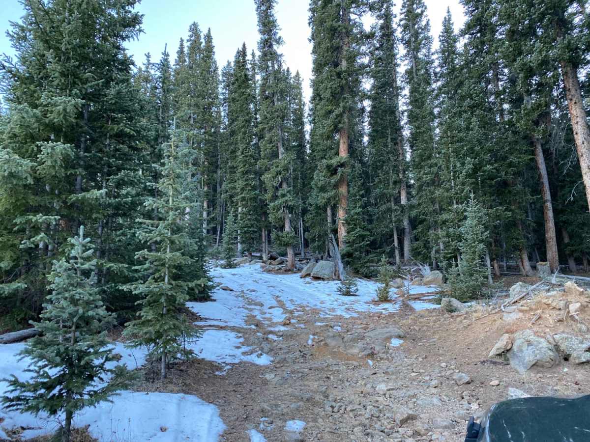
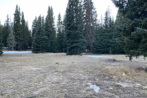
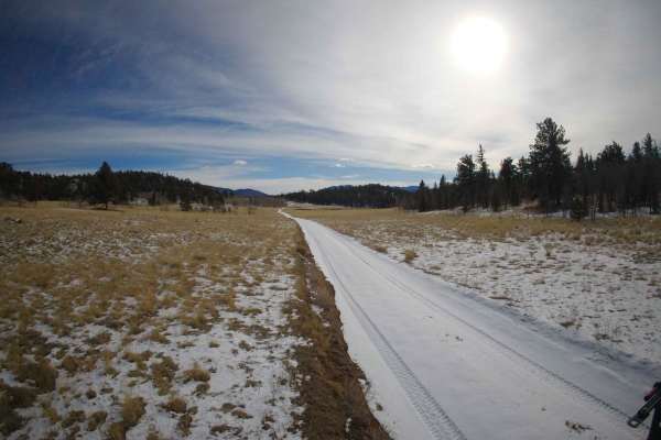
The trail consists of a primarily dirt and rock surface that can become muddy and slick during wet summer afternoons or late spring snowmelt. Drivers should remain alert for limited passing space, as many sections are narrow with only a few wider spots suitable for pulling over to let oncoming traffic pass. For those looking to extend their stay in the Rocky Mountain backcountry, several dispersed camping areas are scattered along the route, providing quiet spots to set up camp under the pines. Given its high elevation, the trail is typically best visited from late spring through autumn, before heavy winter snowpacks make the area impassable. Visitors can also explore nearby recreational opportunities, including hiking in the adjacent wilderness areas or exploring connecting forest service roads.

 Offroad