BLM 8463D

Total Miles1.4
Technical Rating
3Easy
Best TimeSummer
Trail TypeFull-Width Road
Accessible By
Open Trail Map

Trail Overview

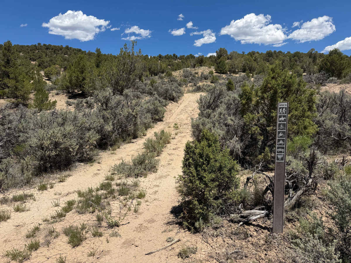
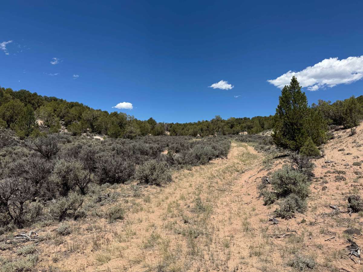
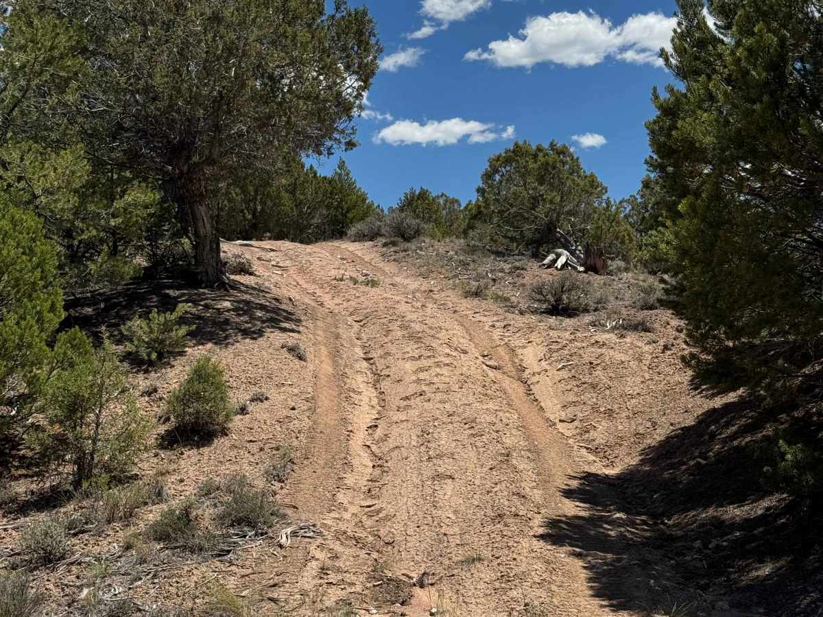
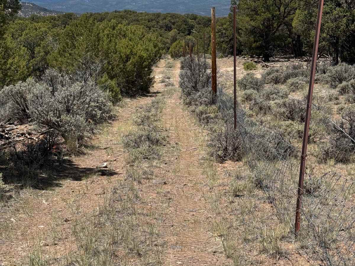
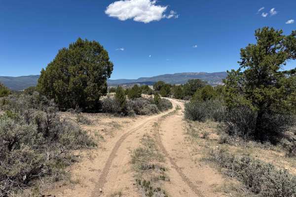
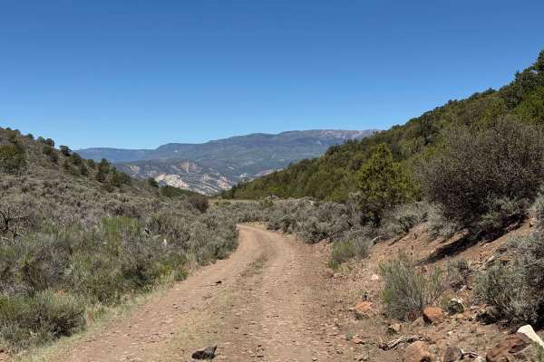
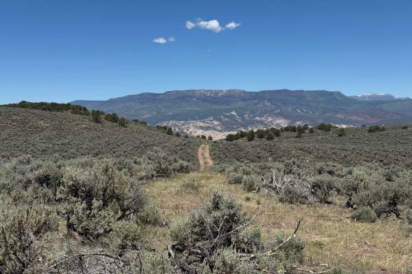
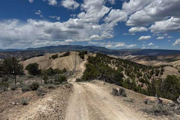
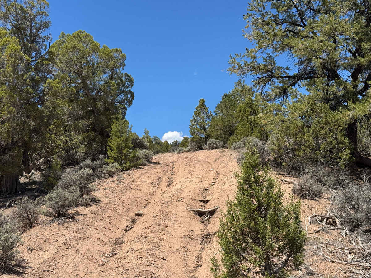
This scenic route begins with a winding climb to the top of a small mountain, featuring a few moderately steep sections with loose rocks and rain ruts that require careful tire placement. Near the summit, the trail follows a fence line for approximately half a mile before descending back to the main road. Expansive views can be enjoyed throughout the drive, making this a rewarding and enjoyable route. In dry conditions, the trail is generally considered easy; however, 4WD is necessary to navigate the steeper sections safely and comfortably.

Photos of BLM 8463D

Difficulty

This trail is not particularly difficult in dry conditions; however, it does contain a few deceptively challenging sections that will likely require 4WD. Several narrow stretches along a fence line may be restrictive for larger vehicles. Aside from these obstacles, the route is generally straightforward and should present few issues when conditions are dry.

Technical Rating

3

BLM 8463D Trail can be accessed by the following ride types:

  • Single Track
  • 50 Inch
  • 60 Inch
  • High Clearance
  • Full Width

BLM 8463D Map

The onX Offroad Difference

onX Offroad combines trail photos, descriptions, difficulty ratings, width restrictions, seasonality, and more in a user-friendly interface. Available on all devices, with offline access and full compatibility with CarPlay and Android Auto. Discover what you're missing today!

Open Trail Map