BLM 24

Total Miles3.2
Technical Rating
1Easy
Best TimeSpring, Summer, Fall
Trail TypeFull-Width Road
Accessible By
Open Trail Map

Trail Overview

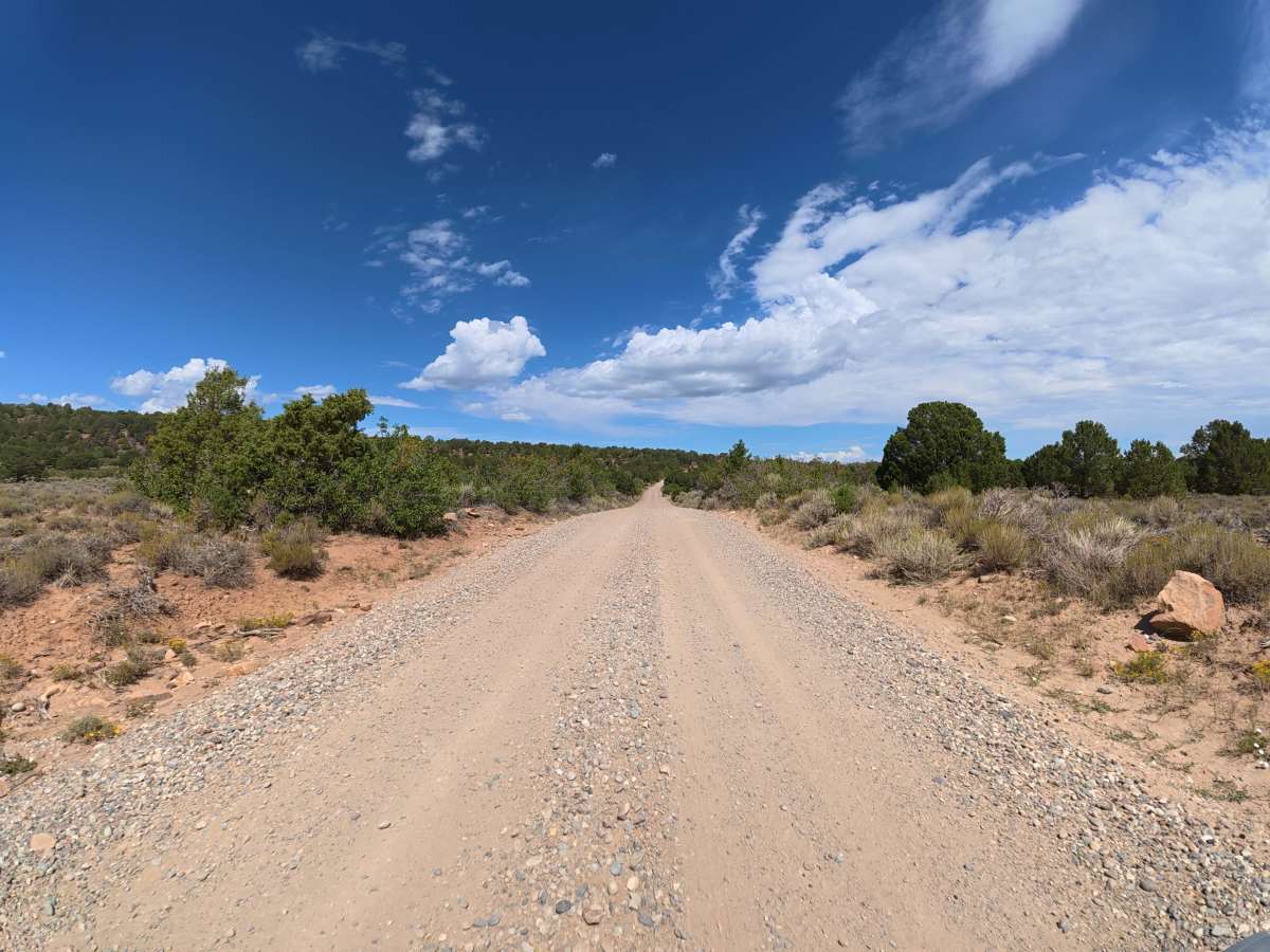
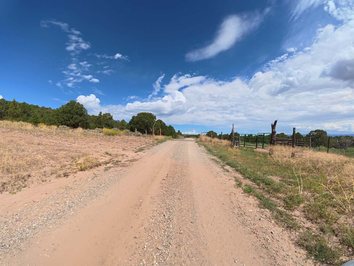
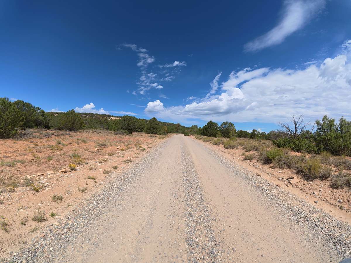
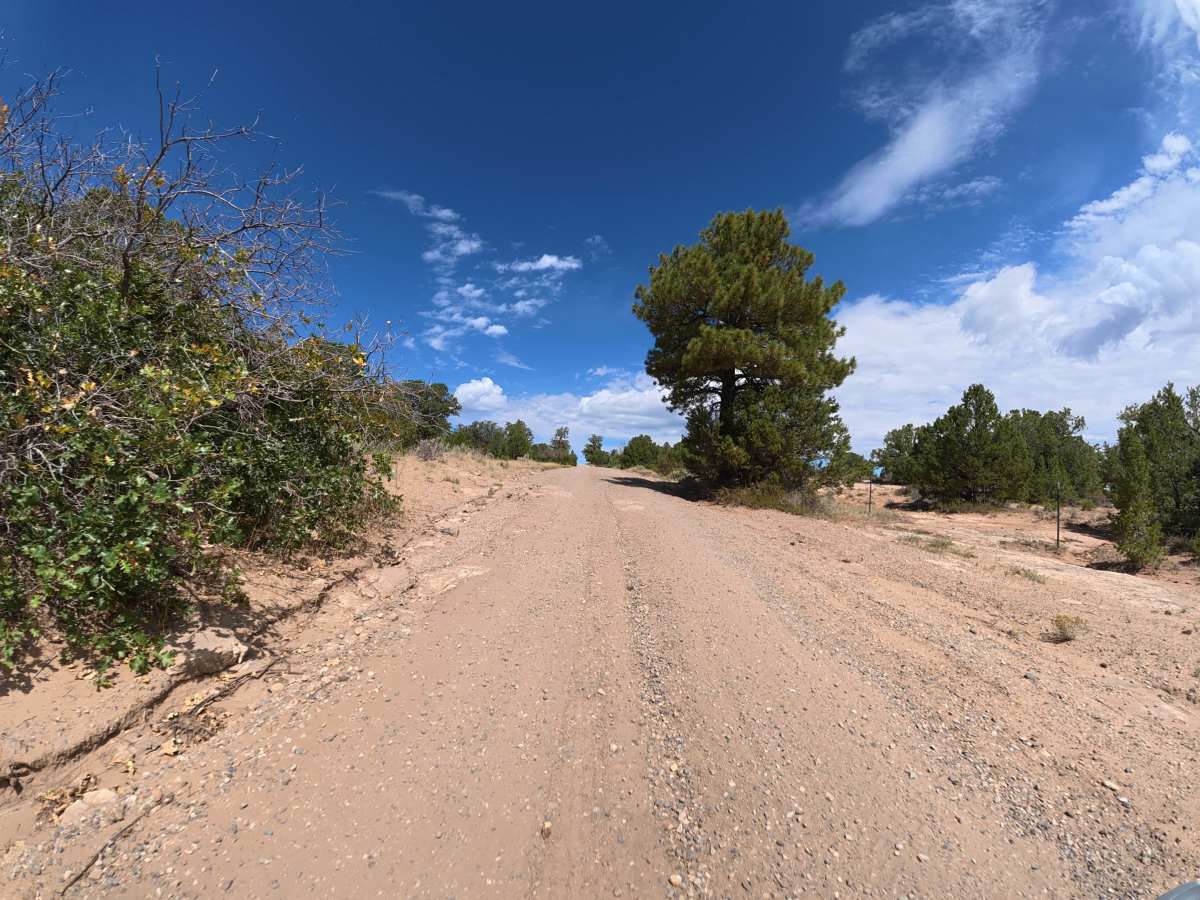
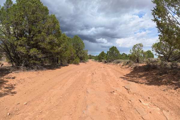
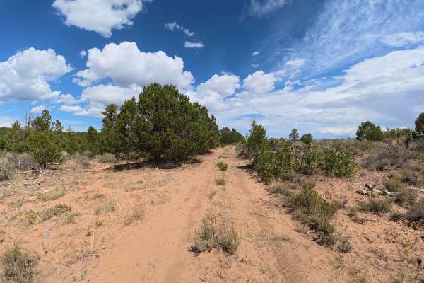
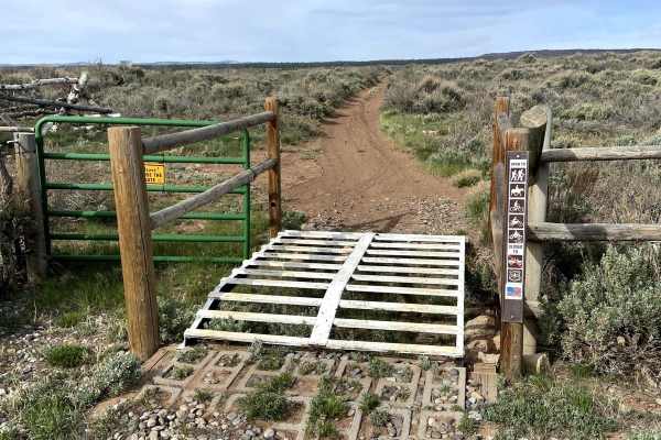
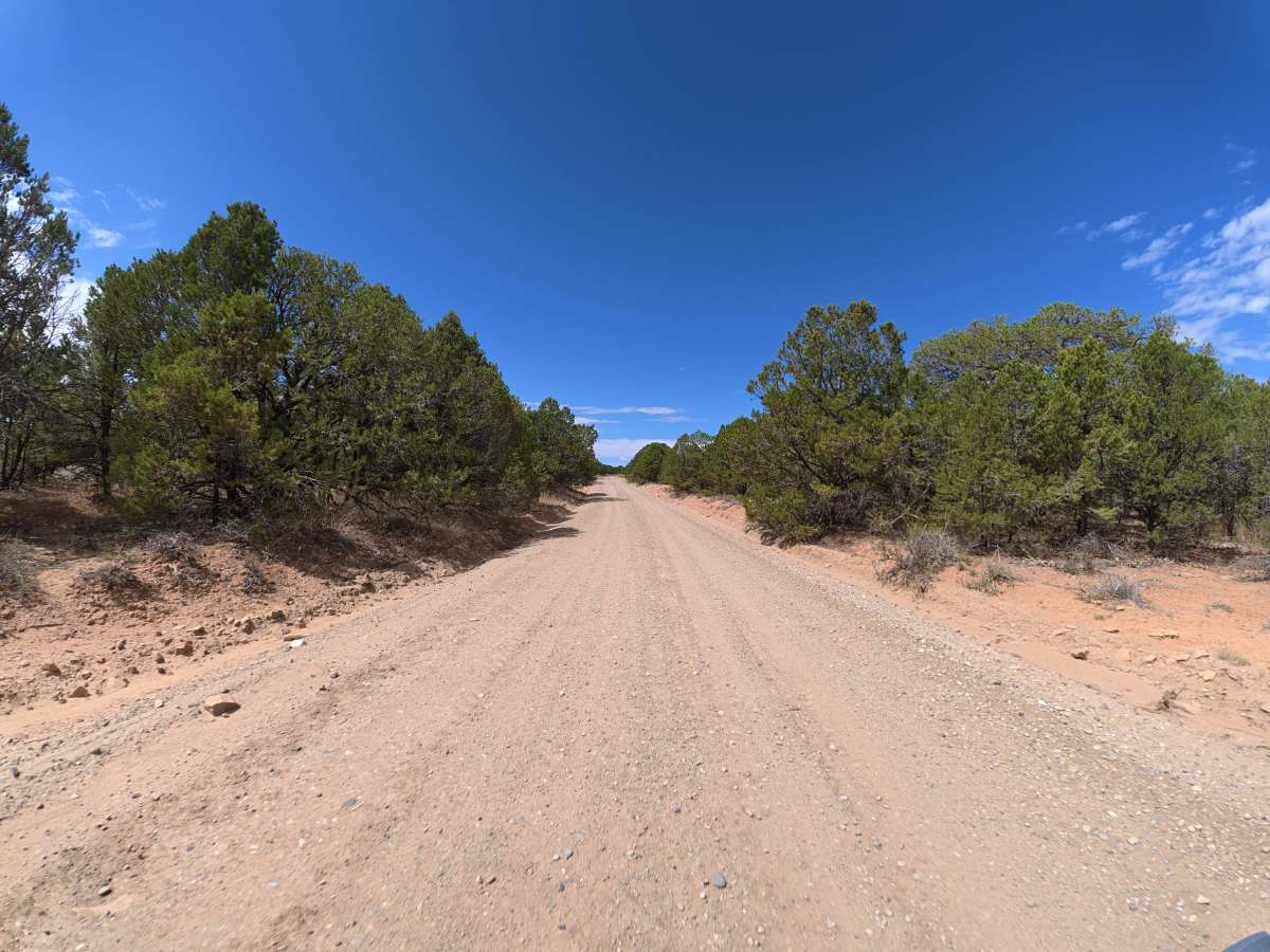
This easy, well-maintained route begins after Tabegauche Trail to Upper Big Dominguez and consists mostly of dirt and gravel. The road is double-wide with plenty of room for vehicles to pass, and there are 20+ dispersed campsites along the route ranging from two to 12 vehicles, many offering level ground, fire rings, and excellent views. The trail ends at Divide Road and provides access to several other trails in the area. The trail is van, trailer, and RV friendly, making it a great option for larger groups and vehicles.

Photos of BLM 24

Difficulty

This trail is wide, well-maintained, and has no significant obstacles or challenging terrain. It is suitable for virtually any vehicle, including vans, trailers, and RVs.

History

Gibbler Mountain exposes a remarkable sequence of Jurassic rock layers, including the Kayenta, Entrada, Summerville, and basal Morrison formations, preserving evidence of changing environments roughly 145–200 million years ago. The area is also known for dinosaur and pterosaur tracksites, including theropod footprints documented since the 1970s and additional tracks discovered around Gibbler Mountain in the 1990s and 2011.

Technical Rating

1

BLM 24 Trail can be accessed by the following ride types:

  • Single Track
  • 50 Inch
  • 60 Inch
  • High Clearance
  • Full Width

BLM 24 Map

The onX Offroad Difference

onX Offroad combines trail photos, descriptions, difficulty ratings, width restrictions, seasonality, and more in a user-friendly interface. Available on all devices, with offline access and full compatibility with CarPlay and Android Auto. Discover what you're missing today!

Open Trail Map