Trail Overview
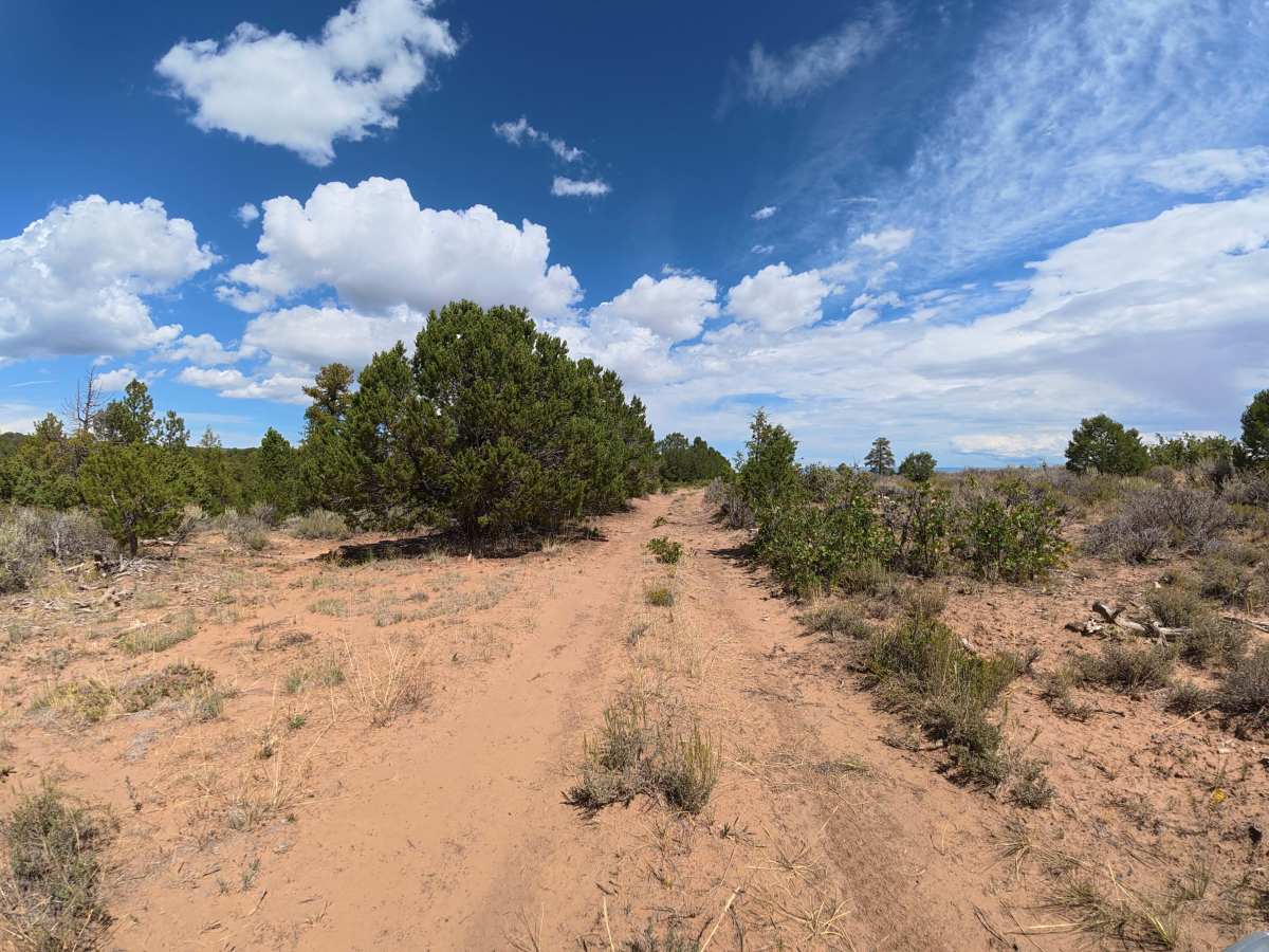
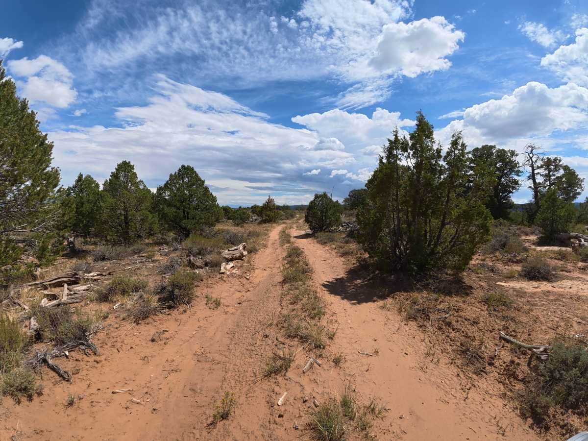
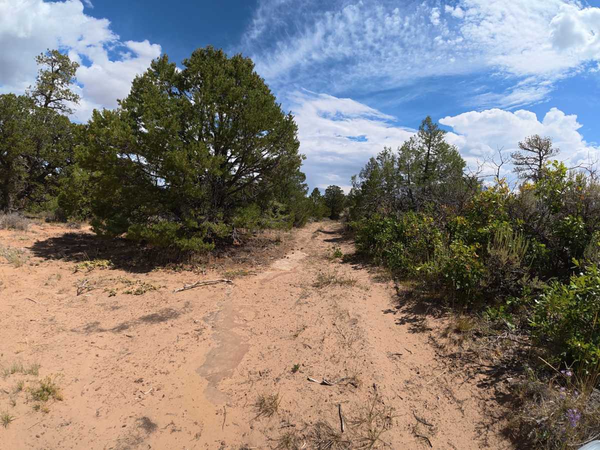
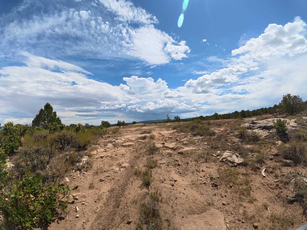
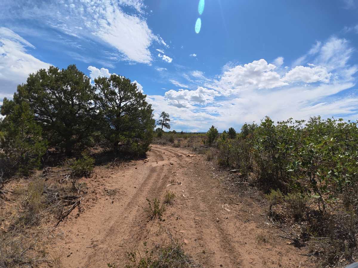
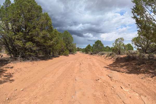
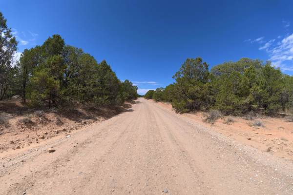
This short, scenic trail consists of fine red dirt that can become extremely difficult when wet. The single-width route begins with up to 4-inch ruts, with a campsite for up to three vehicles at 0.2 miles. Beyond the campsite, the trail becomes much tighter with heavy overgrowth and nearly unavoidable pinstriping, along with 8–10-inch ruts, rock ledges, washouts, and rock gardens.
Be especially cautious of the cactus growing close to the trail, which could puncture tires. This is a one-way-in, one-way-out route, so drivers looking to avoid pinstriping should consider turning around at the first campsite.
Difficulty
This trail has 8–10-inch ruts, rock ledges, washouts, and increasingly tight vegetation. The technical terrain is manageable, but the narrow route, unavoidable pinstriping, and nearby cactus require extra caution.
History
Gibbler Mountain exposes a remarkable sequence of Jurassic rock layers, including the Kayenta, Entrada, Summerville, and basal Morrison formations, preserving evidence of changing environments roughly 145–200 million years ago. The area is also known for dinosaur and pterosaur tracksites, including theropod footprints documented since the 1970s and additional tracks discovered around Gibbler Mountain in the 1990s and 2011.


 Offroad