Wilson Creek

Total Miles2
Technical Rating
2Easy
Best TimeSpring, Summer, Fall
Trail TypeFull-Width Road
Accessible By
Open Trail Map

Trail Overview

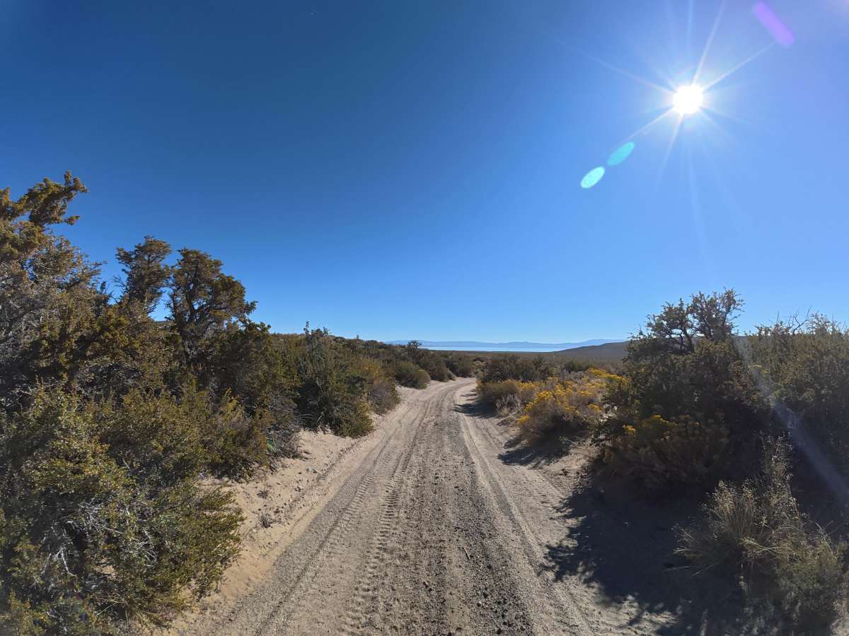
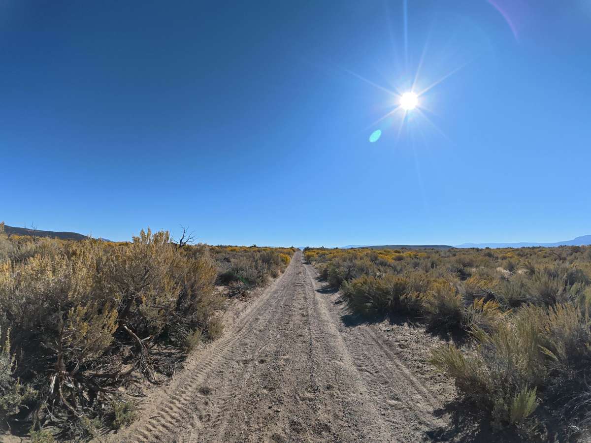
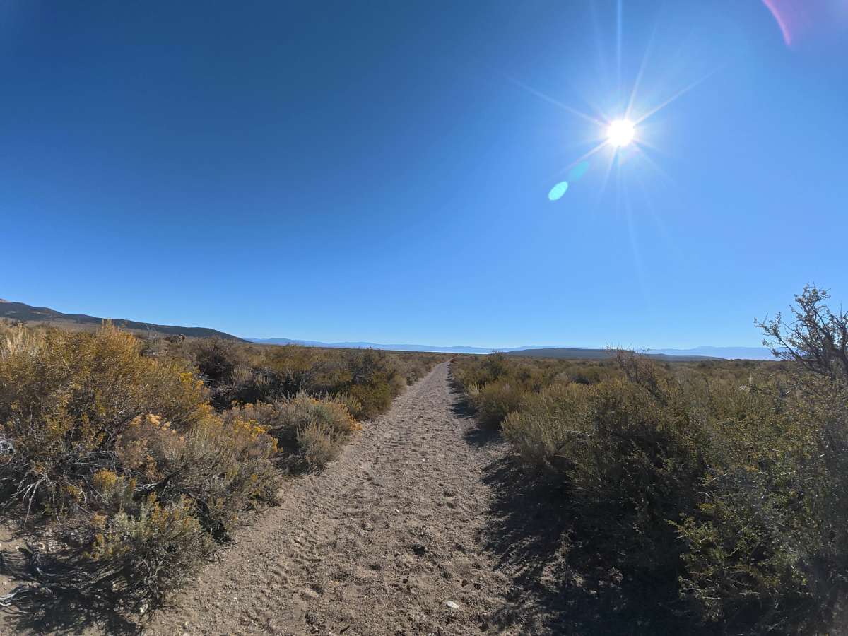
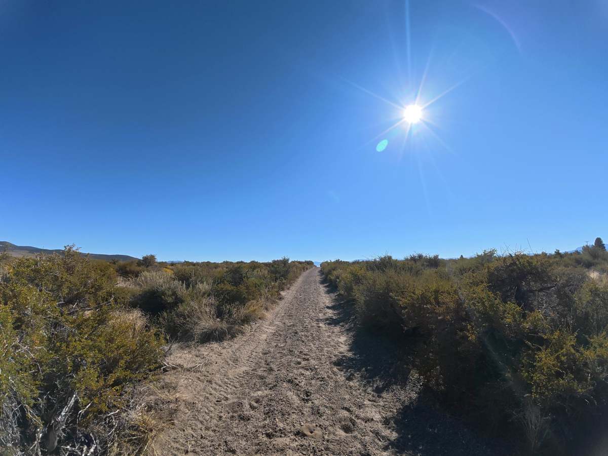
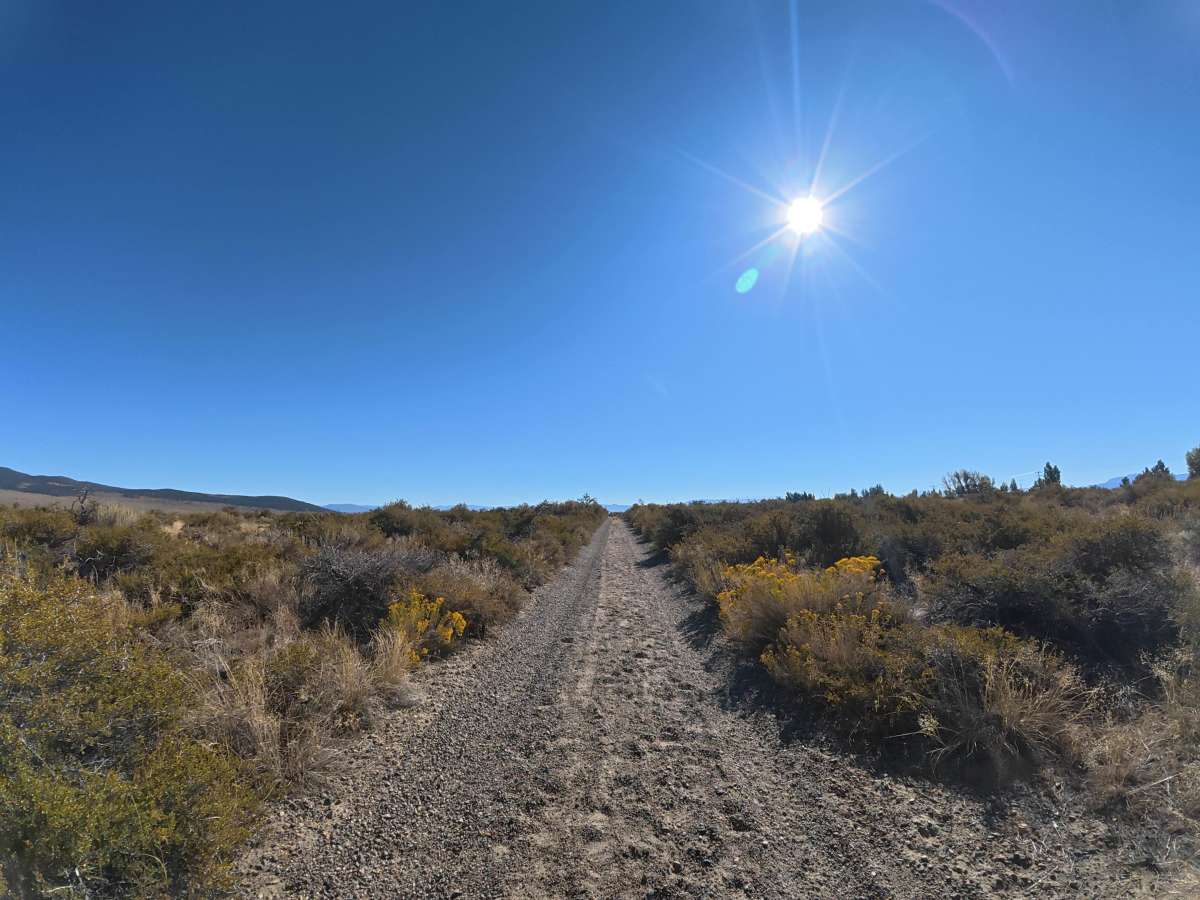
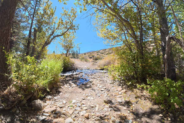
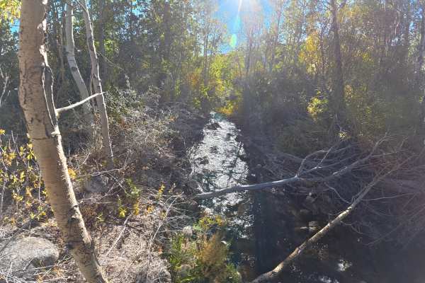
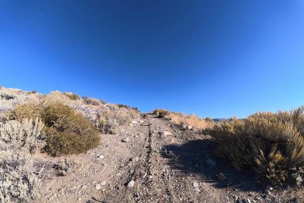
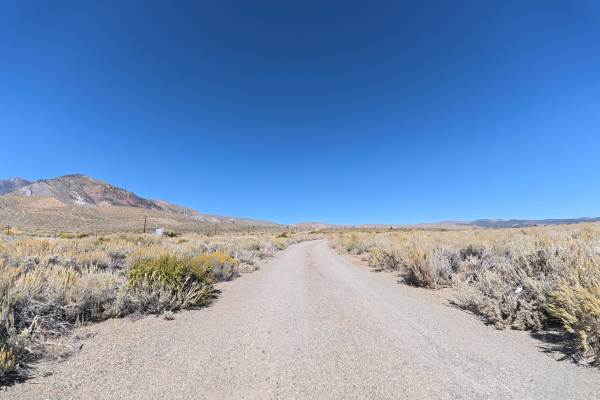
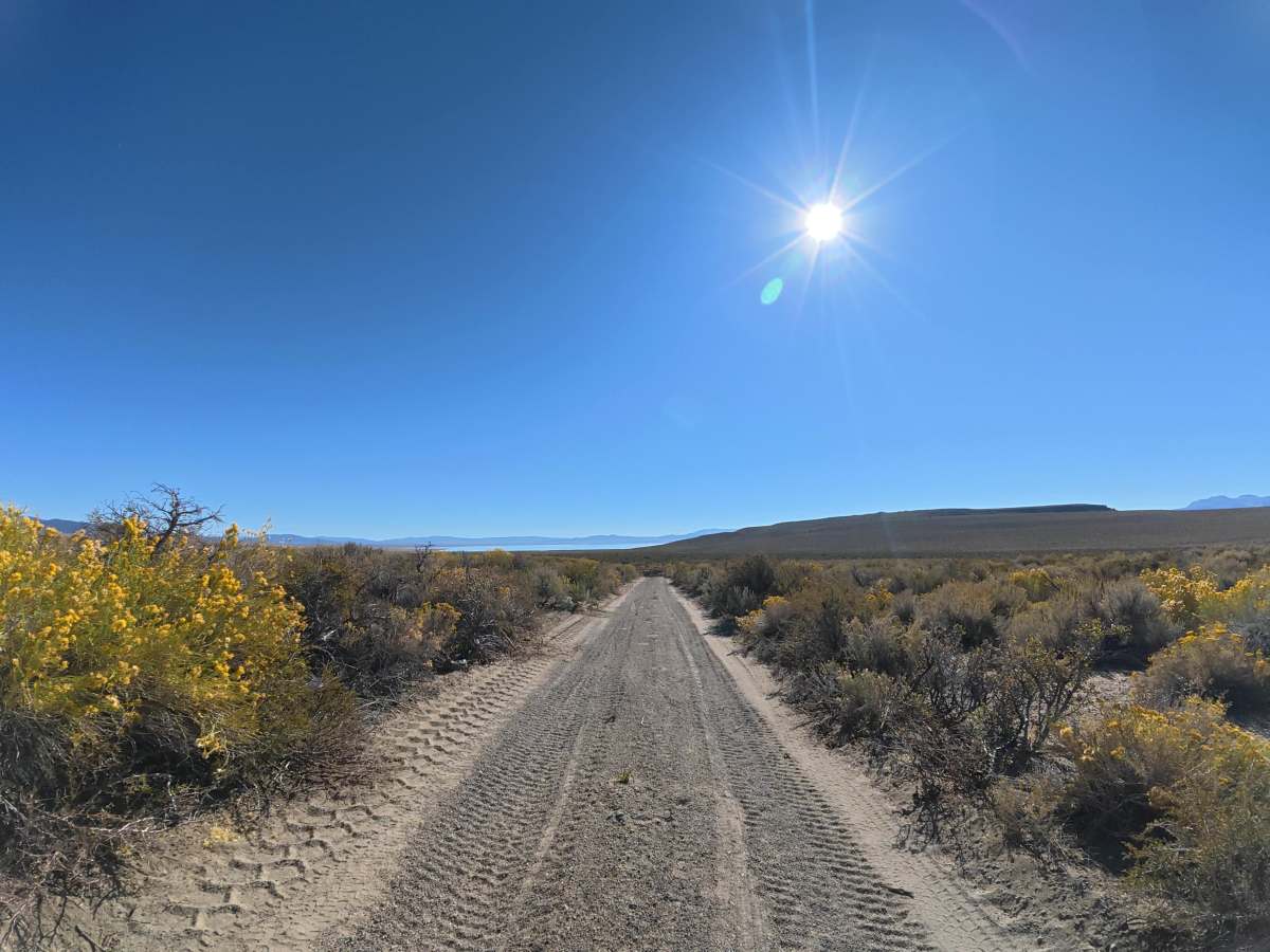
This fine dirt-and-gravel trail begins in the Mono City neighborhood, with BLM access through an empty lot between two homes. The route transitions from BLM land into Inyo National Forest around 0.8 miles, offering scenic views of Mono Lake and the surrounding mountains along the way. The trail is very narrow with little room for vehicles to pass, and heavy overgrown vegetation makes pinstriping highly likely. Around 1.5 miles, expect 8–10 inch ruts and whoops. The surface can become more difficult when wet.

Photos of Wilson Creek

Difficulty

This trail is rated Level 2 because of the narrow terrain, heavy vegetation, and 8–10 inch ruts and whoops. There are no significant rock ledges or other major obstacles.

Technical Rating

2

Wilson Creek Trail can be accessed by the following ride types:

  • Single Track
  • 50 Inch
  • 60 Inch
  • High Clearance
  • Full Width

Wilson Creek Map

The onX Offroad Difference

onX Offroad combines trail photos, descriptions, difficulty ratings, width restrictions, seasonality, and more in a user-friendly interface. Available on all devices, with offline access and full compatibility with CarPlay and Android Auto. Discover what you're missing today!

Open Trail Map