FS 2N104

Total Miles1.2
Technical Rating
2Easy
Best TimeSpring, Summer, Fall
Trail TypeFull-Width Road
Accessible By
Open Trail Map

Trail Overview

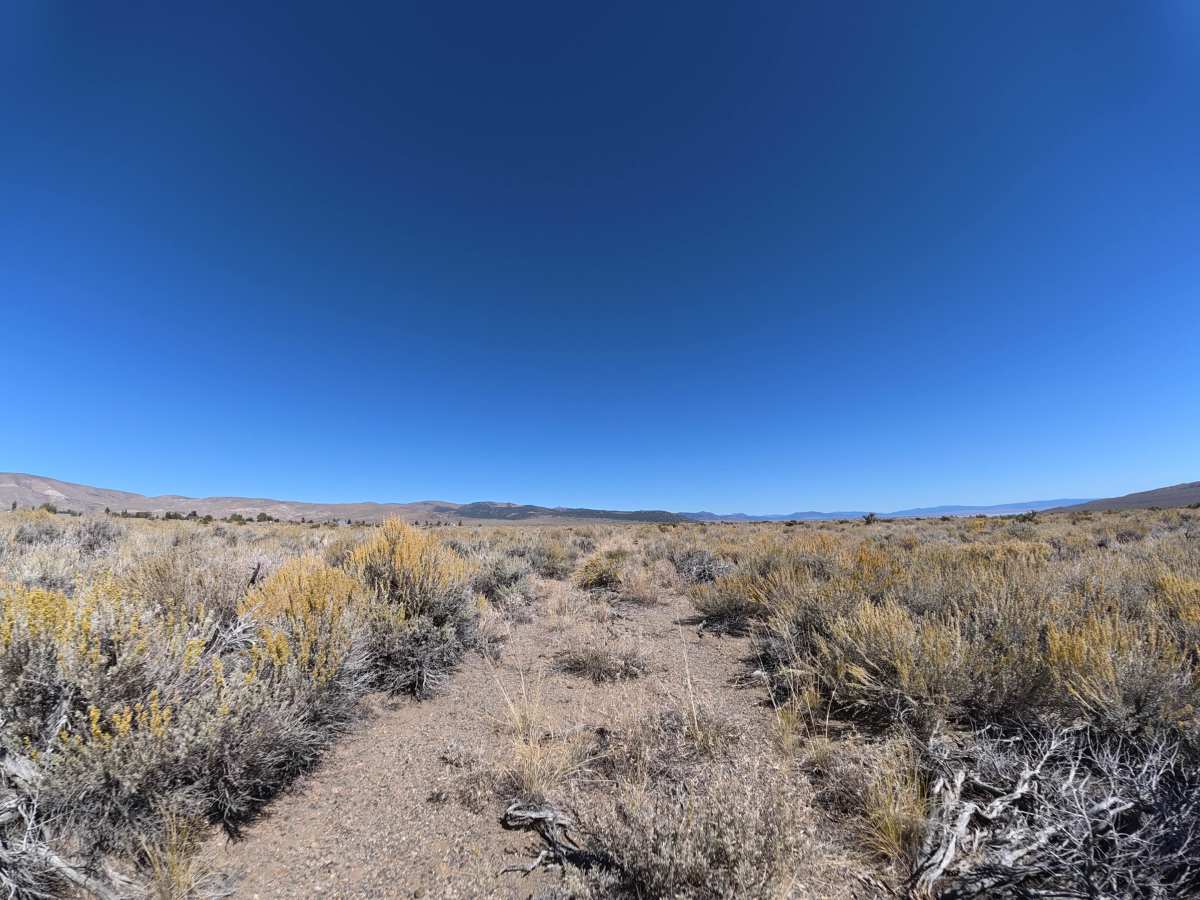
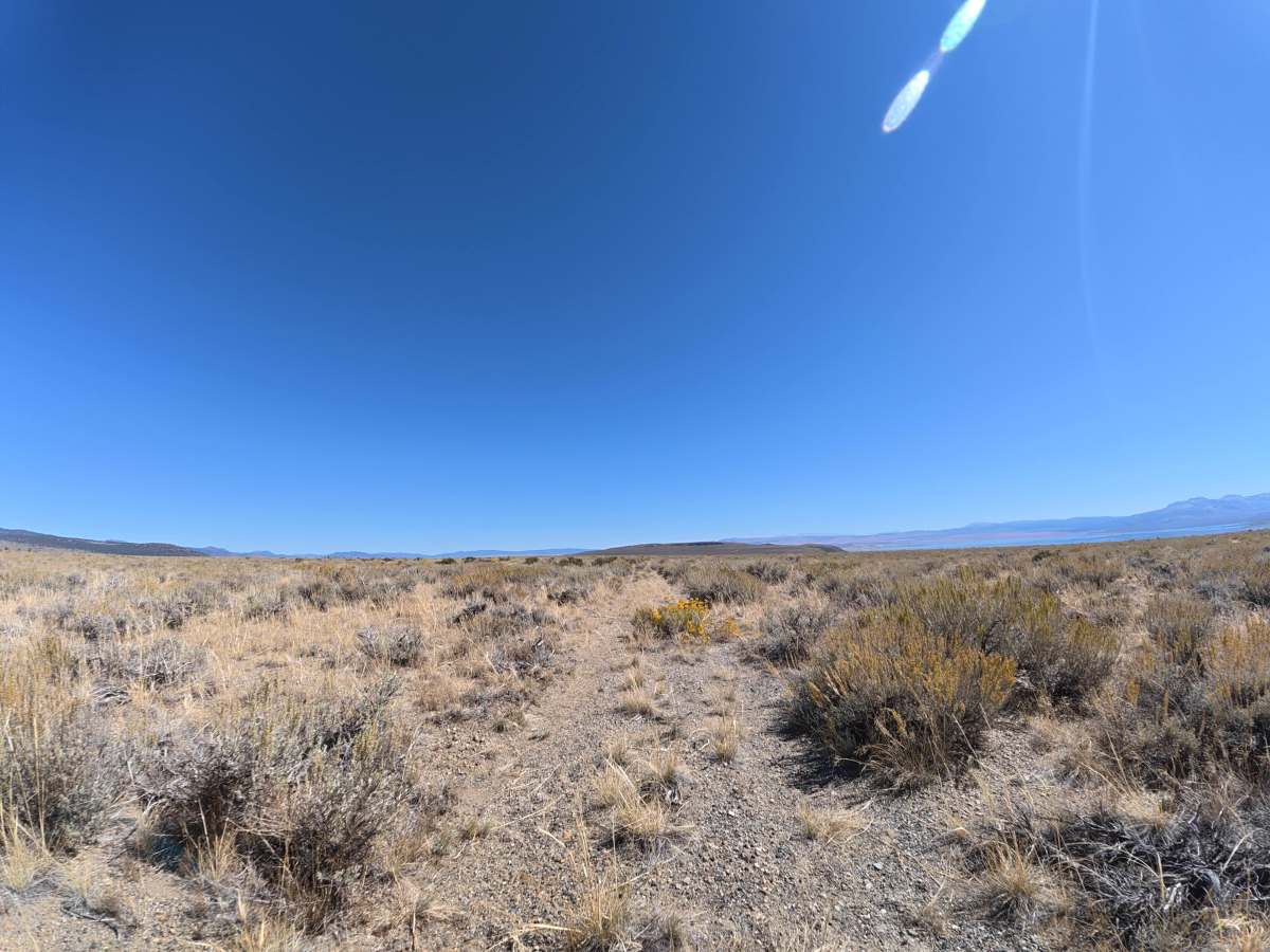
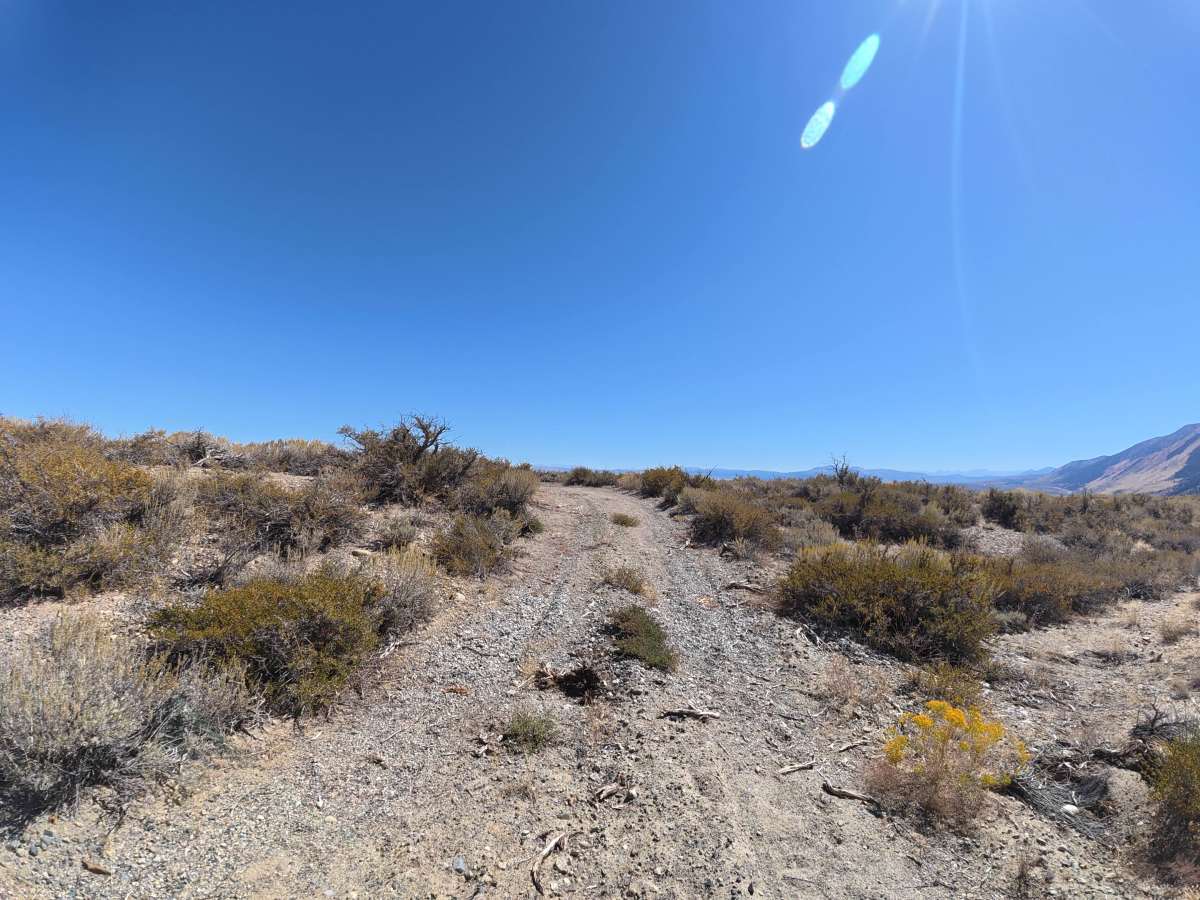
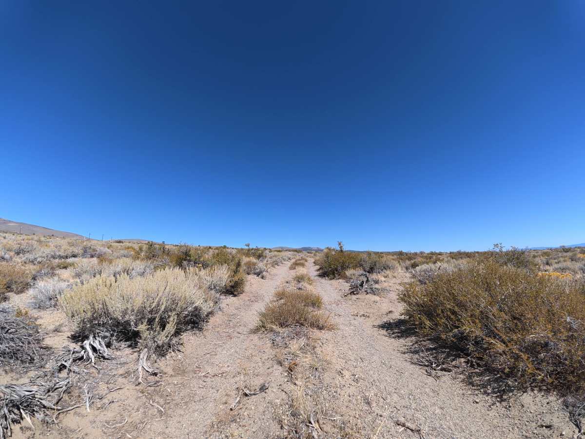
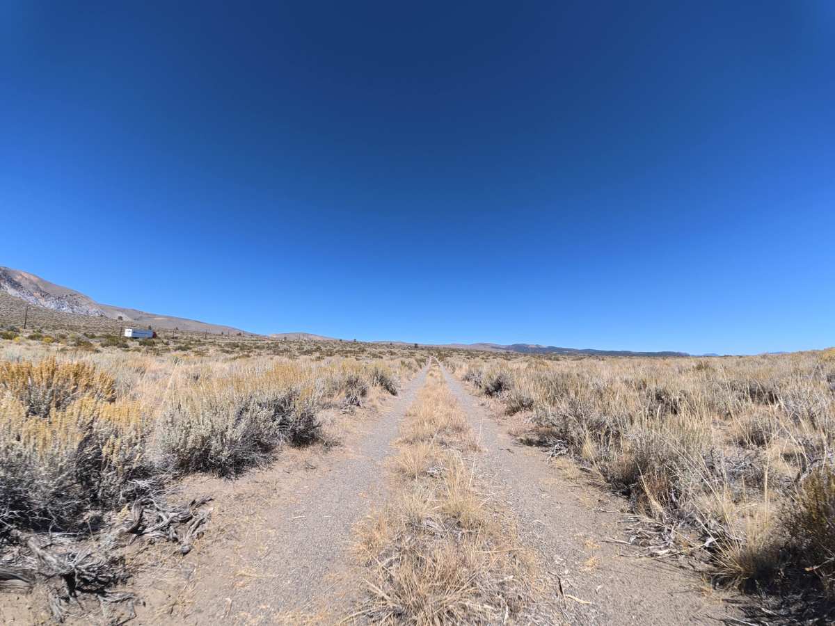
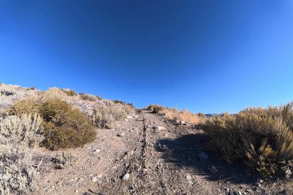
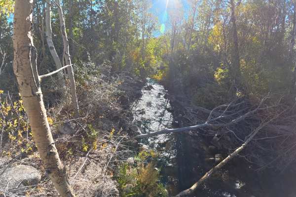
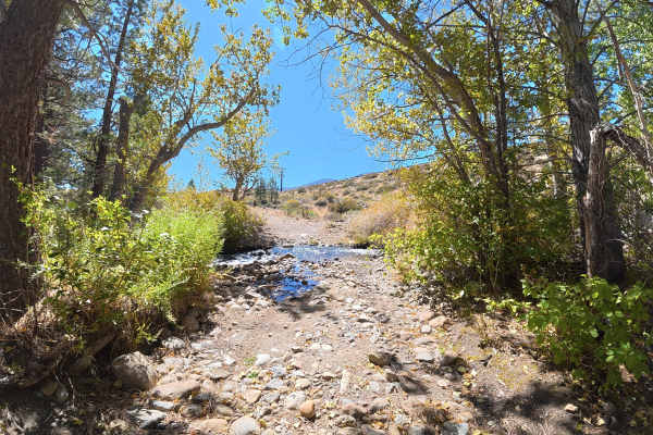
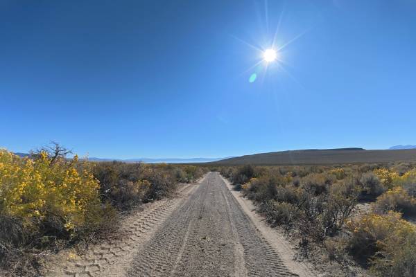
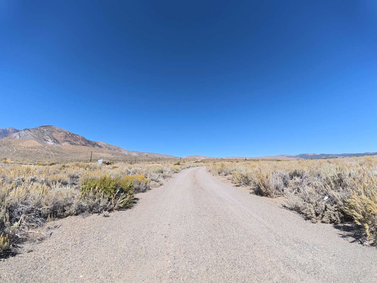
This fine dirt-and-gravel trail branches directly from the highway, with a difficult-to-spot entrance next to a National Forest visitor information sign. The beginning is wide enough for vehicles to pass, with some vegetation but generally avoidable pinstriping. Scenic views of Mono Lake and the surrounding mountains continue as the route travels deeper into the forest. Around 0.3 miles, ruts increase to 5–6 inches deep. At 0.7 miles, the trail becomes narrower and more overgrown, making pinstriping possible, but this section also offers some of the best views of Mono Lake. The route finishes on a hillside with expansive lake and mountain views and a campsite accommodating up to two vehicles.

Photos of FS 2N104

Difficulty

This trail is rated Level 2 because of the 5–6 inch ruts, narrow sections, and overgrown vegetation. There are no significant obstacles along the route.

Technical Rating

2

FS 2N104 Trail can be accessed by the following ride types:

  • Single Track
  • 50 Inch
  • 60 Inch
  • High Clearance
  • Full Width

FS 2N104 Map

The onX Offroad Difference

onX Offroad combines trail photos, descriptions, difficulty ratings, width restrictions, seasonality, and more in a user-friendly interface. Available on all devices, with offline access and full compatibility with CarPlay and Android Auto. Discover what you're missing today!

Open Trail Map