FS 2N105

Total Miles1.1
Technical Rating
3Easy
Best TimeSpring, Summer, Fall
Trail TypeFull-Width Road
Accessible By
Open Trail Map

Trail Overview

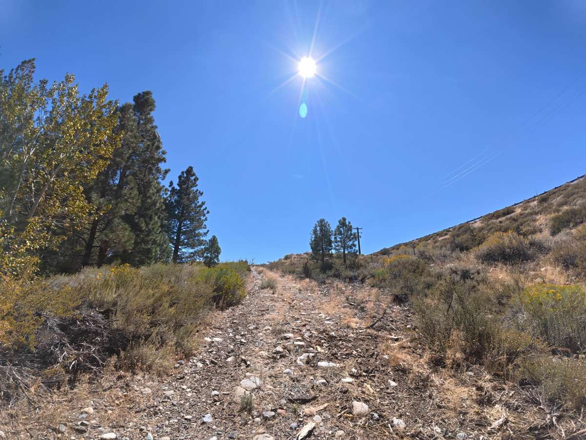
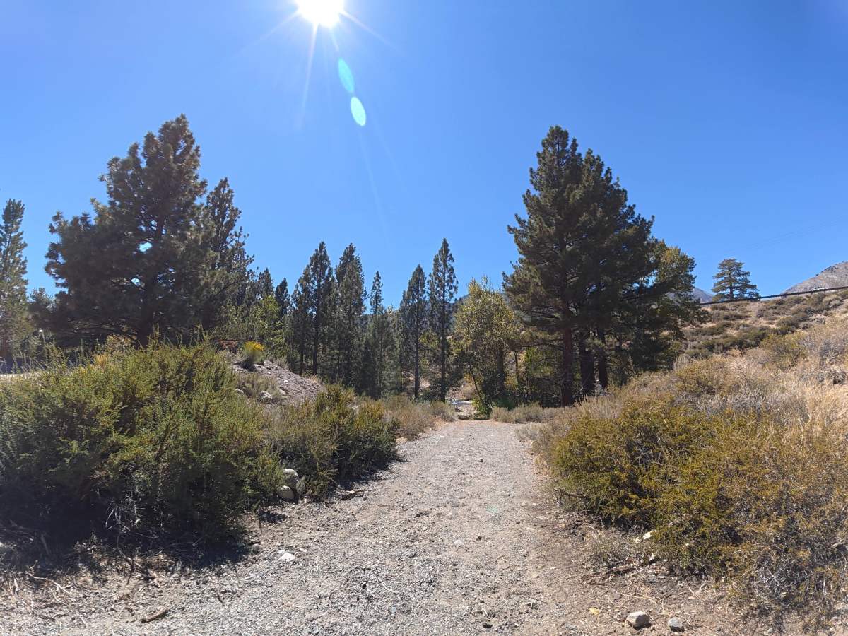
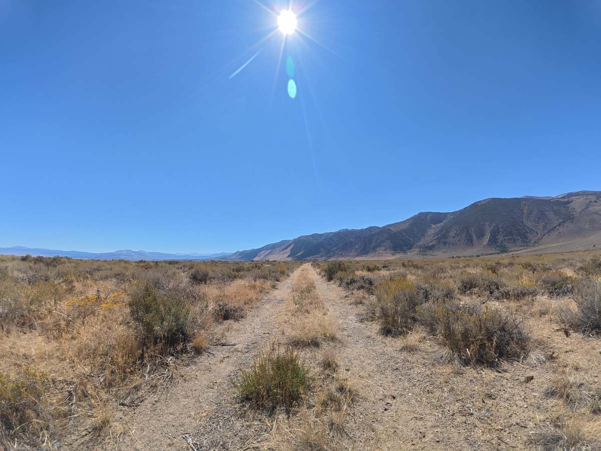
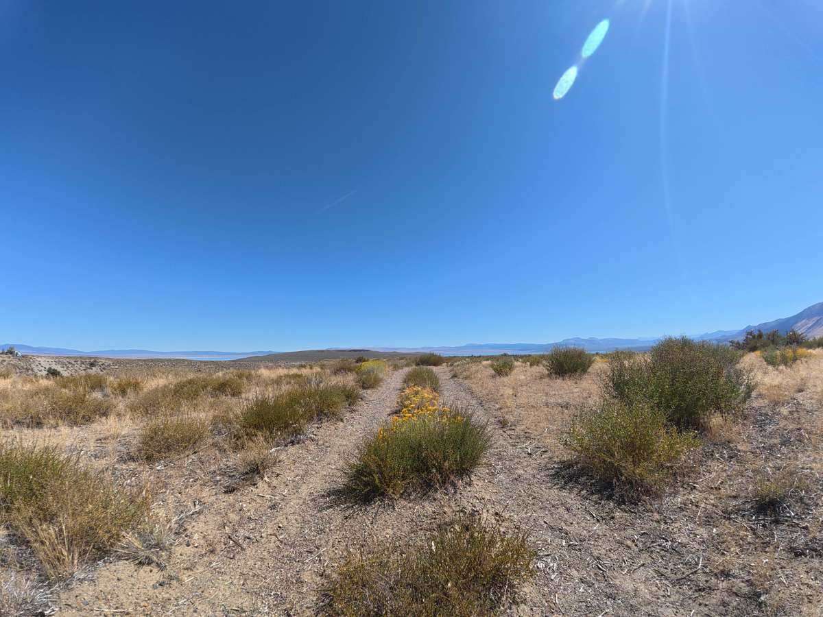
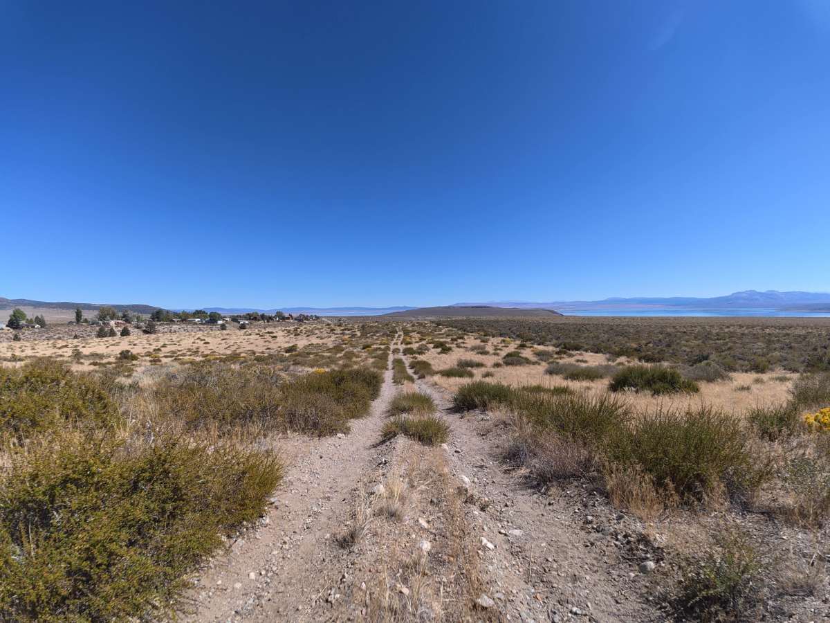
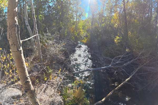
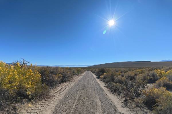
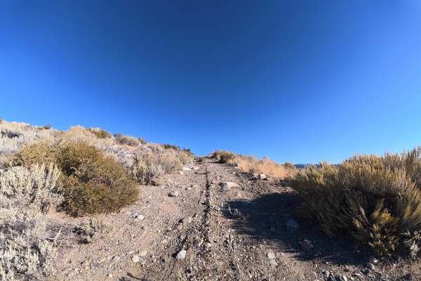
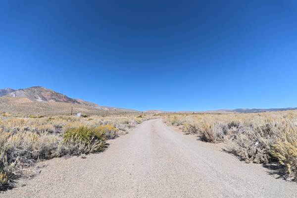
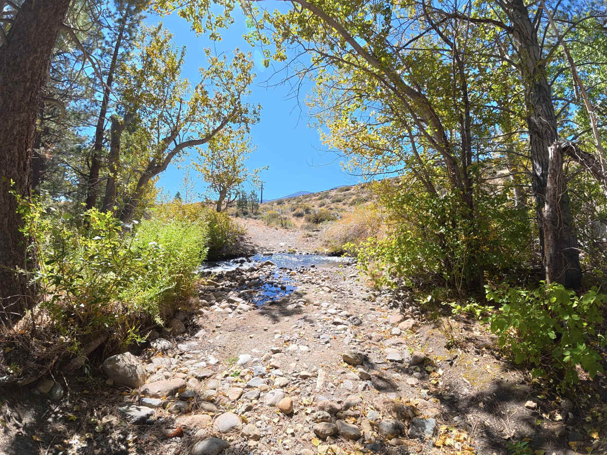
This narrow, rocky trail begins at the end of a neighborhood cul-de-sac and immediately descends into frequent rock gardens. Within the first 100 yards, an 8-inch-deep water crossing contains rocks measuring 10–12 inches in diameter. After the crossing, the route climbs uphill through an extended rock garden. Around 0.2 miles, the rocky terrain transitions to soft, fine dirt, while overgrown vegetation makes pinstriping possible. By 0.3 miles, the route offers scenic views of Mono Lake and the surrounding mountains.

Photos of FS 2N105

Difficulty

This trail is rated Level 3 primarily because of the 8-inch water crossing with 10–12 inch rocks and the extended rock gardens. 4WD or AWD is highly recommended for the crossing. Beyond this section, the terrain is closer to Level 2 difficulty.

Technical Rating

3

FS 2N105 Trail can be accessed by the following ride types:

  • Single Track
  • 50 Inch
  • 60 Inch
  • High Clearance
  • Full Width

FS 2N105 Map

The onX Offroad Difference

onX Offroad combines trail photos, descriptions, difficulty ratings, width restrictions, seasonality, and more in a user-friendly interface. Available on all devices, with offline access and full compatibility with CarPlay and Android Auto. Discover what you're missing today!

Open Trail Map