Trail Overview
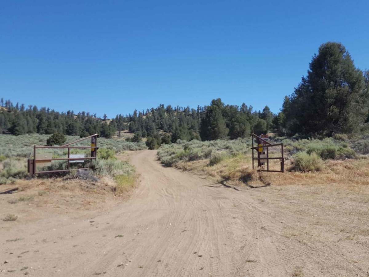
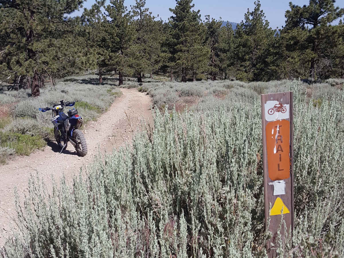
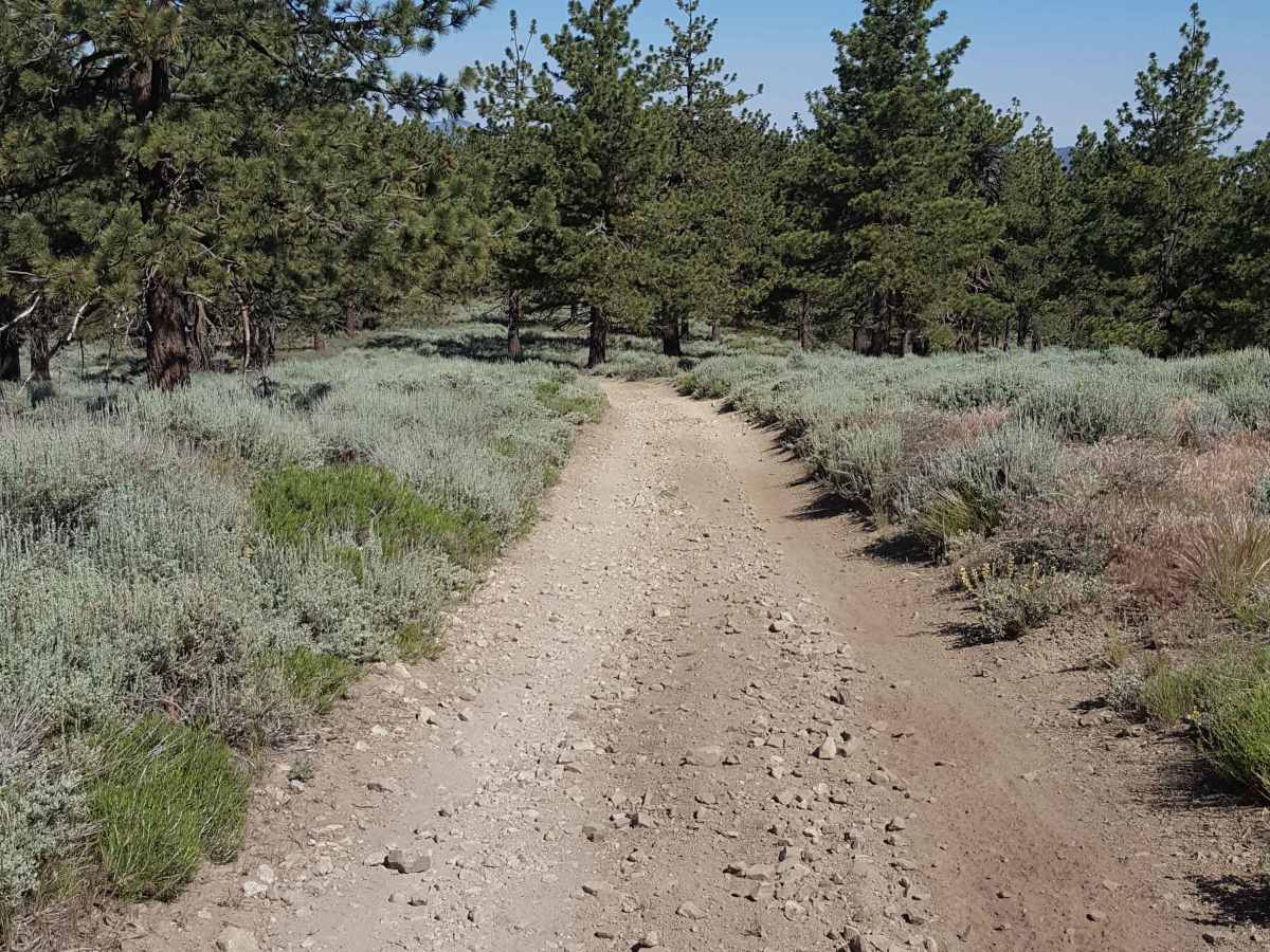
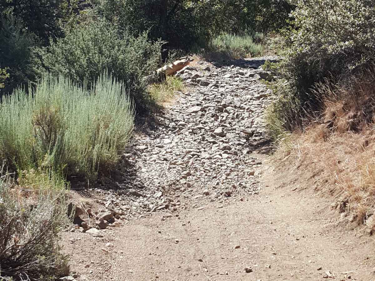
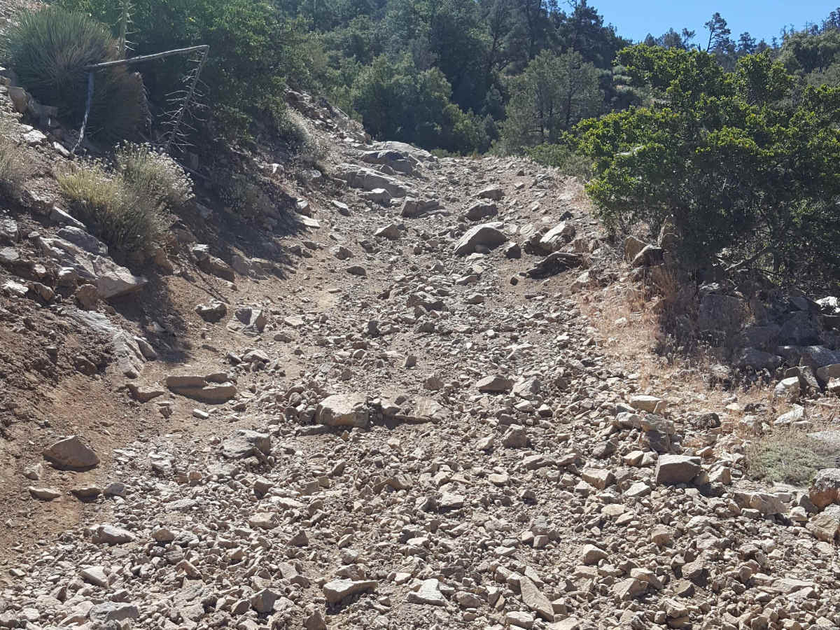
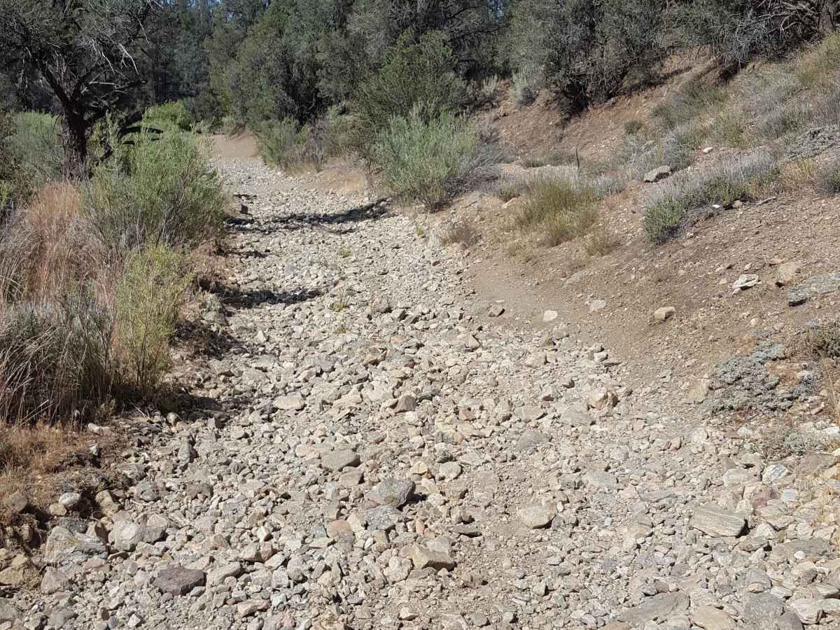
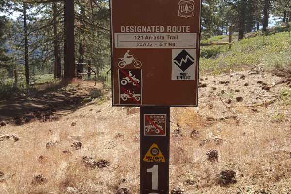
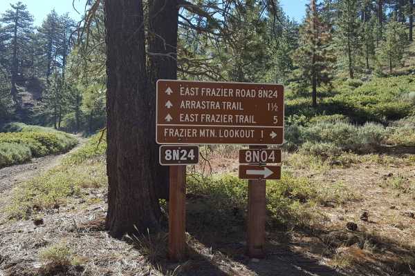
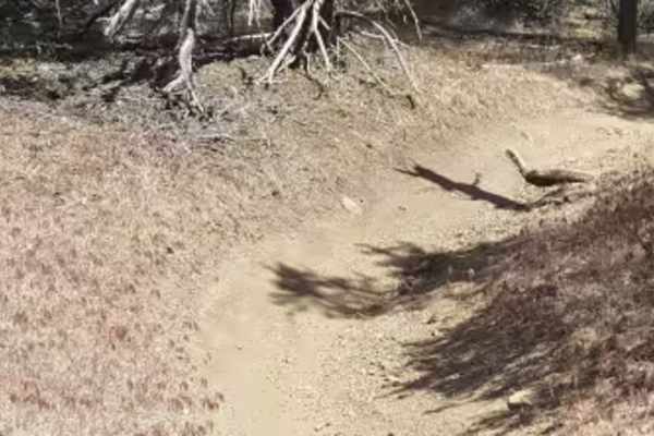
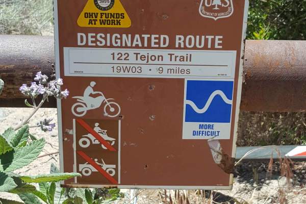
This is a point-to-point route linking the Frazier Mountain trails to the Lockwood Creek trail. The east side of the trail near the top of Frazier Mountain is a relatively easy Forest Service dirt road, which is slightly wider than a full-size vehicle. There are occasional shallow ruts, small embedded rocks, and exposed tree roots along the route in this section. As the trail descends into the west side and transitions to an old mine road (marked by the 118 trail sign), the surface becomes much more rutted and rocky. In this section of the trail, there are also multiple steep grades with larger embedded rocks and deeper ruts. Once the trail finally reaches a wash canyon at the base of the mountain in this area, there are several rock gardens to navigate, as well as sand beds and large whoops. Note that there will not be many spots to move aside and let other vehicles pass on the west side of the trail. Overall, this is a fun, moderate-level trail with lots of different terrain challenges. The trail is open annually from 5/1 to 11/1. A green sticker is required for off-road vehicles. Tread Lightly and Pack-it-Out.
Difficulty
The east side of this trail is a dirt road with minor obstacles such as small embedded rocks, roots, and shallow ruts. It can be managed with 2WD and moderate clearance. The west side of the trail, however, is rutted and rocky with several steep grades, rock gardens, sandy washes, and whoops. This part of the trail should only be attempted by high-clearance vehicles with 4WD. There are also relatively few places to allow vehicles to pass on the west side, so keep an eye on the trail ahead to anticipate encounters.

 Offroad