Trail Overview
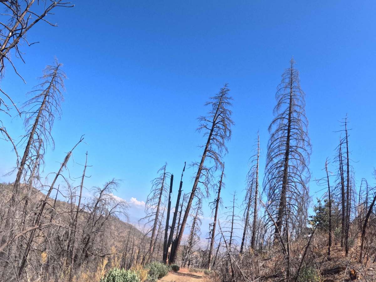
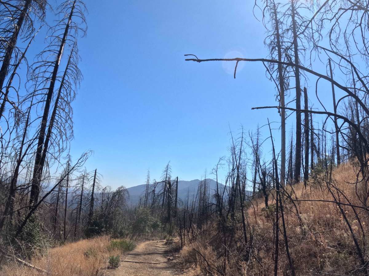
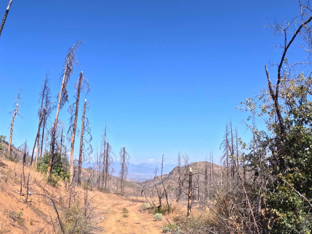
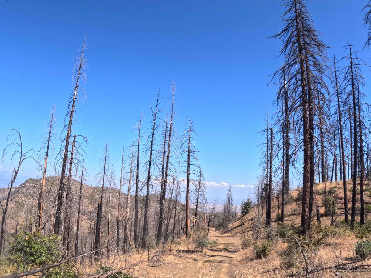
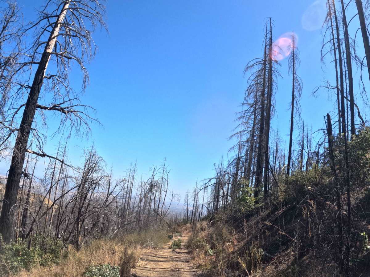
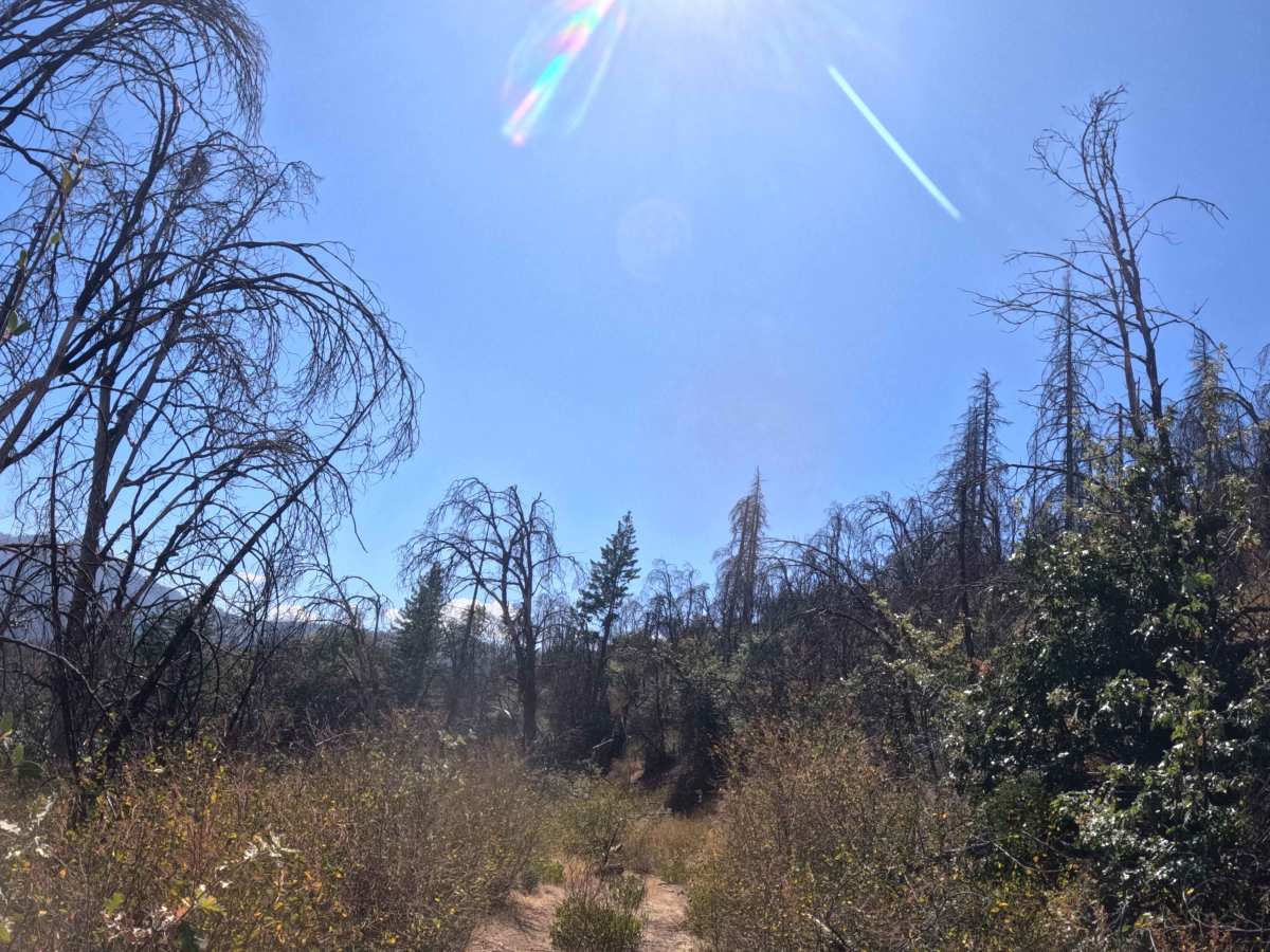
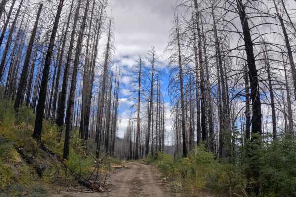
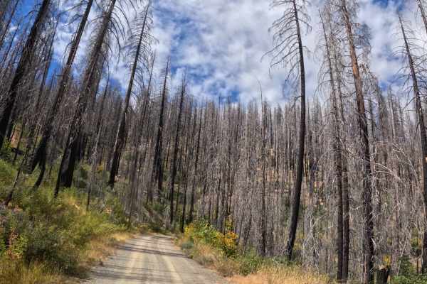
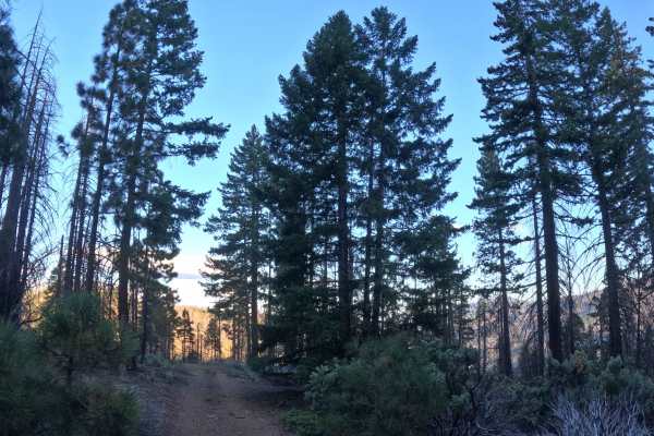
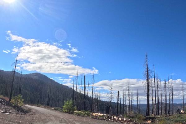
Branching eastward from the primary FS 28N05 junction, Wells Creek Peak Spur B (FS 28N05B) functions as a short, out-and-back gravel spur pushing deeper into the Shasta-Trinity National Forest. The route descends through a heavily fire-scarred landscape still recovering from the devastating 2021 McFarland Fire, where towering blackened snags stand above a thick, regenerating green understory. Backcountry explorers and campers occasionally venture down this dead-end path seeking secluded dispersed camping or exploring alternative access points near the Wells Creek Peak hiking areas. The driving surface consists of a narrow, single-track gravel trail holding an easy Grade 1 difficulty rating. As the path drops in elevation along a steady twelve-percent grade, travelers will navigate several exposed shelf-road segments. Because the recovering forest is rapidly reclaiming the corridor, drivers will experience aggressive brush encroachment that tightly squeezes the trail boundaries and severely limits forward visibility.
Difficulty
This single-track gravel spur provides a relatively smooth descent completely free of severe off-road obstacles like deep mud pits or impassable boulders. The primary challenges along this route are strictly spatial and environmental rather than technical. Drivers will encounter significant brush overgrowth throughout the corridor, making heavy foliage rub and vehicle pinstriping unavoidable. Due to these extremely tight confines and the limited turnaround space at the terminus, operators of wider overland setups or vehicles towing trailers should completely avoid this spur. Furthermore, because the path travels through a heavily burned timber stand, there is an exceptionally high probability of encountering newly downed deadfall blocking the roadway. Standard factory ground clearance is entirely sufficient to complete the drive safely, provided operators are willing to push through the encroaching vegetation and monitor for falling hazards.

 Offroad