Humboldt - FS 27N07

Total Miles4.5
Technical Rating
1Easy
Best TimeSpring, Summer, Fall
Trail TypeFull-Width Road
Accessible By
Open Trail Map

Trail Overview

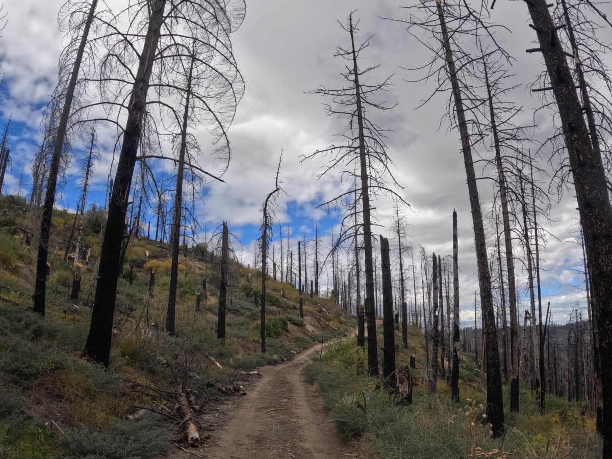
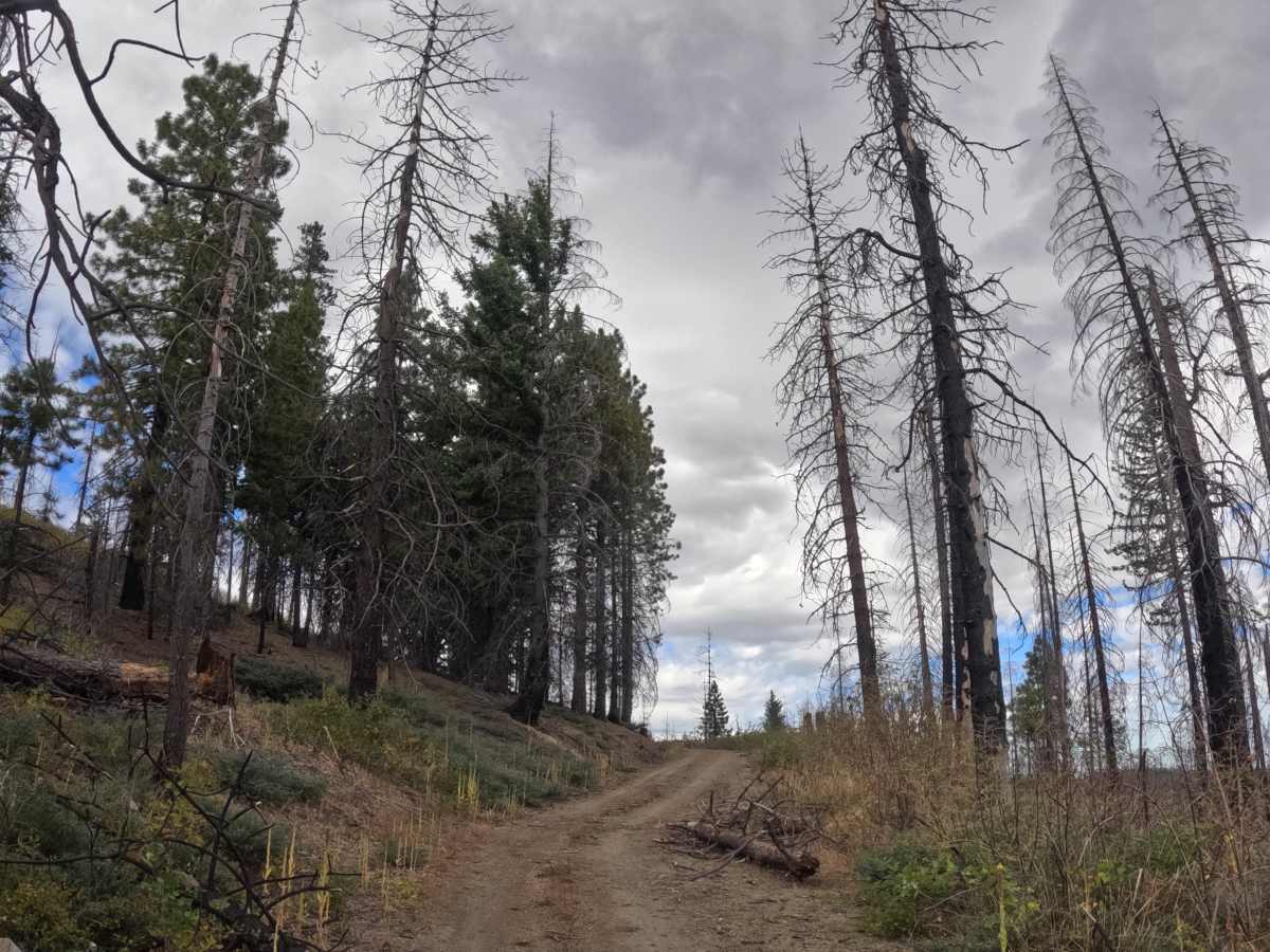
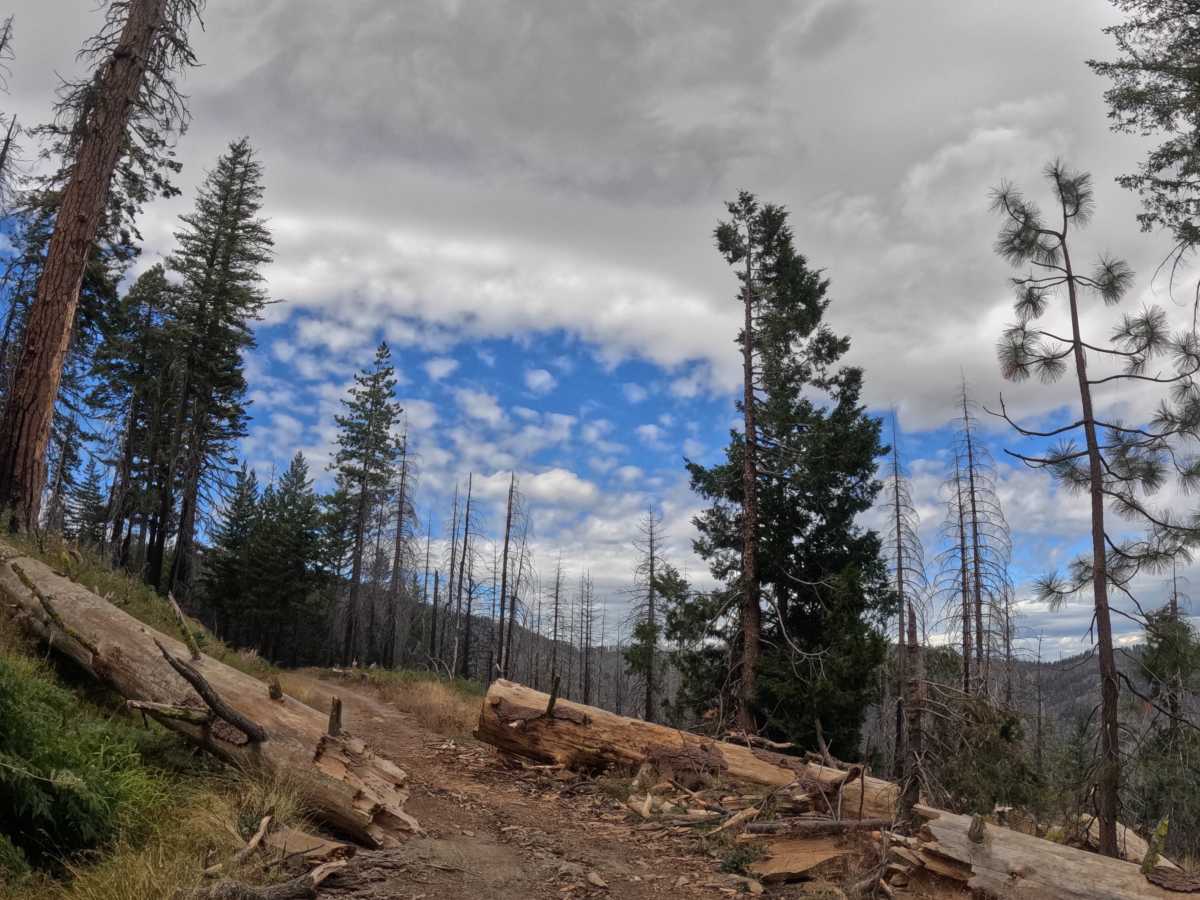
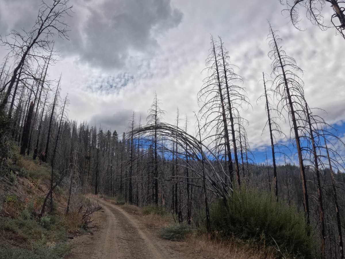
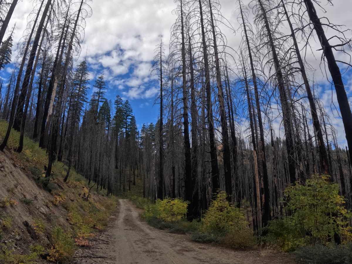
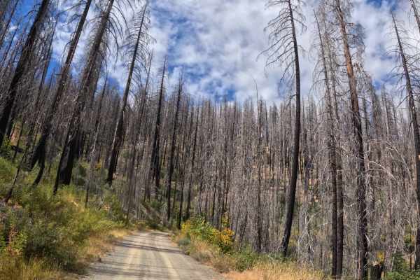
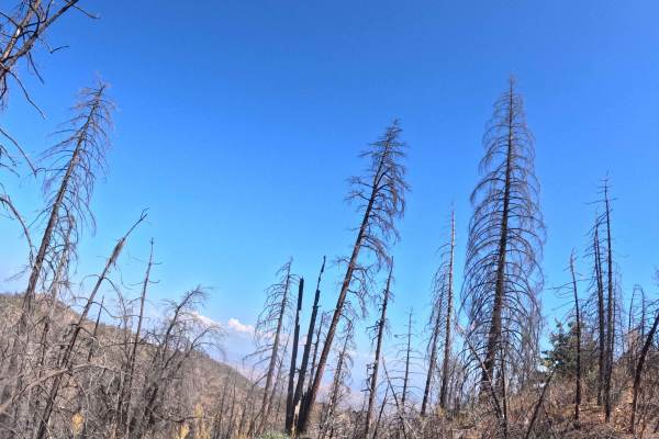
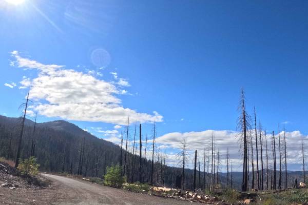
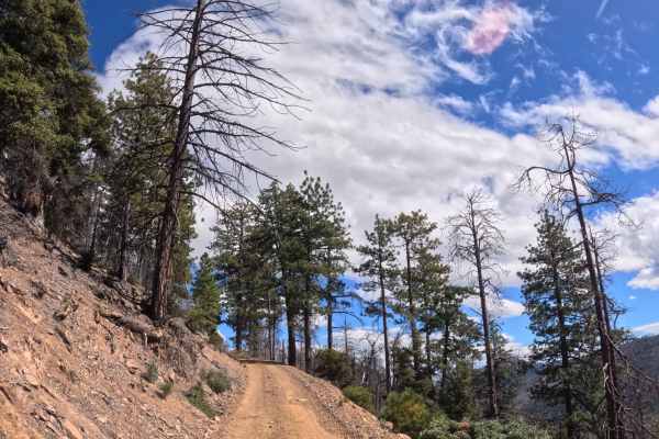
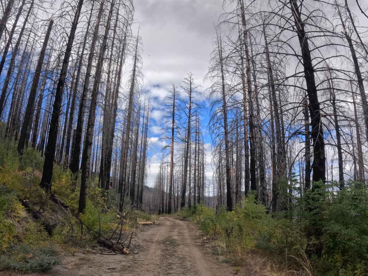
Humboldt - FS 27N07 runs as a well-traveled, point-to-point single-track along the slopes of an unnamed ridge in Shasta-Trinity National Forest, passing through a mix of live conifer stands and fire-scarred, regrowing terrain. The trail holds a moderate 7-8% grade variation as it climbs, gaining meaningful elevation along the way, and several side trails branch off for those wanting to explore further. Standing dead timber from past fire activity lines long stretches of the route, giving way periodically to healthier green forest. The trail ends at a medium-size wooded dispersed campsite, making this a workable option for those looking to camp along the way. The surface stays consistent for the full 4.5 miles, and the route is suitable for the full range of vehicle types under normal conditions.

Photos of Humboldt - FS 27N07

Difficulty

Rated a 1. The trail climbs a meaningful amount over its 4.5 miles, but the grade stays moderate rather than steep, and the surface stays consistent throughout. There are no obstacles anywhere on the route. Nothing here would push the rating higher.

Technical Rating

1

Humboldt - FS 27N07 Trail can be accessed by the following ride types:

  • Single Track
  • 50 Inch
  • 60 Inch
  • High Clearance
  • Full Width

Humboldt - FS 27N07 Map

The onX Offroad Difference

onX Offroad combines trail photos, descriptions, difficulty ratings, width restrictions, seasonality, and more in a user-friendly interface. Available on all devices, with offline access and full compatibility with CarPlay and Android Auto. Discover what you're missing today!

Open Trail Map