Trail Overview
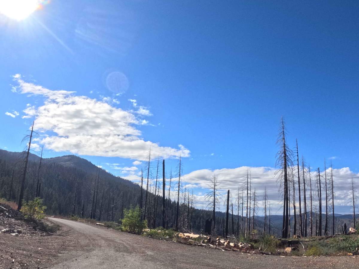
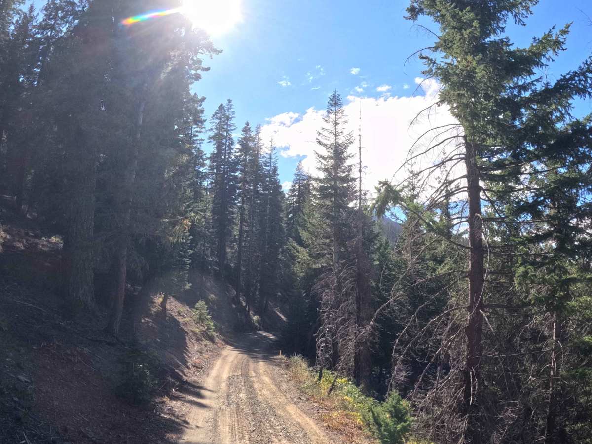
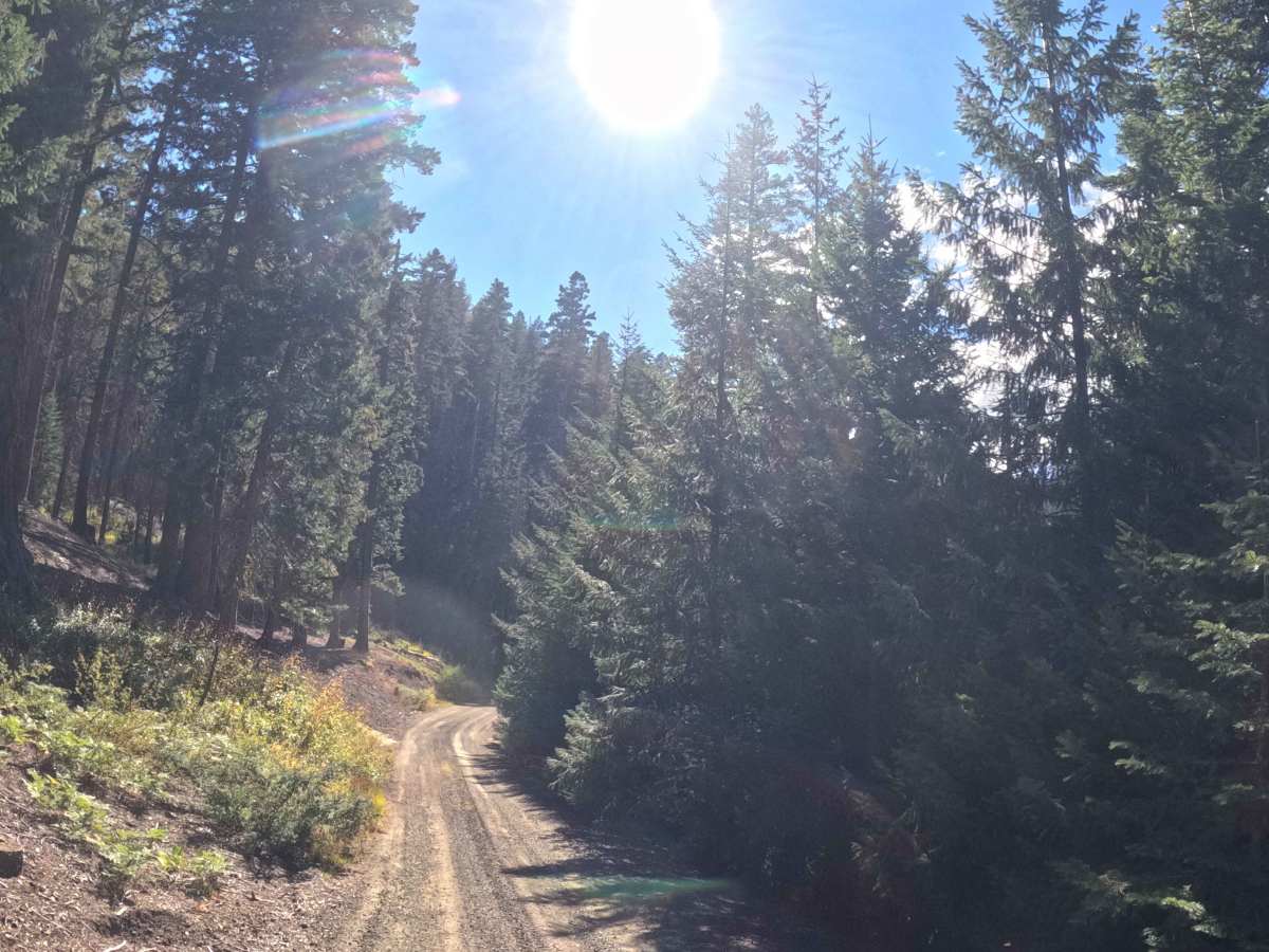
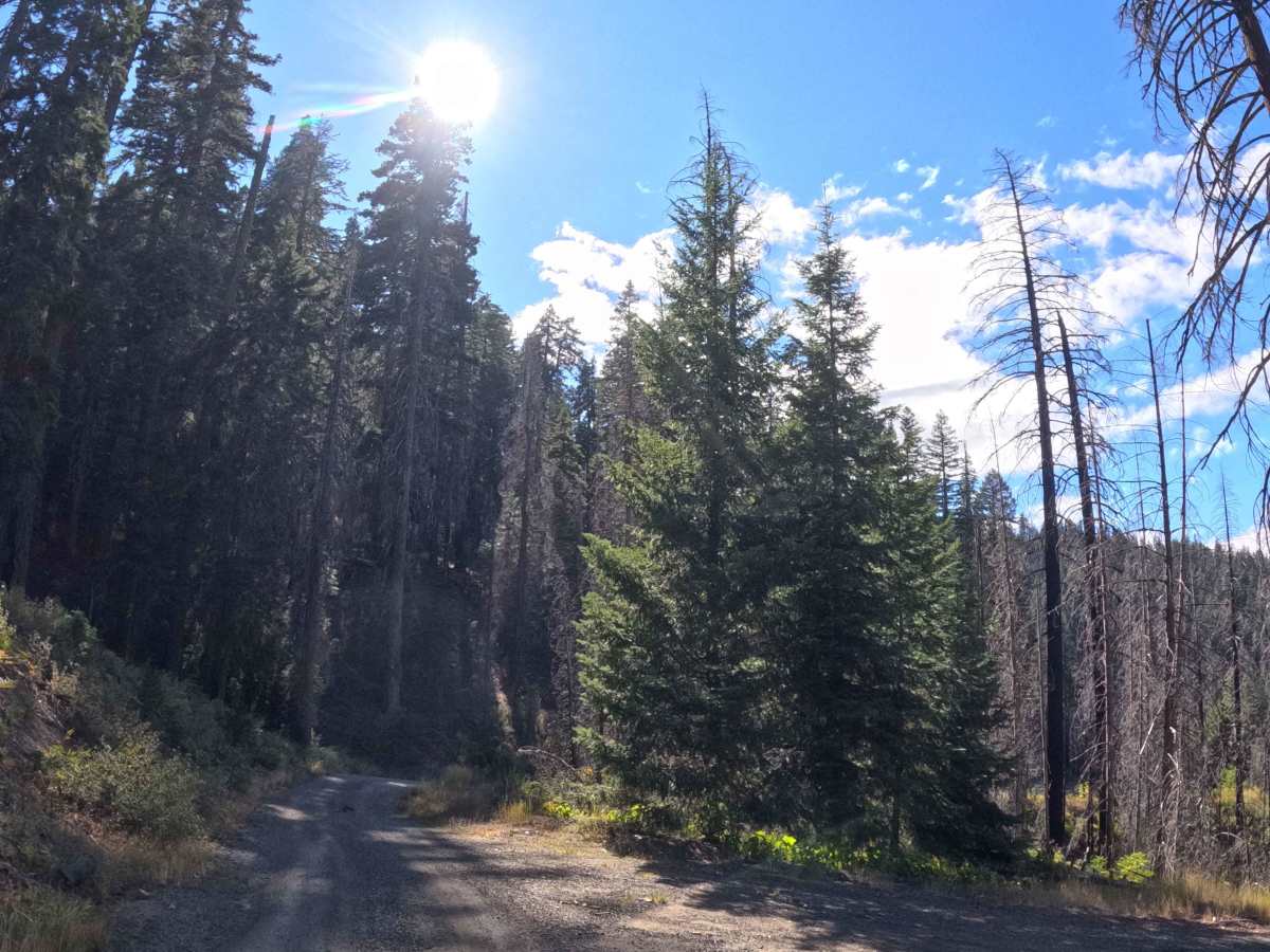
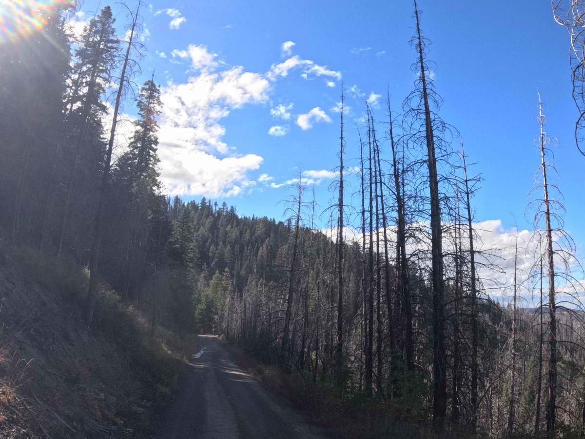
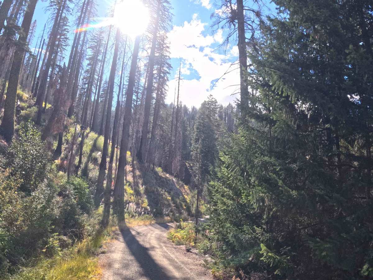
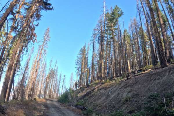
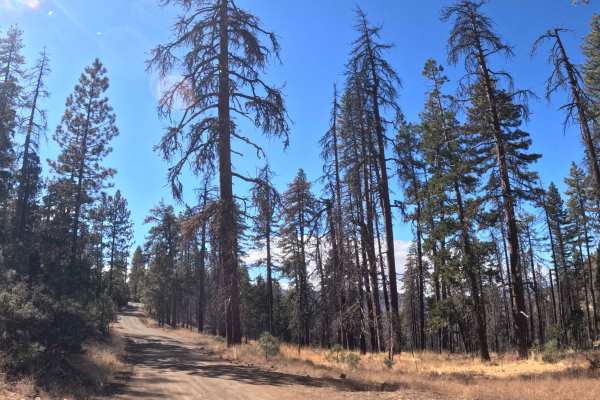
Functioning as a primary western approach, Rat Trap Gap West (FS 28N35) serves as a wide, graded point-to-point connector funneling traffic toward the prominent Rat Trap Gap junction. The route carves across the hillsides of the Shasta-Trinity National Forest, passing through dense, unburned stands of heavy firs that were largely spared from recent wildfires. Backcountry travelers, overlanders, and hikers heavily utilize this arterial road to reach the major multi-trail staging area at the summit, which provides direct access to the Cold Fork Ridge and North Yolla Bolly Lake hiking trailheads, alongside dispersed campsites and a vault toilet. The driving surface consists of a well-maintained, wide gravel and dirt Forest sService trunk road holding an accessible Grade 1 difficulty rating. Running parallel to nearby wilderness hiking paths, this route maintains a steady ten-percent grade variation as it crosses a gulch and climbs the slopes, eventually transitioning onto a paved thoroughfare at its western terminus.
Difficulty
This wide forest service trunk road provides a smooth, reliable gravel and dirt surface from end to end. Extreme off-road obstacles such as deep mud pits, large boulder fields, steep cliff washouts, or heavily rutted tracks are entirely absent. The primary driving considerations involve managing steady vehicle momentum over the ten-percent grade variation and maintaining safe lane positioning when encountering oncoming traffic near blind corners or intersections. The roadway is sufficiently wide and well-cleared, meaning there is absolutely no foliage contact or encroaching brush to scratch vehicle sides. Because the corridor approaches major hiking trailheads and dispersed camping zones, drivers must stay alert for pedestrians and parked vehicles near the summit junction. Standard factory ground clearance is fully sufficient to navigate the rolling terrain and safely complete the drive.

 Offroad