Trail Overview
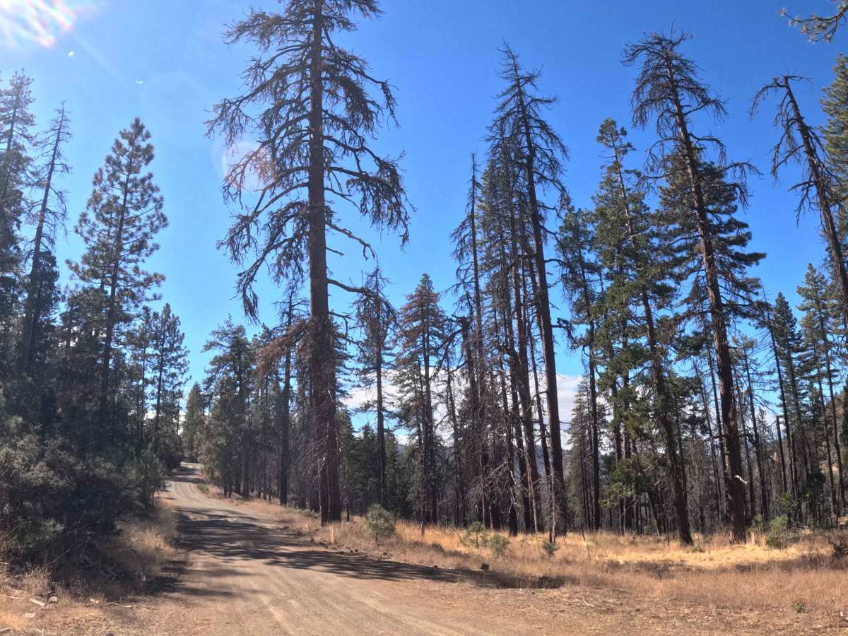
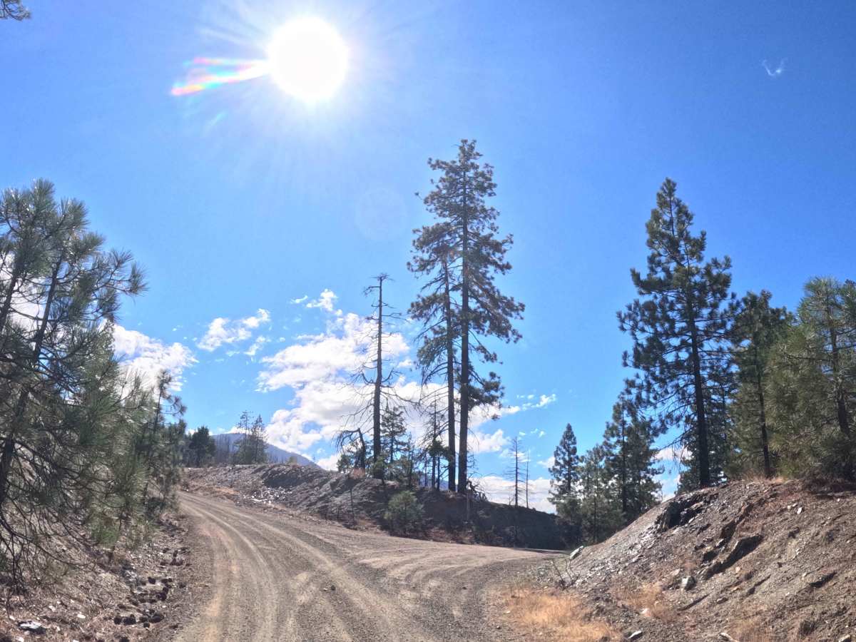
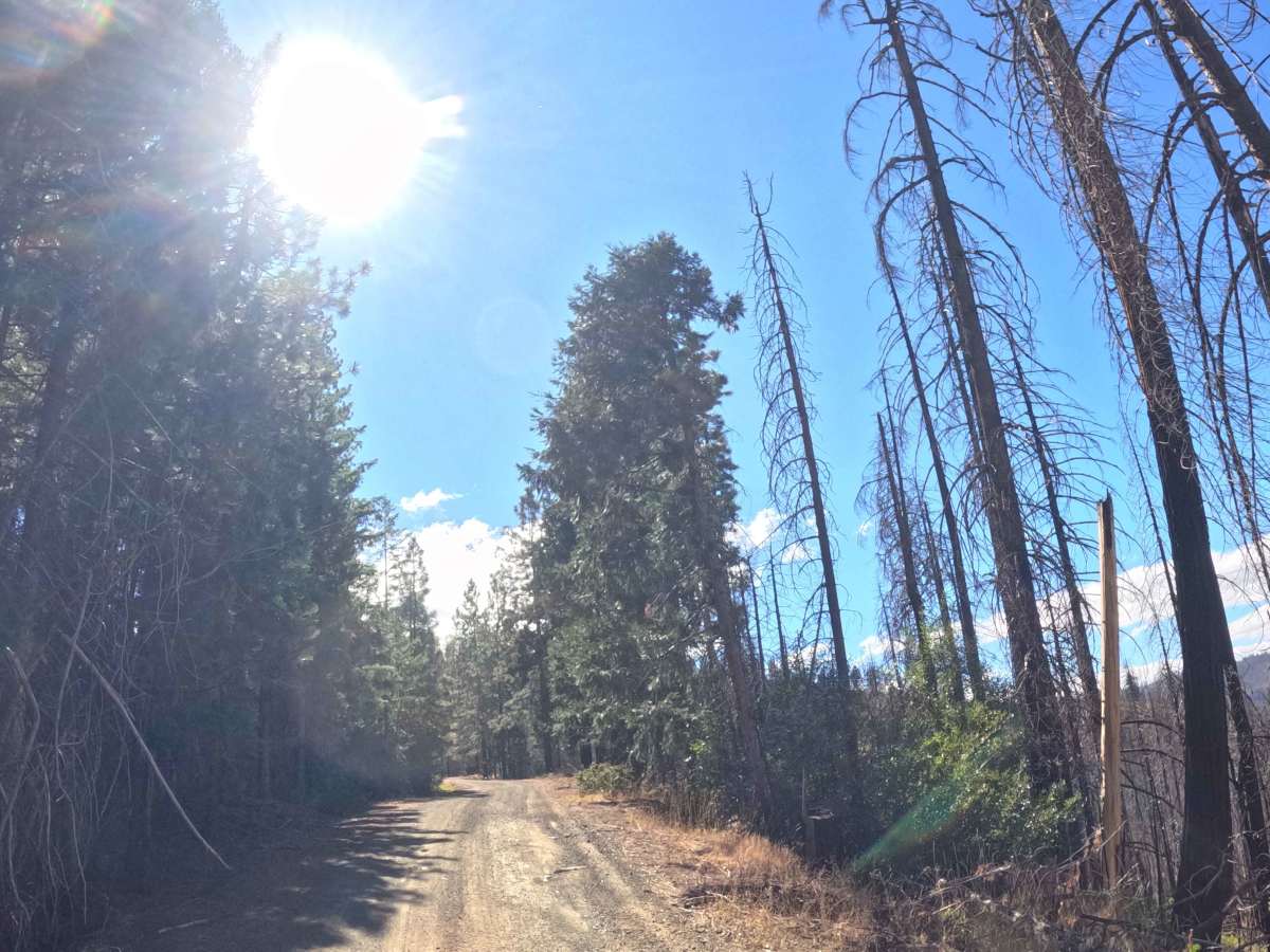
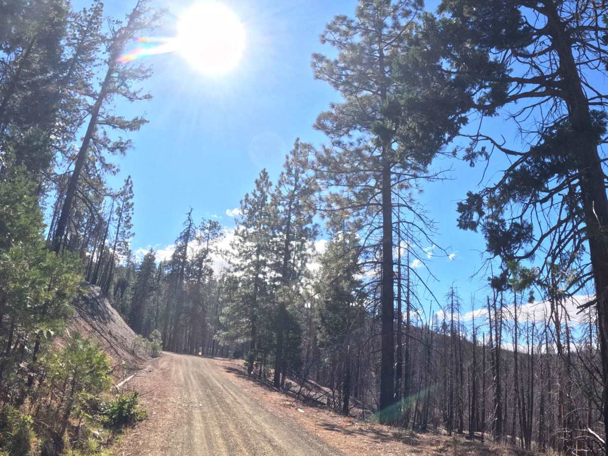
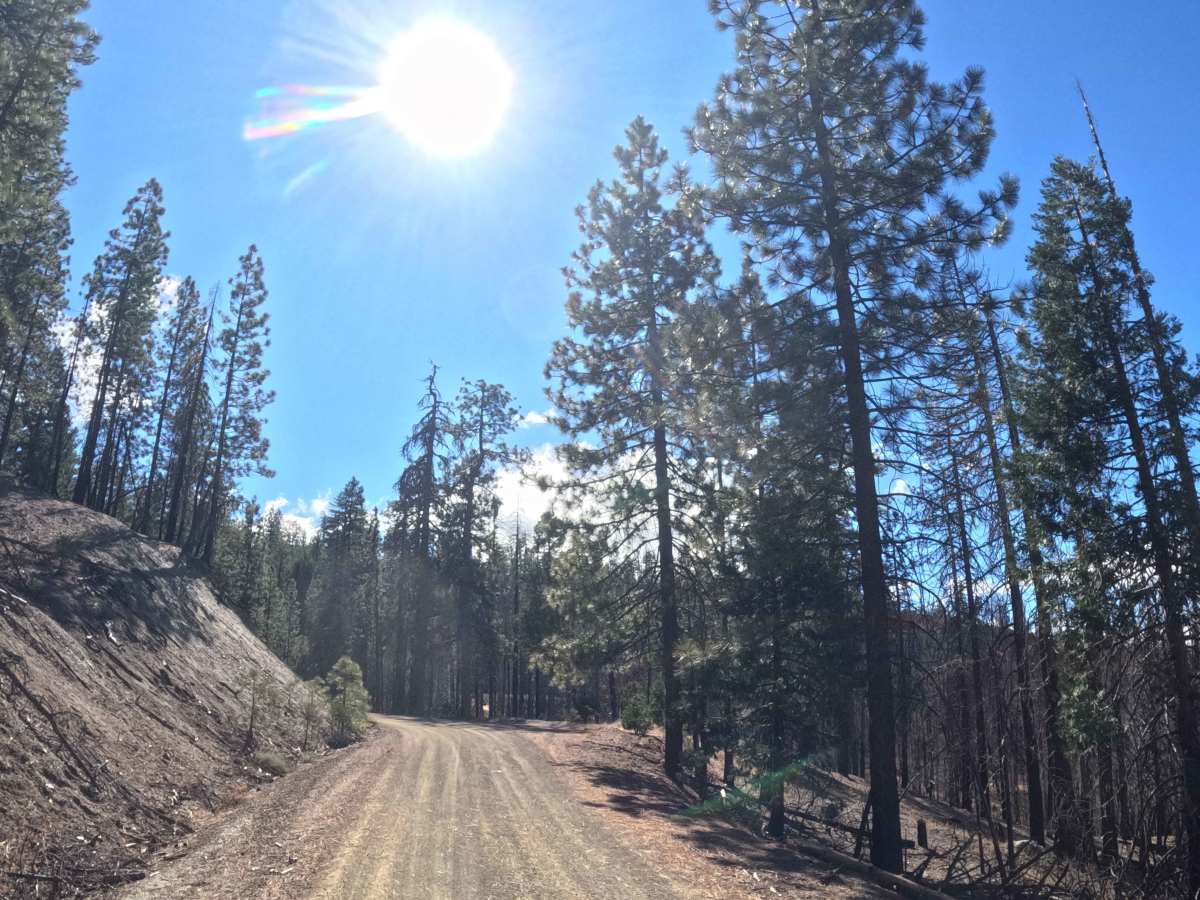
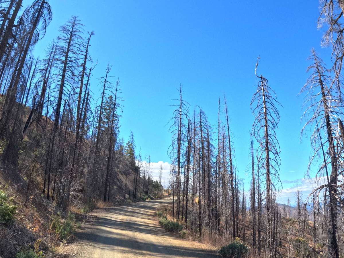
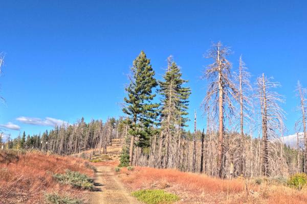
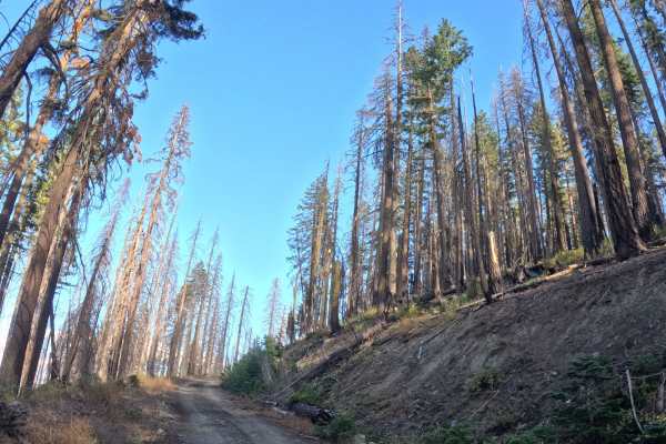
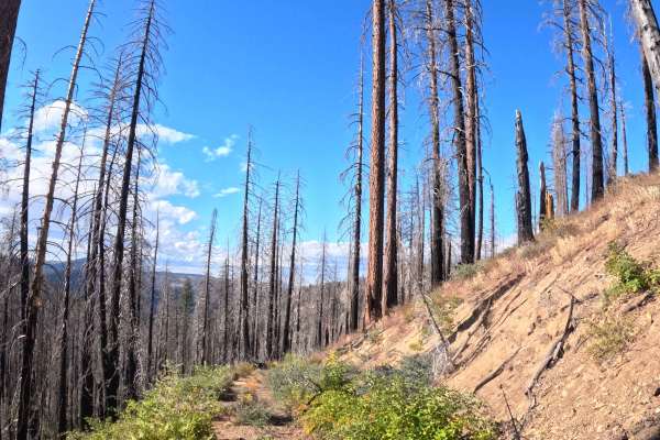
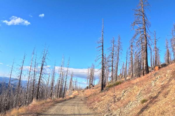
Functioning as a sweeping, high-elevation connector, Tedoc Gap South (FS 28N45) links the northern reaches of Tedoc Gap across the rugged Rat Trap Ridge. The route traverses an expansive mountain territory within the Shasta-Trinity National Forest, weaving through a striking mosaic of resilient green pine groves and open, recovering slopes marked by the 2021 McFarland Fire. Backcountry explorers, hunters, and overland travelers heavily utilize this continuous shelf road to access deep forest regions, cross Post Creek, and eventually reach the prominent multi-trail junction at Rat Trap Gap. This major intersection serves as a vital staging area, providing direct access to the Cold Fork Ridge and North Yolla Bolly Lake hiking trailheads, complete with a managed dispersed campground and a pit toilet. The driving surface consists of a wide, unpaved double-track shelf road holding a comfortable Grade 1 difficulty rating. Offering a smooth, gravel-and-dirt bed that gently rolls through a ten-percent grade variation, this picturesque corridor delivers a straightforward and highly rewarding mountain journey.
Difficulty
Securing an easy Grade 1 difficulty rating, this broad mountain shelf road provides a firm, well-maintained dirt and gravel base from end to end. Extreme off-road hazards such as impassable mud pits, massive boulder fields, steep cliff washouts, or deeply rutted tracks are entirely absent along the route. The primary driving considerations involve managing steady vehicle momentum over a mild ten-percent grade variation and maintaining safe lane positioning when encountering oncoming traffic along the double-track shelf. Because the pathway cuts through recently burned forest zones, travelers should maintain a basic awareness of occasional small fallen branches or light roadside debris. However, the roadbed remains clear, predictable, and wide enough to easily maneuver around minor obstacles. Standard factory ground clearance is fully sufficient to navigate the rolling mountain terrain, cross the creek boundary, and safely reach the campground facilities at the terminal junction.

 Offroad