Trail Overview
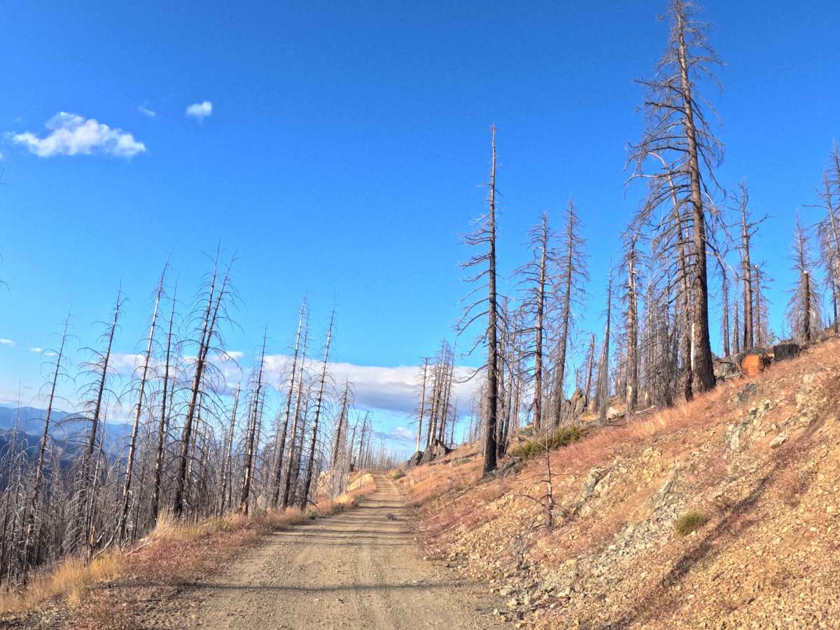
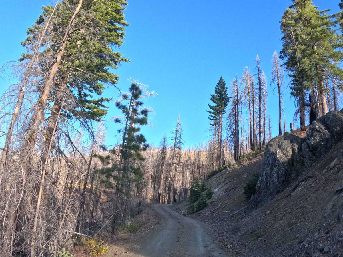
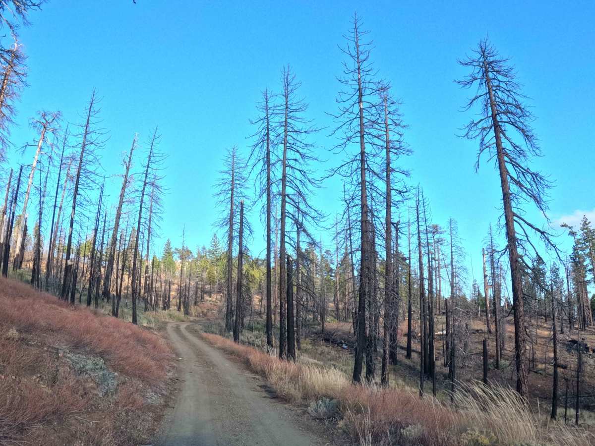
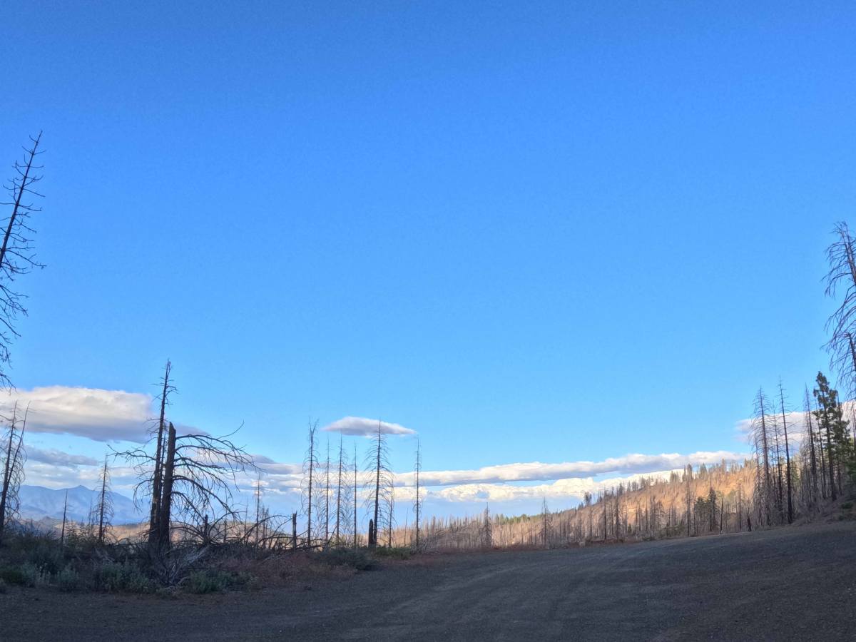
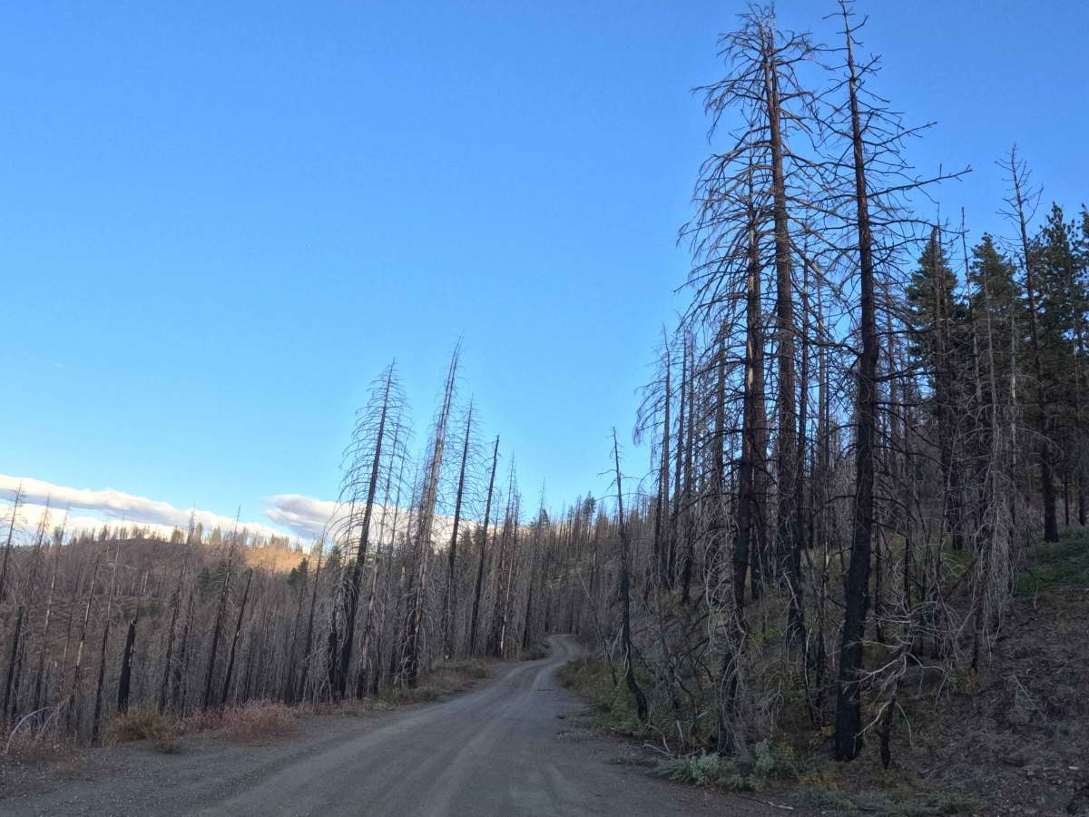
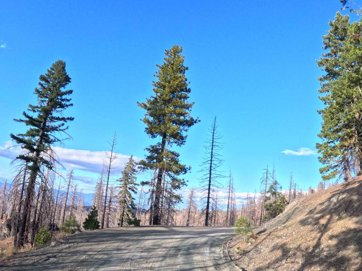
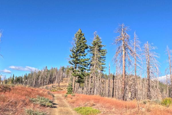
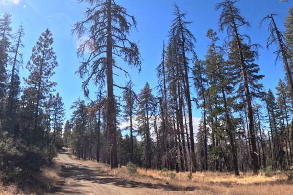
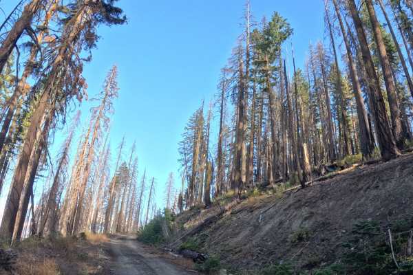
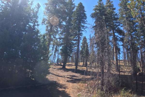
Functioning as a scenic point-to-point backcountry connector, FS 27N12 forks westward from the Tedoc Gap area to link directly with Forest Road 27N13. The roadway traverses an expansive mountain hillside within the Shasta-Trinity National Forest, weaving through a stark yet beautiful mosaic of resilient green pine stands and skeletal timber actively recovering from the 2021 McFarland Fire. Outdoor enthusiasts, hunters, and overland campers frequently utilize this shelf road to access several quiet dispersed campsites, cross over Post Creek, and reach intersecting alternative trails leading deeper into the mountains. While no major designated footpaths originate directly on this specific route, the surrounding network near Rat Trap Gap sees considerable recreational traffic, meaning drivers should remain mindful of hikers and backpackers exploring the adjacent wilderness. The driving surface consists of an unpaved, single-track dirt shelf road holding an accessible Grade 1 difficulty rating. Traversing a very gentle profile with only a five-percent grade variation and completely clear of encroaching brush, this picturesque mountain corridor provides a straightforward and highly rewarding drive beneath ridge 9W28.
Difficulty
This single-track mountain connector provides a consistently firm and predictable dirt driving base from end to end. Extreme off-road hazards such as impassable mud bogs, massive boulder fields, steep shelf washouts, or deeply rutted tracks are entirely absent. The primary driving considerations involve managing steady vehicle momentum over the mild five-percent grade variation and maintaining safe lane positioning when encountering oncoming traffic along the narrow hillside shelf. Because the pathway cuts extensively through heavily burned forest zones, travelers must remain highly vigilant for overhead hazards and the strong likelihood of newly downed dead trees blocking the travel lane. However, the roadbed itself remains clear of encroaching vegetation, meaning there is no foliage rubbing against vehicle sides. Standard factory ground clearance is fully sufficient to safely navigate the rolling terrain, cross the creek boundary, and reach the roadside dispersed campsites.

 Offroad