Trail Overview
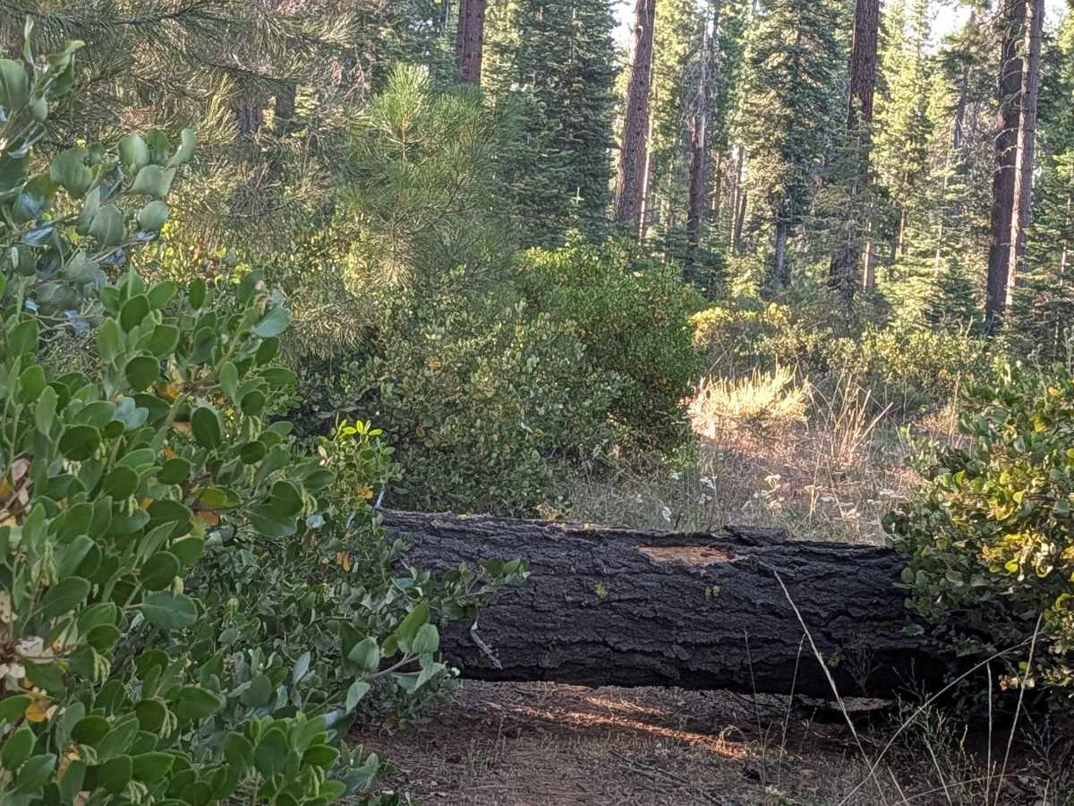
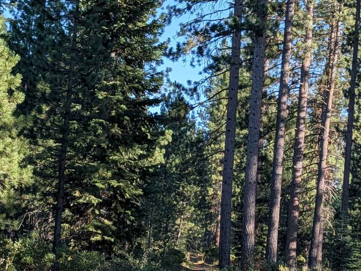
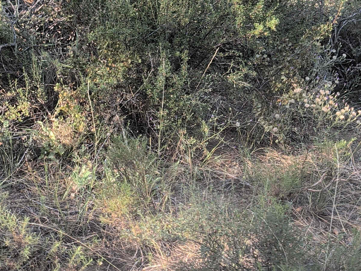
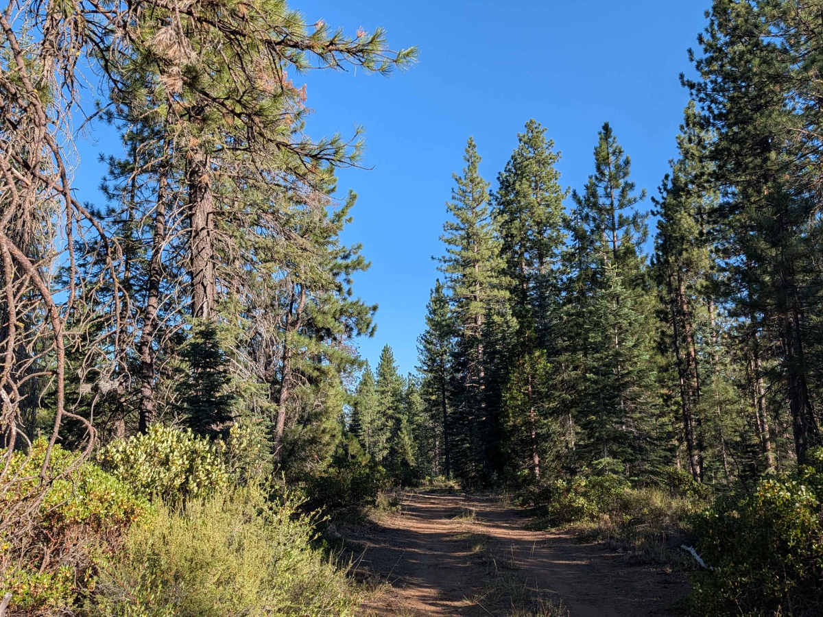
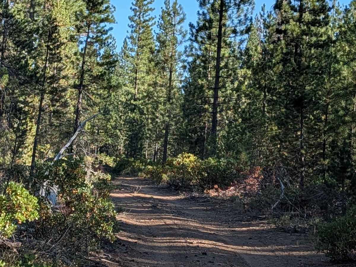
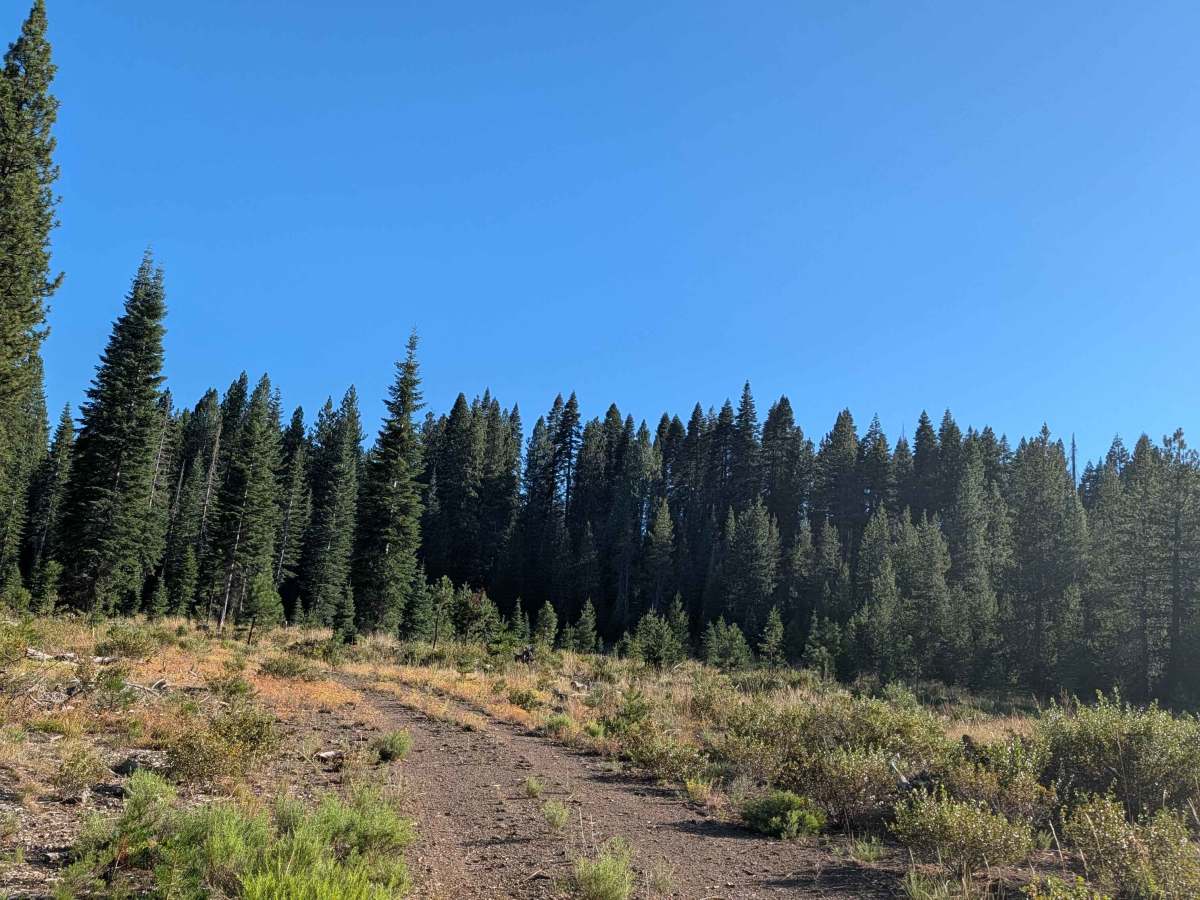
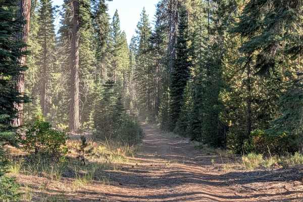
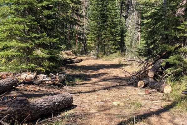
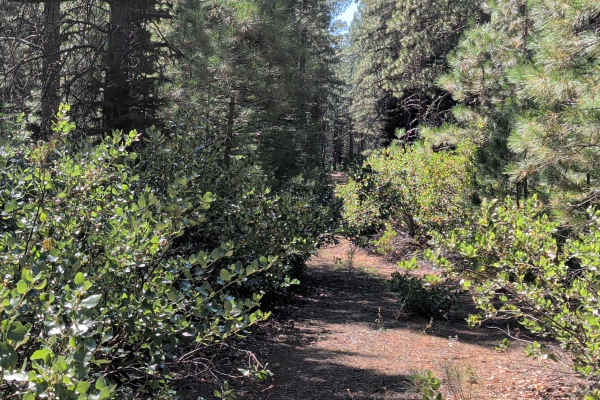
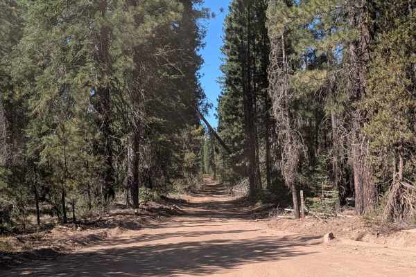
This two-mile point-to-point trail starts on Harris Mountain - FS 42N32, crosses over Davis North and Toad North - FS 42N62, and ends at private commercial logging property. The route cuts through a young pine forest full of lodgepole pine and Colorado fir, surrounded by lots of manzanita and antelope bitterbrush. This trail is part of the Shasta National Forest. The surface is fine dirt and very dusty, staying 1 to 1.5 vehicles wide. Drivers will encounter a few small ruts and some uneven surfaces, all under 6 inches. The trail narrows in places due to overgrown manzanita along the path, and comes to an end at a large downed tree.
Difficulty
This trail carries an easy difficulty rating 2, with the small ruts and uneven surfaces under 6 inches being the main consideration, along with the narrower manzanita lined sections.