Trail Overview
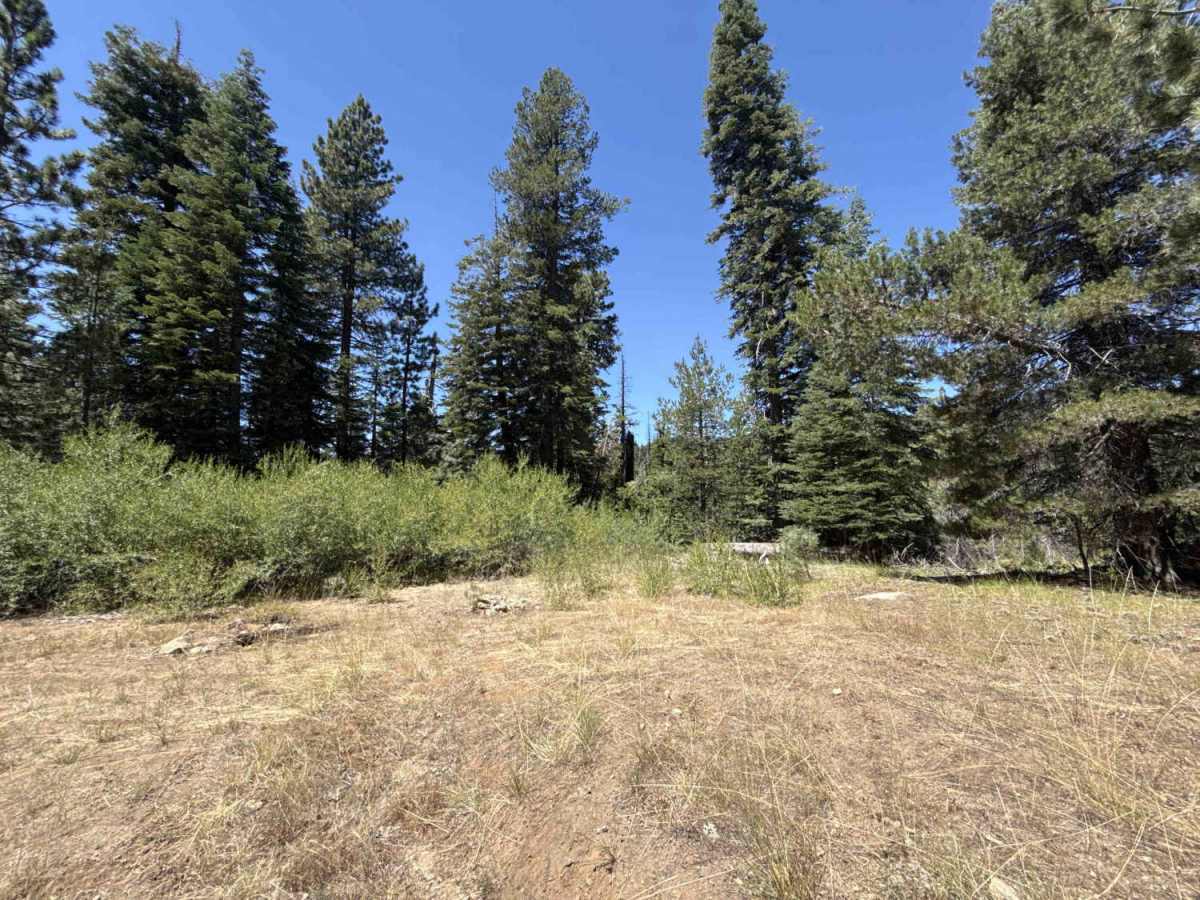
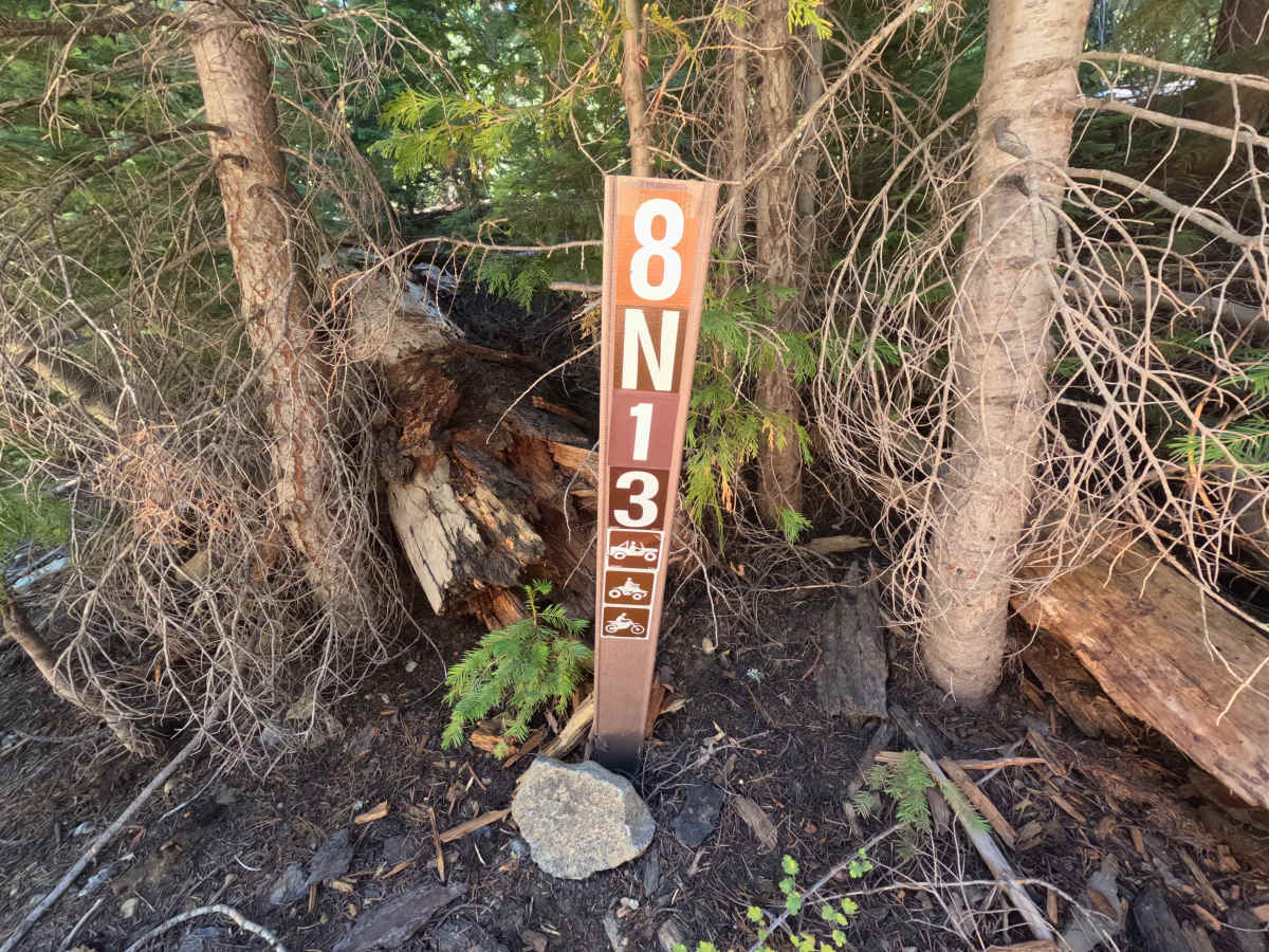
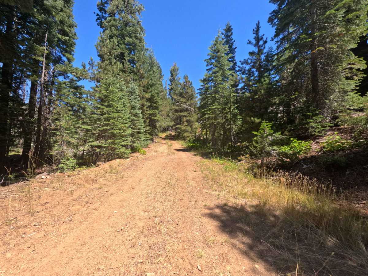
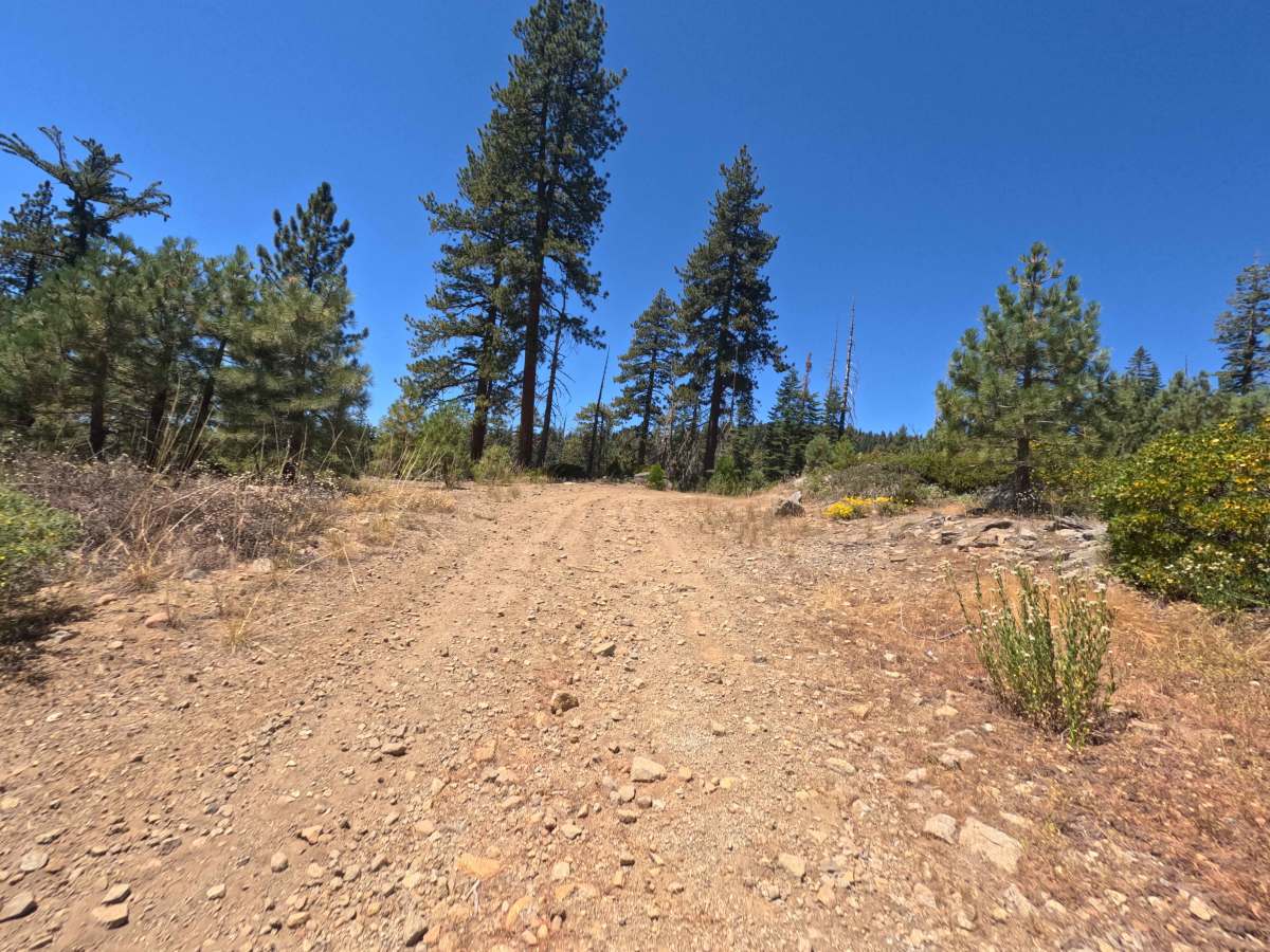
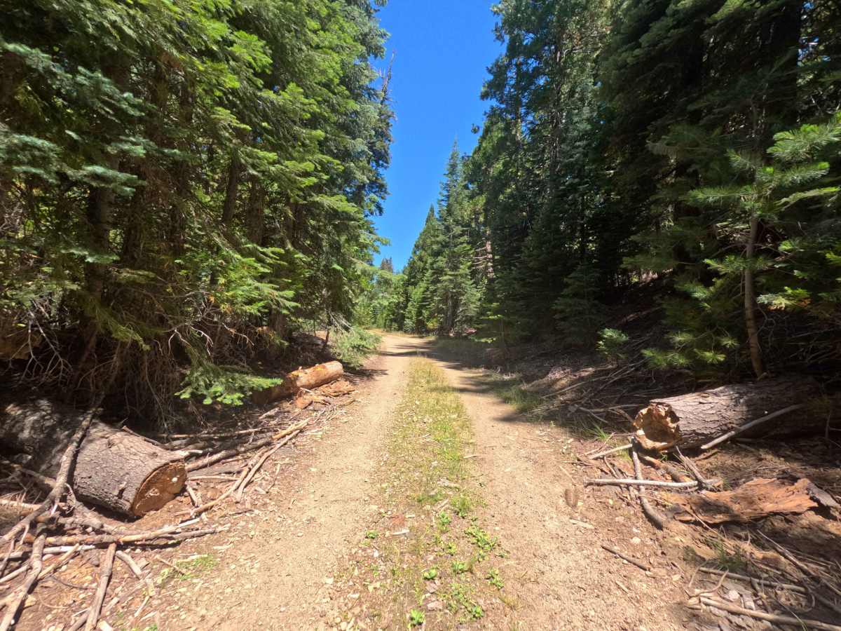
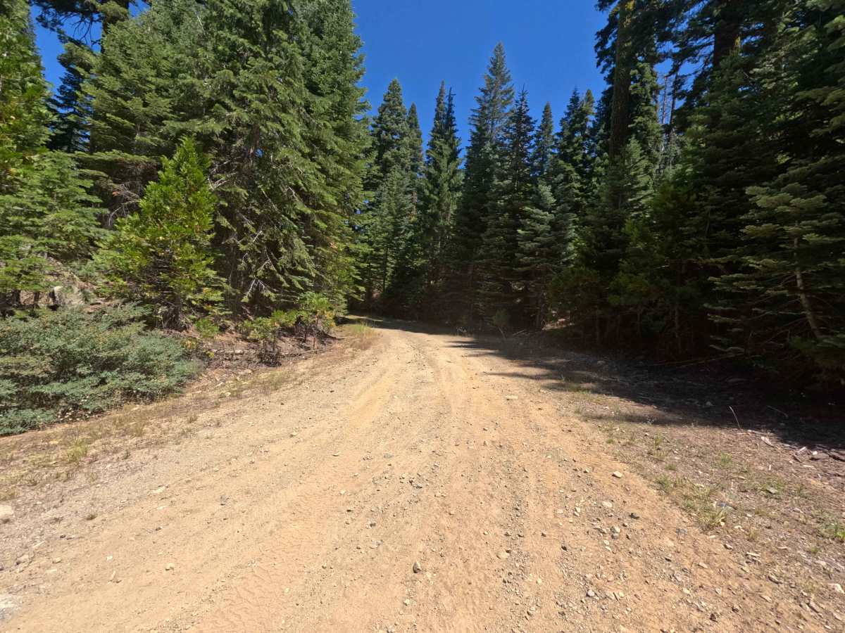
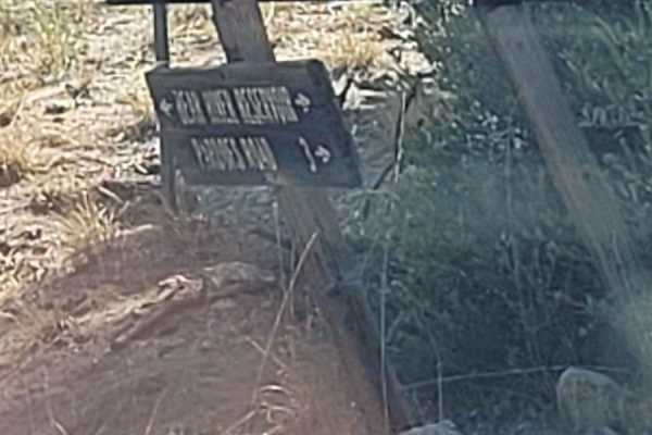
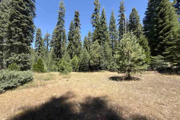
Branching directly off Tanglefoot Canyon and East Votaw, Upper Votaw (FS 8N13) serves as a brief, secluded out-and-back forest spur. Nestled within a dense, heavily timbered National Forest environment, this quiet pathway provides a quick woodland escape for outdoor explorers seeking isolation or a remote place to set up camp. A trail marker near the entrance explicitly designates the route for Jeeps, quads, and dirt bikes only. The driving surface begins as an open, single-lane packed dirt track dotted with scattered loose rocks before gradually transitioning into a slightly rougher, less maintained corridor. As travelers venture deeper into the evergreen canopy, the surroundings feel progressively more rugged and overgrown. A few downed trees and scattered wooden debris line the edges of the pathway, though these hazards have been adequately cleared to allow for comfortable passage. While the trail is officially mapped to continue further, the usable track abruptly terminates after approximately one mile at a heavily overgrown, long-abandoned section. This dead-end functions as the route's primary destination, offering a modest, primitive dispersed campsite and a quiet turnaround point before heading back out of the deep woods.
Difficulty
This short woodland spur features a generally firm, packed dirt foundation mixed with patches of loose rock and minor surface ruts. Severe technical off-road challenges such as deep mud bogs, intimidating boulder crawls, and steep, perilous drop-offs are completely absent from the journey. However, drivers must remain alert to navigate around previously cleared downed trees, scattered wooden debris, and increasingly uneven terrain as the route loses its maintenance. The primary non-technical consideration involves the trail's restricted usage; posted signage clearly limits access to Jeeps, quads, and dirt bikes, ensuring excessively wide or oversized rigs do not attempt to squeeze through the narrow, single-lane forest track. As the corridor narrows toward the end, encroaching brush may cause very light vehicle pinstriping, requiring a slow, steady driving pace averaging ten miles per hour to safely reach the final camping clearing.

 Offroad