Trail Overview
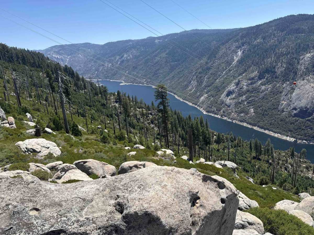
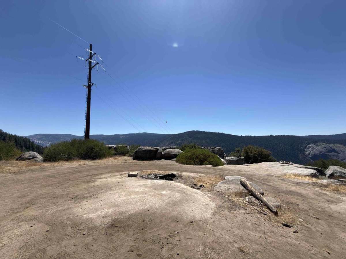
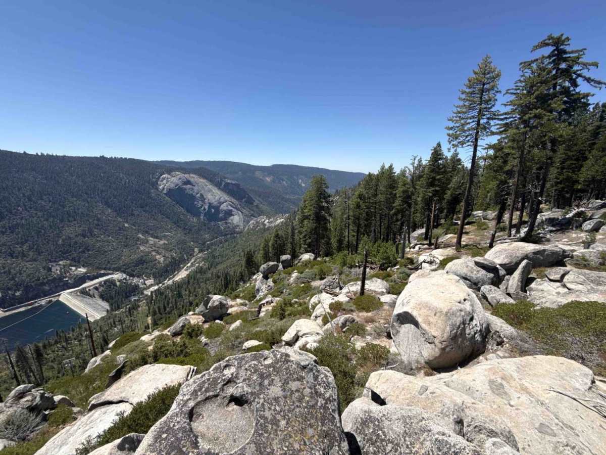
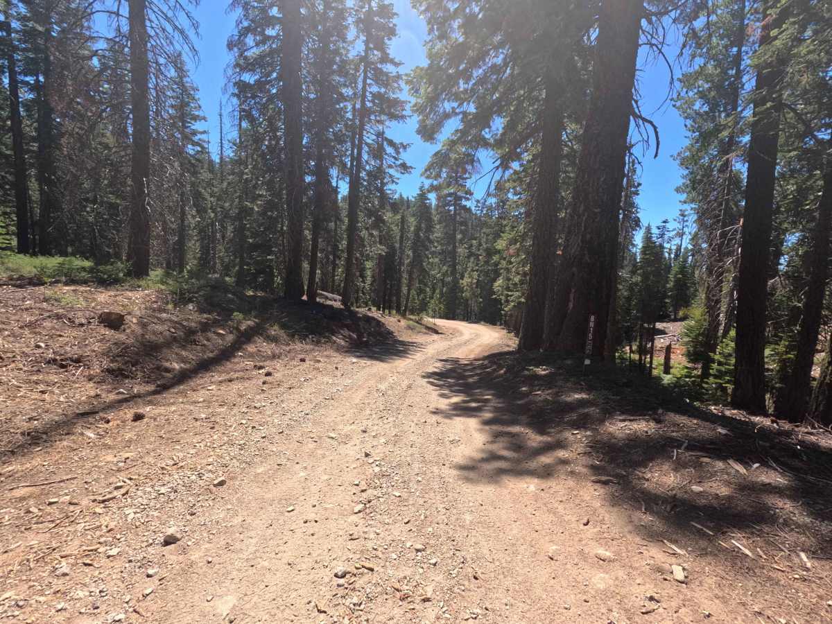
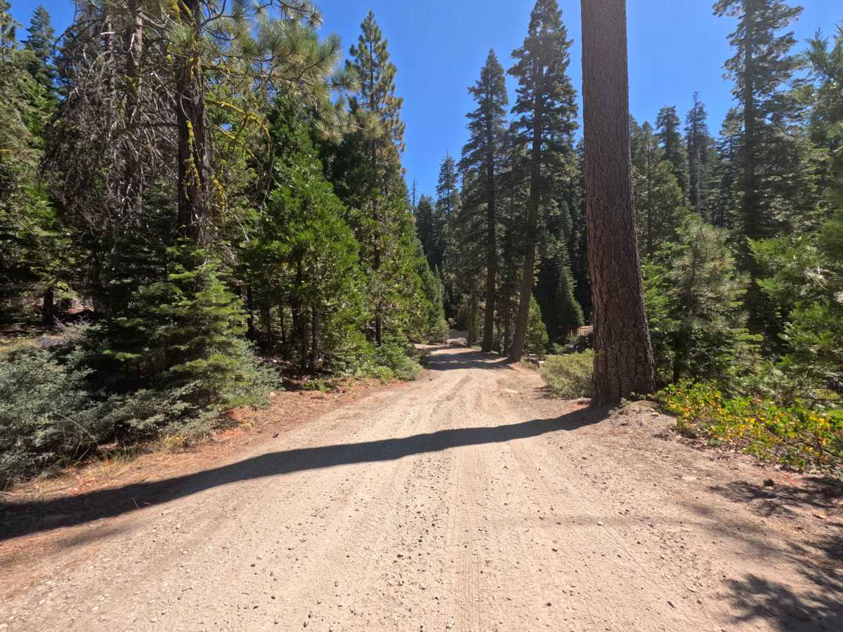
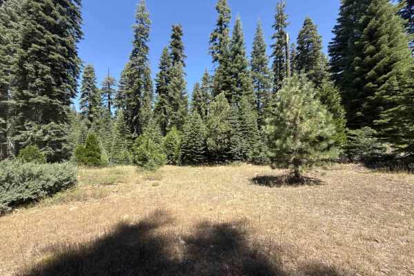
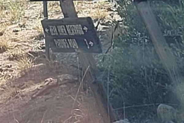
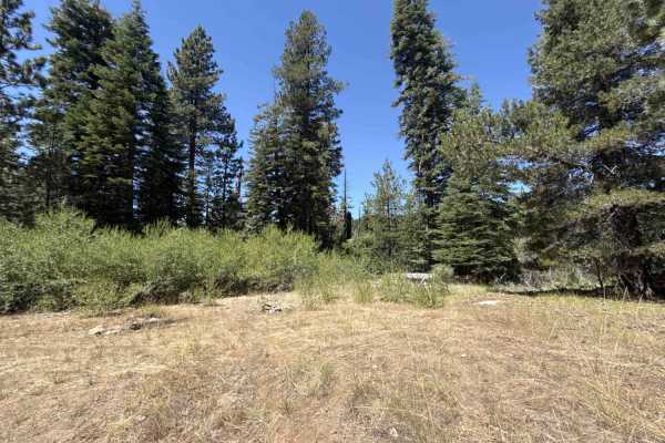
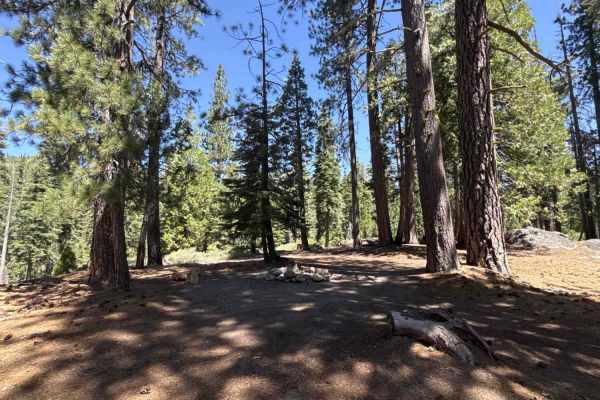
Accessed directly from the pavement of Forest Road 8N16, Penstock Cole - FS 8N15 is a highly rewarding out-and-back spur nestled within the dense, shaded timber of the National Forest. Functioning primarily as a utility access route for local power lines, this 1.3-mile pathway invites outdoor explorers to enjoy a brisk, scenic drive leading to breathtaking vantage points. The driving surface consists of a wide, single-lane packed dirt and gravel foundation that earns a moderate Grade 2 difficulty rating. Traversing the brief distance takes approximately six minutes, translating to a relatively swift average speed of 13 mph thanks to the well-kept nature of the track. After passing an initial stretch of minor ruts and scattered loose rocks, travelers will encounter a sturdy wooden bridge crossing over the picturesque Cole Creek, bordered by an inviting dispersed campsite. Beyond the water crossing, the route features a gentle incline through the heavy evergreen canopy before passing the FS 8N15A junction and descending slightly toward the trail's terminus. The journey ultimately concludes at a spectacular, wide-open utility clearing that provides sweeping, panoramic views overlooking the entirety of Salt Springs Reservoir and the majestic mountain ranges rising behind it, making it an ideal destination for an afternoon picnic before turning around to exit the wilderness.
Difficulty
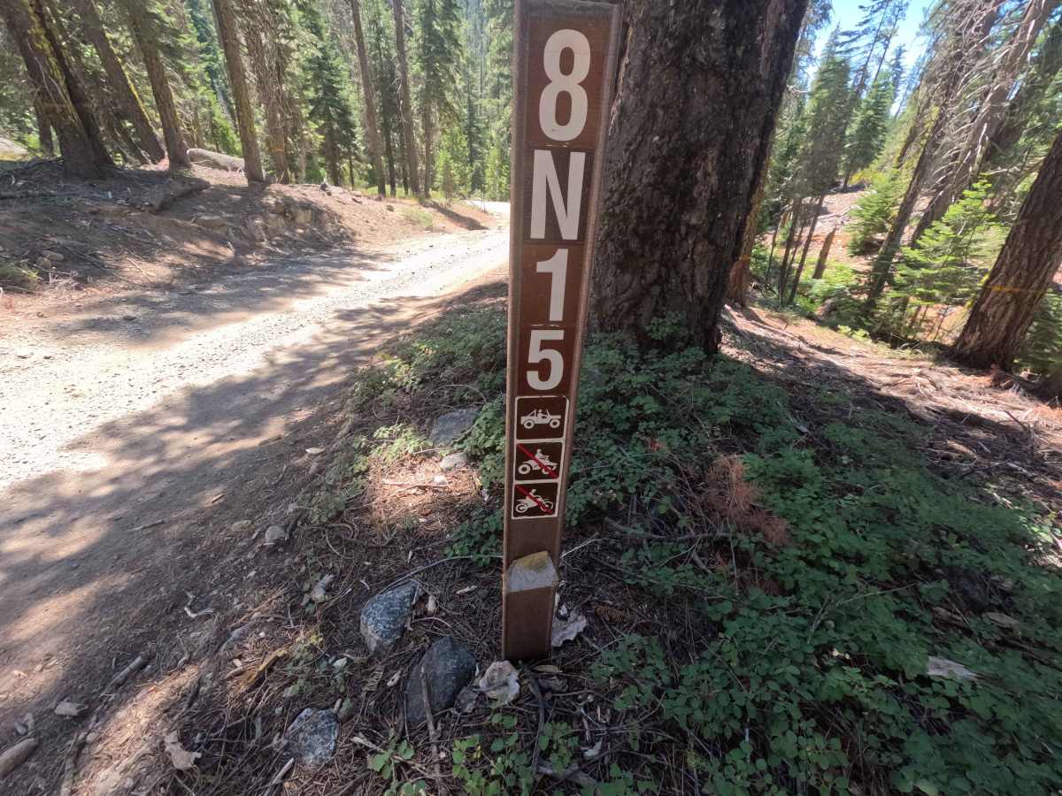
Earning an accessible Grade 2 difficulty rating, this out-and-back mountain spur features a generally firm, packed dirt base that presents only a handful of mild terrain variations. Deep mud bogs, intimidating rock crawls, and treacherous washouts are completely absent from this well-maintained utility corridor. At the very beginning of the drive, travelers must navigate over a few minor surface ruts, shallow dips, and patches of loose gravel, all of which are easily managed with cautious steering and steady momentum. The pathway remains comfortably wide throughout the journey, providing ample clearance to avoid any encroaching trailside brush while crossing the sturdy wooden bridge at Cole Creek. Non-technical considerations involve recognizing posted trail restrictions—as markers explicitly permit standard vehicle travel while prohibiting ATVs and dirt bikes—and managing the gentle inclines leading up to the final scenic clearing overlooking the reservoir.