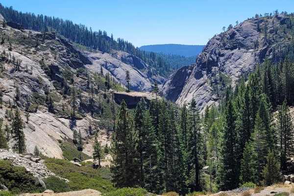
Tanglefoot Canyon

Total Miles3.7
Technical Rating
2Easy
Best TimeSpring, Summer, Fall
Trail TypeFull-Width Road
Accessible By
Open Trail Map

Trail Overview

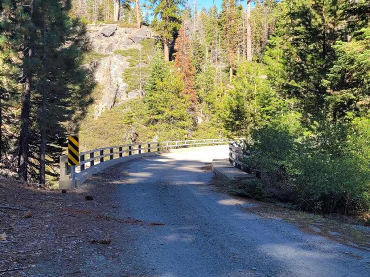
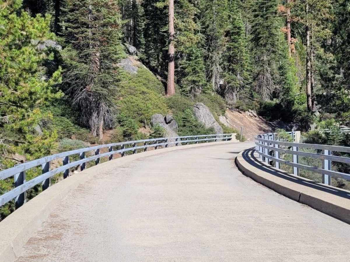
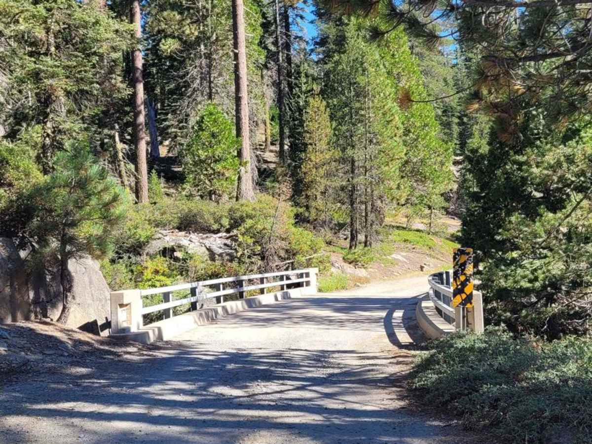
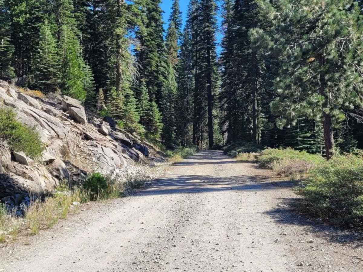
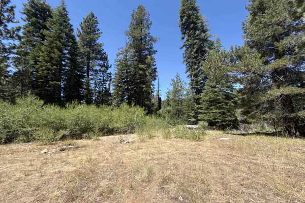
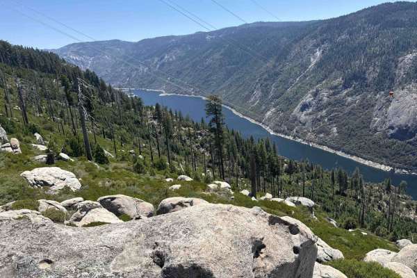
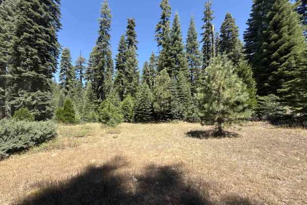
This trail is located in the El Dorado National Forest in Amador County, FS Road 8N14. It's a nicely graded gravel route for a quarter of the way in. You will cross two bridges across Cole Creek in the beginning, and then the trail becomes dirt and rocks the rest of the way. The route will take you through beautiful views of the Mokelumne River Canyon and Mokelumne Peak.

Photos of Tanglefoot Canyon

Difficulty

This is FS Road 8N14, an easy route for 4WD as well as 2WD. 2WD/AWD vehicles should have some clearance to maneuver over small granite rocks. Be cautious of the tire popping rocks. As with all routes traveled off-road, have good-rated ply tires and recovery gear just in case.

History

A lot of the trails within the El Dorado National Forest were old wagon/pioneer and cattlemen routes.

Technical Rating

2

Status Reports

Add Status Report
David Bell
Jan 26, 2025
Open
The MVUM says that the trail is open year round, but the county closed the road to access the trail for the winter.
Nathan B
Jan 01, 2025
Open
Gail Jones
Jun 12, 2024
Open

Tanglefoot Canyon Trail can be accessed by the following ride types:

  • Single Track
  • 50 Inch
  • 60 Inch
  • High Clearance
  • Full Width

Tanglefoot Canyon Map

The onX Offroad Difference

onX Offroad combines trail photos, descriptions, difficulty ratings, width restrictions, seasonality, and more in a user-friendly interface. Available on all devices, with offline access and full compatibility with CarPlay and Android Auto. Discover what you're missing today!

Open Trail Map