Trail Overview
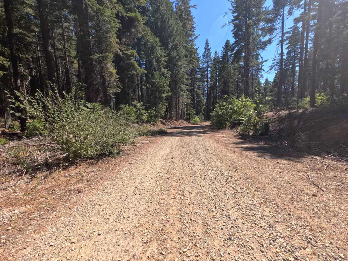
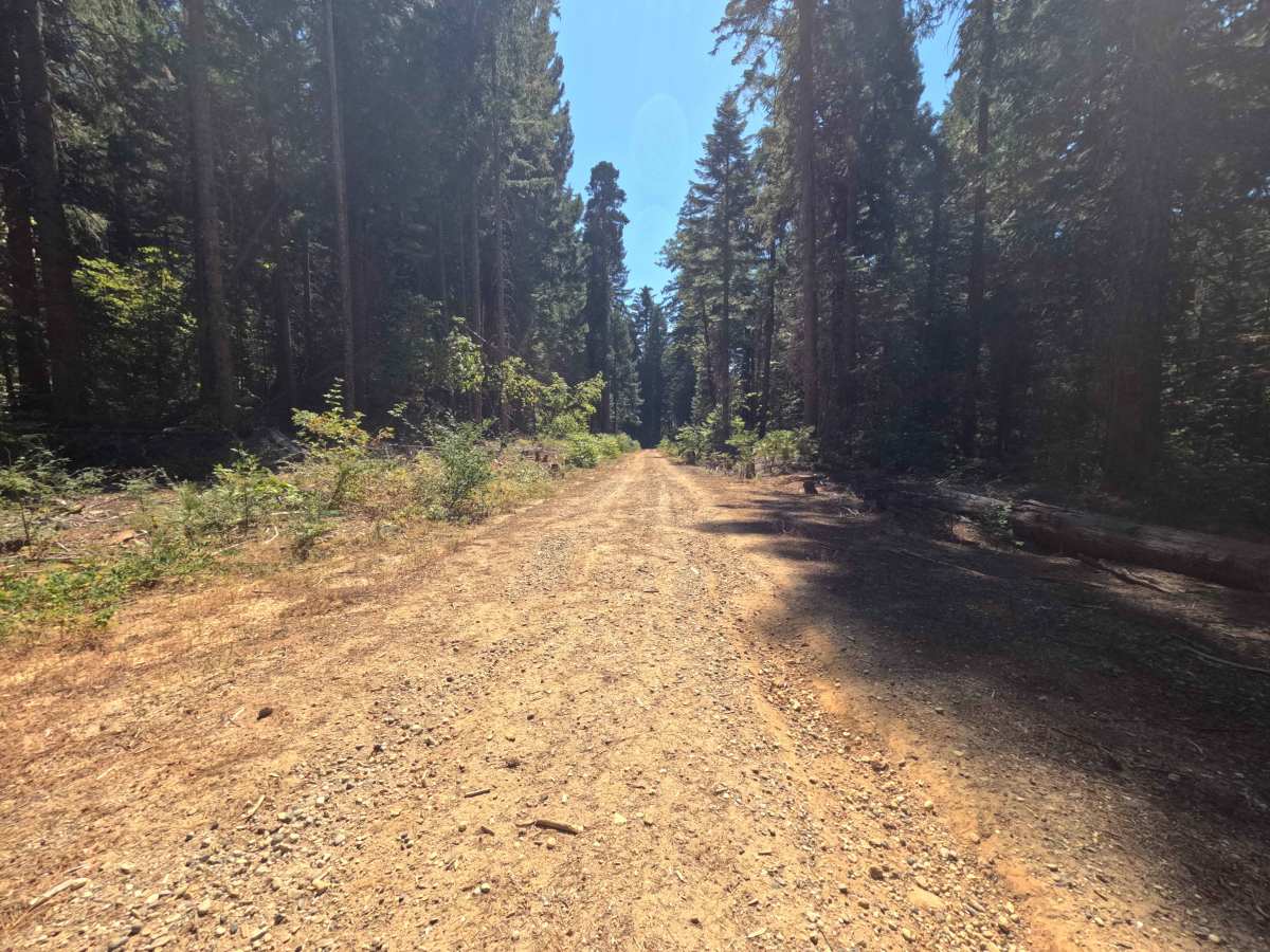
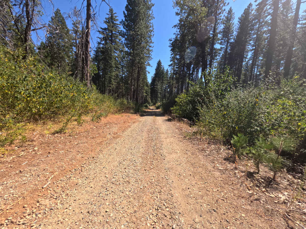
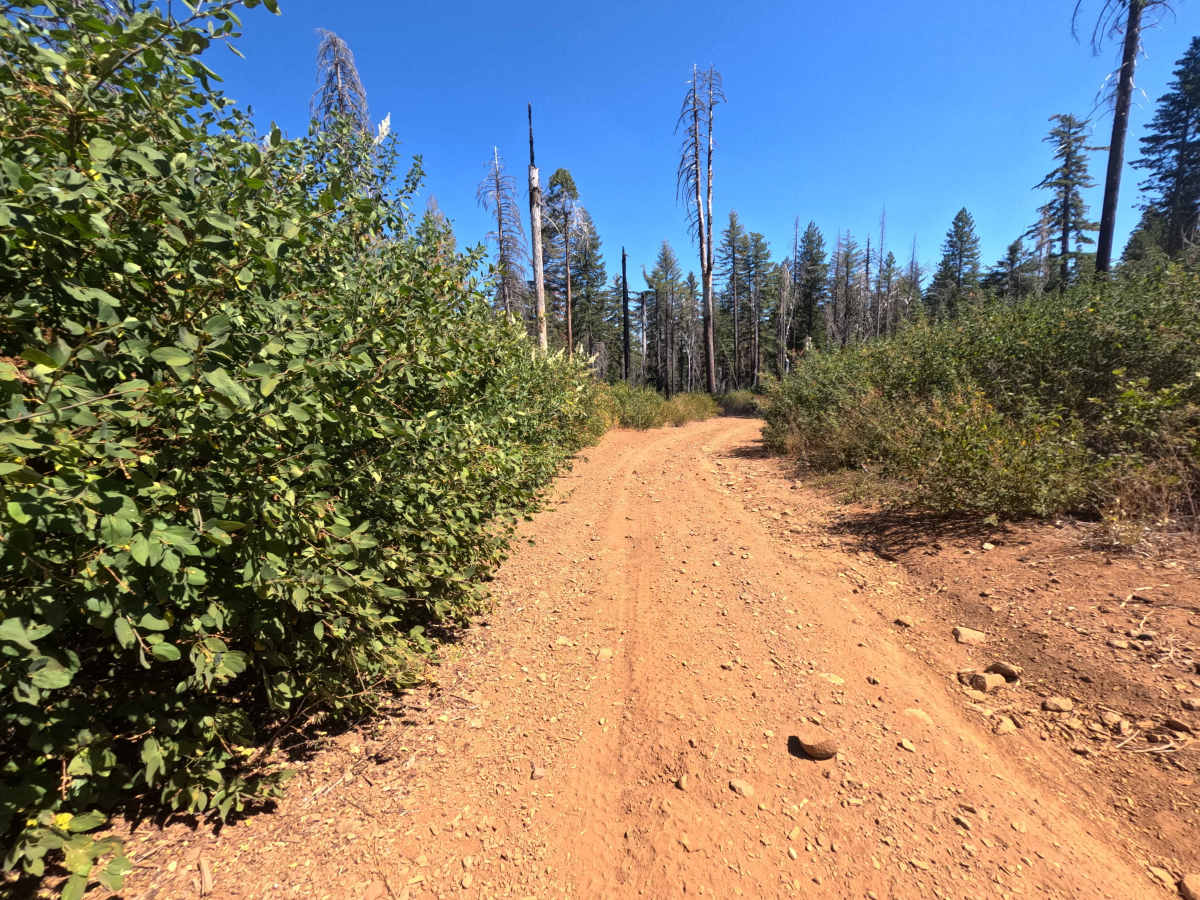
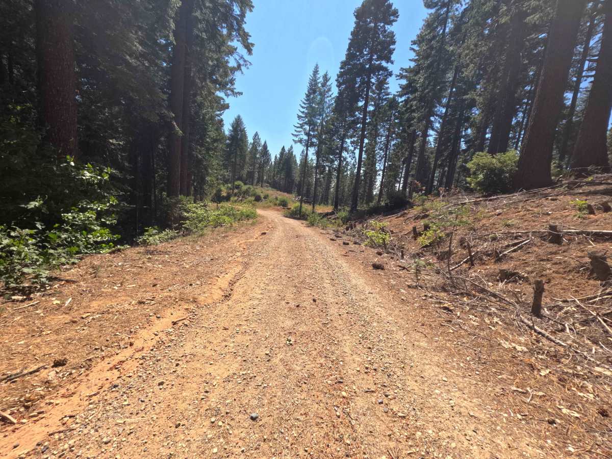
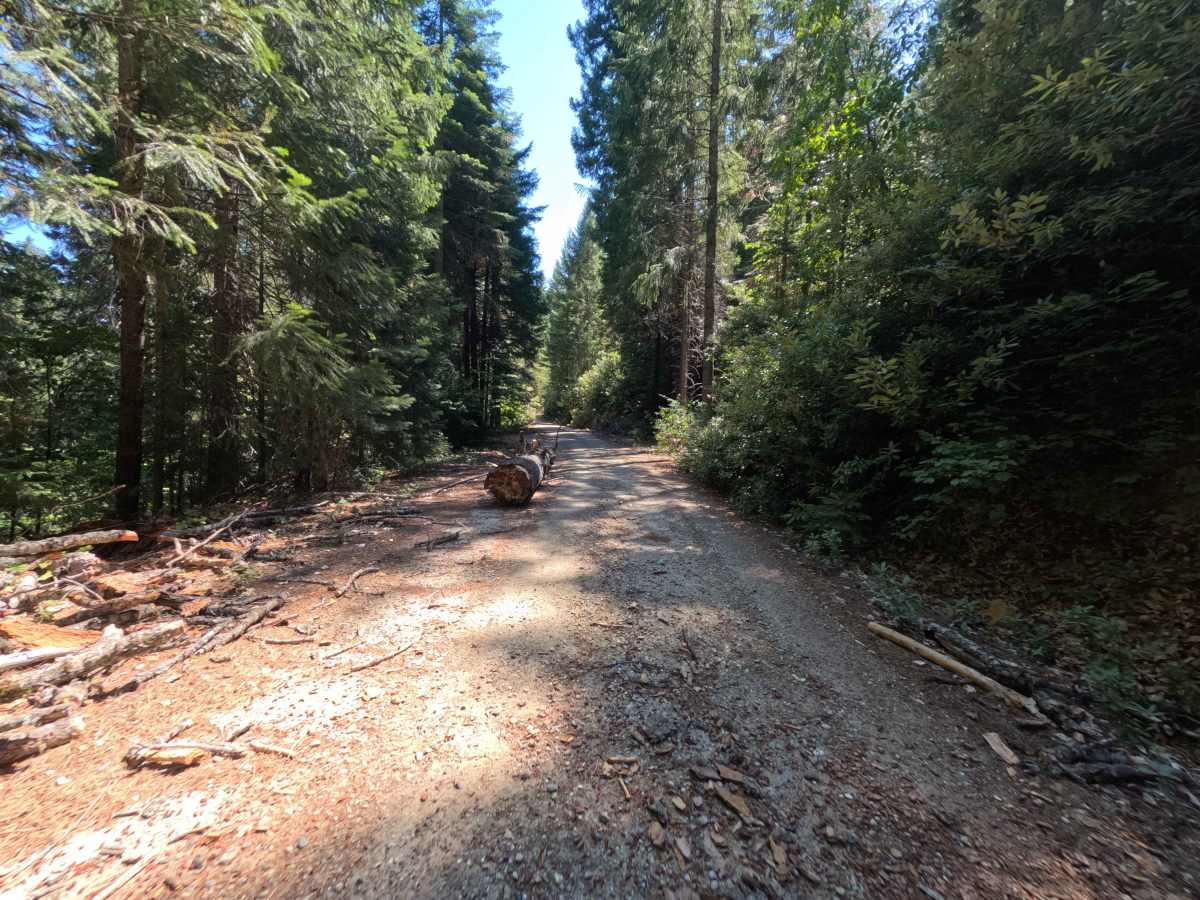
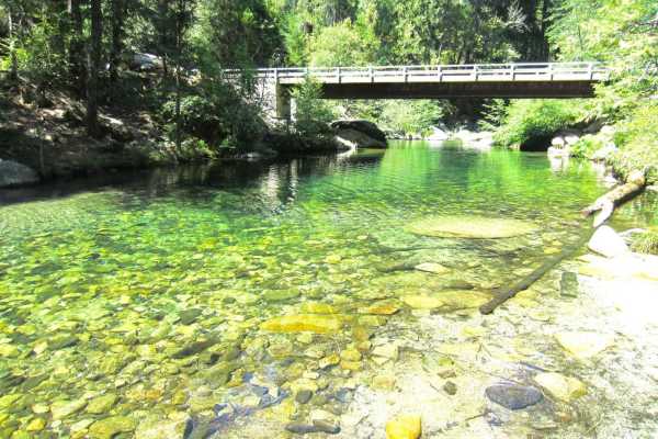
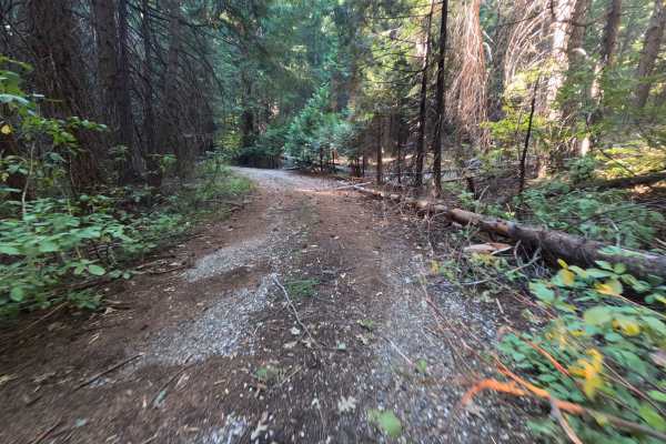
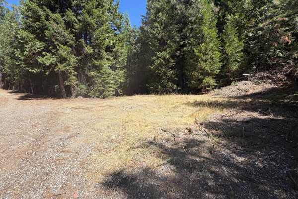
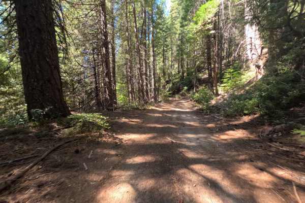
Serving as a direct backcountry connector, Upper French Creek - FS 21N56 links Mooreville Ridge Road with the elevated ridgeline tracks overlooking the French Creek basin. This undulating single-lane dirt thoroughfare traverses terrain managed by the Plumas National Forest, traveling through an open landscape actively regenerating with vibrant brush and young pines following the 2020 North Complex Fire before transitioning into shaded pockets of mature conifer woodland. The roadway consists predominantly of packed native soil, weathered gravel, and pine needle duff, earning an approachable trail difficulty rating of 1. Midway along the route, level clearings on either side of the track create inviting dispersed camping spots capable of accommodating a couple of rigs, while the southern terminus sits adjacent to a peaceful forest pond. Forest visitors frequent this scenic bypass to establish quiet rustic campsites, access seasonal hunting territory, and travel between higher ridges and nearby aquatic recreation areas.
Difficulty
Carrying a rating of 1, this forest connector is well-graded and straightforward to navigate from either direction. The running surface is composed of firm dirt and fine decomposed granite, remaining free of significant ledges or boulder fields. Shallow erosion ruts and drainage grooves cut across the track in shaded low spots; approach these at a measured pace and straddle the wheel tracks along the high ridges to ensure continuous undercarriage clearance. The route is largely single-lane with clear lines of sight, offering multiple broad clearings and gentle shoulders to yield comfortably to opposing traffic.